Brick Kiln Plantation

Wood, Forest in Suffolk Babergh

England

Brick Kiln Plantation

Barley field off Brand's Lane
Barley field off Brand's Lane Credit: Jonathan Thacker

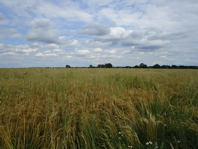
Brick Kiln Plantation is a picturesque woodland located in Suffolk, England. Situated near the village of Wood, this forested area covers approximately 200 acres and is a popular destination for nature enthusiasts and outdoor enthusiasts alike.

The plantation is characterized by its dense woodland, consisting mainly of oak and beech trees that provide a rich and diverse habitat for a wide range of flora and fauna. The forest floor is carpeted with a variety of wildflowers, adding bursts of color to the landscape during the spring and summer months.

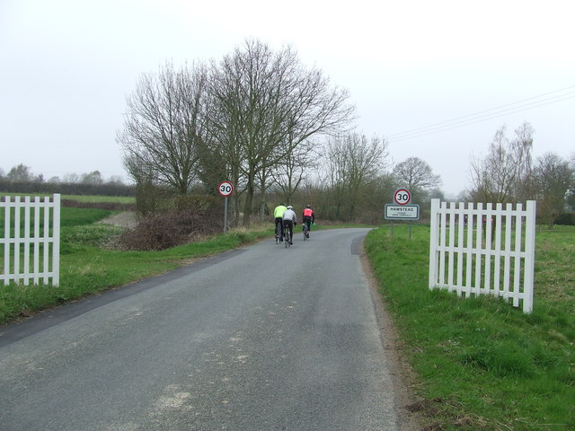
Walking trails wind their way through the plantation, allowing visitors to explore and immerse themselves in the natural beauty of the area. These trails offer opportunities for birdwatching, with sightings of woodland birds such as woodpeckers, nuthatches, and tawny owls being common.

Brick Kiln Plantation is also home to a variety of wildlife, including deer, foxes, and rabbits. The forest provides a safe haven for these animals, allowing them to flourish in their natural habitat.

In addition to its natural beauty, the plantation also has historical significance. The name "Brick Kiln" refers to the brick-making industry that once thrived in the area. Remnants of old kilns can still be found within the woodland, serving as a reminder of the area's industrial past.

Overall, Brick Kiln Plantation offers a serene and tranquil escape from the hustle and bustle of everyday life. Its stunning natural surroundings and historical significance make it a must-visit destination for those seeking a peaceful retreat in Suffolk.

If you have any feedback on the listing, please let us know in the comments section below.

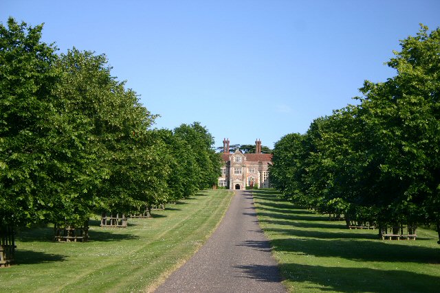
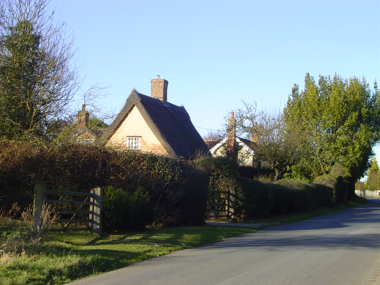
Brick Kiln Plantation Images

Images are sourced within 2km of 52.173863/0.71709898 or Grid Reference TL8556. Thanks to Geograph Open Source API. All images are credited.

Barley field off Brand's Lane
Isolated tree near Makin's Farm
Church Farmhouse, Stanningfield Seventeenth century house <span class="nowrap"><a title="https://historicengland.org.uk/listing/the-list/list-entry/1278921" rel="nofollow ugc noopener" href="https://historicengland.org.uk/listing/the-list/list-entry/1278921">Link</a><img style="margin-left:2px;" alt="External link" title="External link - shift click to open in new window" src="https://s1.geograph.org.uk/img/external.png" width="10" height="10"/></span>
Church Farmhouse, Stanningfield
Seventeenth century house LinkExternal link
Field of sugar beet by Brands Lane
Field by Brands Lane Looking towards Rowney Farm
Field by Brands Lane
Looking towards Rowney Farm
Field of sugar beet by Brands Lane
Straight Road, Melon Green
Road junction in Lawshall This junction is actually a crossroads.  The road to the right is Melford Road with Bury Road off to the left.  Straight ahead is Lambs Lane and opposite is Golden Lane.
Road junction in Lawshall
This junction is actually a crossroads. The road to the right is Melford Road with Bury Road off to the left. Straight ahead is Lambs Lane and opposite is Golden Lane.
Donkey Lane, between Lawshall and Stanningfield
St. Nicholas: the parish church of Stanningfield This church once had a much taller 14th century tower but the top was removed as it was classed as dangerous. Inside the church is an early 19th century photograph that shows the original tower.
St. Nicholas: the parish church of Stanningfield
This church once had a much taller 14th century tower but the top was removed as it was classed as dangerous. Inside the church is an early 19th century photograph that shows the original tower.
Memorial To Johannes Bartholomeus Jat Van Mesdag WWII memorial to crashed Mustang pilot Johannes Bartholomeus Jat Van Mesdag at side of a country road near to Lawshall, Suffolk. For more info on this young airman see <span class="nowrap"><a title="http://www.aircrewremembered.com/van-mesdag-johannes.html" rel="nofollow ugc noopener" href="http://www.aircrewremembered.com/van-mesdag-johannes.html">Link</a><img style="margin-left:2px;" alt="External link" title="External link - shift click to open in new window" src="https://s1.geograph.org.uk/img/external.png" width="10" height="10"/></span> and for overall view see <a title="https://www.geograph.org.uk/photo/2595650" href="https://www.geograph.org.uk/photo/2595650">Link</a>
Memorial To Johannes Bartholomeus Jat Van Mesdag
WWII memorial to crashed Mustang pilot Johannes Bartholomeus Jat Van Mesdag at side of a country road near to Lawshall, Suffolk. For more info on this young airman see LinkExternal link and for overall view see Link
Airman's Memorial WWII memorial to crashed Mustang pilot Johannes Bartholomeus Jat Van Mesdag at side of a country road near to Lawshall, Suffolk. For more info on this young airman see <span class="nowrap"><a title="http://www.aircrewremembered.com/van-mesdag-johannes.html" rel="nofollow ugc noopener" href="http://www.aircrewremembered.com/van-mesdag-johannes.html">Link</a><img style="margin-left:2px;" alt="External link" title="External link - shift click to open in new window" src="https://s1.geograph.org.uk/img/external.png" width="10" height="10"/></span> and for close up view see <a title="https://www.geograph.org.uk/photo/2595635" href="https://www.geograph.org.uk/photo/2595635">Link</a>
Airman's Memorial
WWII memorial to crashed Mustang pilot Johannes Bartholomeus Jat Van Mesdag at side of a country road near to Lawshall, Suffolk. For more info on this young airman see LinkExternal link and for close up view see Link
Haystack Interesting haystack near to Stanningfield, Suffolk.
Haystack
Interesting haystack near to Stanningfield, Suffolk.
Cyclists Entering Hawstead Cyclists entering Hawstead, Suffolk.
Cyclists Entering Hawstead
Cyclists entering Hawstead, Suffolk.
Lawshall Road Lawshall Road looking north near to Hawstead, Suffolk.
Lawshall Road
Lawshall Road looking north near to Hawstead, Suffolk.
Country Road Country road and footpath near to Lawshall, Suffolk.
Country Road
Country road and footpath near to Lawshall, Suffolk.
Oak Tree This old oak tree is marked on the O.S. 1:25:000 map near to Hawstead, Suffolk.
Oak Tree
This old oak tree is marked on the O.S. 1:25:000 map near to Hawstead, Suffolk.
Through The Trees Track through a small wood near to Stanningfield, Suffolk.
Through The Trees
Track through a small wood near to Stanningfield, Suffolk.
Show me another place!

Brick Kiln Plantation is located at Grid Ref: TL8556 (Lat: 52.173863, Lng: 0.71709898)

Administrative County: Suffolk

District: Babergh

Police Authority: Suffolk

What 3 Words

///product.training.stall. Near Bury St Edmunds, Suffolk

Related Wikis

Coldham Cottage

The Church of Our Lady Immaculate and St Joseph, otherwise known as Coldham Cottage is the oldest continuing Roman Catholic church in Suffolk. It is in...

Coldham Hall

Coldham Hall is a Grade I listed building, built in 1574, that is located in the parish of Bradfield Combust with Stanningfield in Suffolk. The Hall is...

Lambs Lane, Lawshall

Lambs Lane is a nuclear settlement in the civil parish of Lawshall in the Babergh district in the county of Suffolk, England. In addition to Lambs Lane...

Harrow Green

Harrow Green is a hamlet in the civil parish of Lawshall in the Babergh district in the county of Suffolk, England. It is located between Lambs Lane and...

Related Videos

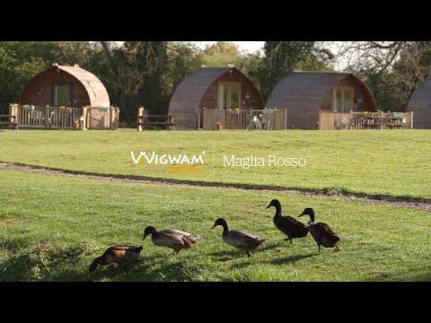
Wigwam Holidays Maglia Rosso | Glamping in Suffolk

Wigwam® Holidays Maglia Rosso is set in the beautiful, unspoiled Suffolk countryside in the village of Hawstead, just four miles ...

Nearby Amenities

Located within 500m of 52.173863,0.71709898
Bus Stop
Shelter
Naptan AtcoCode: 390051067
Naptan Bearing: N
Naptan CommonName: Shelter
Naptan Indicator: o/s
Naptan Landmark: Shelter
Naptan NaptanCode: sufjgtjw
Naptan Street: Bury Road
Naptan Verified: no
Source: naptan_import
Lat/Long: 52.1766441/0.7172269
Bus Stop
Shelter
Naptan AtcoCode: 390051068
Naptan Bearing: S
Naptan BusStopType: CUS
Naptan CommonName: Shelter
Naptan Indicator: opp
Naptan Landmark: Shelter
Naptan NaptanCode: sufjgtma
Naptan Street: Bury Road
Naptan Verified: no
Source: naptan_import
Lat/Long: 52.1766304/0.7174308
The data included in this document is from www.openstreetmap.org. The data is made available under ODbL.

Have you been to Brick Kiln Plantation?

Leave your review of Brick Kiln Plantation below (or comments, questions and feedback).