Birch Wood
Wood, Forest in Kent Maidstone
England
Birch Wood

Birch Wood is a picturesque forest located in the county of Kent, in southeastern England. Spanning an area of approximately 50 acres, this woodland is known for its abundant birch trees that create a stunning and serene environment.
The woodland is characterized by its dense foliage and tall, slender birch trees, which give the area a unique and enchanting atmosphere. The silver-white bark of the birch trees contrasts beautifully with the lush greenery of the forest floor, creating a striking visual spectacle, particularly in the summer and autumn months.
Birch Wood is home to a diverse range of flora and fauna, making it a haven for nature enthusiasts and wildlife lovers. Visitors can expect to encounter an array of bird species, including woodpeckers and owls, as well as small mammals such as foxes, squirrels, and rabbits.
A network of well-maintained trails and footpaths crisscrosses the wood, allowing visitors to explore its natural beauty at their leisure. These pathways lead to various points of interest, such as tranquil ponds, secluded clearings, and ancient trees that have been standing for centuries.
Birch Wood is a popular destination for outdoor activities, including walking, jogging, and picnicking. The peaceful ambiance and scenic surroundings make it an ideal spot for relaxation and communing with nature. Additionally, the forest provides an excellent opportunity for educational activities, such as nature walks and wildlife observation.
Overall, Birch Wood in Kent is a delightful destination for those seeking tranquility amidst nature's beauty. Its lush vegetation, diverse wildlife, and well-maintained trails make it a must-visit location for individuals of all ages.
If you have any feedback on the listing, please let us know in the comments section below.
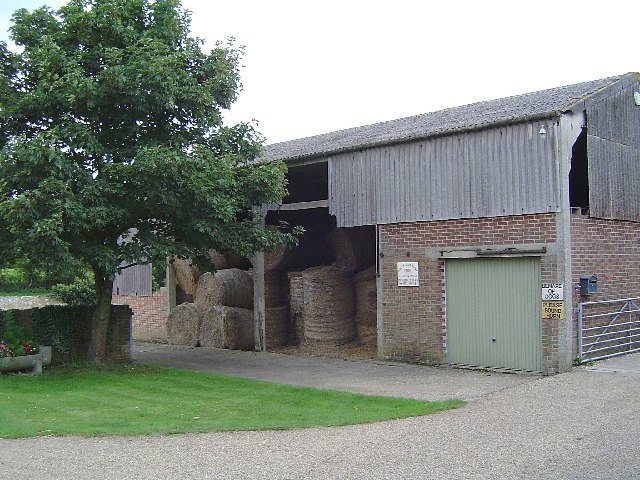
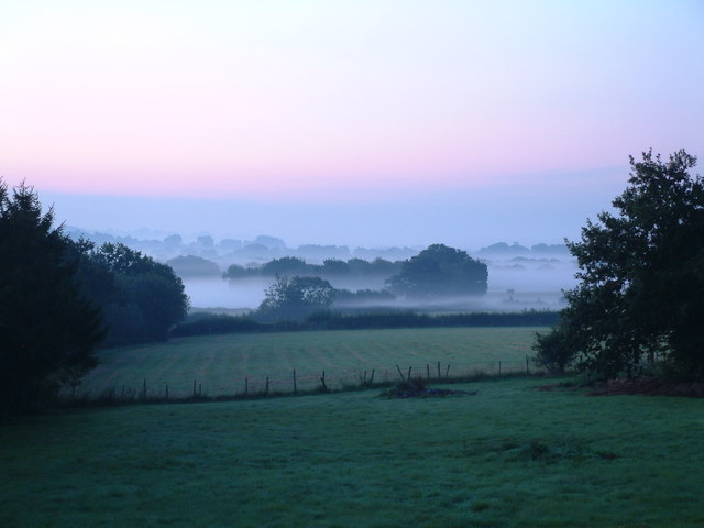
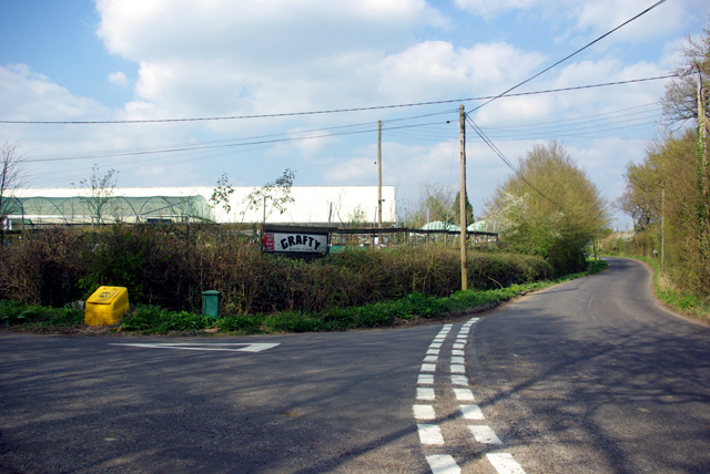
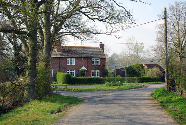
Birch Wood Images
Images are sourced within 2km of 51.201707/0.65890691 or Grid Reference TQ8548. Thanks to Geograph Open Source API. All images are credited.


Birch Wood is located at Grid Ref: TQ8548 (Lat: 51.201707, Lng: 0.65890691)
Administrative County: Kent
District: Maidstone
Police Authority: Kent
What 3 Words
///loved.boarded.plantings. Near Headcorn, Kent
Nearby Locations
Related Wikis

Grafty Green
Grafty Green is a village in the Maidstone district of Kent, England, falling within the civil parish of Boughton Malherbe. It contains two public houses...
Ulcombe
Ulcombe is a village near the town of Maidstone in Kent, England. The name is recorded in the Domesday Book and is thought to derive from 'Owl-coomb':...
All Saints Church, Ulcombe
All Saints is a parish church in Ulcombe, Kent. It was begun in the 12th century and is a Grade I listed building. == Building == The church was begun...
Fairbourne Heath, Kent
Fairbourne Heath is a scattered settlement in the civil parish of Harrietsham, Kent, England. It is located on a crossroads of two minor roads. Fairbourne...
Boughton Malherbe
Boughton Malherbe ( BAW-tən MAL-ər-bee) is a village and civil parish in the Maidstone district of Kent, England, equidistant between Maidstone and Ashford...

Rivers of Kent
Four major rivers drain the county of Kent, England. == River Medway == The catchment area of the Medway covers almost 25% of the county. The detailed...

Kent
Kent is a county in the South East England region, the closest county to continental Europe. It borders Essex across the entire estuary of the River Thames...

RAF Headcorn
Royal Air Force Headcorn or more commonly known as RAF Headcorn is a former Royal Air Force Advanced Landing Ground located 2 miles (3.2 km) northeast...
Nearby Amenities
Located within 500m of 51.201707,0.65890691Have you been to Birch Wood?
Leave your review of Birch Wood below (or comments, questions and feedback).