Ash Covert

Wood, Forest in Suffolk West Suffolk

England

Ash Covert

Footpath Footpath looking east near to Wordwell, Suffolk.
Footpath Credit: Keith Evans

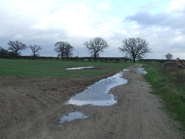
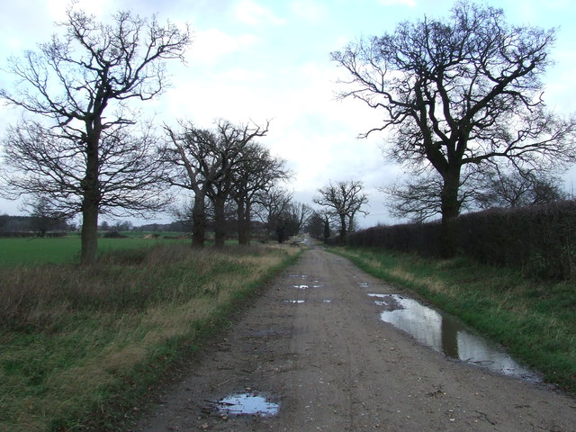
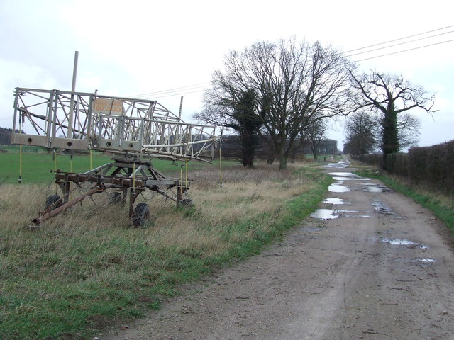
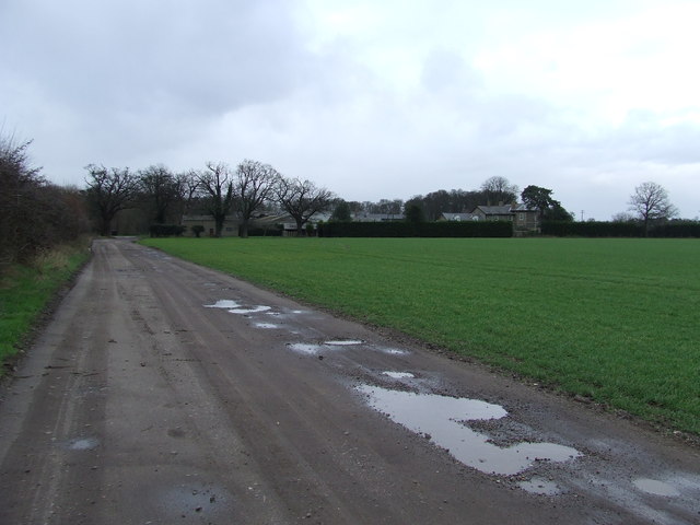
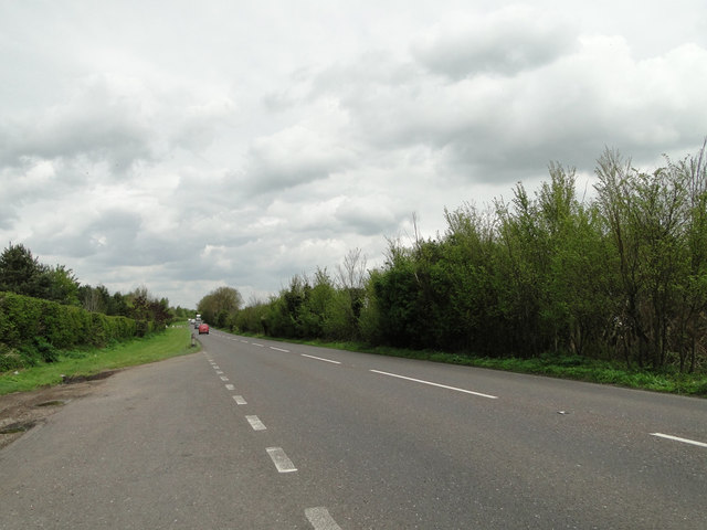
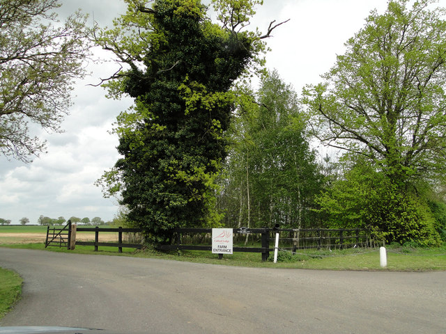
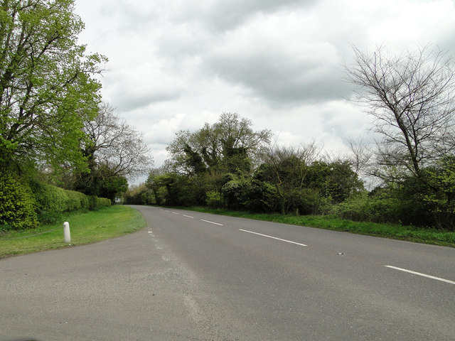
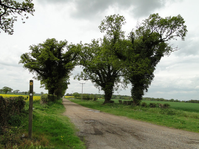
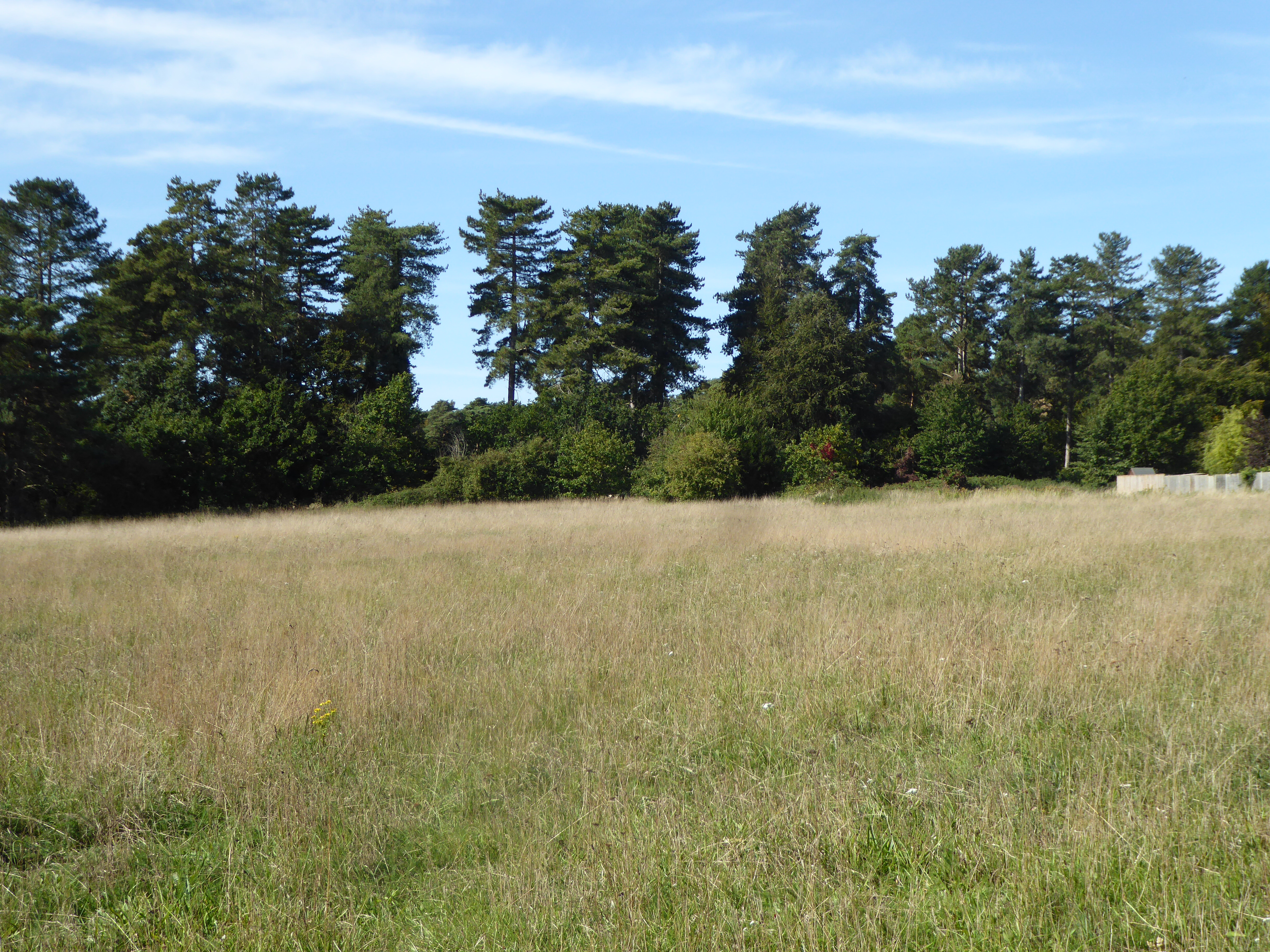
Ash Covert is a quaint woodland area located in Suffolk, England. Nestled within the larger Ash Forest, it is known for its dense foliage and tranquil atmosphere. The forest is predominantly composed of ash trees, which lend their name to the area.

Covering an approximate area of several hectares, Ash Covert is a haven for nature enthusiasts and hikers alike. With its well-maintained trails and picturesque surroundings, it offers a serene escape from the hustle and bustle of daily life. The towering ash trees provide ample shade during the summer months, making it an ideal spot for picnics or leisurely walks.

The woodland is home to a diverse range of flora and fauna, with an abundance of wildflowers, ferns, and mosses carpeting the forest floor. It is also a sanctuary for various bird species, including woodpeckers, owls, and thrushes, making it a popular destination for birdwatchers.

Ash Covert is managed by the Suffolk Wildlife Trust, ensuring the preservation of its natural beauty and biodiversity. The trust organizes educational programs and guided tours to raise awareness about the importance of conservation.

Visitors to Ash Covert can expect a peaceful and immersive experience in nature. Whether exploring the forest's winding trails, observing its wildlife, or simply enjoying the tranquility, this woodland gem offers a rejuvenating retreat for all who venture within its boundaries.

If you have any feedback on the listing, please let us know in the comments section below.
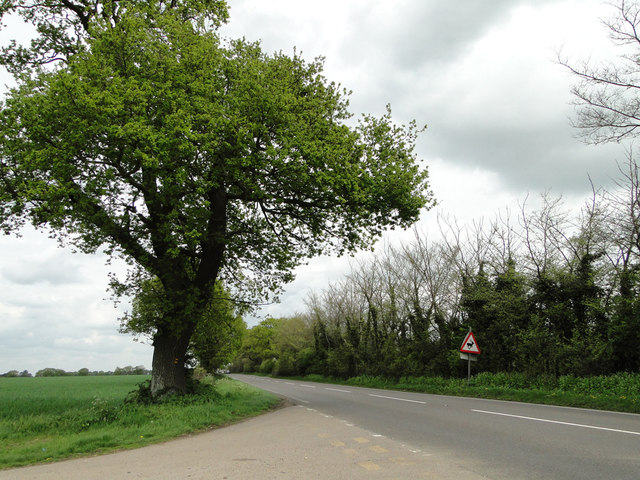
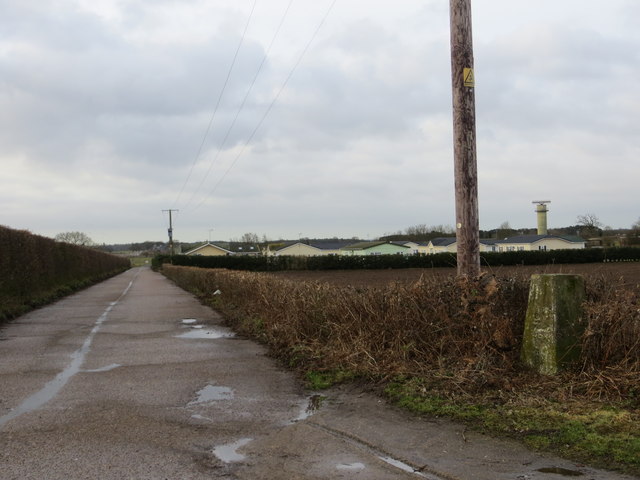
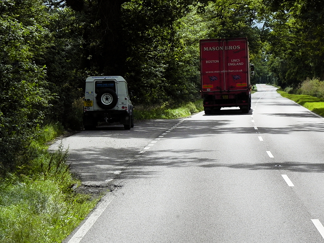
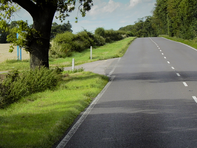
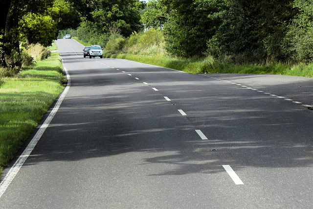
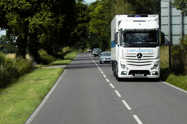
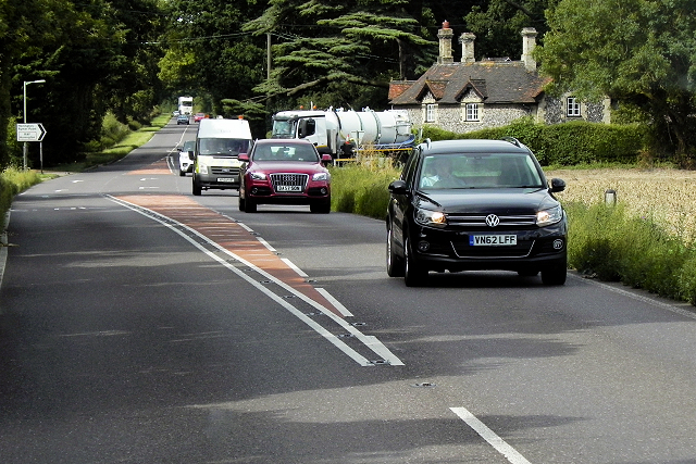
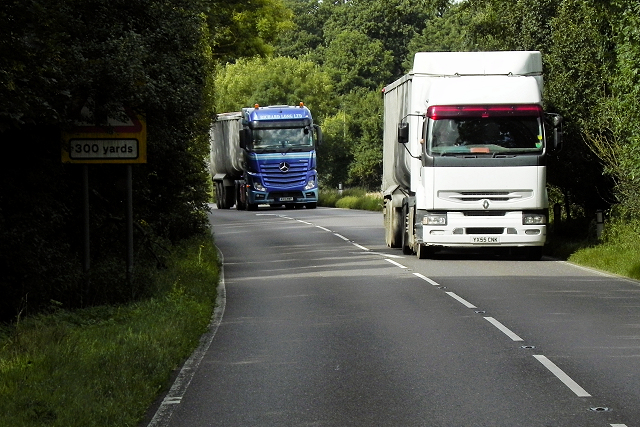
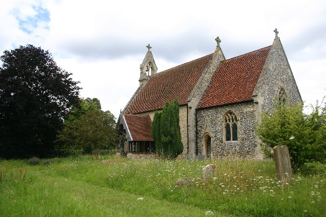
Ash Covert Images

Images are sourced within 2km of 52.341952/0.72432846 or Grid Reference TL8575. Thanks to Geograph Open Source API. All images are credited.

Footpath Footpath looking east near to Wordwell, Suffolk.
Footpath
Footpath looking east near to Wordwell, Suffolk.
Coopers Drift Looking north along a farm track marked on the map as Coopers Drift near to Ampton, Suffolk.
Coopers Drift
Looking north along a farm track marked on the map as Coopers Drift near to Ampton, Suffolk.
Farm Machinery Farm machinery at the side of Coopers Drift near to Ampton, Suffolk.
Farm Machinery
Farm machinery at the side of Coopers Drift near to Ampton, Suffolk.
Neville House Farm Distant view of Neville House Farm near to Ampton, Suffolk.
Neville House Farm
Distant view of Neville House Farm near to Ampton, Suffolk.
A layby on the A134
A layby on the A134
The entrance to Culford Lodge Farms from the A134
The A134 near Culford Lodge Farms entrance
Track to New Zealand Cottages, almost a mile away
Deer warning sign on the A134
Track beside Honington Triangulation Pillar Looking south-westward.
Track beside Honington Triangulation Pillar
Looking south-westward.
Layby on Southbound A134 The A134 road runs for 71 miles between Colchester, in Essex, and Tottenhill, a few miles to the south of King's Lynn, in Norfolk. Other towns on the A134 road include Sudbury, Bury St. Edmunds and Thetford. 

The A134 used to be the main route for commercial traffic from the North to the port of Felixstowe; however since the construction of the A14 very little commercial traffic uses it.

More detailed information at <span class="nowrap"><a title="http://www.sabre-roads.org.uk/wiki/index.php?title=A134" rel="nofollow ugc noopener" href="http://www.sabre-roads.org.uk/wiki/index.php?title=A134">Link</a><img style="margin-left:2px;" alt="External link" title="External link - shift click to open in new window" src="https://s1.geograph.org.uk/img/external.png" width="10" height="10"/></span>  SABRE Wiki
Layby on Southbound A134
The A134 road runs for 71 miles between Colchester, in Essex, and Tottenhill, a few miles to the south of King's Lynn, in Norfolk. Other towns on the A134 road include Sudbury, Bury St. Edmunds and Thetford. The A134 used to be the main route for commercial traffic from the North to the port of Felixstowe; however since the construction of the A14 very little commercial traffic uses it. More detailed information at LinkExternal link SABRE Wiki
Northbound A134 The A134 road runs for 71 miles between Colchester, in Essex, and Tottenhill, a few miles to the south of King's Lynn, in Norfolk. Other towns on the A134 road include Sudbury, Bury St. Edmunds and Thetford. 

The A134 used to be the main route for commercial traffic from the North to the port of Felixstowe; however since the construction of the A14 very little commercial traffic uses it.

More detailed information at <span class="nowrap"><a title="http://www.sabre-roads.org.uk/wiki/index.php?title=A134" rel="nofollow ugc noopener" href="http://www.sabre-roads.org.uk/wiki/index.php?title=A134">Link</a><img style="margin-left:2px;" alt="External link" title="External link - shift click to open in new window" src="https://s1.geograph.org.uk/img/external.png" width="10" height="10"/></span>  SABRE Wiki
Northbound A134
The A134 road runs for 71 miles between Colchester, in Essex, and Tottenhill, a few miles to the south of King's Lynn, in Norfolk. Other towns on the A134 road include Sudbury, Bury St. Edmunds and Thetford. The A134 used to be the main route for commercial traffic from the North to the port of Felixstowe; however since the construction of the A14 very little commercial traffic uses it. More detailed information at LinkExternal link SABRE Wiki
A134 Northbound The A134 road runs for 71 miles between Colchester, in Essex, and Tottenhill, a few miles to the south of King's Lynn, in Norfolk. Other towns on the A134 road include Sudbury, Bury St. Edmunds and Thetford. 

The A134 used to be the main route for commercial traffic from the North to the port of Felixstowe; however since the construction of the A14 very little commercial traffic uses it.

More detailed information at <span class="nowrap"><a title="http://www.sabre-roads.org.uk/wiki/index.php?title=A134" rel="nofollow ugc noopener" href="http://www.sabre-roads.org.uk/wiki/index.php?title=A134">Link</a><img style="margin-left:2px;" alt="External link" title="External link - shift click to open in new window" src="https://s1.geograph.org.uk/img/external.png" width="10" height="10"/></span>  SABRE Wiki
A134 Northbound
The A134 road runs for 71 miles between Colchester, in Essex, and Tottenhill, a few miles to the south of King's Lynn, in Norfolk. Other towns on the A134 road include Sudbury, Bury St. Edmunds and Thetford. The A134 used to be the main route for commercial traffic from the North to the port of Felixstowe; however since the construction of the A14 very little commercial traffic uses it. More detailed information at LinkExternal link SABRE Wiki
Mercedes Actros Travelling South on the A134 HSF Logistics Mercedes Actros (AY14 GUX) travelling southwards on the A134 towards Bury St Edmunds.
Mercedes Actros Travelling South on the A134
HSF Logistics Mercedes Actros (AY14 GUX) travelling southwards on the A134 towards Bury St Edmunds.
Northbound A134 The A134 road runs for 71 miles between Colchester, in Essex, and Tottenhill, a few miles to the south of King's Lynn, in Norfolk. Other towns on the A134 road include Sudbury, Bury St. Edmunds and Thetford. 

The A134 used to be the main route for commercial traffic from the North to the port of Felixstowe; however since the construction of the A14 very little commercial traffic uses it.

More detailed information at <span class="nowrap"><a title="http://www.sabre-roads.org.uk/wiki/index.php?title=A134" rel="nofollow ugc noopener" href="http://www.sabre-roads.org.uk/wiki/index.php?title=A134">Link</a><img style="margin-left:2px;" alt="External link" title="External link - shift click to open in new window" src="https://s1.geograph.org.uk/img/external.png" width="10" height="10"/></span>  SABRE Wiki
Northbound A134
The A134 road runs for 71 miles between Colchester, in Essex, and Tottenhill, a few miles to the south of King's Lynn, in Norfolk. Other towns on the A134 road include Sudbury, Bury St. Edmunds and Thetford. The A134 used to be the main route for commercial traffic from the North to the port of Felixstowe; however since the construction of the A14 very little commercial traffic uses it. More detailed information at LinkExternal link SABRE Wiki
HGVs Rounding a Bend on the A134 The A134 road runs for 71 miles between Colchester, in Essex, and Tottenhill, a few miles to the south of King's Lynn, in Norfolk. Other towns on the A134 road include Sudbury, Bury St. Edmunds and Thetford. 

The A134 used to be the main route for commercial traffic from the North to the port of Felixstowe; however since the construction of the A14 very little commercial traffic uses it.

More detailed information at <span class="nowrap"><a title="http://www.sabre-roads.org.uk/wiki/index.php?title=A134" rel="nofollow ugc noopener" href="http://www.sabre-roads.org.uk/wiki/index.php?title=A134">Link</a><img style="margin-left:2px;" alt="External link" title="External link - shift click to open in new window" src="https://s1.geograph.org.uk/img/external.png" width="10" height="10"/></span>  SABRE Wiki
HGVs Rounding a Bend on the A134
The A134 road runs for 71 miles between Colchester, in Essex, and Tottenhill, a few miles to the south of King's Lynn, in Norfolk. Other towns on the A134 road include Sudbury, Bury St. Edmunds and Thetford. The A134 used to be the main route for commercial traffic from the North to the port of Felixstowe; however since the construction of the A14 very little commercial traffic uses it. More detailed information at LinkExternal link SABRE Wiki
A134 Northbound The A134 road runs for 71 miles between Colchester, in Essex, and Tottenhill, a few miles to the south of King's Lynn, in Norfolk. Other towns on the A134 road include Sudbury, Bury St. Edmunds and Thetford. 

The A134 used to be the main route for commercial traffic from the North to the port of Felixstowe; however since the construction of the A14 very little commercial traffic uses it.

More detailed information at <span class="nowrap"><a title="http://www.sabre-roads.org.uk/wiki/index.php?title=A134" rel="nofollow ugc noopener" href="http://www.sabre-roads.org.uk/wiki/index.php?title=A134">Link</a><img style="margin-left:2px;" alt="External link" title="External link - shift click to open in new window" src="https://s1.geograph.org.uk/img/external.png" width="10" height="10"/></span>  SABRE Wiki
A134 Northbound
The A134 road runs for 71 miles between Colchester, in Essex, and Tottenhill, a few miles to the south of King's Lynn, in Norfolk. Other towns on the A134 road include Sudbury, Bury St. Edmunds and Thetford. The A134 used to be the main route for commercial traffic from the North to the port of Felixstowe; however since the construction of the A14 very little commercial traffic uses it. More detailed information at LinkExternal link SABRE Wiki
Layby on the Southbound A134 The A134 road runs for 71 miles between Colchester, in Essex, and Tottenhill, a few miles to the south of King's Lynn, in Norfolk. Other towns on the A134 road include Sudbury, Bury St. Edmunds and Thetford. 

The A134 used to be the main route for commercial traffic from the North to the port of Felixstowe; however since the construction of the A14 very little commercial traffic uses it.

More detailed information at <span class="nowrap"><a title="http://www.sabre-roads.org.uk/wiki/index.php?title=A134" rel="nofollow ugc noopener" href="http://www.sabre-roads.org.uk/wiki/index.php?title=A134">Link</a><img style="margin-left:2px;" alt="External link" title="External link - shift click to open in new window" src="https://s1.geograph.org.uk/img/external.png" width="10" height="10"/></span>  SABRE Wiki
Layby on the Southbound A134
The A134 road runs for 71 miles between Colchester, in Essex, and Tottenhill, a few miles to the south of King's Lynn, in Norfolk. Other towns on the A134 road include Sudbury, Bury St. Edmunds and Thetford. The A134 used to be the main route for commercial traffic from the North to the port of Felixstowe; however since the construction of the A14 very little commercial traffic uses it. More detailed information at LinkExternal link SABRE Wiki
Show me another place!

Ash Covert is located at Grid Ref: TL8575 (Lat: 52.341952, Lng: 0.72432846)

Administrative County: Suffolk

District: West Suffolk

Police Authority: Suffolk

What 3 Words

///instead.longingly.chain. Near Great Barton, Suffolk

Nearby Locations

Ash Covert

Related Wikis

Elm Road Field, Thetford

Elm Road Field, Thetford is a 5-hectare (12-acre) biological Site of Special Scientific Interest on the southern outskirts of Thetford in Norfolk.This...

Seven Hills Halt railway station

Seven Hills Halt railway station was a railway station in Suffolk, England on the branch line between Thetford and Bury St Edmunds. It was closed in 1953...

Little Heath, Barnham

Little Heath, Barnham lies south-west of Barnham, Suffolk. Much of the area is now a Site of Special Scientific Interest, which almost surrounds the former...
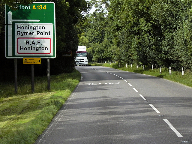
RAF Honington

Royal Air Force Honington or more simply RAF Honington (IATA: BEQ, ICAO: EGXH) is a Royal Air Force station located 6 mi (9.7 km) south of Thetford near...

Little Livermere

Little Livermere is a village and civil parish in England situated about 5 miles (8 km) north of Bury St Edmunds, in an area of Suffolk known as the Breckland...

Wordwell

Wordwell is a small village and civil parish in Suffolk, England, about five miles North of Bury St Edmunds. The village was hit by the Black Death in...

Ampton

Ampton is a village and civil parish in the West Suffolk District of Suffolk, England, about five miles north of Bury St Edmunds. According to Eilert Ekwall...
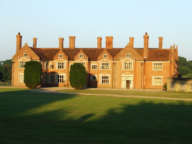
Ampton Hall

Ampton Hall is a Grade II-listed Jacobean style manor house in Ampton, Suffolk, England. Ampton Hall was the birthplace in 1805 of Robert FitzRoy, who...

Nearby Amenities

Located within 500m of 52.341952,0.72432846
Power: pole
Lat/Long: 52.342831/0.721862
Power: pole
Lat/Long: 52.3438994/0.7214114
Power: pole
Lat/Long: 52.3417757/0.722334
Culford Heath
Place: hamlet
Lat/Long: 52.3392728/0.7195787
Power: pole
Lat/Long: 52.3396978/0.7192359
Power: pole
Lat/Long: 52.3406903/0.7187713
Power: pole
Lat/Long: 52.3417957/0.7184736
Power: pole
Lat/Long: 52.3429153/0.7181821
Power: pole
Lat/Long: 52.3440255/0.7178736
The data included in this document is from www.openstreetmap.org. The data is made available under ODbL.

Have you been to Ash Covert?

Leave your review of Ash Covert below (or comments, questions and feedback).