Bryers Wood
Wood, Forest in Suffolk West Suffolk
England
Bryers Wood
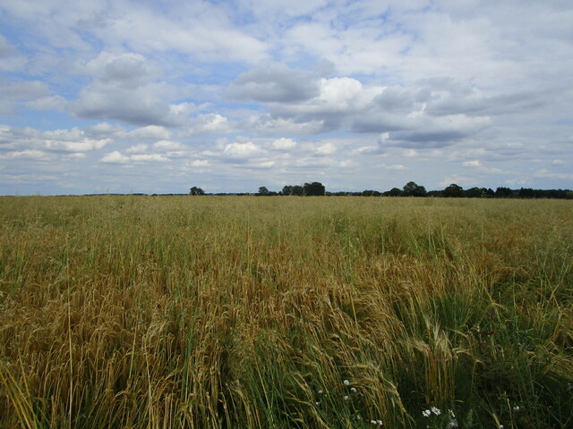
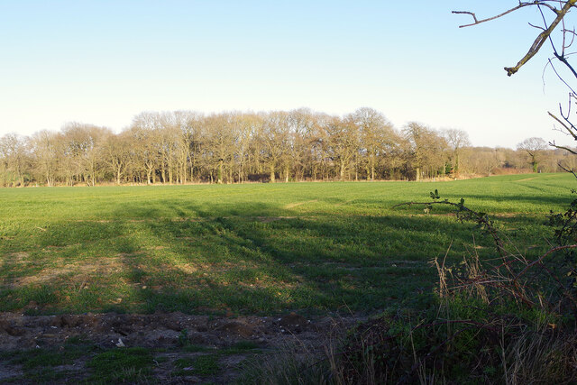
Bryers Wood is a picturesque woodland located in Suffolk, England. Covering an area of approximately 50 acres, this tranquil forest is a haven for nature enthusiasts and outdoor lovers alike. Situated just a few miles northeast of the town of Woodbridge, Bryers Wood offers a peaceful escape from the hustle and bustle of everyday life.
The wood is primarily composed of a diverse mix of deciduous trees, including oak, beech, and ash, which create a rich and vibrant canopy overhead. The forest floor is adorned with a variety of wildflowers, ferns, and mosses, adding to its natural beauty. The wood is also home to a wide range of wildlife, from small mammals like squirrels and foxes to various species of birds and insects.
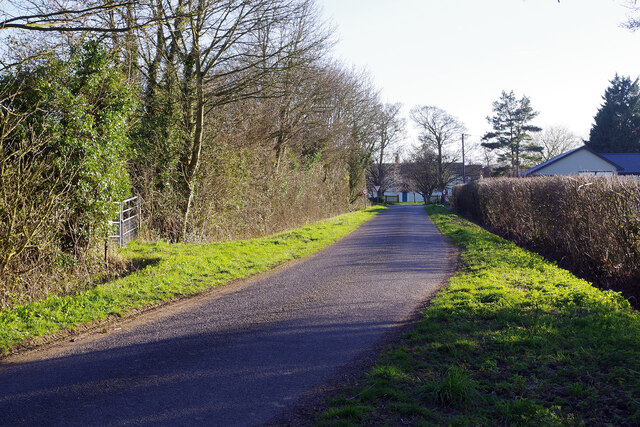
Visitors to Bryers Wood can explore its well-maintained network of footpaths and trails, which wind through the forest, offering stunning views and opportunities to spot wildlife. The wood is a popular destination for walking, jogging, and dog walking, providing a peaceful and serene environment for outdoor activities.
The management of Bryers Wood is overseen by the local Woodland Trust, ensuring the preservation and conservation of the forest for future generations. The trust works to maintain the woodland's natural ecosystems, protect its biodiversity, and promote environmental education.
Overall, Bryers Wood is a magnificent natural treasure in Suffolk, offering visitors a chance to reconnect with nature and enjoy the beauty of a well-preserved woodland.
If you have any feedback on the listing, please let us know in the comments section below.
Bryers Wood Images
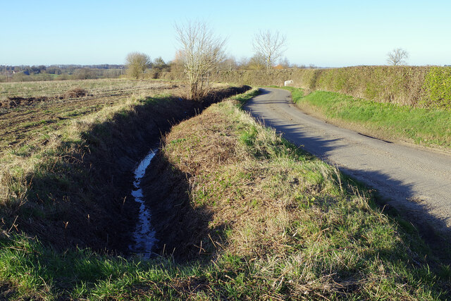
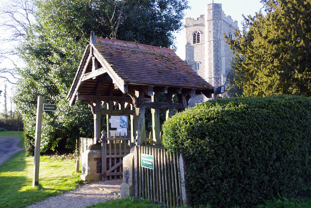
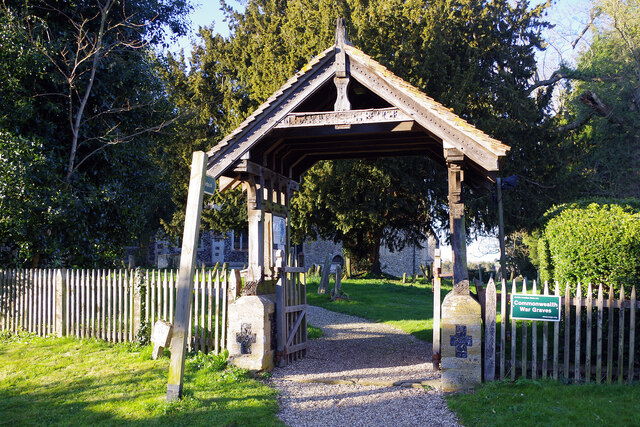
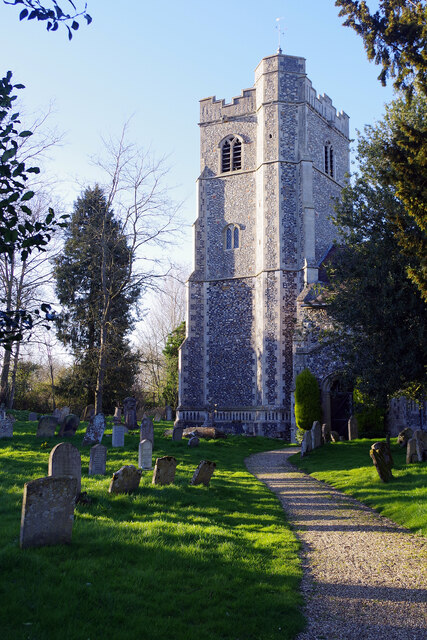
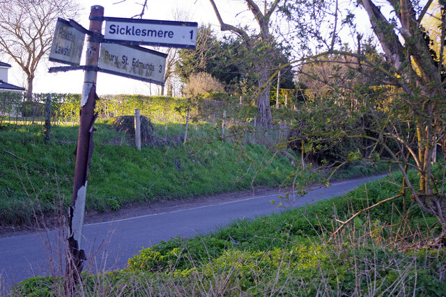
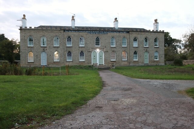
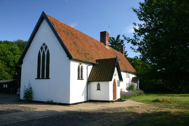
Images are sourced within 2km of 52.191318/0.71318859 or Grid Reference TL8558. Thanks to Geograph Open Source API. All images are credited.


Bryers Wood is located at Grid Ref: TL8558 (Lat: 52.191318, Lng: 0.71318859)
Administrative County: Suffolk
District: West Suffolk
Police Authority: Suffolk
What 3 Words
///adjust.declining.musically. Near Bury St Edmunds, Suffolk
Nearby Locations
Related Wikis

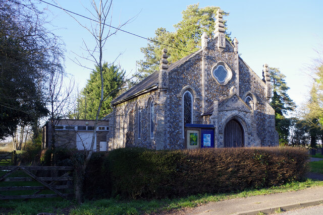
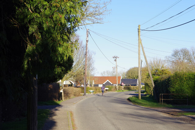
Hawstead
Hawstead is a small village and civil parish in the West Suffolk district of Suffolk in eastern England. It is located 5 kilometres (3 mi) south of Bury...

Mickley Green
Mickley Green is a hamlet in Suffolk, United Kingdom to the east of the village of Whepstead on the road to Melon Green.

Whepstead
Whepstead is a village and civil parish in the West Suffolk district of Suffolk in eastern England, located south of Bury St Edmunds. Once the property...
Coldham Cottage
The Church of Our Lady Immaculate and St Joseph, otherwise known as Coldham Cottage is the oldest continuing Roman Catholic church in Suffolk. It is in...
Nearby Amenities
Located within 500m of 52.191318,0.71318859Have you been to Bryers Wood?
Leave your review of Bryers Wood below (or comments, questions and feedback).