Cooper's Covert

Wood, Forest in Suffolk West Suffolk

England

Cooper's Covert

Dark Sky Dark sky in the distance near to Wordwell, Suffolk.
Dark Sky Credit: Keith Evans

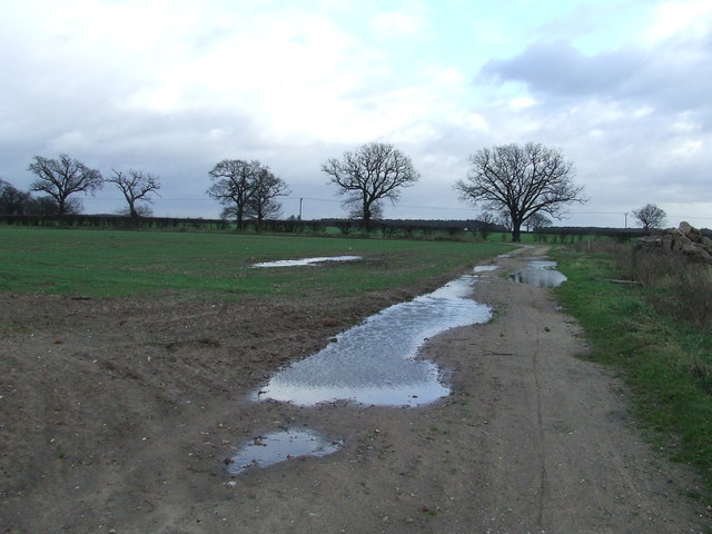
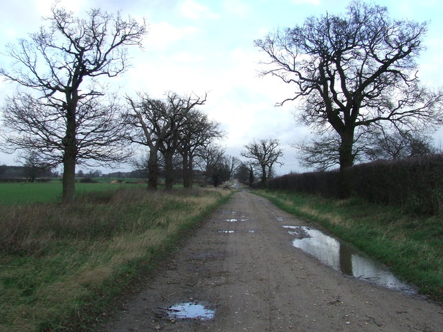
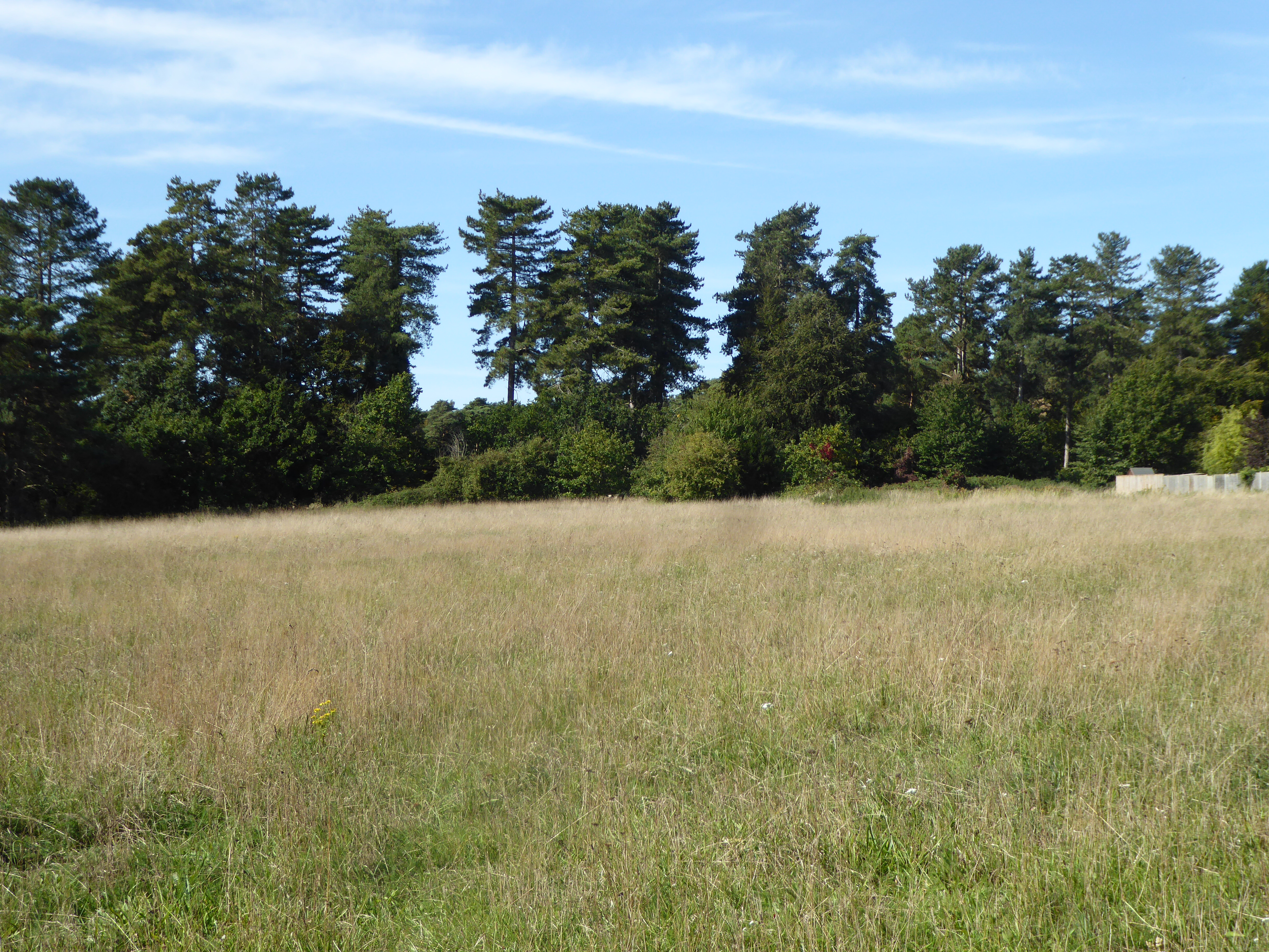
Cooper's Covert is a wooded area located in Suffolk, England. It is situated in the heart of the county, surrounded by picturesque countryside and rolling hills. The covert covers a vast expanse of land, spanning several acres, and is primarily composed of dense woodland, giving it a distinct forest-like appearance.

The woodland is home to a diverse range of flora and fauna, making it a haven for nature enthusiasts and wildlife lovers. The trees within the covert include a mixture of deciduous and evergreen species, such as oak, beech, ash, and pine, creating a rich tapestry of colors throughout the year. Bluebells, wild garlic, and various ferns can also be found carpeting the forest floor during the spring and summer months.

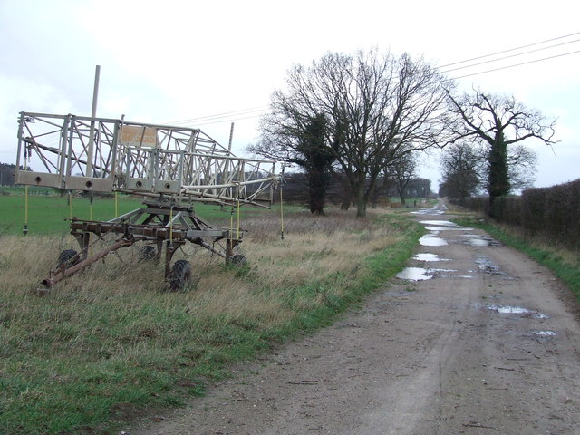
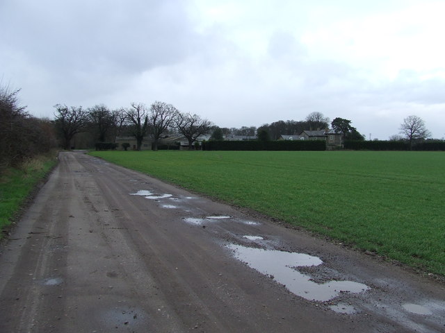
The covert is crisscrossed by a network of well-maintained walking trails, allowing visitors to explore its natural beauty at their own pace. These trails offer opportunities for peaceful walks, jogging, and birdwatching. The area is known for its abundant birdlife, with species such as woodpeckers, tawny owls, and song thrushes commonly spotted among the trees.

Cooper's Covert is managed by a local conservation group, who work tirelessly to protect and preserve the natural habitat. They organize regular events and educational programs to raise awareness about the importance of woodland conservation and encourage public engagement.

Overall, Cooper's Covert in Suffolk is a stunning woodland area that offers visitors a tranquil escape from the hustle and bustle of everyday life. Its picturesque surroundings, diverse wildlife, and well-maintained trails make it a popular destination for nature lovers and outdoor enthusiasts.

If you have any feedback on the listing, please let us know in the comments section below.

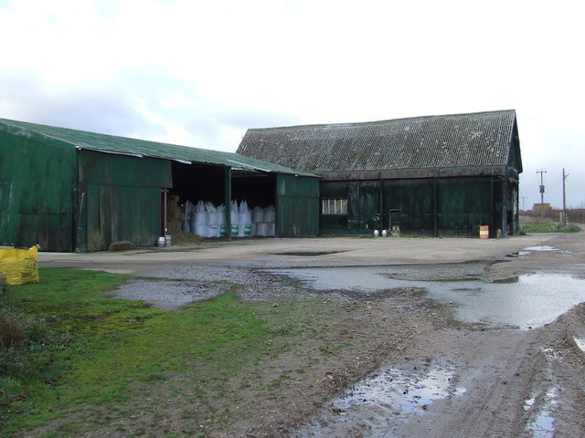
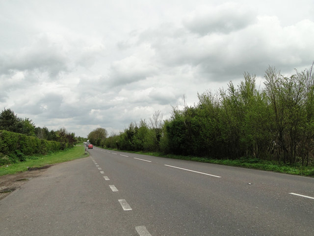
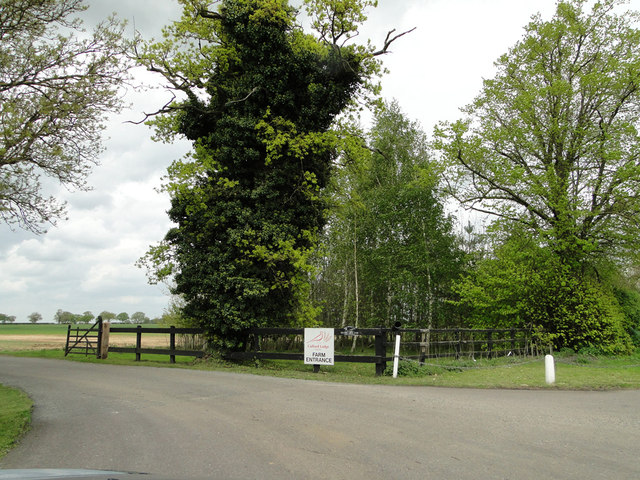
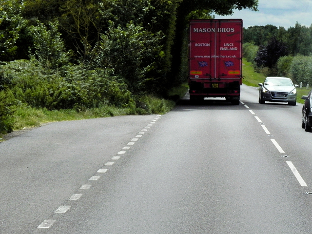
Cooper's Covert Images

Images are sourced within 2km of 52.330411/0.72055115 or Grid Reference TL8573. Thanks to Geograph Open Source API. All images are credited.

Dark Sky Dark sky in the distance near to Wordwell, Suffolk.
Dark Sky
Dark sky in the distance near to Wordwell, Suffolk.
Footpath Footpath looking east near to Wordwell, Suffolk.
Footpath
Footpath looking east near to Wordwell, Suffolk.
Coopers Drift Looking north along a farm track marked on the map as Coopers Drift near to Ampton, Suffolk.
Coopers Drift
Looking north along a farm track marked on the map as Coopers Drift near to Ampton, Suffolk.
Farm Machinery Farm machinery at the side of Coopers Drift near to Ampton, Suffolk.
Farm Machinery
Farm machinery at the side of Coopers Drift near to Ampton, Suffolk.
Neville House Farm Distant view of Neville House Farm near to Ampton, Suffolk.
Neville House Farm
Distant view of Neville House Farm near to Ampton, Suffolk.
Muddy Track Track looking south near to Ampton, Suffolk.
Muddy Track
Track looking south near to Ampton, Suffolk.
Bodney Farm Old farm buildings at Bodney Farm near to Ampton, Suffolk.
Bodney Farm
Old farm buildings at Bodney Farm near to Ampton, Suffolk.
Farmland towards Seven Hills
The track to Bodney Farm from the A134
A quiet moment on the A134
A layby on the A134
A layby on the A134
The entrance to Culford Lodge Farms from the A134
Layby on the Southbound A134 The A134 road runs for 71 miles between Colchester, in Essex, and Tottenhill, a few miles to the south of King's Lynn, in Norfolk. Other towns on the A134 road include Sudbury, Bury St. Edmunds and Thetford. 

The A134 used to be the main route for commercial traffic from the North to the port of Felixstowe; however since the construction of the A14 very little commercial traffic uses it.

More detailed information at <span class="nowrap"><a title="http://www.sabre-roads.org.uk/wiki/index.php?title=A134" rel="nofollow ugc noopener" href="http://www.sabre-roads.org.uk/wiki/index.php?title=A134">Link</a><img style="margin-left:2px;" alt="External link" title="External link - shift click to open in new window" src="https://s1.geograph.org.uk/img/external.png" width="10" height="10"/></span>  SABRE Wiki
Layby on the Southbound A134
The A134 road runs for 71 miles between Colchester, in Essex, and Tottenhill, a few miles to the south of King's Lynn, in Norfolk. Other towns on the A134 road include Sudbury, Bury St. Edmunds and Thetford. The A134 used to be the main route for commercial traffic from the North to the port of Felixstowe; however since the construction of the A14 very little commercial traffic uses it. More detailed information at LinkExternal link SABRE Wiki
A134 Northbound The A134 road runs for 71 miles between Colchester, in Essex, and Tottenhill, a few miles to the south of King's Lynn, in Norfolk. Other towns on the A134 road include Sudbury, Bury St. Edmunds and Thetford. 

The A134 used to be the main route for commercial traffic from the North to the port of Felixstowe; however since the construction of the A14 very little commercial traffic uses it.

More detailed information at <span class="nowrap"><a title="http://www.sabre-roads.org.uk/wiki/index.php?title=A134" rel="nofollow ugc noopener" href="http://www.sabre-roads.org.uk/wiki/index.php?title=A134">Link</a><img style="margin-left:2px;" alt="External link" title="External link - shift click to open in new window" src="https://s1.geograph.org.uk/img/external.png" width="10" height="10"/></span>  SABRE Wiki
A134 Northbound
The A134 road runs for 71 miles between Colchester, in Essex, and Tottenhill, a few miles to the south of King's Lynn, in Norfolk. Other towns on the A134 road include Sudbury, Bury St. Edmunds and Thetford. The A134 used to be the main route for commercial traffic from the North to the port of Felixstowe; however since the construction of the A14 very little commercial traffic uses it. More detailed information at LinkExternal link SABRE Wiki
Southbound A134, Sevenhills Cottages The A134 road runs for 71 miles between Colchester, in Essex, and Tottenhill, a few miles to the south of King's Lynn, in Norfolk. Other towns on the A134 road include Sudbury, Bury St. Edmunds and Thetford. 

The A134 used to be the main route for commercial traffic from the North to the port of Felixstowe; however since the construction of the A14 very little commercial traffic uses it.

More detailed information at <span class="nowrap"><a title="http://www.sabre-roads.org.uk/wiki/index.php?title=A134" rel="nofollow ugc noopener" href="http://www.sabre-roads.org.uk/wiki/index.php?title=A134">Link</a><img style="margin-left:2px;" alt="External link" title="External link - shift click to open in new window" src="https://s1.geograph.org.uk/img/external.png" width="10" height="10"/></span>  SABRE Wiki
Southbound A134, Sevenhills Cottages
The A134 road runs for 71 miles between Colchester, in Essex, and Tottenhill, a few miles to the south of King's Lynn, in Norfolk. Other towns on the A134 road include Sudbury, Bury St. Edmunds and Thetford. The A134 used to be the main route for commercial traffic from the North to the port of Felixstowe; however since the construction of the A14 very little commercial traffic uses it. More detailed information at LinkExternal link SABRE Wiki
Northbound A134 The A134 road runs for 71 miles between Colchester, in Essex, and Tottenhill, a few miles to the south of King's Lynn, in Norfolk. Other towns on the A134 road include Sudbury, Bury St. Edmunds and Thetford. 

The A134 used to be the main route for commercial traffic from the North to the port of Felixstowe; however since the construction of the A14 very little commercial traffic uses it.

More detailed information at <span class="nowrap"><a title="http://www.sabre-roads.org.uk/wiki/index.php?title=A134" rel="nofollow ugc noopener" href="http://www.sabre-roads.org.uk/wiki/index.php?title=A134">Link</a><img style="margin-left:2px;" alt="External link" title="External link - shift click to open in new window" src="https://s1.geograph.org.uk/img/external.png" width="10" height="10"/></span>  SABRE Wiki
Northbound A134
The A134 road runs for 71 miles between Colchester, in Essex, and Tottenhill, a few miles to the south of King's Lynn, in Norfolk. Other towns on the A134 road include Sudbury, Bury St. Edmunds and Thetford. The A134 used to be the main route for commercial traffic from the North to the port of Felixstowe; however since the construction of the A14 very little commercial traffic uses it. More detailed information at LinkExternal link SABRE Wiki
Drain beside the A134 The A134 road runs for 71 miles between Colchester, in Essex, and Tottenhill, a few miles to the south of King's Lynn, in Norfolk. Other towns on the A134 road include Sudbury, Bury St. Edmunds and Thetford. 

The A134 used to be the main route for commercial traffic from the North to the port of Felixstowe; however since the construction of the A14 very little commercial traffic uses it.

More detailed information at <span class="nowrap"><a title="http://www.sabre-roads.org.uk/wiki/index.php?title=A134" rel="nofollow ugc noopener" href="http://www.sabre-roads.org.uk/wiki/index.php?title=A134">Link</a><img style="margin-left:2px;" alt="External link" title="External link - shift click to open in new window" src="https://s1.geograph.org.uk/img/external.png" width="10" height="10"/></span>  SABRE Wiki
Drain beside the A134
The A134 road runs for 71 miles between Colchester, in Essex, and Tottenhill, a few miles to the south of King's Lynn, in Norfolk. Other towns on the A134 road include Sudbury, Bury St. Edmunds and Thetford. The A134 used to be the main route for commercial traffic from the North to the port of Felixstowe; however since the construction of the A14 very little commercial traffic uses it. More detailed information at LinkExternal link SABRE Wiki
Fields off the A134 The A134 road runs for 71 miles between Colchester, in Essex, and Tottenhill, a few miles to the south of King's Lynn, in Norfolk. Other towns on the A134 road include Sudbury, Bury St. Edmunds and Thetford. 

The A134 used to be the main route for commercial traffic from the North to the port of Felixstowe; however since the construction of the A14 very little commercial traffic uses it.

More detailed information at <span class="nowrap"><a title="http://www.sabre-roads.org.uk/wiki/index.php?title=A134" rel="nofollow ugc noopener" href="http://www.sabre-roads.org.uk/wiki/index.php?title=A134">Link</a><img style="margin-left:2px;" alt="External link" title="External link - shift click to open in new window" src="https://s1.geograph.org.uk/img/external.png" width="10" height="10"/></span>  SABRE Wiki
Fields off the A134
The A134 road runs for 71 miles between Colchester, in Essex, and Tottenhill, a few miles to the south of King's Lynn, in Norfolk. Other towns on the A134 road include Sudbury, Bury St. Edmunds and Thetford. The A134 used to be the main route for commercial traffic from the North to the port of Felixstowe; however since the construction of the A14 very little commercial traffic uses it. More detailed information at LinkExternal link SABRE Wiki
Show me another place!

Cooper's Covert is located at Grid Ref: TL8573 (Lat: 52.330411, Lng: 0.72055115)

Administrative County: Suffolk

District: West Suffolk

Police Authority: Suffolk

What 3 Words

///spark.wimp.princes. Near Great Barton, Suffolk

Nearby Locations

Cooper's Covert

Related Wikis

Seven Hills Halt railway station

Seven Hills Halt railway station was a railway station in Suffolk, England on the branch line between Thetford and Bury St Edmunds. It was closed in 1953...

Elm Road Field, Thetford

Elm Road Field, Thetford is a 5-hectare (12-acre) biological Site of Special Scientific Interest on the southern outskirts of Thetford in Norfolk.This...

Little Livermere

Little Livermere is a village and civil parish in England situated about 5 miles (8 km) north of Bury St Edmunds, in an area of Suffolk known as the Breckland...

Ingham railway station

Ingham railway station was a railway station in Ingham, Suffolk which was located was on the route between Thetford and Bury St Edmunds. == History... ==

Related Videos

Ross & Jessica Wedding Highlights Hall Farm Bury St Edmonds Suffolk

Ross & Jessica Wedding Highlights Hall Farm Suffolk Smoke bombs and champagne was in the air, for the in love couple who ...

Nearby Amenities

Located within 500m of 52.330411,0.72055115
Nevillehouse Farm
Place: farm
Source: NPE
Lat/Long: 52.3288103/0.7207191
Power: pole
Lat/Long: 52.3274314/0.7151184
Power: pole
Lat/Long: 52.3283635/0.7151908
Power: pole
Lat/Long: 52.3294225/0.7152729
Power: pole
Lat/Long: 52.3304234/0.7153807
Power: pole
Lat/Long: 52.331438/0.7157958
Power: pole
Lat/Long: 52.3324448/0.7162012
Power: pole
Lat/Long: 52.3334771/0.7166163
The data included in this document is from www.openstreetmap.org. The data is made available under ODbL.

Have you been to Cooper's Covert?

Leave your review of Cooper's Covert below (or comments, questions and feedback).