Barnhill Shaw
Wood, Forest in Sussex Rother
England
Barnhill Shaw

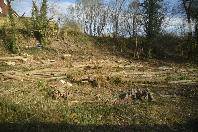
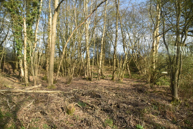
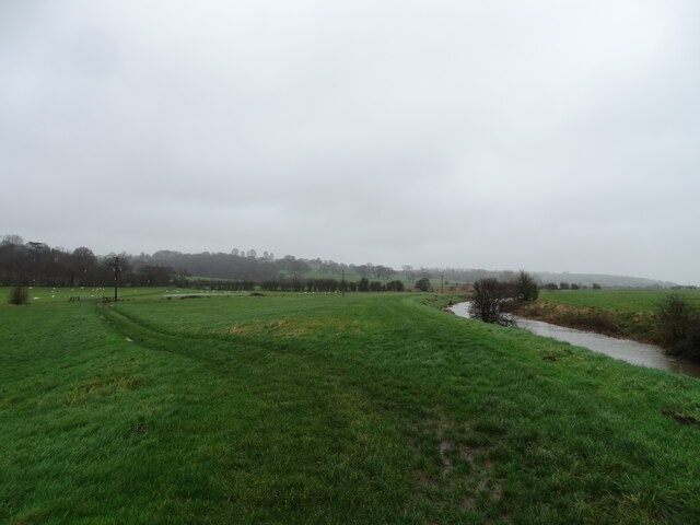
Barnhill Shaw is a picturesque woodland located in Sussex, England. Nestled in the heart of the countryside, this enchanting forest covers a vast area and is known for its natural beauty and diverse ecosystem. The woodland is predominantly made up of ancient oak and beech trees, creating a dense canopy that provides a serene and tranquil atmosphere.
The forest is home to a wide variety of wildlife, including deer, foxes, and numerous bird species. It is a popular destination for nature enthusiasts, hikers, and birdwatchers who come to explore the winding trails and admire the stunning flora and fauna. The woodland floor is adorned with vibrant wildflowers and moss-covered rocks, adding to the area's enchanting charm.
Barnhill Shaw is also rich in history, with evidence of human habitation dating back thousands of years. Archaeological sites, such as ancient burial mounds and remnants of Iron Age settlements, can be found within the forest. These historical landmarks provide a fascinating insight into the area's past and offer visitors a chance to step back in time.
The woodland is managed by local conservation organizations to preserve its natural beauty and protect its delicate ecosystem. Regular maintenance and preservation efforts ensure the forest remains a haven for wildlife and a cherished natural resource for generations to come.
Barnhill Shaw truly encapsulates the beauty of the Sussex countryside, offering visitors a captivating escape from the hustle and bustle of everyday life. With its stunning landscapes, diverse wildlife, and rich history, this woodland is a true gem of the region.
If you have any feedback on the listing, please let us know in the comments section below.
Barnhill Shaw Images
Images are sourced within 2km of 50.915769/0.63609631 or Grid Reference TQ8516. Thanks to Geograph Open Source API. All images are credited.


Barnhill Shaw is located at Grid Ref: TQ8516 (Lat: 50.915769, Lng: 0.63609631)
Administrative County: East Sussex
District: Rother
Police Authority: Sussex
What 3 Words
///unstated.drain.cried. Near Fairlight, East Sussex
Nearby Locations
Related Wikis
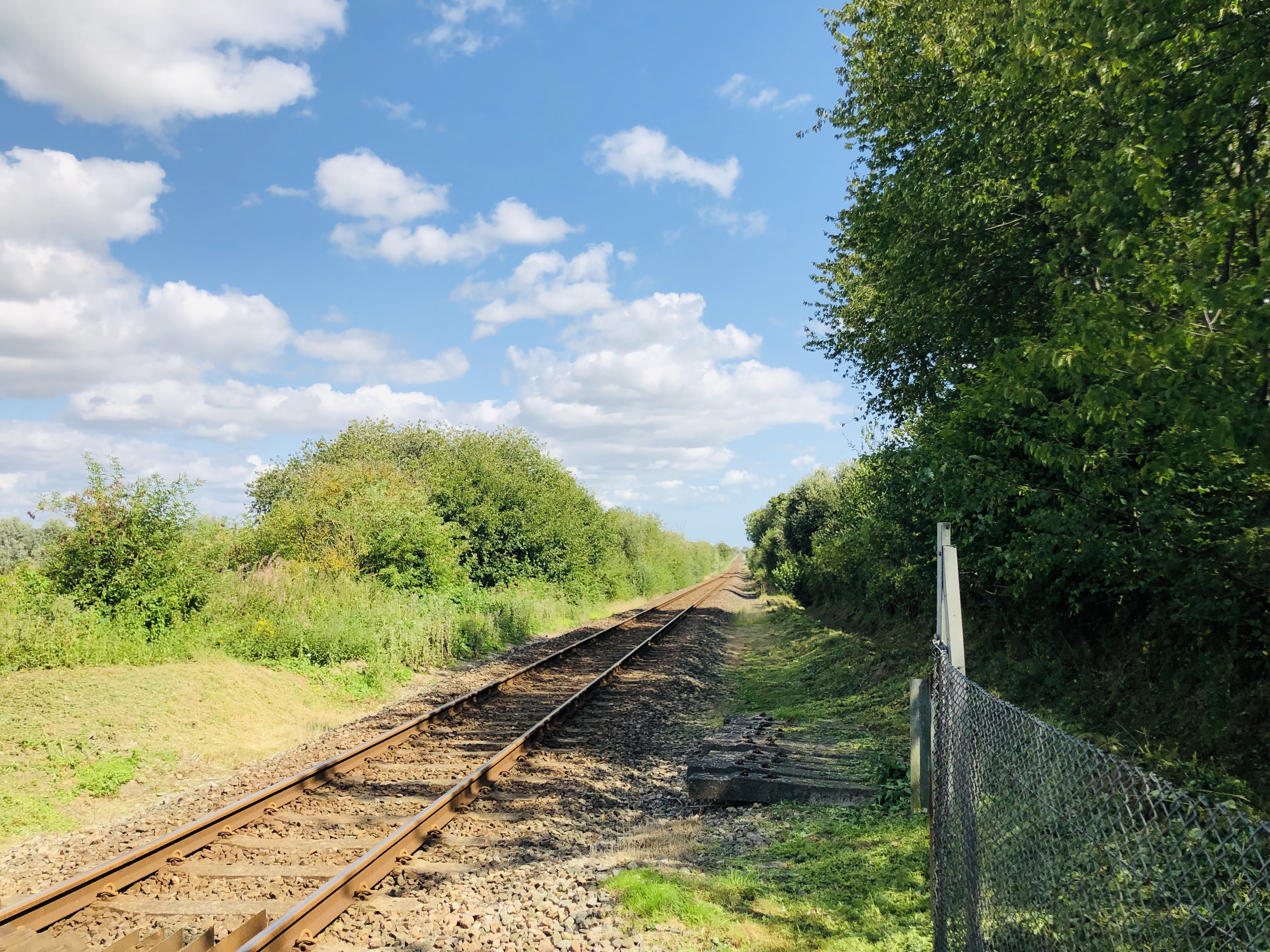
Snailham Halt railway station
Snailham Halt railway station was on the South Eastern Railway's route between Ashford and Hastings, nowadays known as the Marshlink Line. It opened in...

Buckswood School
Buckswood School is a private school for boys and girls that was founded in 1933. Originally the school was situated in Uckfield and known as Buckswood...

Hastings and Rye (UK Parliament constituency)
Hastings and Rye is a constituency in East Sussex represented in the House of Commons of the UK Parliament since 2019 by Sally-Ann Hart of the Conservative...

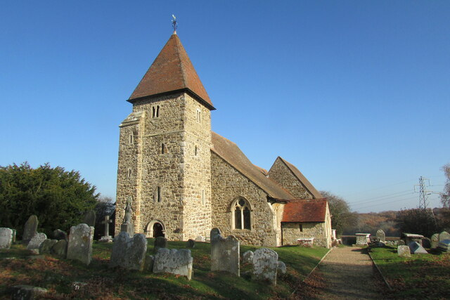
St Laurence's Church, Guestling
The Parish Church of St Laurence is a Church of England church and listed building in the village of Guestling in the Rother District of East Sussex. The...

Doleham railway station
Doleham railway station is a small, single-platform wayside halt in Doleham, East Sussex, England. It is on the Marshlink line, and train services are...
Doleham
Doleham is a small hamlet in East Sussex, England. The hamlet consists of only a handful of houses, and takes its name from Doleham Farm. The area is popular...

Three Oaks railway station
Three Oaks railway station serves the village of Three Oaks in East Sussex, England. It is on the Marshlink Line, and train services are provided by Southern...

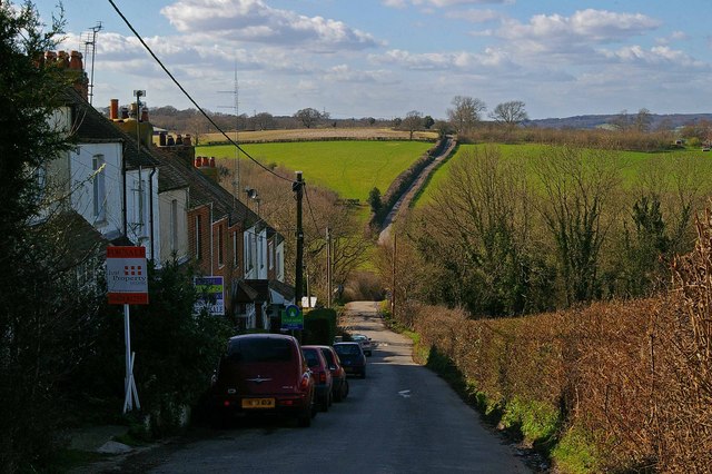
Icklesham
Icklesham is a village and civil parish in the Rother district of East Sussex, England. The village is located about six miles (10 km) east of Hastings...
Have you been to Barnhill Shaw?
Leave your review of Barnhill Shaw below (or comments, questions and feedback).