Admiral Wood
Wood, Forest in Kent Maidstone
England
Admiral Wood

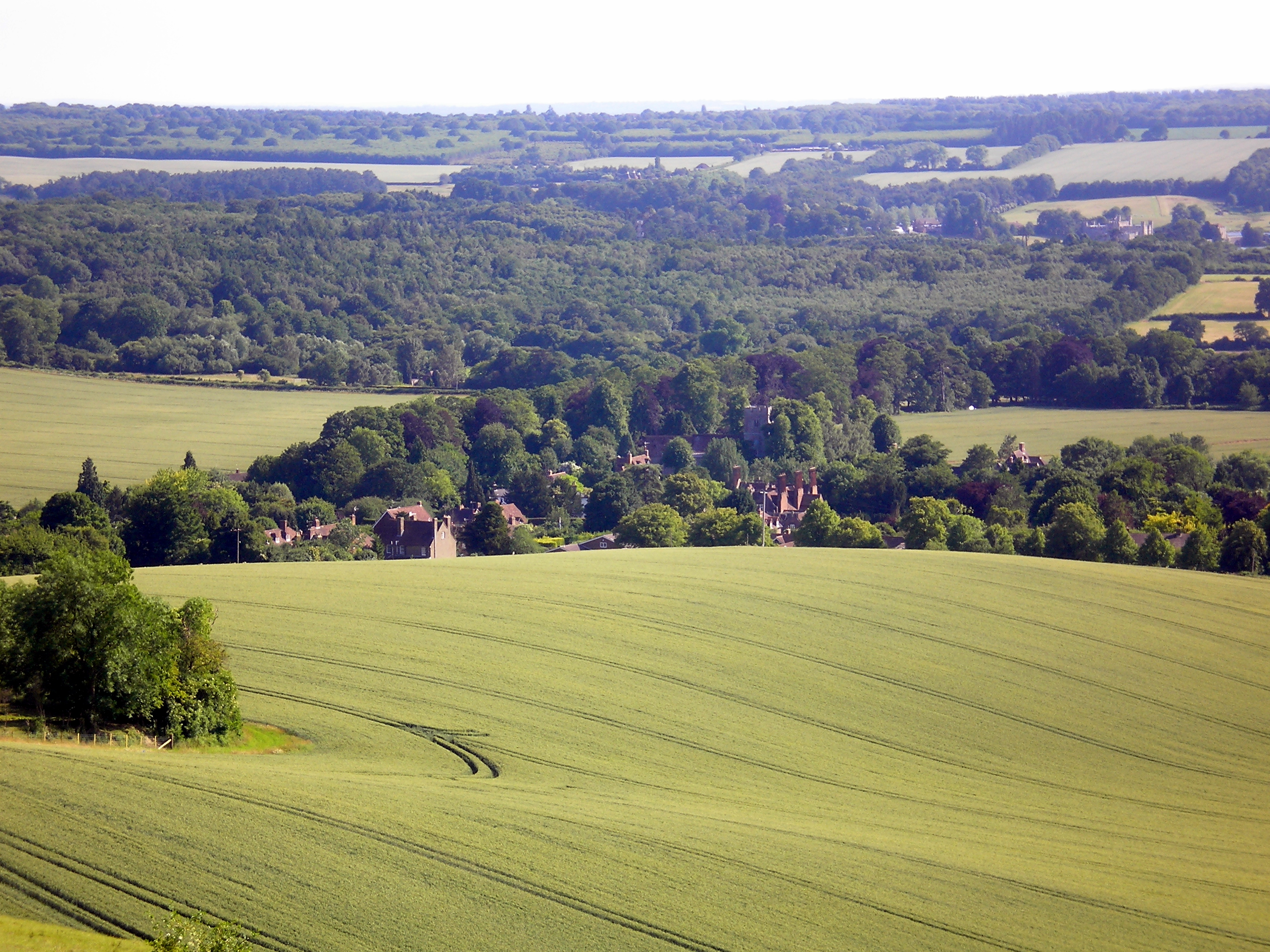
Admiral Wood, Kent, also known as Wood or Forest, is a small village located in the district of Tunbridge Wells, in the county of Kent, England. Situated in the southeast of the country, Kent is known as the "Garden of England" due to its picturesque landscapes and abundance of fruit orchards.
Admiral Wood is a charming and peaceful village with a population of around 500 residents. The village is nestled amidst the beautiful countryside of the High Weald Area of Outstanding Natural Beauty, offering stunning views and a tranquil environment. The nearby woodland areas are perfect for leisurely walks, hiking, and exploring nature.
Although small in size, Admiral Wood has a strong sense of community, with various social events and gatherings taking place throughout the year. The village boasts a traditional pub, The Admiral's Arms, providing a cozy spot for locals and visitors to relax and enjoy a drink or a meal.
For amenities and services, residents can easily access the nearby towns of Tunbridge Wells and Crowborough, which offer a wider range of shops, schools, healthcare facilities, and leisure activities. The village is well-connected to the surrounding areas by road, with the A26 running nearby, providing easy access to major cities like London and Brighton.
In conclusion, Admiral Wood, Kent is a delightful village that offers a peaceful and idyllic lifestyle in the heart of the English countryside. With its natural beauty, strong community spirit, and convenient location, it is a desirable place to live for those seeking a rural retreat while still having access to urban amenities.
If you have any feedback on the listing, please let us know in the comments section below.
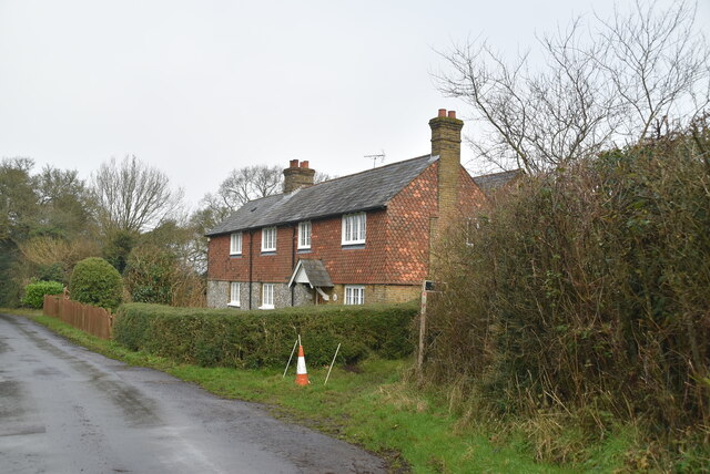
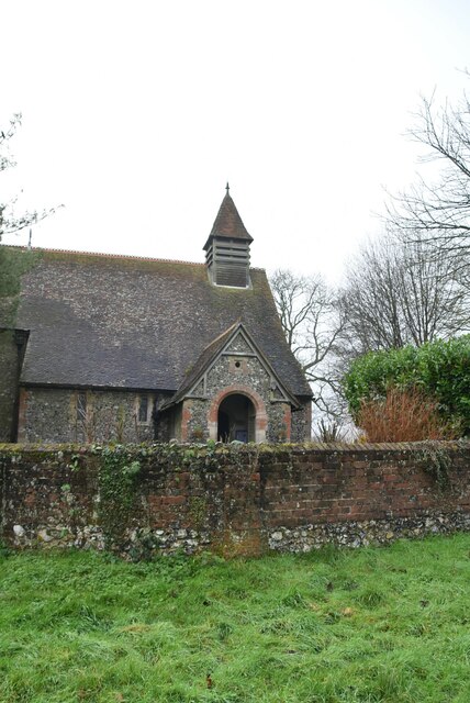
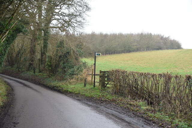
Admiral Wood Images
Images are sourced within 2km of 51.290319/0.65715376 or Grid Reference TQ8557. Thanks to Geograph Open Source API. All images are credited.


Admiral Wood is located at Grid Ref: TQ8557 (Lat: 51.290319, Lng: 0.65715376)
Administrative County: Kent
District: Maidstone
Police Authority: Kent
What 3 Words
///airstrip.familiar.teeth. Near Harrietsham, Kent
Nearby Locations
Related Wikis

Hucking
Hucking is a small hamlet and civil parish in the Maidstone District of Kent, England. It is located 4 miles (6.4 km) north-east of Maidstone and 5 miles...

Bicknor
Bicknor is a village and civil parish in the Maidstone district of Kent, England, north-east of Maidstone and south-west of Sittingbourne. It had a population...

Bedmonton
Bedmonton or Bedmanton is a hamlet situated about five miles (8 km) on a minor road between the B2163 road and Wormshill to the south of Sittingbourne...
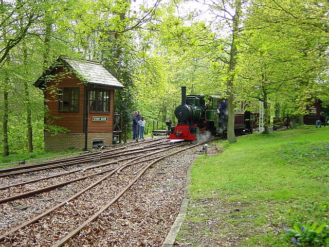
Bredgar and Wormshill Light Railway
The Bredgar and Wormshill Light Railway (BWLR) is located near the villages of Wormshill and Bredgar in Kent, just south of Sittingbourne. It is a 2 ft...

Hollingbourne Downs
Hollingbourne Downs is a 60.9-hectare (150-acre) biological Site of Special Scientific Interest east of Maidstone in Kent.This escarpment has unimproved...

Wormshill
Wormshill ( wurmz-HIL), historically Wormsell, is a small village and civil parish within the Borough of Maidstone, Kent, England. The parish is approximately...
Hollingbourne
Hollingbourne is a village and civil parish in the borough of Maidstone in Kent, England. The parish is located on the southward slope of the North Downs...
St Giles Church, Wormshill
St Giles Church is the sole church in the village of Wormshill in Kent. The church is Anglican and is dedicated to Saint Giles. It forms part of the united...
Related Videos

The Hollingbourne Circular Walk
The Hollingbourne Circular Walk sounds like a great way to experience the best of the North Downs. It's a challenging but ...

2 Day Neolithic trail - 12-13th July
A weekend of walking through the trail of our ancestors in the beautiful countryside of Kent. Bring your tent and walking boots, and ...

Hollingbourne, Kent: A Lost Henge and a Self Heating Hot Pot
For a change I headed to the North Downs, to the village of Hollingbourne, where in 2012 a forgotten henge was unearthed.

Walking in Hollingbourne, Kent 4k
Walking in Hollingbourne, Kent 4k Welcome! Virtual walking tour for tourists, travellers, solo travellers and natives and enjoy ...
Nearby Amenities
Located within 500m of 51.290319,0.65715376Have you been to Admiral Wood?
Leave your review of Admiral Wood below (or comments, questions and feedback).