Captain's Wood
Wood, Forest in Essex Maldon
England
Captain's Wood

Captain's Wood is a picturesque forest located in the county of Essex, England. Spanning over 200 acres, this woodland is a haven for nature enthusiasts and outdoor enthusiasts alike. The wood is situated near the village of Colchester, just a short distance from the town center.
The forest is characterized by an abundance of tall, mature trees, including oak, beech, and birch, creating a diverse and vibrant ecosystem. The woodland floor is covered in a carpet of lush green ferns, mosses, and wildflowers, adding to its natural beauty. The forest is also home to a variety of wildlife, including deer, foxes, badgers, and a wide array of bird species.
Visitors to Captain's Wood can enjoy a range of outdoor activities. The woodland is crisscrossed by several well-marked walking trails, offering visitors the opportunity to explore the forest's enchanting beauty. These trails vary in length and difficulty, catering to both leisurely strollers and more adventurous hikers. Additionally, there are designated areas for picnicking and camping, allowing visitors to immerse themselves fully in the tranquility of the forest.
The wood is managed by the local council and is open to the public throughout the year, free of charge. It serves as a popular recreational spot for locals and tourists, providing a peaceful retreat from the hustle and bustle of everyday life. Captain's Wood is not only a cherished natural gem in Essex but also a testament to the importance of preserving and appreciating the beauty of our woodlands.
If you have any feedback on the listing, please let us know in the comments section below.
Captain's Wood Images
Images are sourced within 2km of 51.764942/0.684305 or Grid Reference TL8510. Thanks to Geograph Open Source API. All images are credited.


Captain's Wood is located at Grid Ref: TL8510 (Lat: 51.764942, Lng: 0.684305)
Administrative County: Essex
District: Maldon
Police Authority: Essex
What 3 Words
///slant.beaks.slot. Near Wickham Bishops, Essex
Nearby Locations
Related Wikis
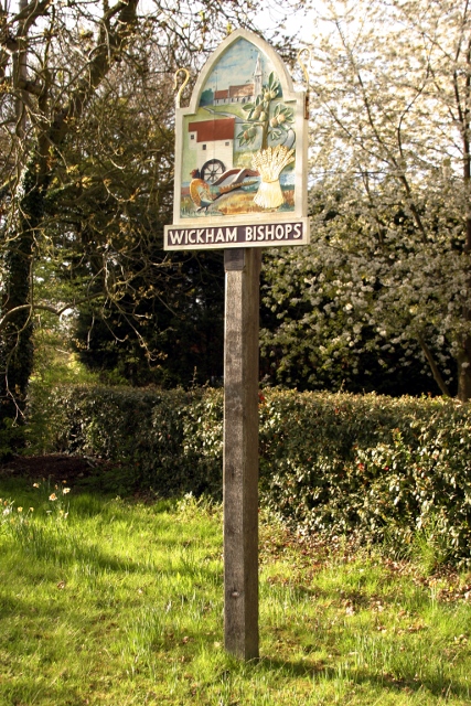
Wickham Bishops
Wickham Bishops is a village and civil parish in the Maldon district of Essex, England. It is located around three miles north of the town of Maldon and...
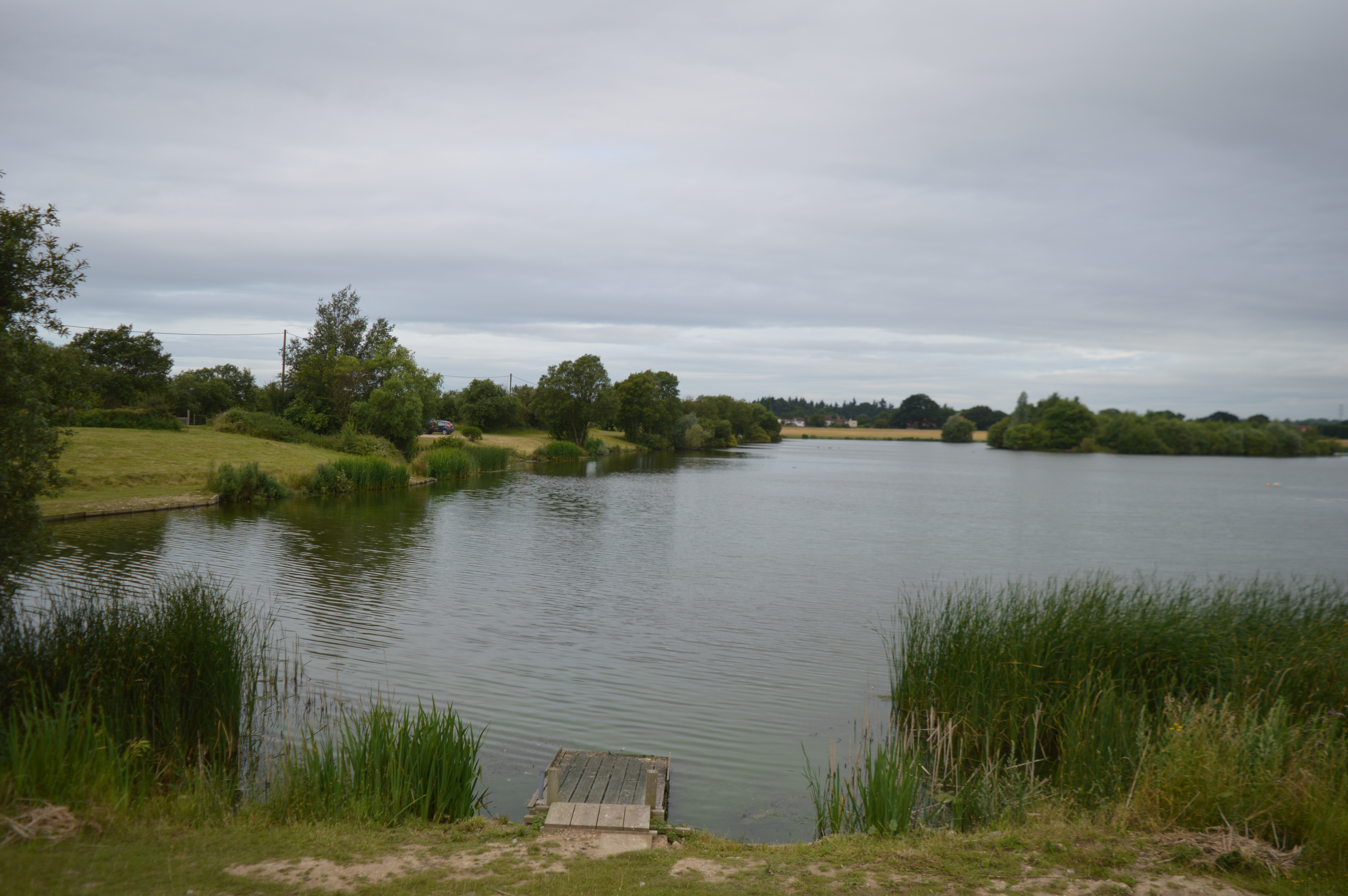
Lofts Farm Pit
Lofts Farm Pit is a 4.5-hectare (11-acre) geological Site of Special Scientific Interest in Heybridge, a suburb of Maldon in Essex. It is a Geological...
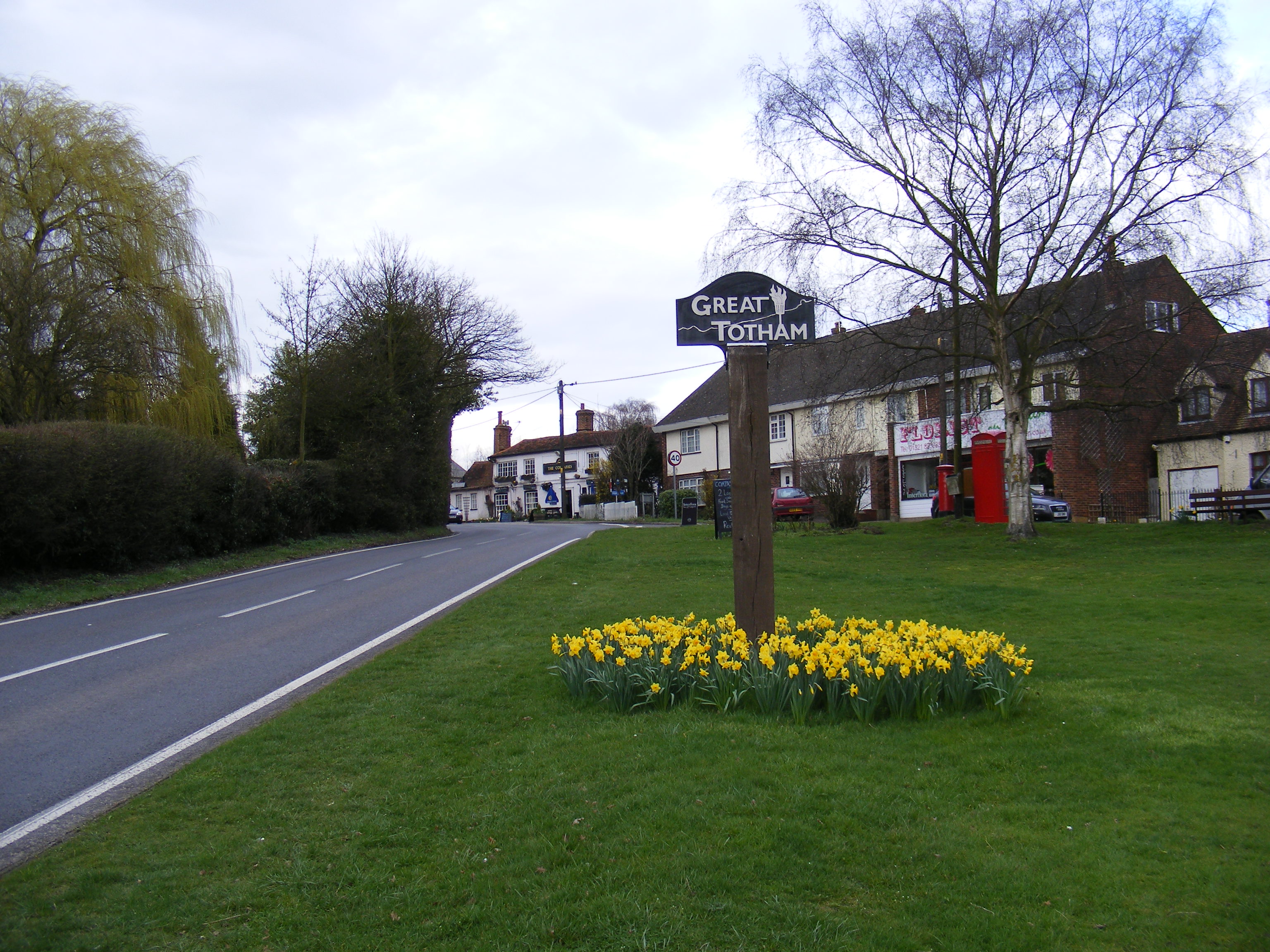
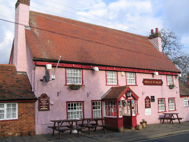
Great Totham
Great Totham is a village and civil parish in Maldon district, Essex, England, and midway between Chelmsford and Colchester. The village includes the Island...

River Blackwater, Essex
The River Blackwater is a river in Essex, England. It rises as the River Pant in the northwest of the county, just east of Saffron Walden, and flows in...
Related Videos


Museum of Power, Langford. It was shut but had a tour of the miniature railway
A re edit. Took the more private buildings out. 2 weeks behind the other holiday videos. A playlist, linked below. A little tour of the ...

Twisty road to Power museum
Ride out to the Power museum.
Nearby Amenities
Located within 500m of 51.764942,0.684305Have you been to Captain's Wood?
Leave your review of Captain's Wood below (or comments, questions and feedback).