Brereton's Covert

Wood, Forest in Norfolk Breckland

England

Brereton's Covert

Tractor on the A1065 at Weasenham All Saints Farming is one of the major industries in Norfolk, with more than 20% of employment in the county being in the agricultural and food industries <span class="nowrap"><a title="http://www.locatenorfolk.com/" rel="nofollow ugc noopener" href="http://www.locatenorfolk.com/">Link</a><img style="margin-left:2px;" alt="External link" title="External link - shift click to open in new window" src="https://s1.geograph.org.uk/img/external.png" width="10" height="10"/></span> . Tractors, such as this one which towing a Grimme KS5400 harvester along the A1065, are a common sight on the county's roads.
Tractor on the A1065 at Weasenham All Saints Credit: David Dixon

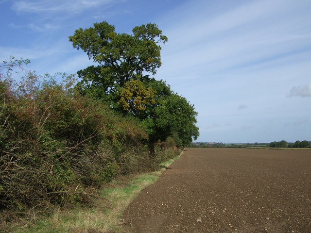
Brereton's Covert is a picturesque woodland located in Norfolk, England. This enchanting forest, also known as Brereton's Wood, covers an area of approximately 50 hectares and is renowned for its natural beauty and rich biodiversity.

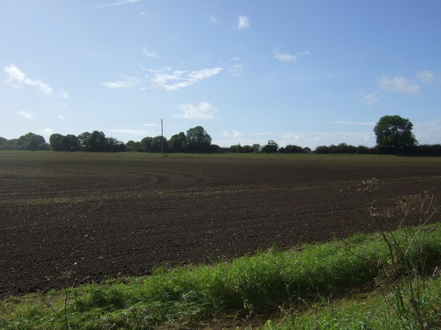
The woodland is characterized by its dense canopy of mature trees, predominantly oak and beech, which provide a haven for a variety of wildlife species. The forest floor is adorned with a carpet of wildflowers, creating a vibrant and colorful display during the spring and summer months. Brereton's Covert is also home to a diverse range of fauna, including deer, foxes, badgers, and a myriad of bird species, making it a popular destination for nature enthusiasts and wildlife photographers.

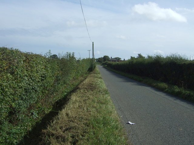
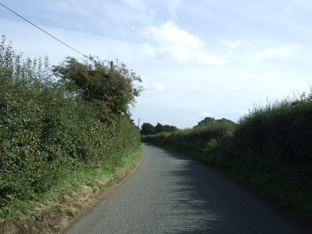
The woodland offers a network of well-maintained footpaths and trails, allowing visitors to explore its lush surroundings at their own pace. The peaceful ambience and tranquil atmosphere make it an ideal spot for walking, jogging, or simply immersing oneself in nature. Additionally, Brereton's Covert has several designated picnic areas, providing visitors with the opportunity to enjoy a leisurely lunch amidst the serene surroundings.

The forest is managed by local conservation organizations, ensuring the preservation of its natural habitat and the protection of its unique ecosystem. Educational programs and guided nature walks are also organized to raise awareness about the importance of biodiversity conservation.

Brereton's Covert truly offers a glimpse into the beauty and tranquility of Norfolk's woodlands, providing a serene escape from the bustling city life and a sanctuary for wildlife to thrive.

If you have any feedback on the listing, please let us know in the comments section below.

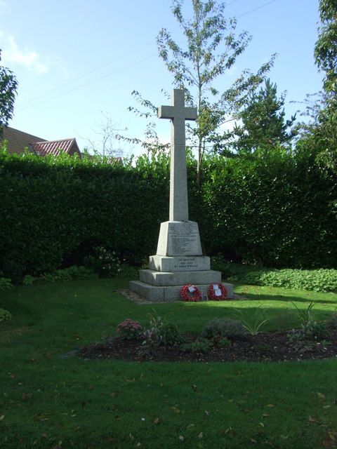
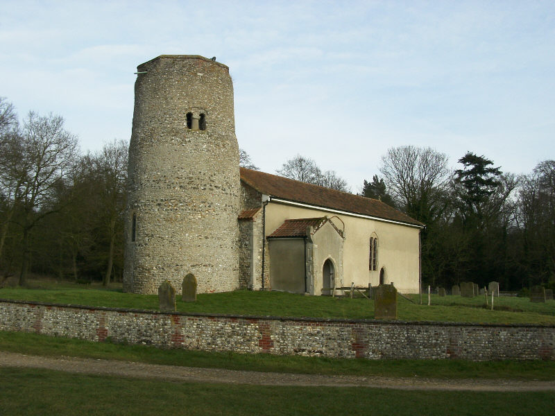
Brereton's Covert Images

Images are sourced within 2km of 52.74993/0.74200212 or Grid Reference TF8520. Thanks to Geograph Open Source API. All images are credited.

Tractor on the A1065 at Weasenham All Saints Farming is one of the major industries in Norfolk, with more than 20% of employment in the county being in the agricultural and food industries <span class="nowrap"><a title="http://www.locatenorfolk.com/" rel="nofollow ugc noopener" href="http://www.locatenorfolk.com/">Link</a><img style="margin-left:2px;" alt="External link" title="External link - shift click to open in new window" src="https://s1.geograph.org.uk/img/external.png" width="10" height="10"/></span> . Tractors, such as this one which towing a Grimme KS5400 harvester along the A1065, are a common sight on the county's roads.
Tractor on the A1065 at Weasenham All Saints
Farming is one of the major industries in Norfolk, with more than 20% of employment in the county being in the agricultural and food industries LinkExternal link . Tractors, such as this one which towing a Grimme KS5400 harvester along the A1065, are a common sight on the county's roads.
Northbound A1065, Weasenham St Peter The A1065 is an important route through the centre of Norfolk. It starts on the infamous Five Ways roundabout at Barton Mills, leaving the A11, and heads up through countryside for nearly 40 miles, crossing the A47 at Swaffham en route, until it ends on the A148 just outside Fakenham.
Northbound A1065, Weasenham St Peter
The A1065 is an important route through the centre of Norfolk. It starts on the infamous Five Ways roundabout at Barton Mills, leaving the A11, and heads up through countryside for nearly 40 miles, crossing the A47 at Swaffham en route, until it ends on the A148 just outside Fakenham.
Field and hedgerow near Tythe Farm
Field near Tythe Farm
Field and mature hedgerow near Tythe Farm North of Massingham Road.
Field and mature hedgerow near Tythe Farm
North of Massingham Road.
Field of Massingham Road
Massingham Road towards Weasenham St Peter Looking east.
Massingham Road towards Weasenham St Peter
Looking east.
Field, Weasenham Off Massingham Road.
Field, Weasenham
Off Massingham Road.
Massingham Road, Weasenham St Peter Looking east.
Massingham Road, Weasenham St Peter
Looking east.
Cottages, Weasenham St Peter
War memorial in Weasenham St Peter
Houses on School Road, Weasenham St Peter
A1065 towards Swaffham Looking south east.
A1065 towards Swaffham
Looking south east.
The Fox & Hounds, Weasenham St Peter
Sign for the Fox & Hounds, Weasenham St Peter
St Peter's Church, Weasenham St. Peter
Elizabeth II postbox and War Memorial, Weasenham On School Road.
Postbox No. PE32 157.

See <a href="https://www.geograph.org.uk/photo/5579717">TF8522 : School Road, Weasenham</a> for context.
Elizabeth II postbox and War Memorial, Weasenham
On School Road. Postbox No. PE32 157. See TF8522 : School Road, Weasenham for context.
School Road, Weasenham Junction with Massingham Road.
Showing position of Postbox No. PE32 157.

See <a href="https://www.geograph.org.uk/photo/5579716">TF8522 : Elizabeth II postbox and War Memorial, Weasenham</a> for postbox.
School Road, Weasenham
Junction with Massingham Road. Showing position of Postbox No. PE32 157. See TF8522 : Elizabeth II postbox and War Memorial, Weasenham for postbox.
Show me another place!

Brereton's Covert is located at Grid Ref: TF8520 (Lat: 52.74993, Lng: 0.74200212)

Administrative County: Norfolk

District: Breckland

Police Authority: Norfolk

What 3 Words

///flopped.reshaping.leaps. Near Necton, Norfolk

Related Wikis

Weasenham All Saints

Weasenham All Saints is a civil parish in the English county of Norfolk. It covers an area of 8.16 km2 (3.15 sq mi) and had a population of 178 in 76 households...

Weasenham St Peter

Weasenham St Peter is a village and civil parish in the English county of Norfolk. It covers an area of 5.79 km2 (2.24 sq mi) and had a population of 166...

Rougham, Norfolk

Rougham is a village and civil parish in the English county of Norfolk. It covers an area of 10.85 km2 (4.19 sq mi) and had a population of 152 in 69 households...

Lexham

Lexham is a parish consisting of the twin villages of East Lexham and West Lexham situated in the Breckland District of Norfolk and covers an area of 9...

Wellingham

Wellingham is a village and civil parish in the English county of Norfolk. It covers an area of 4.39 km2 (1.69 sq mi) and had a population of 55 in 27...

West Lexham

West Lexham is a village and former civil parish, now in the parish of Lexham, in the Breckland district, in the county of Norfolk, England. It is 5.9...

East Lexham

East Lexham is a village and former civil parish, now in the parish of Lexham, in the Breckland district, in the English county of Norfolk. It is 7.7 miles...

Tittleshall

Tittleshall is a village and civil parish in the English county of Norfolk. == Location == The village and parish of Tittleshall has an area of 1376 hectares...

Related Videos

Just another day with the West Norfolk Fox Hounds // West Norfolk Fox Hounds, 18/12/2021

A day out with the West Norfolk Fox Hounds is always full of fun and surprises - such as Tory councillor Bill Borrett hitting his horse ...

Nearby Amenities

Located within 500m of 52.74993,0.74200212
Milestone
Material: metal
Lat/Long: 52.748079/0.7405192
The data included in this document is from www.openstreetmap.org. The data is made available under ODbL.

Have you been to Brereton's Covert?

Leave your review of Brereton's Covert below (or comments, questions and feedback).