Bartlett Shaw

Wood, Forest in Sussex Rother

England

Bartlett Shaw

Rose & Crown, Northiam Road, Beckley, East Sussex TN31 Looking east on the B2088 Northiam to Rye Road, at the western edge of Beckley village.
Rose & Crown, Northiam Road, Beckley, East Sussex TN31 Credit: Philip Talmage

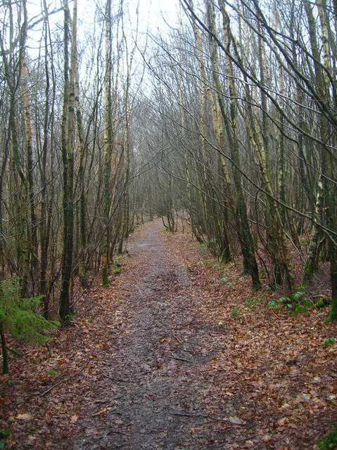
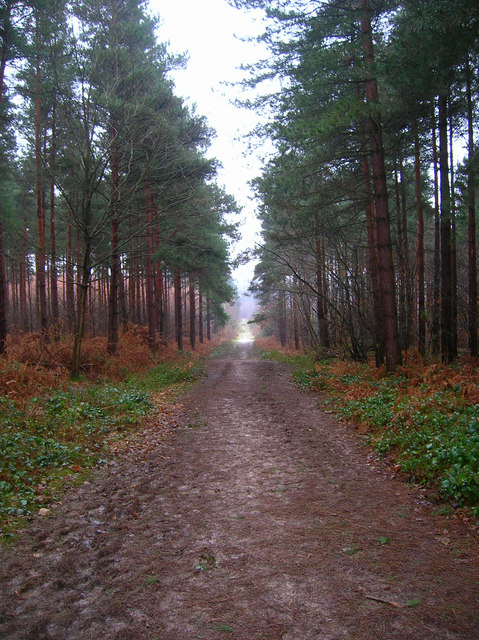
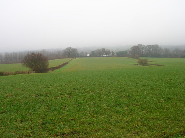
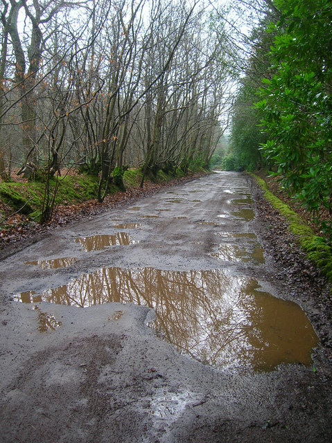
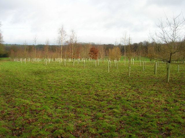
Bartlett Shaw is a small woodland area located in Sussex, England. Nestled within the picturesque countryside, this forested area covers approximately 200 acres of land. Its natural beauty and tranquil atmosphere make it a popular destination for nature enthusiasts, hikers, and those seeking a peaceful escape from the bustling city life.

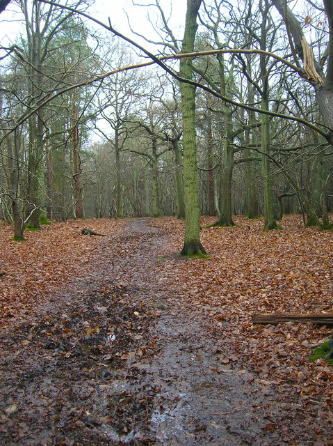
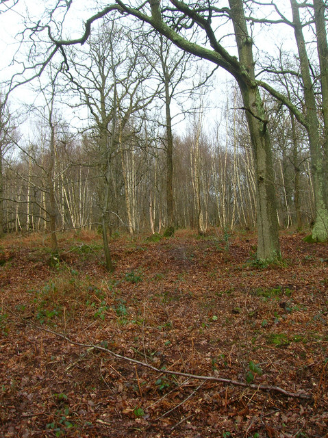
The woodland is predominantly made up of a variety of tree species, including oak, beech, and birch. The dense foliage provides ample shade and a welcoming habitat for numerous wildlife species. Visitors can often spot squirrels, rabbits, and a variety of bird species, including woodpeckers and owls.

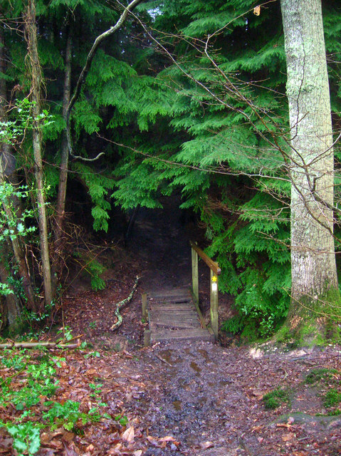
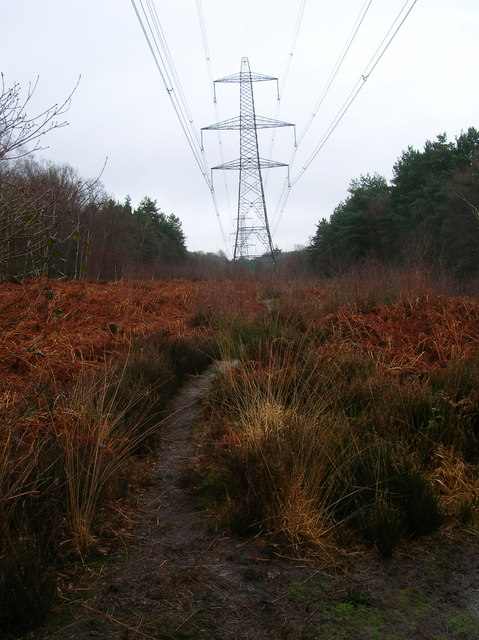
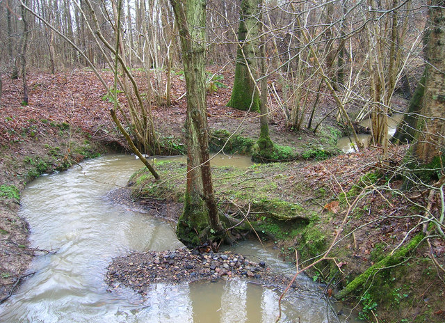
Bartlett Shaw offers a network of well-maintained walking trails that wind through the forest, providing visitors with the opportunity to explore and enjoy the natural surroundings. These trails vary in difficulty, catering to both casual strollers and more experienced hikers. Along the paths, visitors can admire the vibrant colors of wildflowers, listen to the soothing sounds of trickling streams, and breathe in the fresh, earthy scent of the forest.

In addition to its natural beauty, Bartlett Shaw also boasts a small picnic area, allowing visitors to relax and enjoy a meal amidst the serene surroundings. The forest is open to the public year-round, providing a peaceful retreat for those looking to connect with nature in this idyllic corner of Sussex.

If you have any feedback on the listing, please let us know in the comments section below.

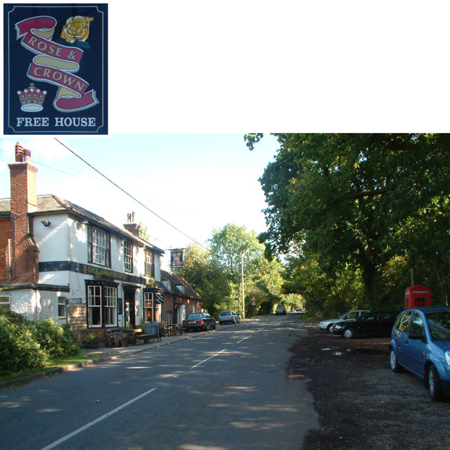
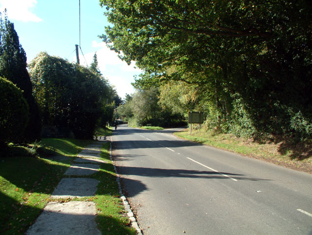
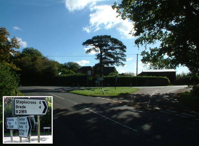
Bartlett Shaw Images

Images are sourced within 2km of 50.982172/0.63616674 or Grid Reference TQ8523. Thanks to Geograph Open Source API. All images are credited.

Rose & Crown, Northiam Road, Beckley, East Sussex TN31 Looking east on the B2088 Northiam to Rye Road, at the western edge of Beckley village.
Rose & Crown, Northiam Road, Beckley, East Sussex TN31
Looking east on the B2088 Northiam to Rye Road, at the western edge of Beckley village.
B2165 at Clayhill, East Sussex TN31 Looking southwest; New Road forks to the right.
B2165 at Clayhill, East Sussex TN31
Looking southwest; New Road forks to the right.
Junction of B2088 and B2165 at Clayhill, East Sussex TN31
Dreary Day, South of Beckley Taken from the footpath that links Clayhill with Horseshoe Lane. The woodland in the distance is Hoath Wood whilst the fields in the foreground are waterlogged from the previous week's snow and last night's downpour. In fact it was still lightly raining at this point.
Dreary Day, South of Beckley
Taken from the footpath that links Clayhill with Horseshoe Lane. The woodland in the distance is Hoath Wood whilst the fields in the foreground are waterlogged from the previous week's snow and last night's downpour. In fact it was still lightly raining at this point.
Footpath through Milldown Wood Linking Horseshoe Lane with King's Barn Lane. Birches are the predominant tree here.
Footpath through Milldown Wood
Linking Horseshoe Lane with King's Barn Lane. Birches are the predominant tree here.
Main Track, Bixley Wood Bixley Wood is a commercial wood owned by the Forestry Commission and is a mixture of Birch, Oak and Pine. This track is the white clearing on the Landranger map looking south.
Main Track, Bixley Wood
Bixley Wood is a commercial wood owned by the Forestry Commission and is a mixture of Birch, Oak and Pine. This track is the white clearing on the Landranger map looking south.
Unnamed Stream, Milldown Wood At the very edge near to where a small footbridge carries the footpath from Horseshoe Lane to King's Barn Lane. The previous night's rain had made many streams fast running. This one runs north towards the Rother.
Unnamed Stream, Milldown Wood
At the very edge near to where a small footbridge carries the footpath from Horseshoe Lane to King's Barn Lane. The previous night's rain had made many streams fast running. This one runs north towards the Rother.
Footbridge over Unnamed Stream, Milldown Wood On the eastern edge of the wood is this rather rickety footbridge. The fir darkens the entrance to the wood.
Footbridge over Unnamed Stream, Milldown Wood
On the eastern edge of the wood is this rather rickety footbridge. The fir darkens the entrance to the wood.
Fields North of Beckley Taken from the footpath linking King's Barn Lane with Bixley Wood, the low cloud still obscuring the horizon.
Fields North of Beckley
Taken from the footpath linking King's Barn Lane with Bixley Wood, the low cloud still obscuring the horizon.
Flatroper's Wood Open access land owned by the Sussex Wildlife Trust. Only a small part of the wood is the rest is in private ownership. The wood is home to the growing population of Wild Boar whose numbers have been growing steadily since the storms of 1987 destroyed fences and enabled a large number to escape into the wild. Booth this wood, Bixley Wood and Beckley Woods are now home to these nocturnal creatures.
Flatroper's Wood
Open access land owned by the Sussex Wildlife Trust. Only a small part of the wood is the rest is in private ownership. The wood is home to the growing population of Wild Boar whose numbers have been growing steadily since the storms of 1987 destroyed fences and enabled a large number to escape into the wild. Booth this wood, Bixley Wood and Beckley Woods are now home to these nocturnal creatures.
Bixley Lane Flatroper's Wood to the left, Bixley Wood to the right. Both have very fine woodbank boundaries. Bixley Lane is a rutted track between Bixley Wood car park and Birds Farm though it is possible to drive vehicles down it.
Bixley Lane
Flatroper's Wood to the left, Bixley Wood to the right. Both have very fine woodbank boundaries. Bixley Lane is a rutted track between Bixley Wood car park and Birds Farm though it is possible to drive vehicles down it.
Electricity Pylons, Flatroper's Wood. The gap created between the trees has allowed the ferns to colonise.
Electricity Pylons, Flatroper's Wood.
The gap created between the trees has allowed the ferns to colonise.
Flatroper's Wood Oak and birch in the southern part of the wood. Taken from the footpath that links Bixley Lane with Woodlands Farm.
Flatroper's Wood
Oak and birch in the southern part of the wood. Taken from the footpath that links Bixley Lane with Woodlands Farm.
Hedged Fields near Birds Farm Typical Wealden countryside where a small area between the woods has been cleared for agriculture. The white house is Beech Cottage the woodland beyond Calveslodge Wood.
Hedged Fields near Birds Farm
Typical Wealden countryside where a small area between the woods has been cleared for agriculture. The white house is Beech Cottage the woodland beyond Calveslodge Wood.
Unnamed Stream, Ten Acre Wood At the point where Bixley Lane turns sharply west this stream runs underneath it. The sediment being carried by the stream is already building up here. The stream is a feeder for Eggshole Brook which itself  feeds the River Brede.
Unnamed Stream, Ten Acre Wood
At the point where Bixley Lane turns sharply west this stream runs underneath it. The sediment being carried by the stream is already building up here. The stream is a feeder for Eggshole Brook which itself feeds the River Brede.
New Plantation, Birds Farm Being planted in the field to the south of Birds Farm.
New Plantation, Birds Farm
Being planted in the field to the south of Birds Farm.
Pond, Cherrytree Shaw Next to the footpath that links Bixley Lane with Horseshoe Lane.
Pond, Cherrytree Shaw
Next to the footpath that links Bixley Lane with Horseshoe Lane.
Eggshole Brook, Timber Wood Sharp meanders in the stream as it travels through Timber Wood. This part is east of the brook's crossing of Horseshoe Lane.
Eggshole Brook, Timber Wood
Sharp meanders in the stream as it travels through Timber Wood. This part is east of the brook's crossing of Horseshoe Lane.
Show me another place!

Bartlett Shaw is located at Grid Ref: TQ8523 (Lat: 50.982172, Lng: 0.63616674)

Administrative County: East Sussex

District: Rother

Police Authority: Sussex

What 3 Words

///magpie.wolf.slowness. Near Northiam, East Sussex

Related Wikis

Beckley, East Sussex

Beckley is a village and civil parish in the Rother district of East Sussex, England. It is located on the B2088 minor road above the Rother Levels five...

Flatropers Wood

Flatropers Wood is a 38-hectare (94-acre) nature reserve in Rye in East Sussex. It is managed by the Sussex Wildlife Trust.The wood is mainly oak and...

Northiam

Northiam is a village and civil parish in the Rother district, in East Sussex, England, 13 miles (21 km) north of Hastings in the valley of the River Rother...

Northiam SSSI

Northiam SSSI is a 0.3-hectare (0.74-acre) geological Site of Special Scientific Interest in Northiam in East Sussex. It is a Geological Conservation Review...

Nearby Amenities

Located within 500m of 50.982172,0.63616674
Beckley
Place: village
Lat/Long: 50.984747/0.6368865
Power: pole
Lat/Long: 50.9822852/0.6374099
Power: pole
Lat/Long: 50.9811484/0.6392148
Power: pole
Lat/Long: 50.9787409/0.6335084
Power: pole
Lat/Long: 50.9848914/0.6321717
Power: pole
Lat/Long: 50.9813845/0.6367022
Power: pole
Lat/Long: 50.9839295/0.6359955
Power: pole
Lat/Long: 50.9786273/0.6349087
Power: pole
Lat/Long: 50.9847933/0.6339176
Power: pole
Lat/Long: 50.979306/0.6328026
Power: pole
Lat/Long: 50.9834467/0.636414
Power: pole
Lat/Long: 50.9778494/0.6346472
Post Box
Operator: Royal Mail
Operator Wikidata: Q638098
Post Box Type: lamp
Lat/Long: 50.9846958/0.6358657
Power: pole
Lat/Long: 50.9797191/0.6353867
Power: pole
Lat/Long: 50.9849458/0.631115
Power: pole
Lat/Long: 50.9791107/0.6313987
Power: pole
Lat/Long: 50.9805873/0.6360728
Power: pole
Lat/Long: 50.981173/0.6384169
Power: pole
Lat/Long: 50.9777995/0.6345335
Power: pole
Lat/Long: 50.9848456/0.6330811
Barrier: stile
Lat/Long: 50.9810401/0.6382633
Barrier: kissing_gate
Lat/Long: 50.9816982/0.640824
Barrier: stile
Lat/Long: 50.9817045/0.6401508
Power: pole
Lat/Long: 50.979306/0.6328026
Public Bookcase
Library
Booth: K6
Disused Amenity: telephone
Man Made: telephone_box
Public Bookcase Type: phone_box
Lat/Long: 50.9843458/0.6341526
Generator Method: photovoltaic
Generator Output Electricity: yes
Generator Source: solar
Generator Type: solar_photovoltaic_panel
Location: roof
Power: generator
Lat/Long: 50.9837933/0.6315798
Generator Method: photovoltaic
Generator Output Electricity: yes
Generator Source: solar
Generator Type: solar_photovoltaic_panel
Location: roof
Power: generator
Lat/Long: 50.9838439/0.631789
Generator Method: photovoltaic
Generator Output Electricity: yes
Generator Source: solar
Generator Type: solar_photovoltaic_panel
Location: roof
Power: generator
Lat/Long: 50.9855012/0.6370863
The data included in this document is from www.openstreetmap.org. The data is made available under ODbL.

Have you been to Bartlett Shaw?

Leave your review of Bartlett Shaw below (or comments, questions and feedback).