New Plantation
Wood, Forest in Suffolk Breckland
England
New Plantation
New Plantation, Suffolk, also known as Wood or Forest, is a small town located in Suffolk County, England. With a population of approximately 2,000 residents, it is a close-knit community known for its picturesque landscapes and peaceful atmosphere.
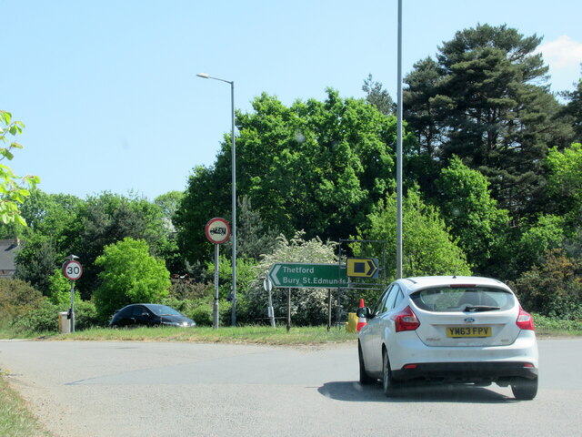
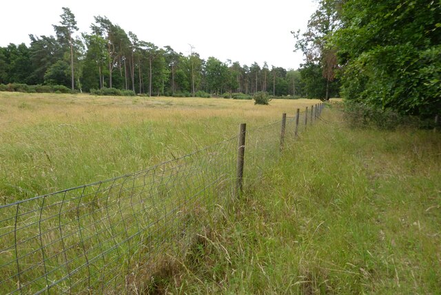
The town is surrounded by lush green forests, giving it a unique charm and providing ample opportunities for outdoor activities such as hiking, biking, and birdwatching. The woodlands are home to a diverse range of flora and fauna, including various species of trees, wildflowers, and animals like deer and foxes.
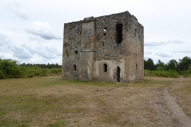
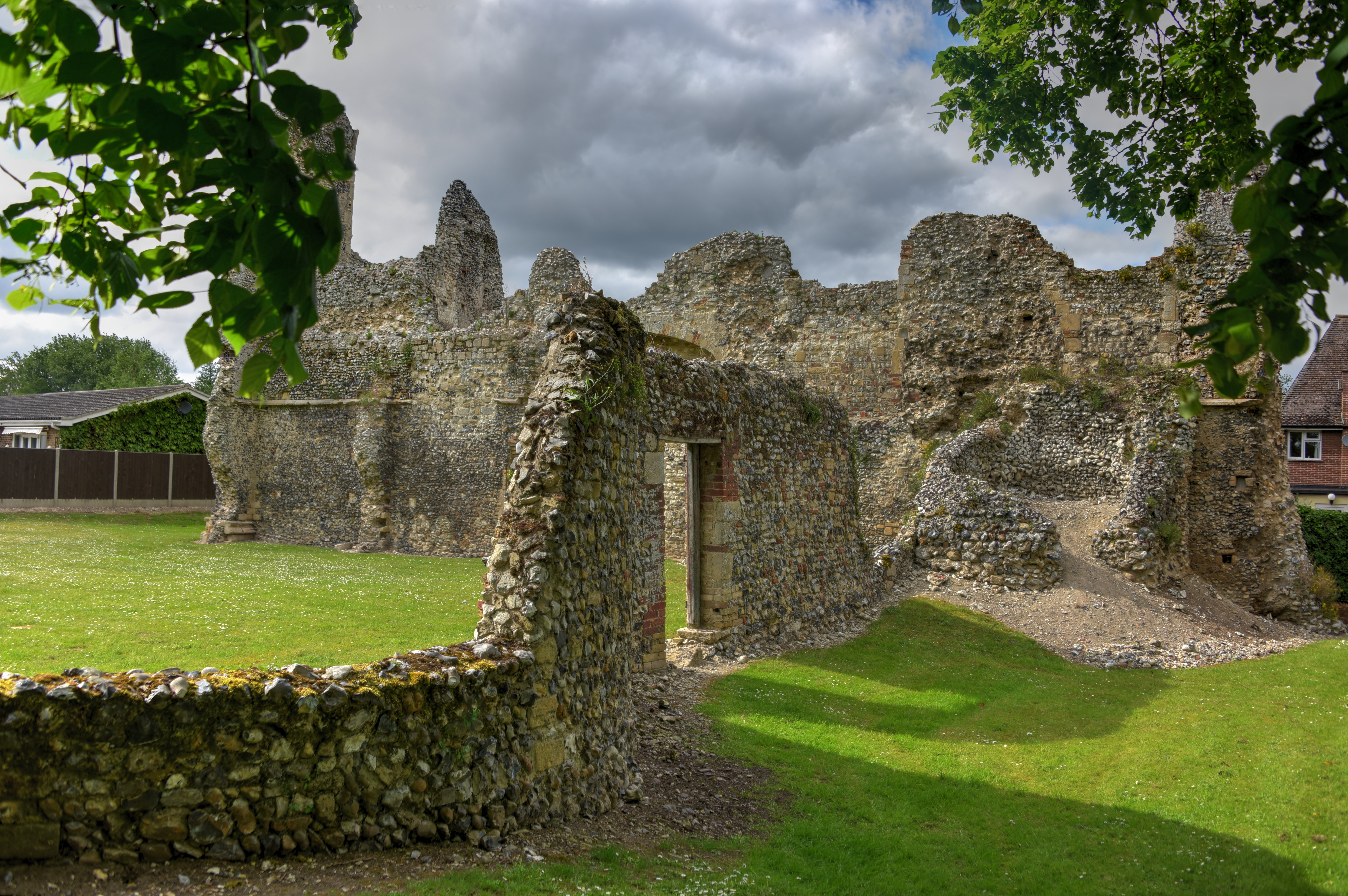
New Plantation is also well-known for its rich history, dating back to medieval times. The town features several historical landmarks, including an ancient church and a stunning manor house that has been preserved over the centuries. These landmarks serve as a reminder of the town's past and attract visitors who are interested in history and architecture.
In terms of amenities, New Plantation offers a range of services to cater to the needs of its residents. There are local shops, cafes, and restaurants, providing a variety of options for shopping and dining. The town also has a primary school, community center, and sports facilities, ensuring that residents have access to education and recreational activities.
Overall, New Plantation, Suffolk, is a tranquil and picturesque town that offers a blend of natural beauty, historical significance, and a strong sense of community. Whether one is looking for a peaceful retreat or a place to settle down and raise a family, this town provides a charming and welcoming environment.
If you have any feedback on the listing, please let us know in the comments section below.
New Plantation Images
Images are sourced within 2km of 52.426819/0.72030777 or Grid Reference TL8584. Thanks to Geograph Open Source API. All images are credited.


New Plantation is located at Grid Ref: TL8584 (Lat: 52.426819, Lng: 0.72030777)
Administrative County: Norfolk
District: Breckland
Police Authority: Norfolk
What 3 Words
///asking.myself.clocking. Near Thetford, Norfolk
Nearby Locations
Related Wikis

Thetford Golf Course and Marsh
Thetford Golf Course and Marsh is a 122.3-hectare (302-acre) biological Site of Special Scientific Interest on the western outskirts of Thetford in Norfolk...

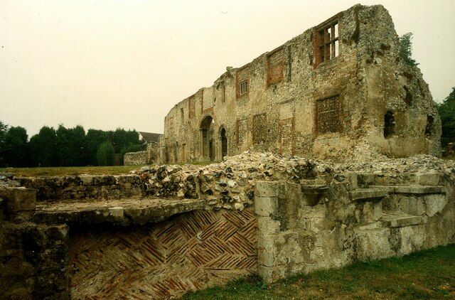
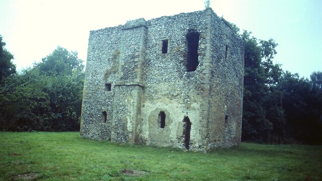
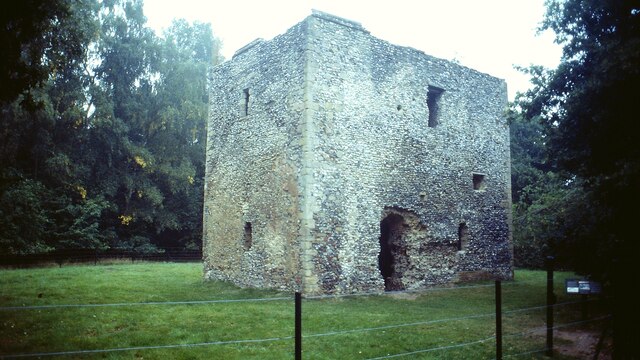
Thetford Priory
Thetford Priory is a Cluniac monastic house in Thetford, Norfolk, England. Founded in 1103 by Roger Bigod of Norfolk, Thetford was one of the most important...
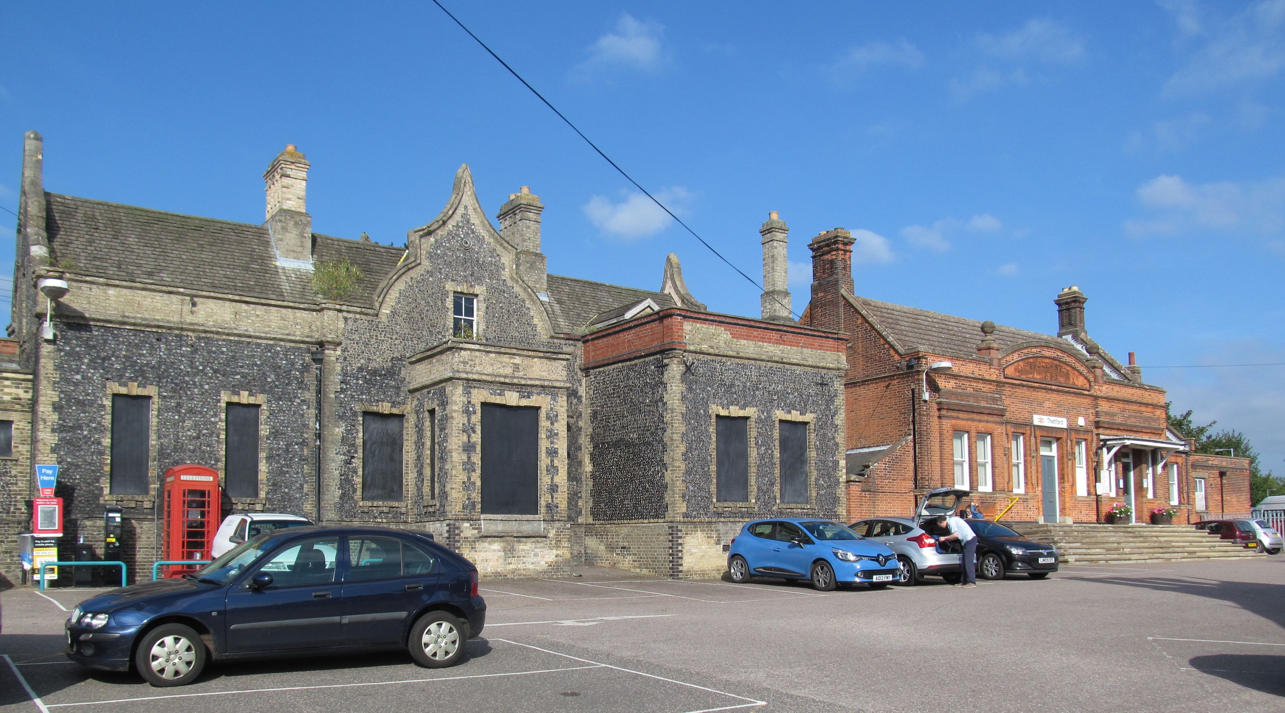
Thetford railway station
Thetford railway station is on the Breckland line in the east of England, serving the market town of Thetford, Norfolk. The line runs between Cambridge...

Thetford Town F.C.
Thetford Town Football Club is an English football club based in Thetford, Norfolk. The club are currently members of the Eastern Counties League Premier...
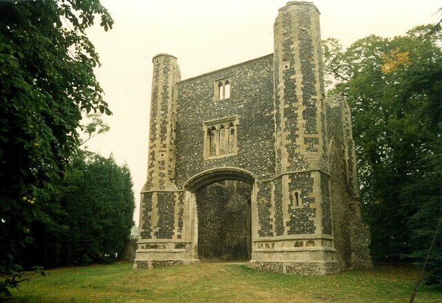
Holy Sepulchre Priory, Thetford
Holy Sepulchre Church was a medieval monastic house in Thetford, Norfolk. The ruined nave of this 14th-century church are the only surviving remains in...

Charles Burrell Museum
The Charles Burrell Museum is a museum in Thetford in Norfolk, England, dedicated to steam power and steam transport. The museum opened in 1991 in the...

Thetford Grammar School
Thetford Grammar School is an independent co-educational school in Thetford, Norfolk, England. The school might date back to the 7th century, which would...

Thetford
Thetford is a market town and civil parish in the Breckland District of Norfolk, England. It is on the A11 road between Norwich and London, just east of...
Nearby Amenities
Located within 500m of 52.426819,0.72030777Have you been to New Plantation?
Leave your review of New Plantation below (or comments, questions and feedback).