Foxearth Plantation
Wood, Forest in Suffolk West Suffolk
England
Foxearth Plantation
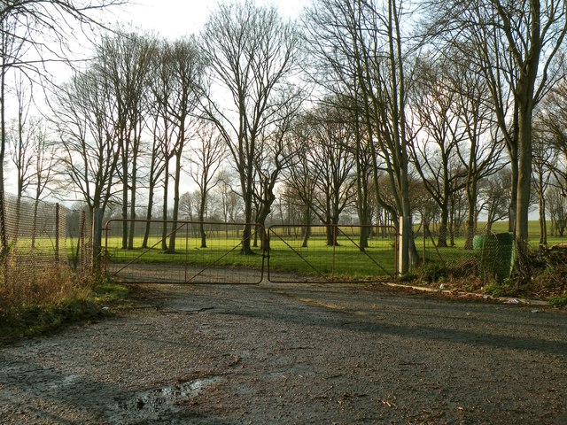
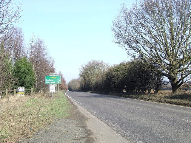
Foxearth Plantation is a picturesque woodland area located in the county of Suffolk, England. Stretching over an expansive area, it is often referred to as a plantation due to the large number of trees that populate the landscape. The plantation is situated near the village of Foxearth, surrounded by rolling hills and fields, creating a beautiful natural setting.
The woodland is primarily composed of native tree species, including oak, beech, and birch, which provide a diverse and vibrant habitat for various flora and fauna. The dense canopy of trees offers a shaded and peaceful environment, making it a popular destination for nature enthusiasts, hikers, and birdwatchers.
Numerous walking trails wind through the plantation, providing visitors with the opportunity to explore the natural beauty of the area. The trails offer stunning views of the surrounding countryside and occasionally lead to small clearings, where visitors can rest and appreciate the tranquility of the woodland.
Foxearth Plantation is known for its rich biodiversity, hosting a wide array of plant and animal species. It serves as a habitat for various woodland birds, such as woodpeckers and owls, as well as small mammals like squirrels and rabbits. The plantation also supports a diverse range of plant life, including wildflowers, ferns, and mosses, which add to its enchanting charm.
Overall, Foxearth Plantation in Suffolk offers a captivating and peaceful retreat for those seeking to immerse themselves in the beauty of nature. Its lush woodland, diverse wildlife, and scenic trails make it a must-visit destination for anyone looking to appreciate the natural wonders of Suffolk.
If you have any feedback on the listing, please let us know in the comments section below.
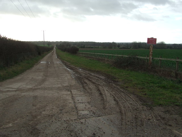
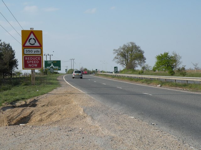
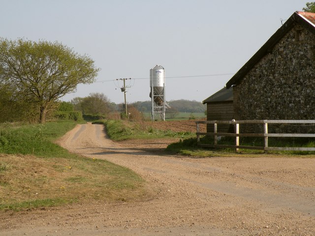
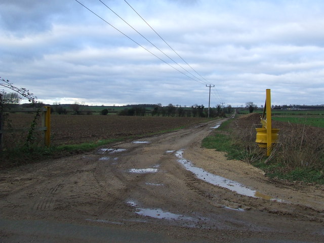
Foxearth Plantation Images
Images are sourced within 2km of 52.281224/0.71063008 or Grid Reference TL8568. Thanks to Geograph Open Source API. All images are credited.


Foxearth Plantation is located at Grid Ref: TL8568 (Lat: 52.281224, Lng: 0.71063008)
Administrative County: Suffolk
District: West Suffolk
Police Authority: Suffolk
What 3 Words
///shiver.vintages.nylon. Near Bury St Edmunds, Suffolk
Nearby Locations
Related Wikis

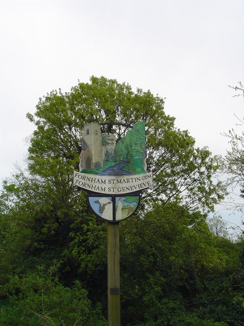
Fornham St Genevieve
Fornham St Genevieve is a village and civil parish in the West Suffolk district of Suffolk in eastern England. It is one of a trio of contiguous villages...
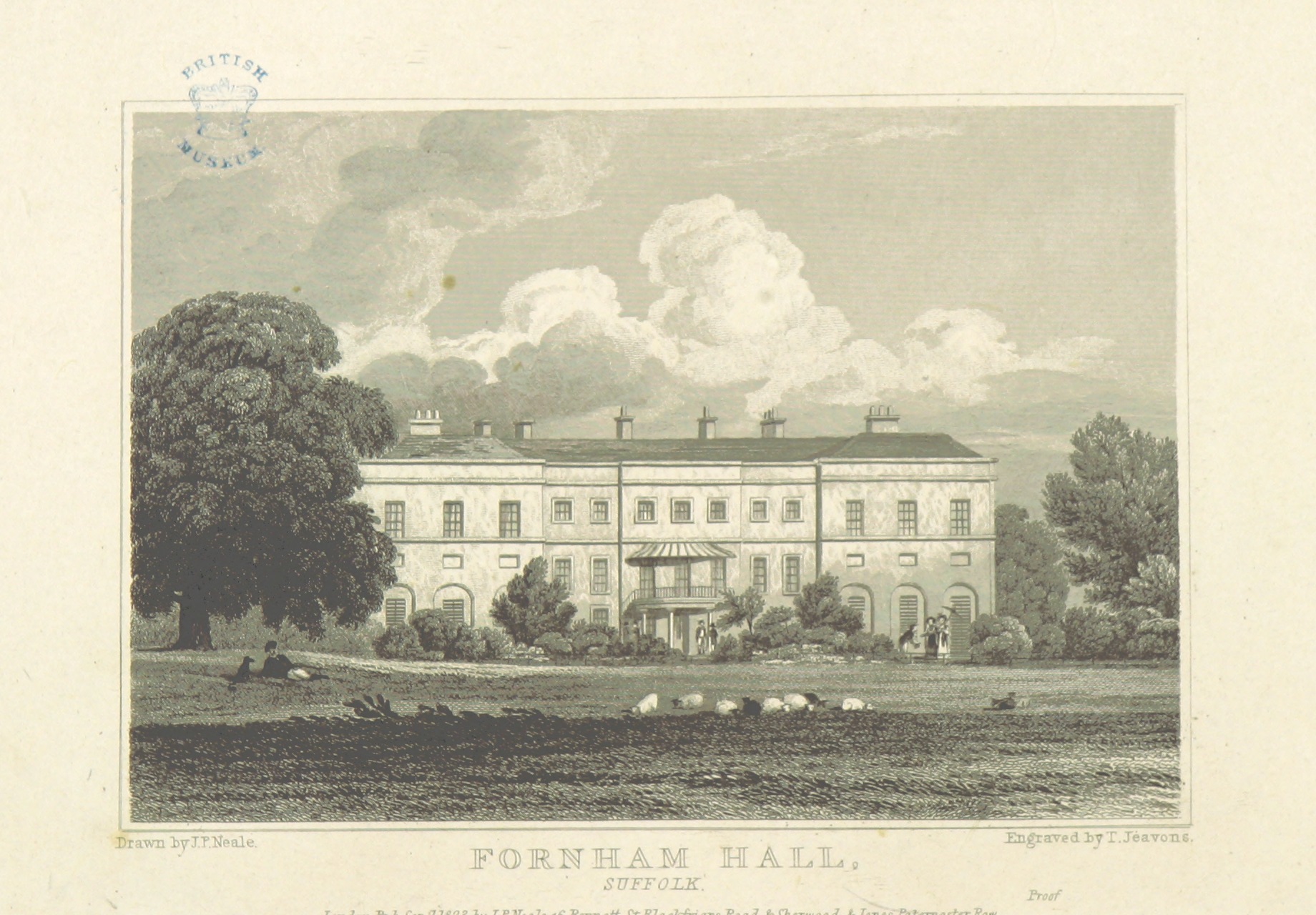
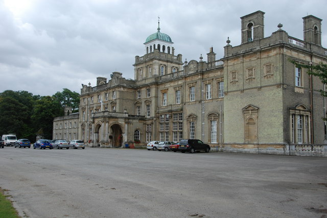
Fornham Hall
Fornham Hall was a large 18th-century country house near Bury St Edmunds. It was demolished in 1957. The Estate included manorial land is part of the parish...
Fornham St Martin
Fornham St Martin is a village and civil parish in the West Suffolk district of Suffolk in eastern England. Located on the northern outskirts of Bury St...

Fornham All Saints
Fornham All Saints is a village and civil parish in Suffolk, England in the West Suffolk district. It is north-northwest of the town of Bury St Edmunds...

Timworth
Timworth is a village and civil parish 65 mi (105 km) north east of London and 26 mi (42 km) east of Cambridge in the West Suffolk district of Suffolk...
Culford
Culford is a village and civil parish about 4 miles (6 km) north of Bury St Edmunds and 62 miles (100 km) north east of London in the West Suffolk district...
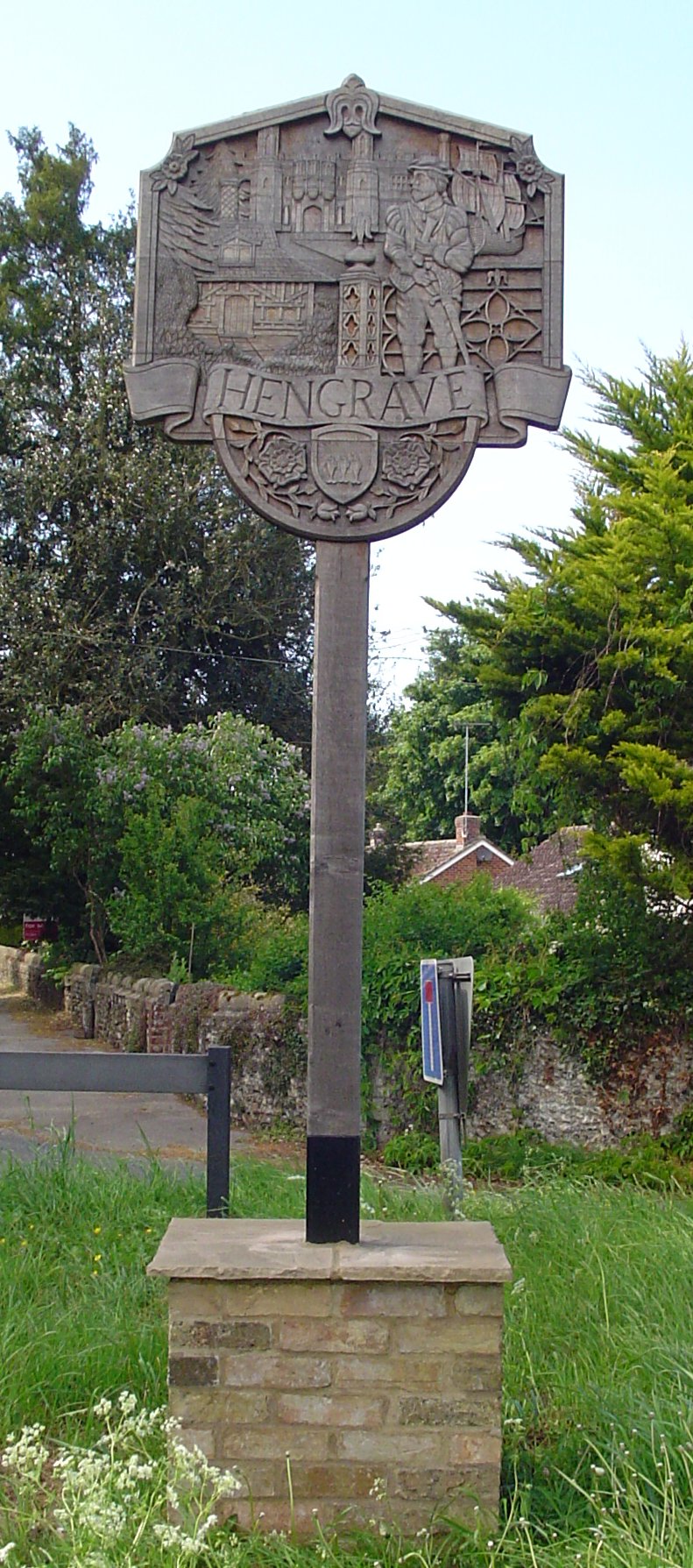
Hengrave
Hengrave is a small village and civil parish in the West Suffolk district, in the county of Suffolk, England. It is to the North the town of Bury St Edmunds...

Church of St John Lateran, Hengrave
The Church of St John Lateran, Hengrave is the former parish church of Hengrave, Suffolk. In 1589 this parish was consolidated with that of adjacent Flempton...
Nearby Amenities
Located within 500m of 52.281224,0.71063008Have you been to Foxearth Plantation?
Leave your review of Foxearth Plantation below (or comments, questions and feedback).