Brookmead Grove

Wood, Forest in Essex Maldon

England

Brookmead Grove

Three Rivers golf and country club, Cold Norton
Three Rivers golf and country club, Cold Norton Credit: David Howard

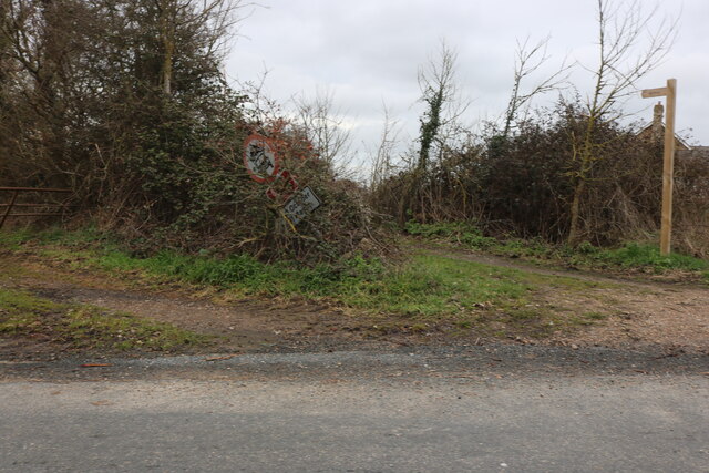
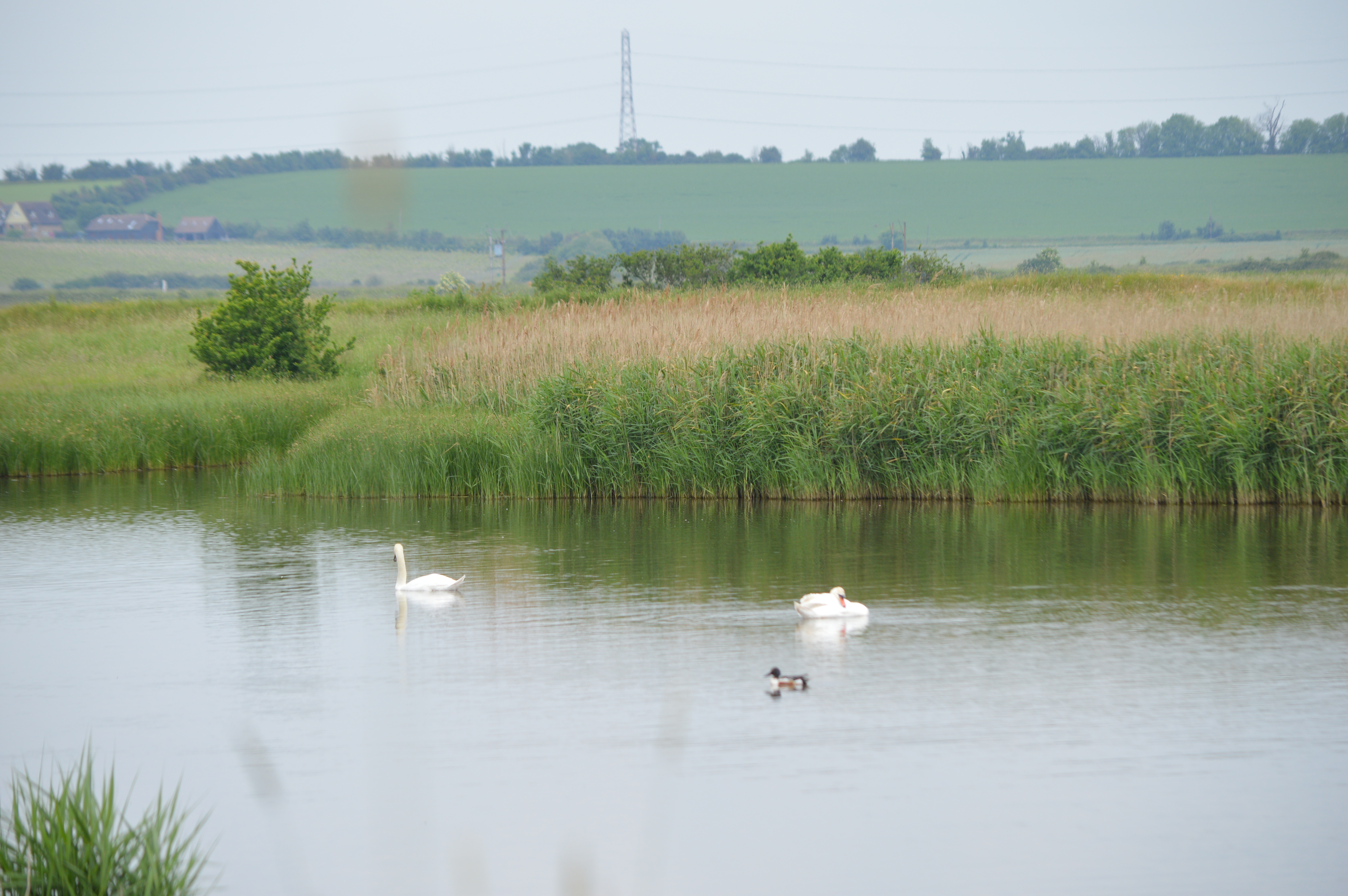
Brookmead Grove is a picturesque residential area located in Essex, England. Nestled within a dense woodland forest, this idyllic community offers a tranquil and serene living environment for its residents. The area is characterized by its abundant greenery, with tall trees and lush vegetation surrounding the neighborhood.

The properties in Brookmead Grove are predominantly detached houses, each with its own unique architectural style. These homes are well-maintained and often boast spacious gardens, providing ample space for outdoor activities and relaxation. The neighborhood is known for its peaceful atmosphere, making it an ideal place for families and individuals seeking a quiet retreat away from the hustle and bustle of city life.

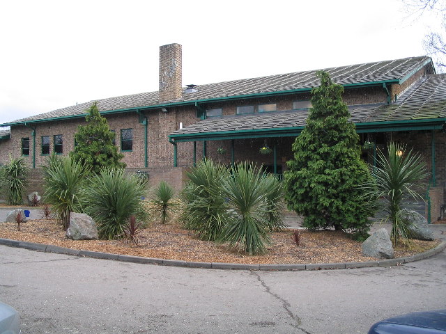
The community of Brookmead Grove is well-served by a range of amenities and facilities. There are several local shops and supermarkets within easy reach, ensuring that residents have convenient access to everyday essentials. Additionally, the area benefits from excellent transportation links, with regular bus services connecting it to nearby towns and cities.

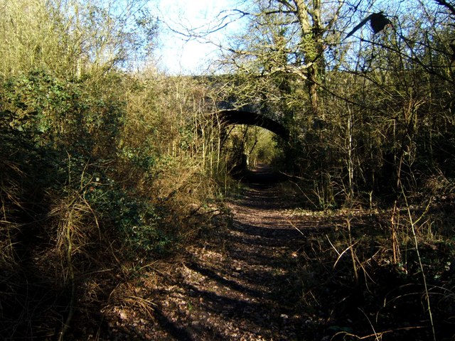
Nature enthusiasts will find themselves in awe of the surrounding woodland forest. The forest offers numerous walking and cycling trails, allowing residents to enjoy the beauty of nature right on their doorstep. The area is also home to a variety of wildlife, including deer, squirrels, and a wide array of bird species, making it a haven for nature lovers and birdwatchers.

In conclusion, Brookmead Grove in Essex is a stunning residential area set amidst a beautiful forest landscape. With its peaceful ambiance, well-maintained properties, and convenient amenities, it is an ideal place for those seeking a harmonious blend of nature and modern living.

If you have any feedback on the listing, please let us know in the comments section below.

Brookmead Grove Images

Images are sourced within 2km of 51.659642/0.6691097 or Grid Reference TQ8499. Thanks to Geograph Open Source API. All images are credited.

Three Rivers golf and country club, Cold Norton
Byway off Howe Green Road, Cold Norton
Howe Green Road, Cold Norton
Marshland near South Woodham Ferrers Marshland draining into the River Crouch near South Woodham Ferrers
Marshland near South Woodham Ferrers
Marshland draining into the River Crouch near South Woodham Ferrers
North Fambridge station Taken looking in the up-direction towards Wickford. The line from Wickford to Southminster was opened in 1889 and electrified in 1986.
North Fambridge station
Taken looking in the up-direction towards Wickford. The line from Wickford to Southminster was opened in 1889 and electrified in 1986.
North Fambridge station - frontage The entire station looks as though it was rebuilt around the time the line from Wickford to Southminster was electrified in 1986.
North Fambridge station - frontage
The entire station looks as though it was rebuilt around the time the line from Wickford to Southminster was electrified in 1986.
Land earmarked for building, North Fambridge The flags suggest that the empty field behind them will soon be used to extend the Riverside Grange development, part of which can be seen in the background. The structure between the flag posts in the foreground once carried the village sign depicted in <a href="https://www.geograph.org.uk/photo/2869990">TQ8597 : North Fambridge Village Sign</a>.
Land earmarked for building, North Fambridge
The flags suggest that the empty field behind them will soon be used to extend the Riverside Grange development, part of which can be seen in the background. The structure between the flag posts in the foreground once carried the village sign depicted in TQ8597 : North Fambridge Village Sign.
Holy Trinity, North Fambridge - south-west elevation Most of the church dates from the mid-C18. As the background to the picture suggests, this once isolated area is today becoming increasingly urban in appearance.
Holy Trinity, North Fambridge - south-west elevation
Most of the church dates from the mid-C18. As the background to the picture suggests, this once isolated area is today becoming increasingly urban in appearance.
Holy Trinity, North Fambridge - north-west elevation Most of the church dates from the mid-C18.
Holy Trinity, North Fambridge - north-west elevation
Most of the church dates from the mid-C18.
Holy Trinity, North Fambridge - south-east elevation Most of the church dates from the mid-C18.
Holy Trinity, North Fambridge - south-east elevation
Most of the church dates from the mid-C18.
Cold Norton General Store and Post Office
Three Rivers Golf and Country Club
Cold Norton Water Tower This is the water tower at Great Canney near Cold Norton
Cold Norton Water Tower
This is the water tower at Great Canney near Cold Norton
B1018 - B1010 Junction This is where the B1010 Fambridge Rd left to right has a junction with the B1018 Latchingdon Rd (straight on) and the Cold Norton Rd behind the photographer.
B1018 - B1010 Junction
This is where the B1010 Fambridge Rd left to right has a junction with the B1018 Latchingdon Rd (straight on) and the Cold Norton Rd behind the photographer.
Howe Green Road This is on the approach to Farther Howegreen.
Howe Green Road
This is on the approach to Farther Howegreen.
An old railway carriage.
Stow Maries Walk View of Stow Maries village. Visit the church and visit the airmen from the First World War that were killed at the airfield.
Lieutenant Nicholls and 2nd Lieutenants Mouritzen and Milburn are buried in the churchyard of St Mary and St Margaret, Stow Maries, as is Stow’s first commanding officer, Claude Ridley, who died as a Wing Commander during the Second World War, from natural causes.
Stow Maries Walk
View of Stow Maries village. Visit the church and visit the airmen from the First World War that were killed at the airfield. Lieutenant Nicholls and 2nd Lieutenants Mouritzen and Milburn are buried in the churchyard of St Mary and St Margaret, Stow Maries, as is Stow’s first commanding officer, Claude Ridley, who died as a Wing Commander during the Second World War, from natural causes.
Hagg Hill This is the top of Hagg Hill looking down. This narrow road joins the Stow Road with Hackmans Lane.
Hagg Hill
This is the top of Hagg Hill looking down. This narrow road joins the Stow Road with Hackmans Lane.
Show me another place!

Brookmead Grove is located at Grid Ref: TQ8499 (Lat: 51.659642, Lng: 0.6691097)

Administrative County: Essex

District: Maldon

Police Authority: Essex

What 3 Words

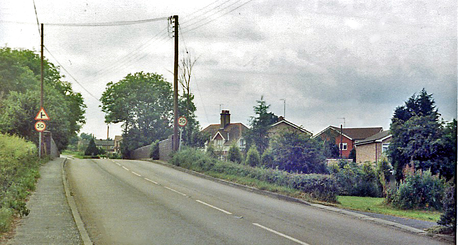
///instance.mango.readers. Near Cold Norton, Essex

Related Wikis

Stow Maries Halt

Stow Maries Halt is a 2.2-hectare (5.4-acre) nature reserve south of Stow Maries in Essex. It is owned and managed by the Essex Wildlife Trust.The former...

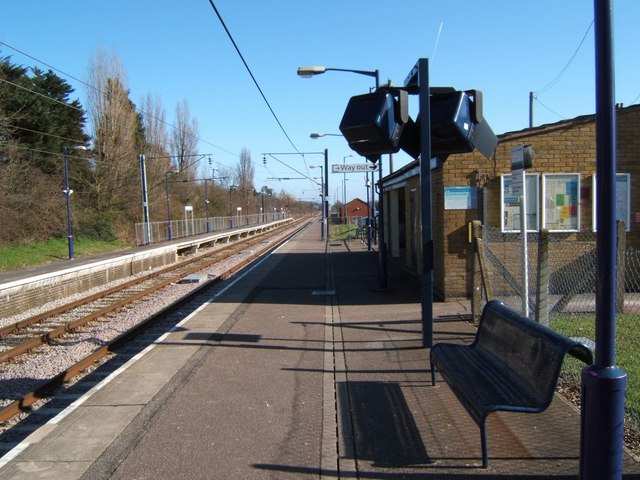
Stow St Mary Halt railway station

Stow St. Mary Halt railway station was a halt that served the village of Stow Maries, Essex. It was opened on 24 September 1928 by the London and North...

Cold Norton railway station

Cold Norton railway station served the village of Cold Norton, Essex. It was opened on 1 October 1889 by the Great Eastern Railway on a single-track branch...
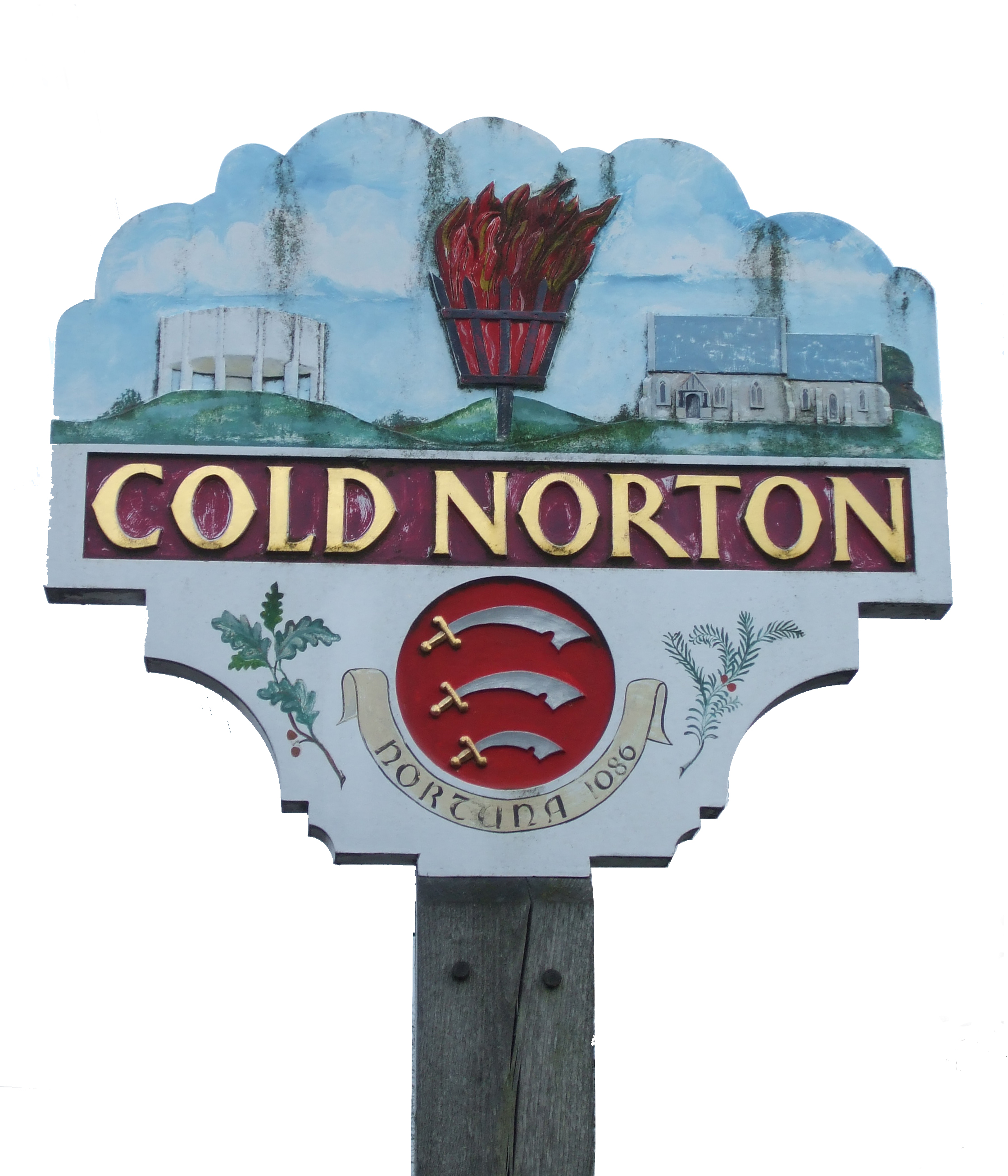
Cold Norton

Cold Norton is a village on the Dengie Peninsula in Essex, England. It is located in rural countryside 10 miles to the east of Chelmsford, and lies just...
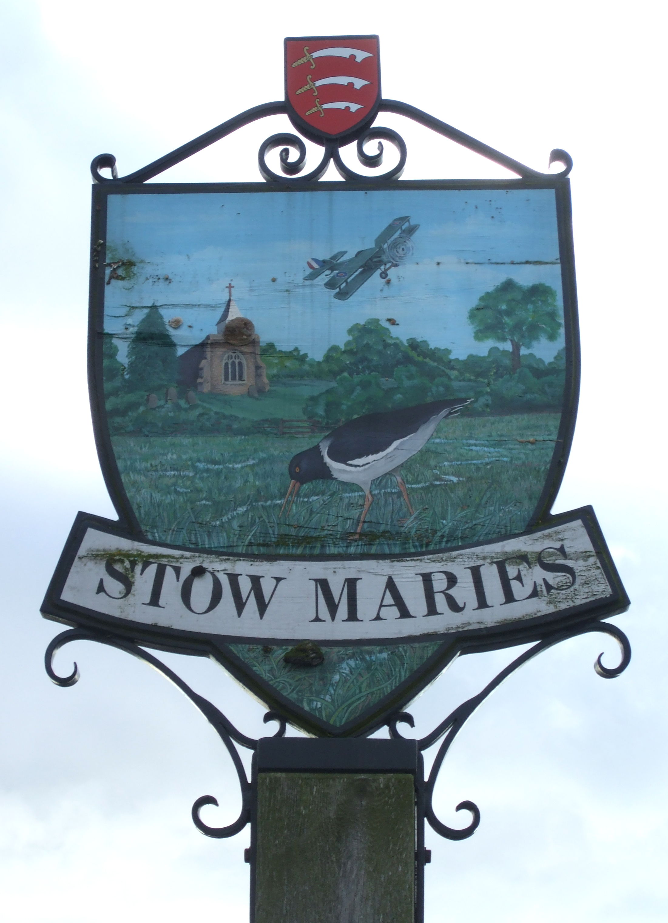
Stow Maries

Stow Maries is a village and civil parish in the English county of Essex. It is located on the western (inland) end of the Dengie peninsula and forms part...

North Fambridge railway station

North Fambridge railway station is on the Crouch Valley Line in the East of England, serving the village of North Fambridge, Essex. It is 37 miles 27 chains...

North Fambridge

North Fambridge is a village and civil parish on the Dengie peninsula in the English county of Essex. North Fambridge is on the north bank of the River...

Blue House Farm

Blue House Farm is a 242.8-hectare (600-acre) nature reserve and farm in North Fambridge, on the north bank of the River Crouch between Burnham-on-Crouch...

Related Videos

Blue House Farm Essex Lapwings 2020_12_20

Lapwings at Blue House Farm. North Fambridge, Essex 20/12/2020.

Pedibal Navigata ebike review

Possibly the best value e-bike currently available. Video review of the new Pedibal Navigata CitE ebike. Almost as good as a ...

HIGHWAY BATTLE WITH MANY MORE BIKE'S😁😁

See many hight way stupid's SUBSCRIBE TRIPURA RIDER CHENNAL Instagram I'd is Tripura_ rider follow me.

Nearby Amenities

Located within 500m of 51.659642,0.6691097
Power: tower
Source: Bing
Lat/Long: 51.6582346/0.6758527
Power: tower
Source: Bing
Lat/Long: 51.6566705/0.6654672
Power: tower
Source: Bing
Lat/Long: 51.6579285/0.6708638
The data included in this document is from www.openstreetmap.org. The data is made available under ODbL.

Have you been to Brookmead Grove?

Leave your review of Brookmead Grove below (or comments, questions and feedback).