Breck Plantation

Wood, Forest in Suffolk West Suffolk

England

Breck Plantation

Military building, Barnham The small Suffolk village of Barnham has been the home to several military establishments. This was evidently some form of guardhouse or checkpoint (officially a picket apparently) on Station Road, leading to the Little Heath Forward Filling Station. It is opposite Triangle Covert. 

For more details (a little out of date) 
<span class="nowrap"><a title="http://www.subbrit.org.uk/sb-sites/sites/l/little_heath_forward_filling_depot/index.shtml" rel="nofollow ugc noopener" href="http://www.subbrit.org.uk/sb-sites/sites/l/little_heath_forward_filling_depot/index.shtml">Link</a><img style="margin-left:2px;" alt="External link" title="External link - shift click to open in new window" src="https://s1.geograph.org.uk/img/external.png" width="10" height="10"/></span>
Military building, Barnham Credit: John Goldsmith

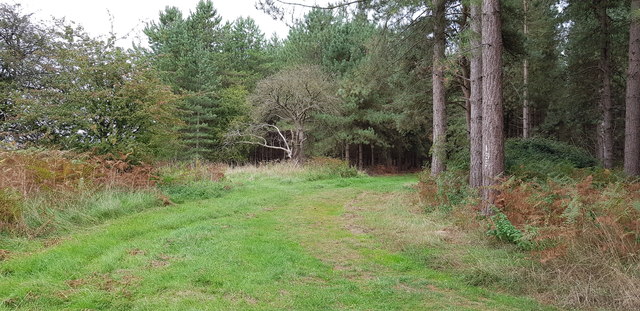
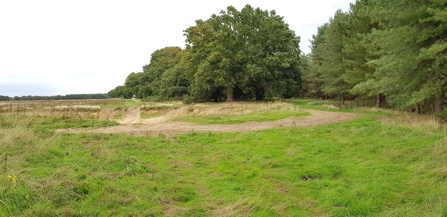
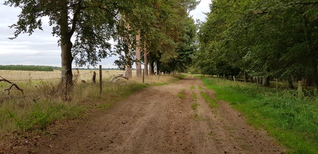
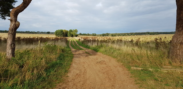
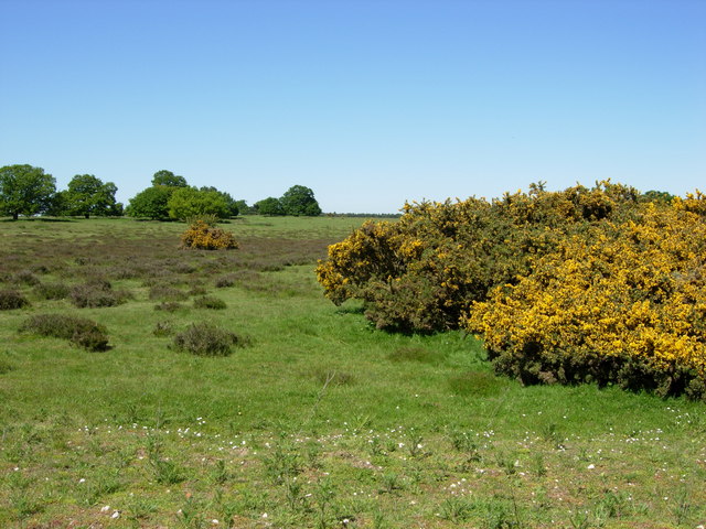
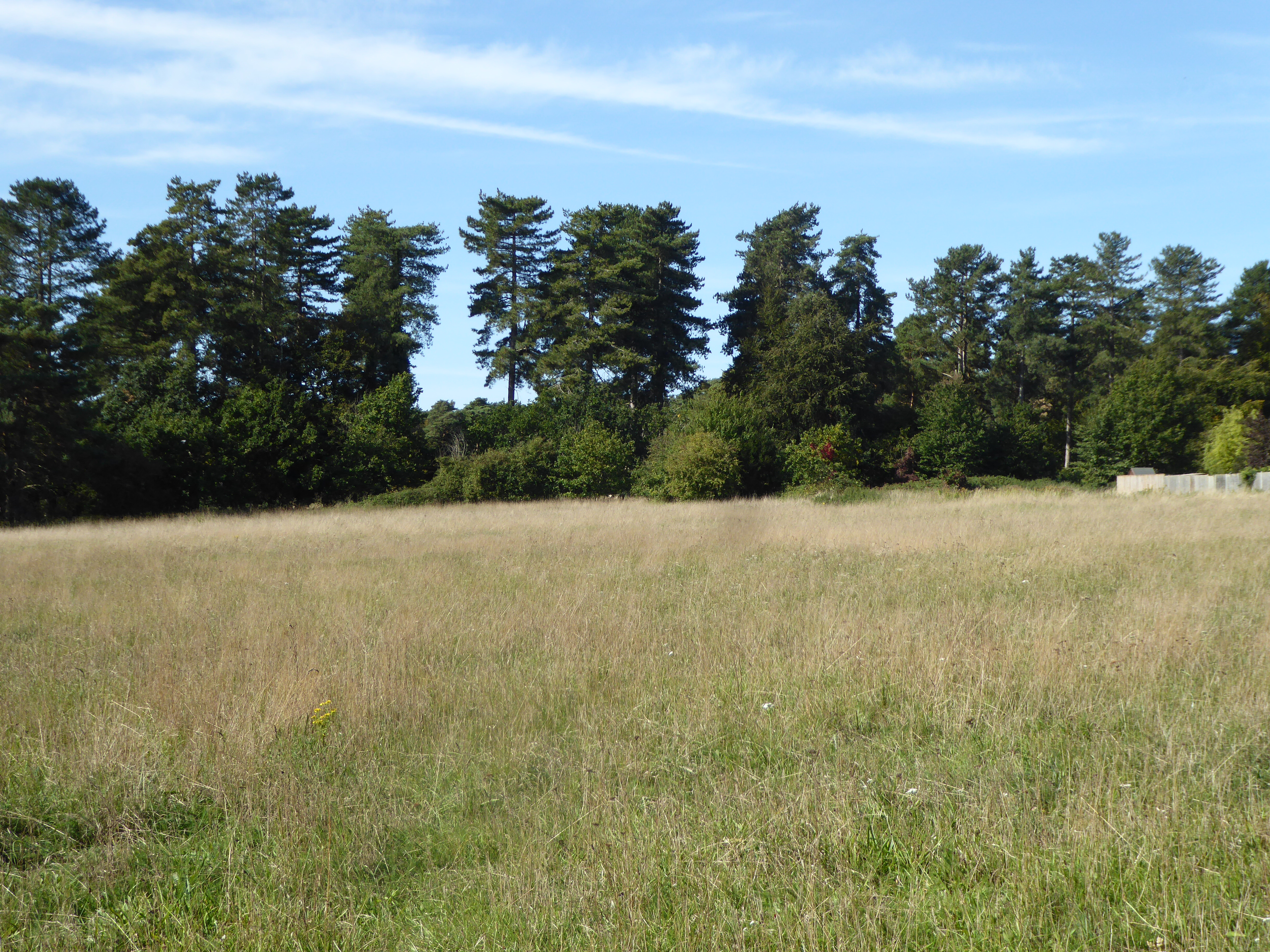
Breck Plantation, located in Suffolk, England, is a beautiful woodland area known for its diverse flora and fauna. Covering an extensive area of approximately 200 acres, this plantation is a significant natural habitat and a popular destination for nature enthusiasts and hikers.

The woodland is primarily composed of mixed broadleaf trees such as oak, beech, and birch, creating a rich and vibrant canopy. These trees provide shelter to a wide range of wildlife, including various bird species such as woodpeckers, owls, and thrushes. The forest floor is covered in a lush carpet of ferns, bluebells, and wildflowers, adding to the enchanting atmosphere of the woodland.

Breck Plantation is notable for its conservation efforts and sustainable practices. The management of the plantation focuses on preserving the natural balance of the ecosystem while providing recreational opportunities for visitors. The area is carefully maintained by clearing invasive species and promoting the growth of native plants.

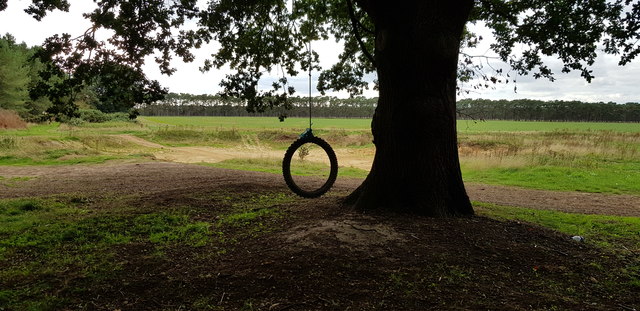
Visitors to Breck Plantation can explore the numerous well-marked trails that wind through the woodland, offering breathtaking views and opportunities to spot wildlife. The plantation also has picnic areas and designated camping spots for those wishing to spend more time immersed in nature.

Overall, Breck Plantation is an idyllic destination for nature lovers, offering a tranquil escape from the bustle of everyday life. Its diverse flora and fauna, coupled with its commitment to conservation, make it a cherished natural gem in Suffolk.

If you have any feedback on the listing, please let us know in the comments section below.

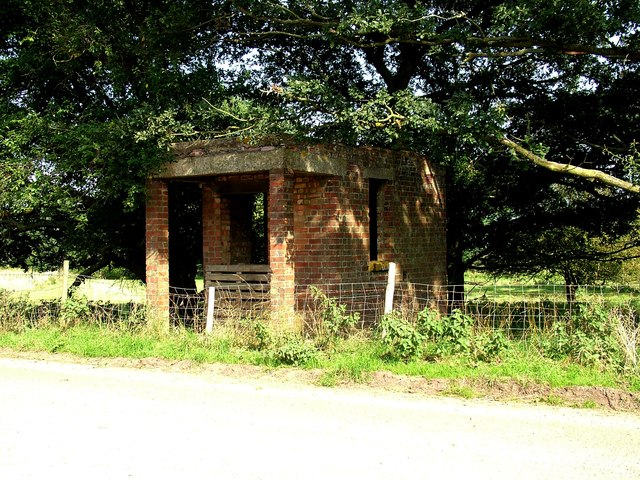
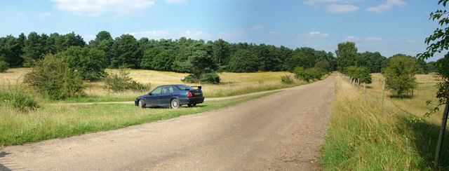
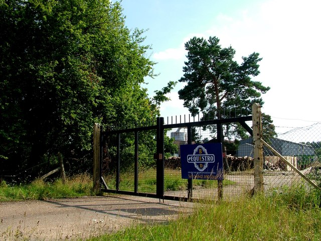
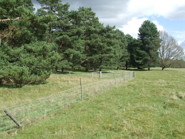
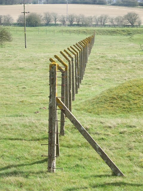
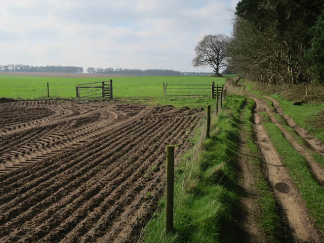
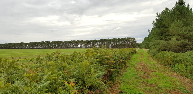
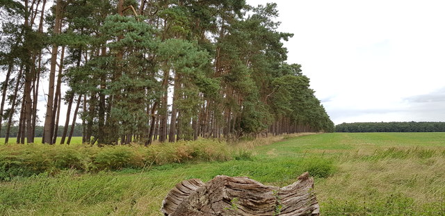
Breck Plantation Images

Images are sourced within 2km of 52.364638/0.70881646 or Grid Reference TL8477. Thanks to Geograph Open Source API. All images are credited.

Military building, Barnham The small Suffolk village of Barnham has been the home to several military establishments. This was evidently some form of guardhouse or checkpoint (officially a picket apparently) on Station Road, leading to the Little Heath Forward Filling Station. It is opposite Triangle Covert. 

For more details (a little out of date) 
<span class="nowrap"><a title="http://www.subbrit.org.uk/sb-sites/sites/l/little_heath_forward_filling_depot/index.shtml" rel="nofollow ugc noopener" href="http://www.subbrit.org.uk/sb-sites/sites/l/little_heath_forward_filling_depot/index.shtml">Link</a><img style="margin-left:2px;" alt="External link" title="External link - shift click to open in new window" src="https://s1.geograph.org.uk/img/external.png" width="10" height="10"/></span>
Military building, Barnham
The small Suffolk village of Barnham has been the home to several military establishments. This was evidently some form of guardhouse or checkpoint (officially a picket apparently) on Station Road, leading to the Little Heath Forward Filling Station. It is opposite Triangle Covert. For more details (a little out of date) LinkExternal link
Road to Little Heath military site, Barnham This is officially Station Road, although the station was far away at the northern end of it. It leads to the Little Heath military site, used for tank testing in WW1, chemical weapon storage in WW2 and after, then (illegal) storage of old tyres, then a tank museum, and now a company making wooden shavings for horse bedding. This photo was taken from the gate to the site, although the fence on the right encloses a larger ex-military area on that side, full of mysterious earthworks. On the left a dirt track turns off to curve round the western side of the site.

My MG ZS180 makes another Geograph appearance. 

The field on the left is designated as Open Access but the vegetation growth doesn't make access easy, suggesting it is not actually used.
Road to Little Heath military site, Barnham
This is officially Station Road, although the station was far away at the northern end of it. It leads to the Little Heath military site, used for tank testing in WW1, chemical weapon storage in WW2 and after, then (illegal) storage of old tyres, then a tank museum, and now a company making wooden shavings for horse bedding. This photo was taken from the gate to the site, although the fence on the right encloses a larger ex-military area on that side, full of mysterious earthworks. On the left a dirt track turns off to curve round the western side of the site. My MG ZS180 makes another Geograph appearance. The field on the left is designated as Open Access but the vegetation growth doesn't make access easy, suggesting it is not actually used.
Equestro Bed occupy former military site The Little Heath military site has had an interesting history - tank testing in WW1, chemical storage in WW2 and later, illegal tyre storage, a tank museum, and now Equestro, who appear to make horse bedding from wood.

For more of the history, slightly out of date, see <span class="nowrap"><a title="http://www.subbrit.org.uk/sb-sites/sites/l/little_heath_forward_filling_depot/index.shtml" rel="nofollow ugc noopener" href="http://www.subbrit.org.uk/sb-sites/sites/l/little_heath_forward_filling_depot/index.shtml">Link</a><img style="margin-left:2px;" alt="External link" title="External link - shift click to open in new window" src="https://s1.geograph.org.uk/img/external.png" width="10" height="10"/></span>
Equestro Bed occupy former military site
The Little Heath military site has had an interesting history - tank testing in WW1, chemical storage in WW2 and later, illegal tyre storage, a tank museum, and now Equestro, who appear to make horse bedding from wood. For more of the history, slightly out of date, see LinkExternal link
Crop fields south of Elveden Road
Fence And Trees Wire fence and trees near to Barnham, Suffolk.
Fence And Trees
Wire fence and trees near to Barnham, Suffolk.
Fence Posts Just the posts, the wire fencing has been removed or rusted away just leaving a line of concrete fence posts near to Barnham, Suffolk.
Fence Posts
Just the posts, the wire fencing has been removed or rusted away just leaving a line of concrete fence posts near to Barnham, Suffolk.
New Barnham Slip
New Barnham Slip
Sandgault Plantation
Byway from Elveden Road
Arable fields
Arable fields
New Barnham Slip
New Barnham Slip
Edge of The King's Forest To the left, sheltered and irrigated agricultural land, to the right conifer plantations.
Edge of The King's Forest
To the left, sheltered and irrigated agricultural land, to the right conifer plantations.
Scots Pine Windbreak These belts of trees were presumably planted to shelter the four diamond shaped fields they almost surround.
Scots Pine Windbreak
These belts of trees were presumably planted to shelter the four diamond shaped fields they almost surround.
Conifers at Four Corners I'm not sure what the Four Corners placename relates to but imagine it is parish boundaries, though only three civil parishes meet here now.
Conifers at Four Corners
I'm not sure what the Four Corners placename relates to but imagine it is parish boundaries, though only three civil parishes meet here now.
Pit Used as Off-roading Site This pit is evidently very popular with the users of 4x4 vehicles. Unlike the many other pits hereabouts, this one is very modern (less than 10 years old). This is the very edge of The King's Forest.
Pit Used as Off-roading Site
This pit is evidently very popular with the users of 4x4 vehicles. Unlike the many other pits hereabouts, this one is very modern (less than 10 years old). This is the very edge of The King's Forest.
Pit Used as Off-roading Site This pit is evidently very popular with the users of 4x4 vehicles. Unlike the many other pits hereabouts, this one is very modern (less than 10 years old). This is the very edge of The King's Forest and an old oak offers a great place to sit and watch the action.
Pit Used as Off-roading Site
This pit is evidently very popular with the users of 4x4 vehicles. Unlike the many other pits hereabouts, this one is very modern (less than 10 years old). This is the very edge of The King's Forest and an old oak offers a great place to sit and watch the action.
View along Elveden Road This lane is a byway but seems to have little traffic. On the right hand side is The King's Forest.
View along Elveden Road
This lane is a byway but seems to have little traffic. On the right hand side is The King's Forest.
Byway off Elveden Road This view is taken from the junction of the two byways. little has changed in 12 years <a href="https://www.geograph.org.uk/photo/206080">TL8476 : Byway junction</a>.
Byway off Elveden Road
This view is taken from the junction of the two byways. little has changed in 12 years TL8476 : Byway junction.
Show me another place!

Breck Plantation is located at Grid Ref: TL8477 (Lat: 52.364638, Lng: 0.70881646)

Administrative County: Suffolk

District: West Suffolk

Police Authority: Suffolk

What 3 Words

///decoded.seagulls.signed. Near Thetford, Norfolk

Nearby Locations

Breck Plantation

Related Wikis

Little Heath, Barnham

Little Heath, Barnham lies south-west of Barnham, Suffolk. Much of the area is now a Site of Special Scientific Interest, which almost surrounds the former...

Barnham railway station (Suffolk)

Barnham railway station is a former station in Barnham, Suffolk on a now closed line between Thetford and Bury St Edmunds. It was located close to the...

Barnham Windmill, Suffolk

Barnham Mill is a tower mill at Barnham, Suffolk, England which has been converted to residential accommodation. == History == Barnham Mill was built for...

Brandon Rural District

Brandon was a rural district in Suffolk, England from 1894 to 1935. The district was created in 1894 as the Suffolk part of the Thetford rural sanitary...

Thetford Heaths

Thetford Heaths is a 270.6-hectare (669-acre) biological and geological Site of Special Scientific Interest in Suffolk. It is a Nature Conservation Review...

Elveden Hall

Elveden Hall is a large stately home on the Elveden Estate in Elveden, Suffolk, England. The seat of the Earls of Iveagh, it is a Grade II* listed building...

Barnham, Suffolk

Barnham is a village and civil parish in the West Suffolk district of the English county of Suffolk about 3 miles (4.8 km) south of Thetford and 9 miles...

Elm Road Field, Thetford

Elm Road Field, Thetford is a 5-hectare (12-acre) biological Site of Special Scientific Interest on the southern outskirts of Thetford in Norfolk.This...

Have you been to Breck Plantation?

Leave your review of Breck Plantation below (or comments, questions and feedback).