Osier Plantation
Wood, Forest in Norfolk Breckland
England
Osier Plantation
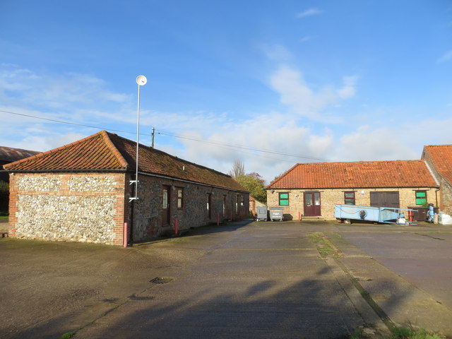
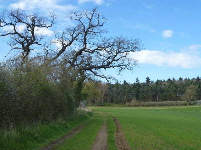
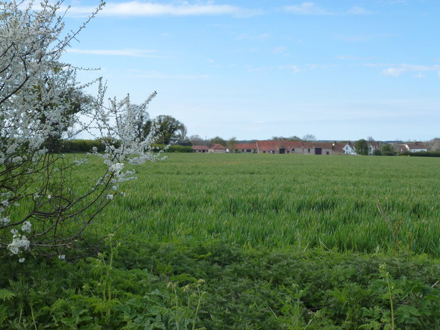
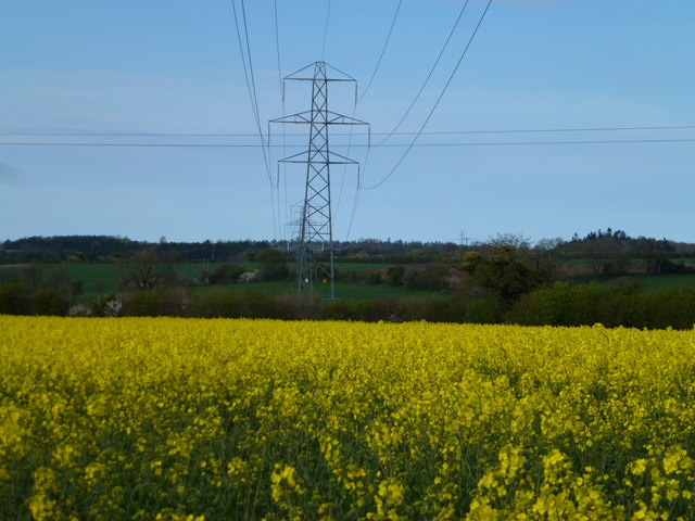
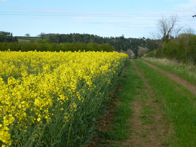
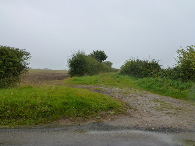
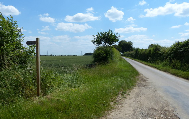
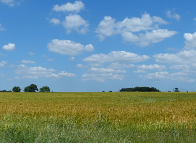
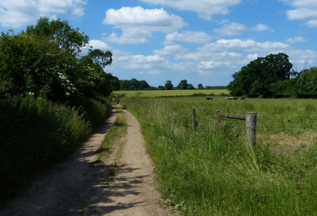
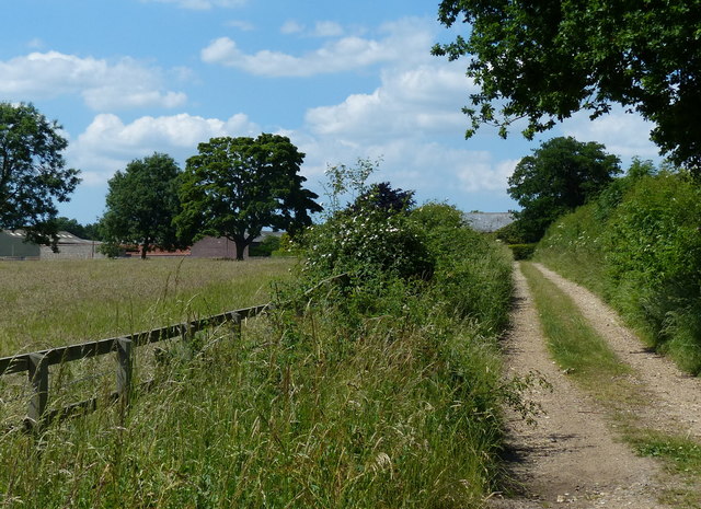
Osier Plantation, located in Norfolk, England, is a picturesque wood or forest area that spans over a vast expanse of land. It is known for its abundant growth of osier plants, which are a type of willow tree. The plantation is situated in a serene and peaceful setting, making it an ideal spot for nature enthusiasts and those seeking a tranquil escape.
The osier plants found in this plantation are cultivated for their flexible stems, which have a multitude of uses. They are commonly harvested and used in the production of baskets, furniture, and even musical instruments. The plantation's rich soil and favorable climate provide the perfect conditions for these plants to thrive.
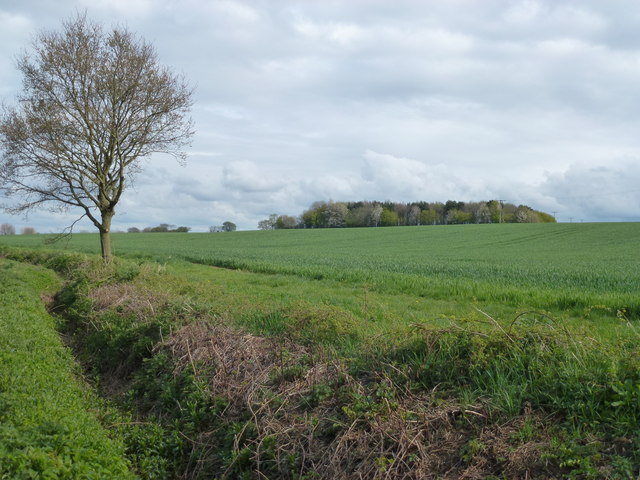
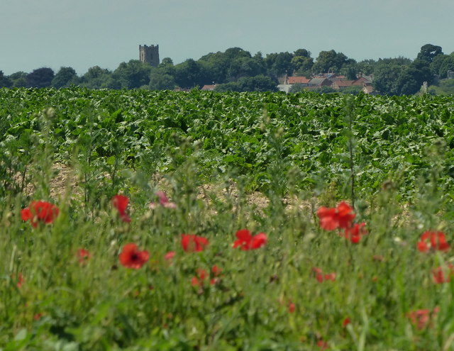
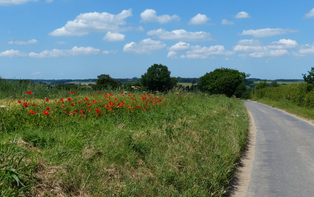
The woodland itself is dense and vibrant, with a variety of other tree species intermingled with the osier plants. As visitors explore the plantation, they will come across a diverse range of flora and fauna, including oak, birch, and hazel trees. Wildflowers dot the landscape, creating a colorful tapestry during the spring and summer months.
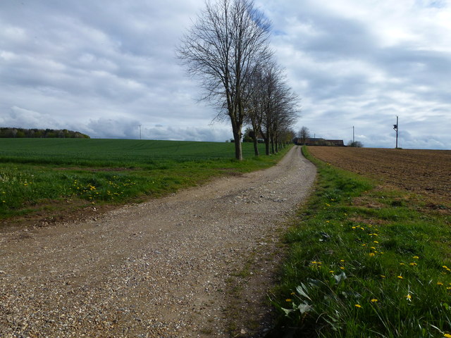
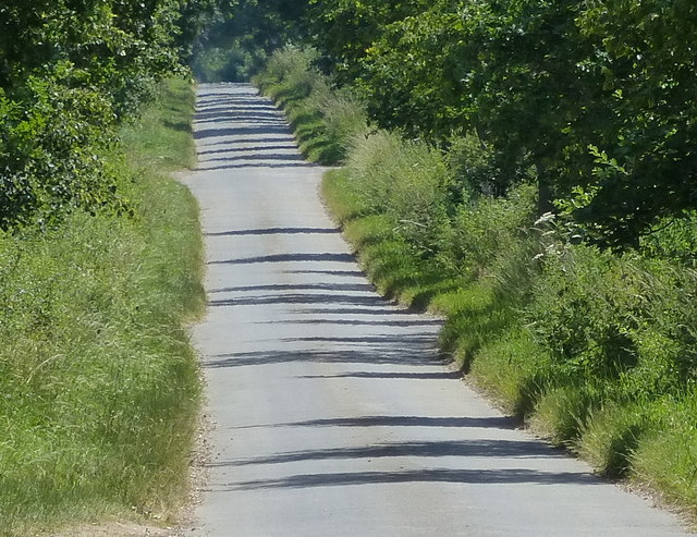
The plantation offers several walking trails and pathways, allowing visitors to explore its natural beauty at their own pace. It is also a popular spot for birdwatching, as the wood is home to a wide array of bird species, including woodpeckers and owls.
Overall, Osier Plantation in Norfolk is a haven for nature lovers, offering a serene and picturesque environment filled with osier plants, diverse wildlife, and scenic walking trails. It provides an opportunity to connect with nature and experience the tranquility of a wood or forest setting.
If you have any feedback on the listing, please let us know in the comments section below.
Osier Plantation Images
Images are sourced within 2km of 52.688606/0.72545944 or Grid Reference TF8413. Thanks to Geograph Open Source API. All images are credited.
Osier Plantation is located at Grid Ref: TF8413 (Lat: 52.688606, Lng: 0.72545944)
Administrative County: Norfolk
District: Breckland
Police Authority: Norfolk
What 3 Words
///unwell.wiggling.proofread. Near Swaffham, Norfolk
Nearby Locations
Related Wikis

Sporle railway station
Sporle railway station was located on the line between Swaffham and Dunham. It opened with the line in 1847 and was temporarily the terminus of the line...
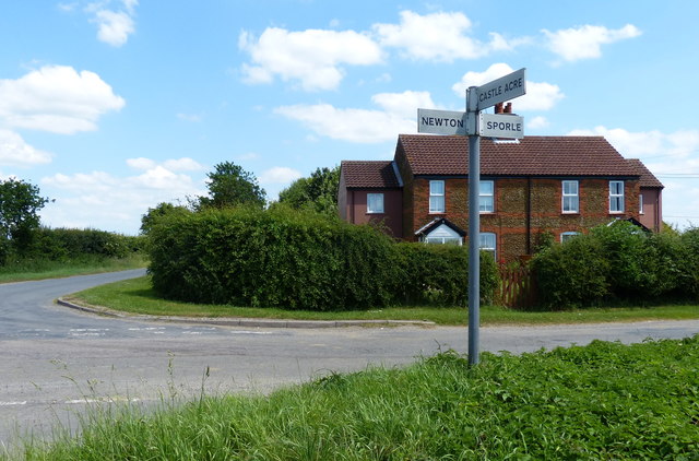
Newton by Castle Acre
Newton by Castle Acre is a village, Anglican parish and civil parish in the Breckland district of the English county of Norfolk. It is situated on the...
Sporle with Palgrave
Sporle with Palgrave is a civil parish in the English county of Norfolk. It covers an area of 17.21 km2 (6.64 sq mi) and had a population of 1,038 in 442...

Dunham railway station
Dunham railway station was located in Little Dunham, Norfolk on the Great Eastern Railway line between Swaffham and Dereham. It closed in 1968 . Beeching...

Little Dunham
Little Dunham is a village situated in the Breckland District of Norfolk and covers an area of 749 hectares (2.9 square miles) with a population of 309...
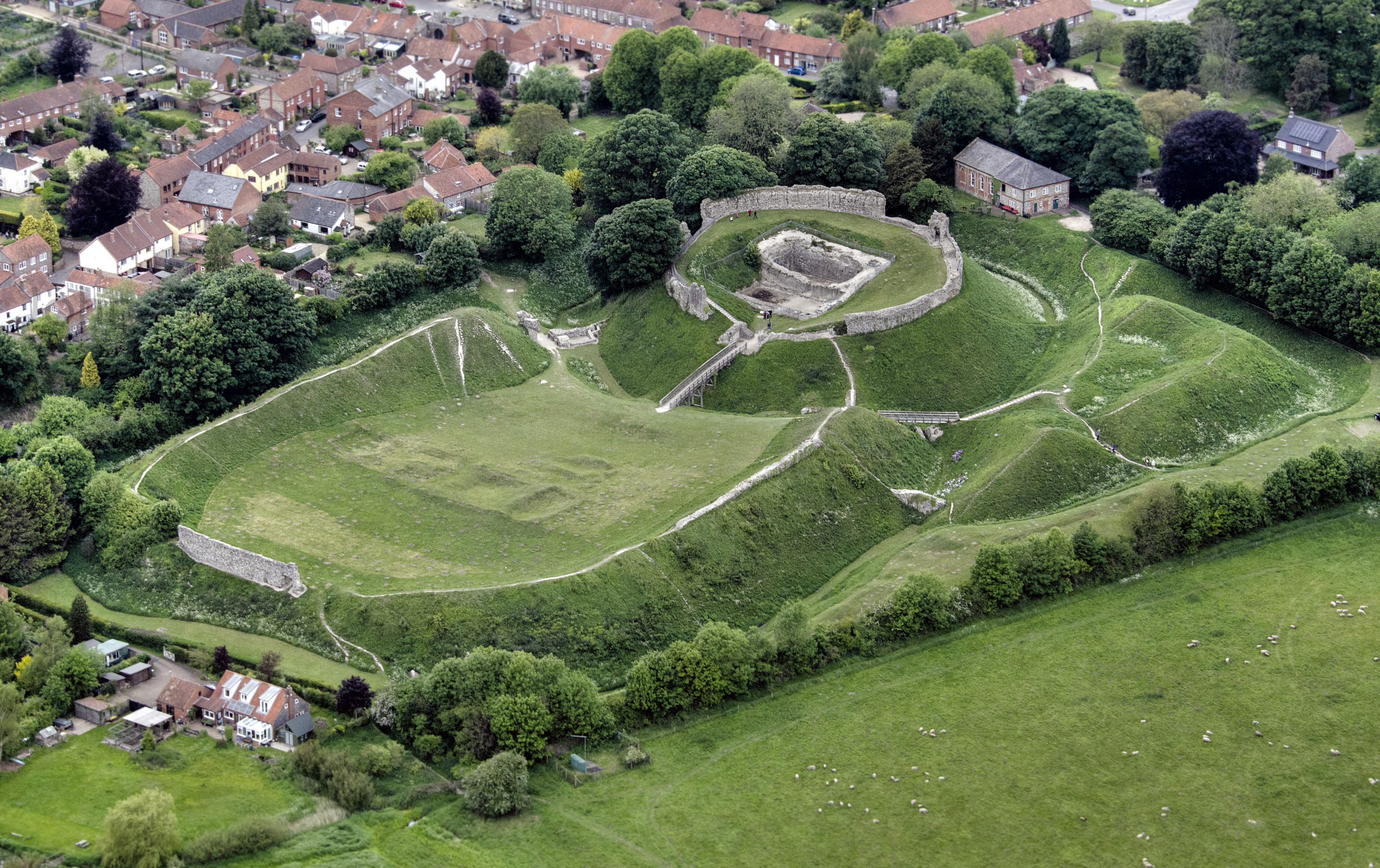
Castle Acre Castle and town walls
Castle Acre Castle and town walls are a set of ruined medieval defences built in the village of Castle Acre, Norfolk. The castle was built soon after the...

Castle Acre
Castle Acre is a village and civil parish in the English county of Norfolk. The village is situated on the River Nar some 4 miles (6.4 km) north of the...

Castle Acre Priory
Castle Acre Priory was a Cluniac priory in the village of Castle Acre, Norfolk, England, dedicated to St Mary, St Peter, and St Paul. It is thought to...
Nearby Amenities
Located within 500m of 52.688606,0.72545944Have you been to Osier Plantation?
Leave your review of Osier Plantation below (or comments, questions and feedback).