Hoyle's Grove
Wood, Forest in Suffolk Babergh
England
Hoyle's Grove
Hoyle's Grove is a picturesque woodland located in Suffolk, England. Situated near the village of Hoyle, the grove covers an area of approximately 200 acres, making it a significant natural attraction in the region. The woodland is known for its stunning variety of trees, including oak, beech, and birch, creating a dense and vibrant forest ecosystem.
Visitors to Hoyle's Grove are greeted by a well-maintained network of trails that wind through the woods, providing opportunities for leisurely walks and exploration. The paths are surrounded by a lush undergrowth of ferns, wildflowers, and moss, enhancing the natural beauty of the area. Birdsong fills the air, as the grove is home to a diverse range of avian species, making it a haven for birdwatchers.
The woodland is also home to a rich assortment of wildlife, including deer, foxes, and rabbits. Keen-eyed visitors may also spot the occasional badger or hedgehog scurrying through the underbrush. A variety of insects, such as butterflies and beetles, can be observed in their natural habitats, adding to the biodiversity of the grove.
Hoyle's Grove offers a serene and tranquil atmosphere, providing an ideal escape from the hustle and bustle of everyday life. Its natural beauty, combined with the peaceful ambiance, makes it a popular destination for nature enthusiasts, photographers, and those seeking solace in the great outdoors. Whether it is a leisurely stroll, a picnic in a clearing, or simply immersing oneself in the tranquility of nature, Hoyle's Grove is sure to offer a memorable experience for all who visit.
If you have any feedback on the listing, please let us know in the comments section below.
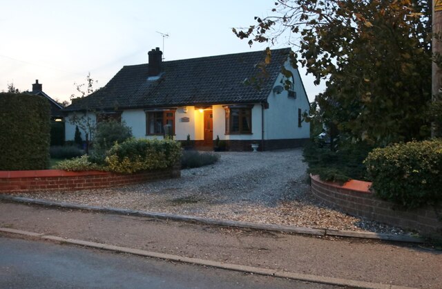
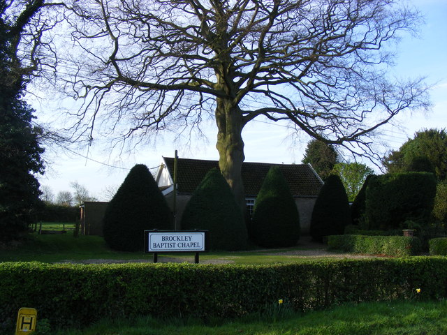
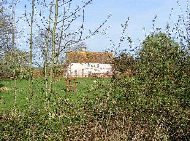
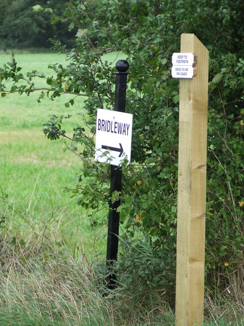
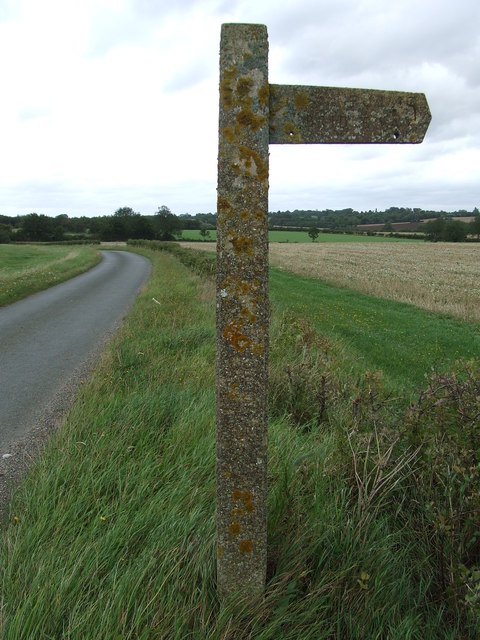
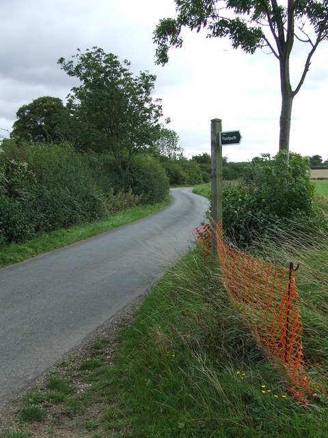
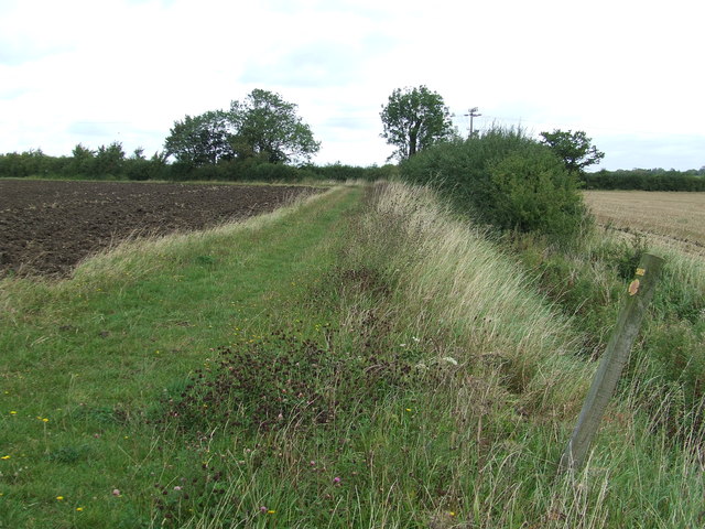
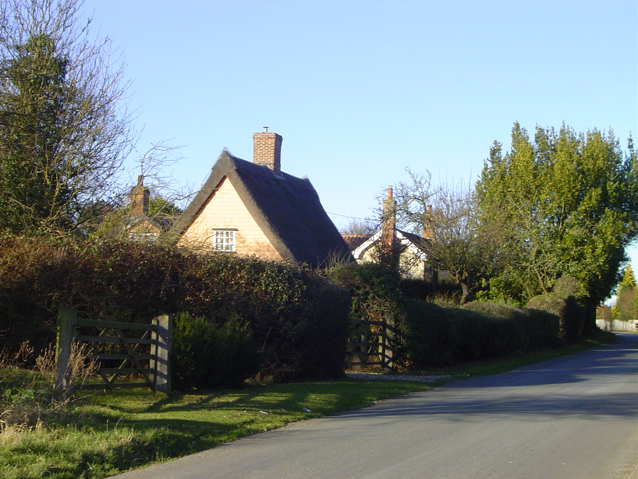
Hoyle's Grove Images
Images are sourced within 2km of 52.163864/0.69310655 or Grid Reference TL8455. Thanks to Geograph Open Source API. All images are credited.


Hoyle's Grove is located at Grid Ref: TL8455 (Lat: 52.163864, Lng: 0.69310655)
Administrative County: Suffolk
District: Babergh
Police Authority: Suffolk
What 3 Words
///functions.zoned.fixed. Near Glemsford, Suffolk
Nearby Locations
Related Wikis

Lambs Lane, Lawshall
Lambs Lane is a nuclear settlement in the civil parish of Lawshall in the Babergh district in the county of Suffolk, England. In addition to Lambs Lane...
Harrow Green
Harrow Green is a hamlet in the civil parish of Lawshall in the Babergh district in the county of Suffolk, England. It is located between Lambs Lane and...
Coldham Cottage
The Church of Our Lady Immaculate and St Joseph, otherwise known as Coldham Cottage is the oldest continuing Roman Catholic church in Suffolk. It is in...

Brockley, Suffolk
Brockley (not to be confused with Brockley Green, 8 miles (13 km) southwest in Hundon parish) is a village and civil parish in the West Suffolk district...
Nearby Amenities
Located within 500m of 52.163864,0.69310655Have you been to Hoyle's Grove?
Leave your review of Hoyle's Grove below (or comments, questions and feedback).