Bolton's Wood
Wood, Forest in Kent Maidstone
England
Bolton's Wood

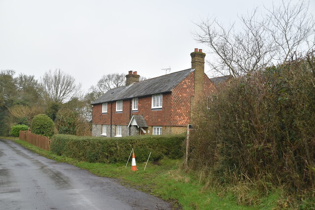
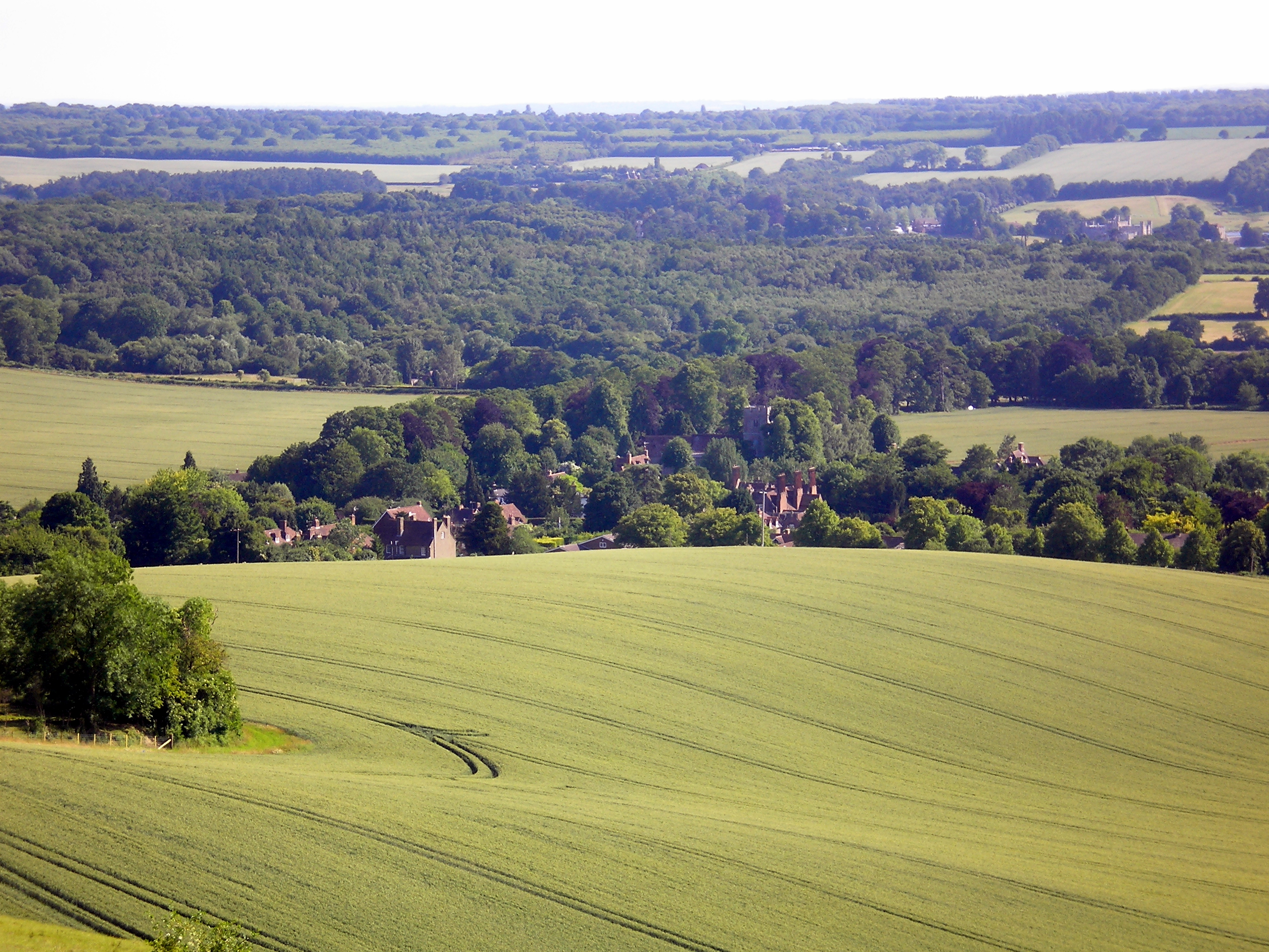
Bolton's Wood, located in the county of Kent, England, is a picturesque and ancient forest that offers a serene and enchanting experience for nature lovers and outdoor enthusiasts. Covering an area of approximately 100 hectares, this woodland is a haven for wildlife and boasts a rich biodiversity.
The wood is predominantly made up of broadleaf trees, including oak, beech, and ash, which create a dense and majestic canopy that provides shade and shelter. The forest floor is adorned with a carpet of wildflowers, such as bluebells and primroses, adding a burst of color to the landscape during the spring season.
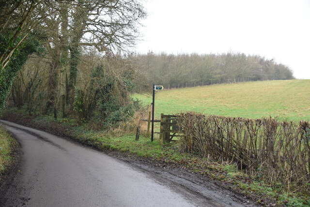
Numerous footpaths and trails crisscross the wood, allowing visitors to explore its beauty at their own pace. As they wander through the ancient trees, visitors may spot an array of wildlife, including deer, foxes, badgers, and a variety of bird species. Bolton's Wood is also home to a diverse range of insects and small mammals, contributing to its ecological significance.
In addition to its natural splendor, the wood holds historical importance. It is believed to have been in existence since medieval times and has witnessed centuries of human activity. The remnants of old boundary walls and structures can still be found within the wood, providing a glimpse into its past.
Whether it is a peaceful stroll, birdwatching, or simply immersing oneself in the tranquility of nature, Bolton's Wood offers a serene and idyllic retreat for all who visit. Its natural beauty and historical significance make it a treasured destination for both locals and tourists alike.
If you have any feedback on the listing, please let us know in the comments section below.
Bolton's Wood Images
Images are sourced within 2km of 51.283638/0.639601 or Grid Reference TQ8457. Thanks to Geograph Open Source API. All images are credited.


Bolton's Wood is located at Grid Ref: TQ8457 (Lat: 51.283638, Lng: 0.639601)
Administrative County: Kent
District: Maidstone
Police Authority: Kent
What 3 Words
///jacuzzi.studs.roofed. Near Harrietsham, Kent
Nearby Locations
Related Wikis

Hucking
Hucking is a small hamlet and civil parish in the Maidstone District of Kent, England. It is located 4 miles (6.4 km) north-east of Maidstone and 5 miles...

Hollingbourne Downs
Hollingbourne Downs is a 60.9-hectare (150-acre) biological Site of Special Scientific Interest east of Maidstone in Kent.This escarpment has unimproved...
Hollingbourne
Hollingbourne is a village and civil parish in the borough of Maidstone in Kent, England. The parish is located on the southward slope of the North Downs...
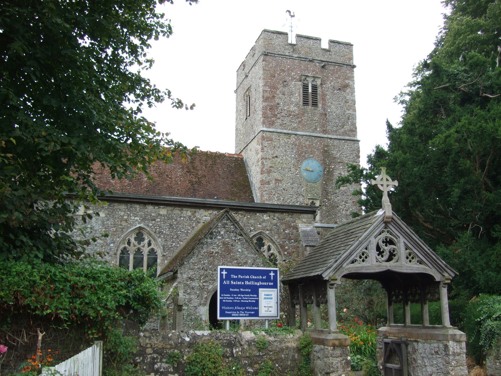
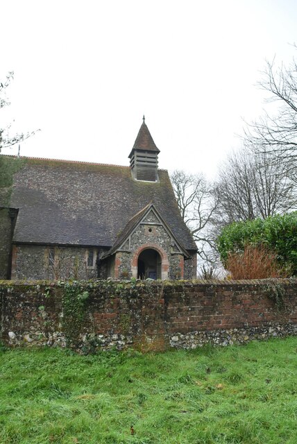
All Saints Church, Hollingbourne
All Saints Church is a parish church in Hollingbourne, Kent. It was begun in the 14th century and is a Grade I listed building. The church contains numerous...
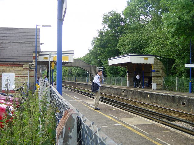
Hollingbourne railway station
Hollingbourne railway station serves Hollingbourne in Kent, England. It was opened in 1884 and is 45 miles 2 chains (72.5 km) down the line from London...

Snagbrook House
Snagbrook House is a grade II listed house in Hollingbourne, near Maidstone, in the county of Kent, England. It dates from the 16th century but has a 19th...

Bicknor
Bicknor is a village and civil parish in the Maidstone district of Kent, England, north-east of Maidstone and south-west of Sittingbourne. It had a population...

Maidstone services
Maidstone services are a motorway service station directly off Junction 8 of the M20 motorway near Maidstone, England, owned by Roadchef. They were the...
Nearby Amenities
Located within 500m of 51.283638,0.639601Have you been to Bolton's Wood?
Leave your review of Bolton's Wood below (or comments, questions and feedback).