Threefields Wood
Wood, Forest in Essex Braintree
England
Threefields Wood
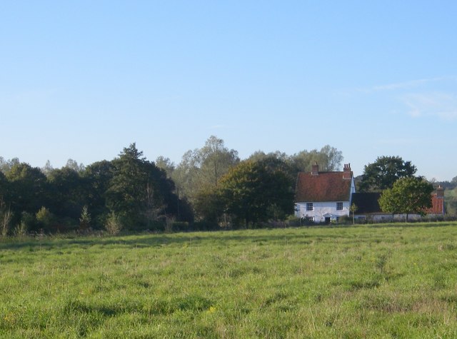
Threefields Wood is a picturesque woodland located in Essex, England. Spanning over 100 acres, this ancient forest is a haven for nature enthusiasts and outdoor lovers alike. The wood is situated near the village of Hatfield Heath, providing a peaceful retreat from the bustling city life.
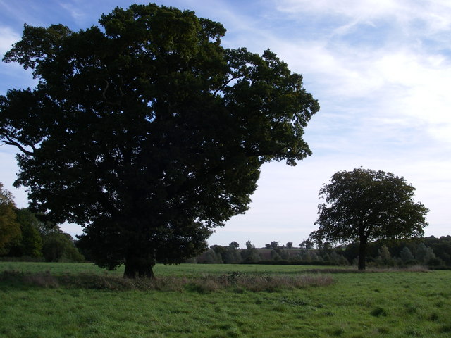
The woodland is primarily composed of oak and beech trees, which create a dense canopy overhead, casting a dappled light on the forest floor. The lush undergrowth is home to a diverse range of flora, including bluebells, primroses, and ferns, adding a splash of color to the surroundings.
Threefields Wood is renowned for its rich biodiversity. It serves as a habitat for various wildlife species, including deer, badgers, foxes, and a plethora of bird species. Birdwatchers can spot woodpeckers, owls, and warblers among the treetops. The tranquil ambiance and abundance of wildlife make it an ideal spot for nature photography and birdwatching activities.
The wood is crisscrossed by well-maintained footpaths, allowing visitors to explore and discover its hidden treasures. One popular route is the Threefields Wood Circular Walk, which takes visitors on a scenic journey through the forest, passing by ancient trees, babbling brooks, and enchanting clearings.
Threefields Wood is not only a place of natural beauty but also holds historical significance. The woodland has existed for centuries and has been mentioned in historical documents dating back to the 16th century. It has served as a source of timber for local communities and witnessed various historical events.
Overall, Threefields Wood offers a serene escape into nature, providing an opportunity to connect with the environment and appreciate the beauty of Essex's woodlands.
If you have any feedback on the listing, please let us know in the comments section below.
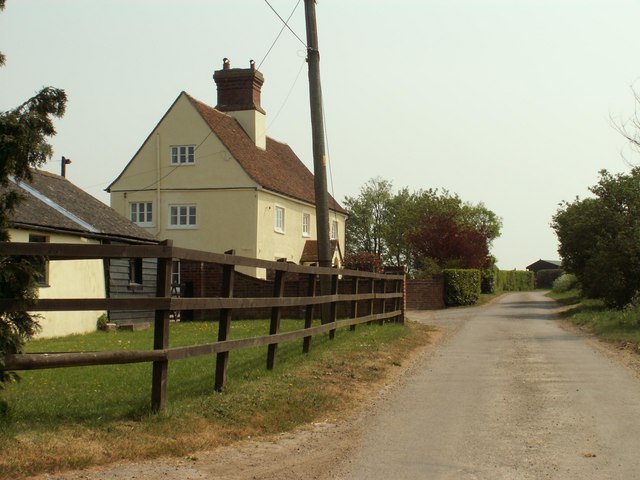
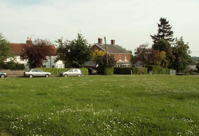
Threefields Wood Images
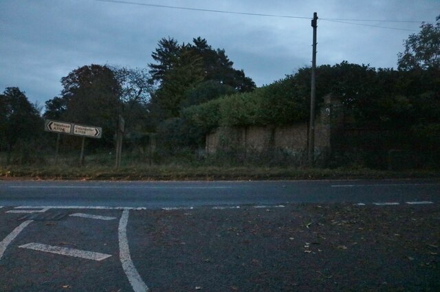
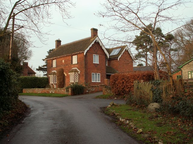
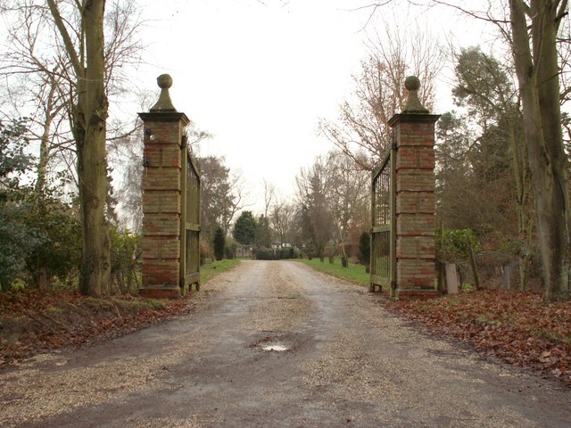
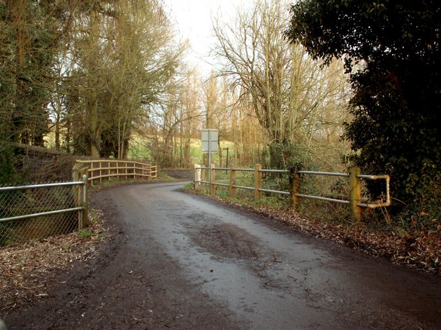
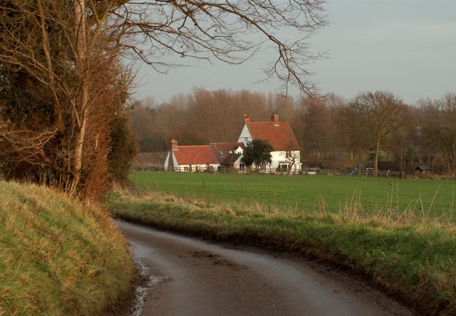
Images are sourced within 2km of 51.949298/0.67466769 or Grid Reference TL8331. Thanks to Geograph Open Source API. All images are credited.
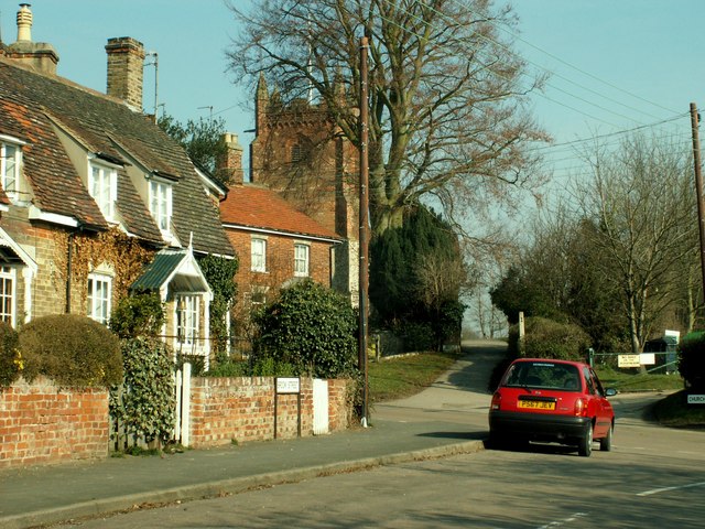
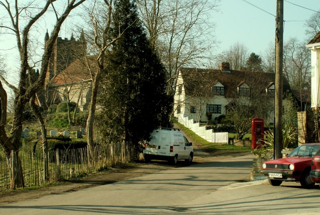

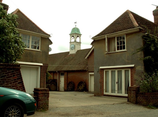


Threefields Wood is located at Grid Ref: TL8331 (Lat: 51.949298, Lng: 0.67466769)
Administrative County: Essex
District: Braintree
Police Authority: Essex
What 3 Words
///supporter.scorched.tricky. Near Halstead, Essex
Nearby Locations
Related Wikis

Colne Engaine
Colne Engaine is a village and a civil parish in Essex, England, situated just north of the River Colne and of the larger village of Earls Colne, approximately...

Earls Colne railway station
Earls Colne railway station was located in Earls Colne, Essex. It was 53 miles 77 chains (86.84 km) from London Liverpool Street via Marks Tey. == References... ==

The Ramsey Academy
The Ramsey Academy is a coeducational secondary school with academy status, located in Halstead, Essex, England. == History == In 1975 three local schools...

Greenstead Green and Halstead Rural
Greenstead Green and Halstead Rural is a civil parish in the Braintree district, in the county of Essex, England. The parish includes the village of Greenstead...
Have you been to Threefields Wood?
Leave your review of Threefields Wood below (or comments, questions and feedback).