Nut Grove
Wood, Forest in Norfolk Breckland
England
Nut Grove

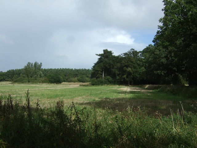
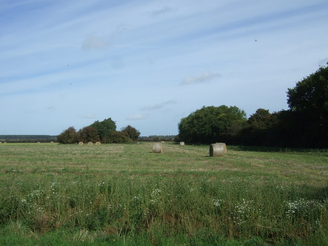
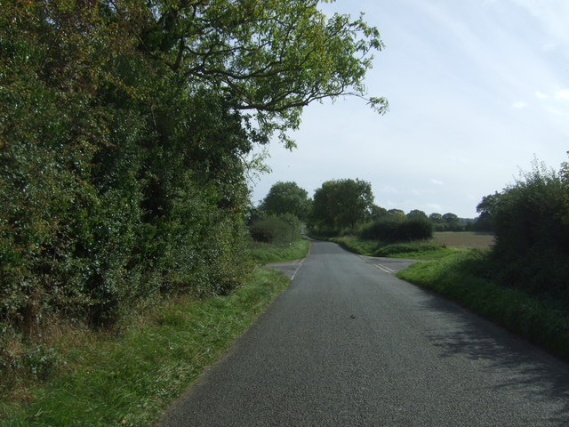
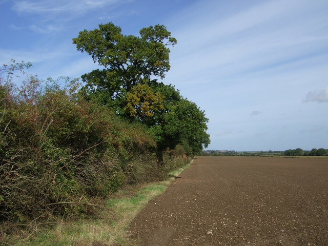
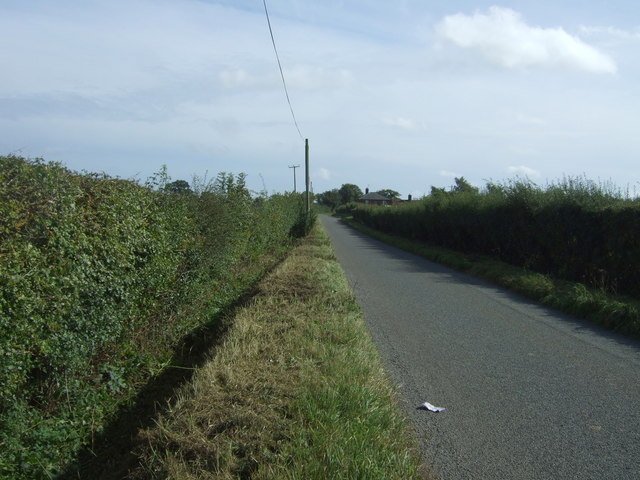
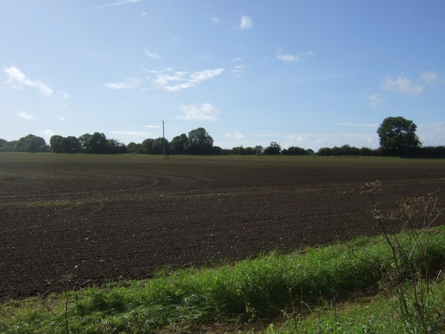
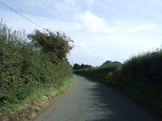
Nut Grove, Norfolk is a picturesque wood located in the county of Norfolk, England. Situated just outside the village of Nut Grove, the forest covers an area of approximately 100 acres, providing a serene and tranquil escape for nature enthusiasts and local residents alike.
The wood is characterized by its dense canopy of towering trees, predominantly oak and beech, which provide a sense of shelter and seclusion within its boundaries. The woodland floor is adorned with a rich variety of flora, including bluebells, wild garlic, and ferns, creating a vibrant and ever-changing carpet of colors throughout the seasons.
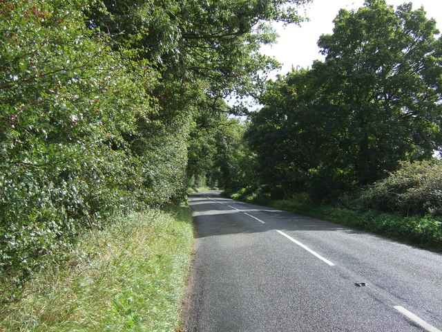
Several well-maintained footpaths wind their way through Nut Grove, allowing visitors to explore its diverse ecosystem. These paths meander through sun-dappled clearings, babbling brooks, and small ponds, offering opportunities for wildlife spotting and birdwatching. The forest is home to a variety of species, including deer, foxes, and a wide array of birdlife, making it a haven for wildlife enthusiasts.
In recent years, Nut Grove has become a popular destination for outdoor activities such as hiking, picnicking, and nature photography. The forest also offers designated camping areas for those who wish to spend a night under the stars. Local authorities have taken steps to preserve the natural beauty of the wood, ensuring that it remains protected for future generations to enjoy.
Overall, Nut Grove, Norfolk is a hidden gem that showcases the beauty of England's woodlands. Its serene atmosphere, diverse wildlife, and stunning natural scenery make it a must-visit destination for anyone seeking a peaceful retreat in the heart of nature.
If you have any feedback on the listing, please let us know in the comments section below.
Nut Grove Images
Images are sourced within 2km of 52.752647/0.72201718 or Grid Reference TF8320. Thanks to Geograph Open Source API. All images are credited.


Nut Grove is located at Grid Ref: TF8320 (Lat: 52.752647, Lng: 0.72201718)
Administrative County: Norfolk
District: Breckland
Police Authority: Norfolk
What 3 Words
///ballroom.research.wired. Near Swaffham, Norfolk
Related Wikis

Rougham, Norfolk
Rougham is a village and civil parish in the English county of Norfolk. It covers an area of 10.85 km2 (4.19 sq mi) and had a population of 152 in 69 households...

Weasenham All Saints
Weasenham All Saints is a civil parish in the English county of Norfolk. It covers an area of 8.16 km2 (3.15 sq mi) and had a population of 178 in 76 households...

Weasenham St Peter
Weasenham St Peter is a village and civil parish in the English county of Norfolk. It covers an area of 5.79 km2 (2.24 sq mi) and had a population of 166...

Lexham
Lexham is a parish consisting of the twin villages of East Lexham and West Lexham situated in the Breckland District of Norfolk and covers an area of 9...

West Lexham
West Lexham is a village and former civil parish, now in the parish of Lexham, in the Breckland district, in the county of Norfolk, England. It is 5.9...

Wellingham
Wellingham is a village and civil parish in the English county of Norfolk. It covers an area of 4.39 km2 (1.69 sq mi) and had a population of 55 in 27...
RAF West Raynham
Royal Air Force West Raynham, or more simply RAF West Raynham, is a former Royal Air Force station located 2 miles (3.2 km) west of West Raynham, Norfolk...
East Lexham
East Lexham is a village and former civil parish, now in the parish of Lexham, in the Breckland district, in the English county of Norfolk. It is 7.7 miles...
Have you been to Nut Grove?
Leave your review of Nut Grove below (or comments, questions and feedback).