Ash Plantation
Wood, Forest in Suffolk West Suffolk
England
Ash Plantation
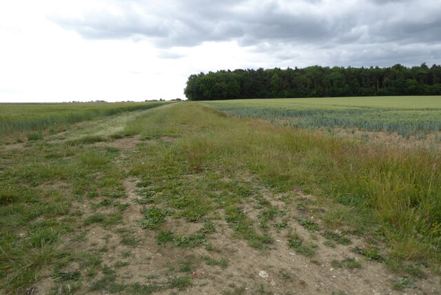
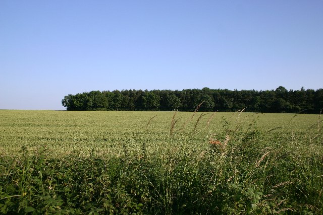
Ash Plantation is a woodland located in the county of Suffolk, England. Situated near the village of Ashbocking, it covers an area of approximately 100 acres. The plantation consists primarily of ash trees, hence the name, although there are also other species of trees present such as oak and birch.
The woodland is characterized by its dense, lush vegetation and rich biodiversity. It is home to a wide variety of plant and animal species, making it an important habitat for wildlife. The trees provide a haven for birds, including woodpeckers, thrushes, and owls, while small mammals like squirrels, rabbits, and hedgehogs can also be found within its boundaries.
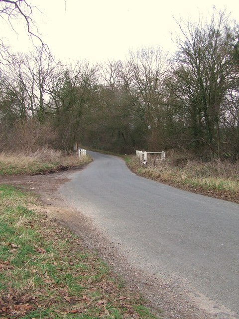
Ash Plantation is a popular destination for nature lovers and outdoor enthusiasts. It offers a range of recreational activities, such as walking, hiking, and birdwatching. There are several well-maintained trails that wind through the woodland, providing visitors with the opportunity to explore its beauty at their own pace.
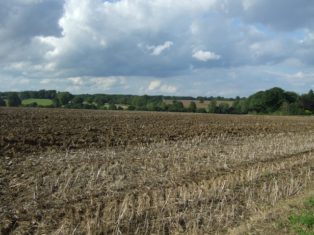
In addition to its natural beauty, the woodland also has historical significance. It is believed to have been managed as a plantation for centuries, with evidence of human activity dating back to the medieval period. The trees have been selectively harvested over the years, contributing to the diverse age structure of the woodland.
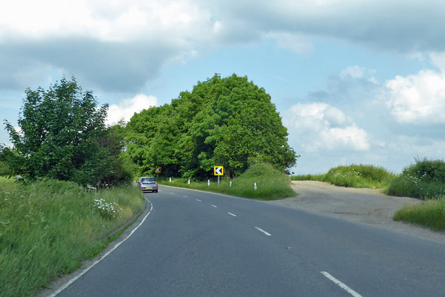
Overall, Ash Plantation in Suffolk is a picturesque woodland that provides a tranquil escape for visitors, while also supporting a diverse array of plant and animal life.
If you have any feedback on the listing, please let us know in the comments section below.
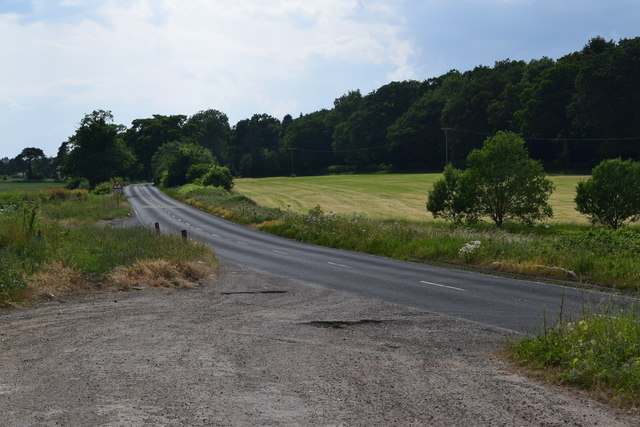
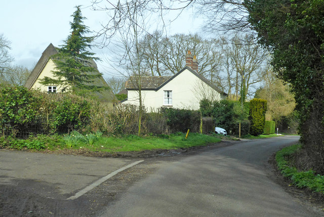
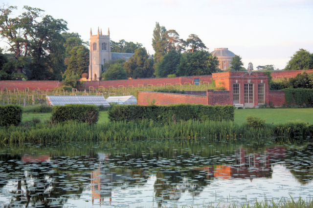
Ash Plantation Images
Images are sourced within 2km of 52.214249/0.68848303 or Grid Reference TL8360. Thanks to Geograph Open Source API. All images are credited.


Ash Plantation is located at Grid Ref: TL8360 (Lat: 52.214249, Lng: 0.68848303)
Administrative County: Suffolk
District: West Suffolk
Police Authority: Suffolk
What 3 Words
///credited.hound.keyboards. Near Bury St Edmunds, Suffolk
Nearby Locations
Related Wikis
Ickworth
Ickworth is a small civil parish, almost coextensive with the estate of the National Trust's Ickworth House, in the West Suffolk district of Suffolk, eastern...

Horringer
Horringer, formerly also called Horningsheath, is a village and civil parish in the West Suffolk district of Suffolk in eastern England. It lies on the...
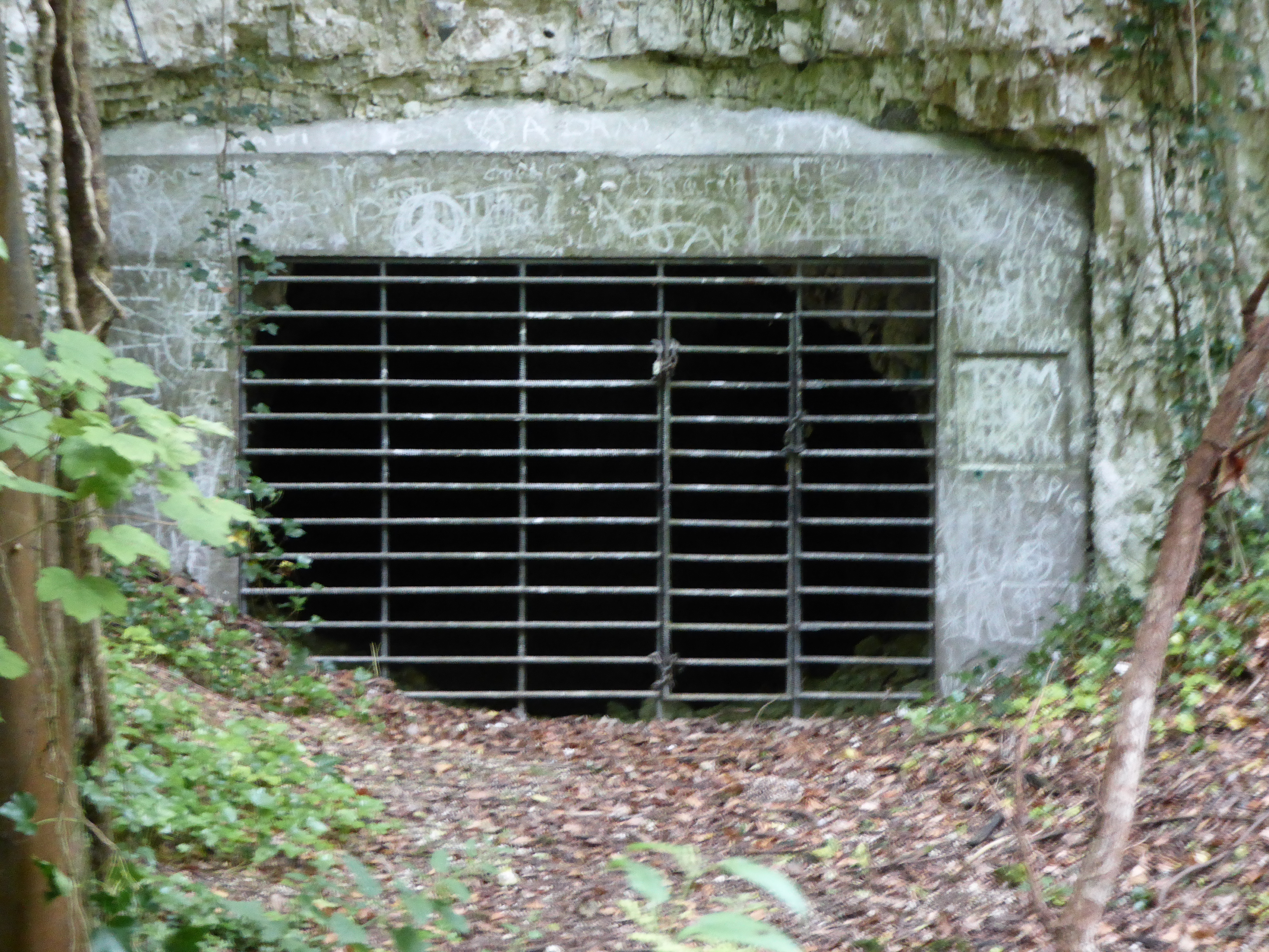
Horringer Court Caves
Horringer Court Caves is a 3.8-hectare (9.4-acre) biological Site of Special Scientific Interest on the southern outskirts of Bury St Edmunds in Suffolk...

Hardwick House, Suffolk
Hardwick House was a manor house near Bury St Edmunds, Suffolk, owned by Sir Robert Drury, Speaker of the House of Commons, of Hawstead Place. It was subsequently...

Ickworth House
Ickworth House is a country house at Ickworth, near Bury St Edmunds, Suffolk, England. It is a neoclassical building set in parkland. The house was the...
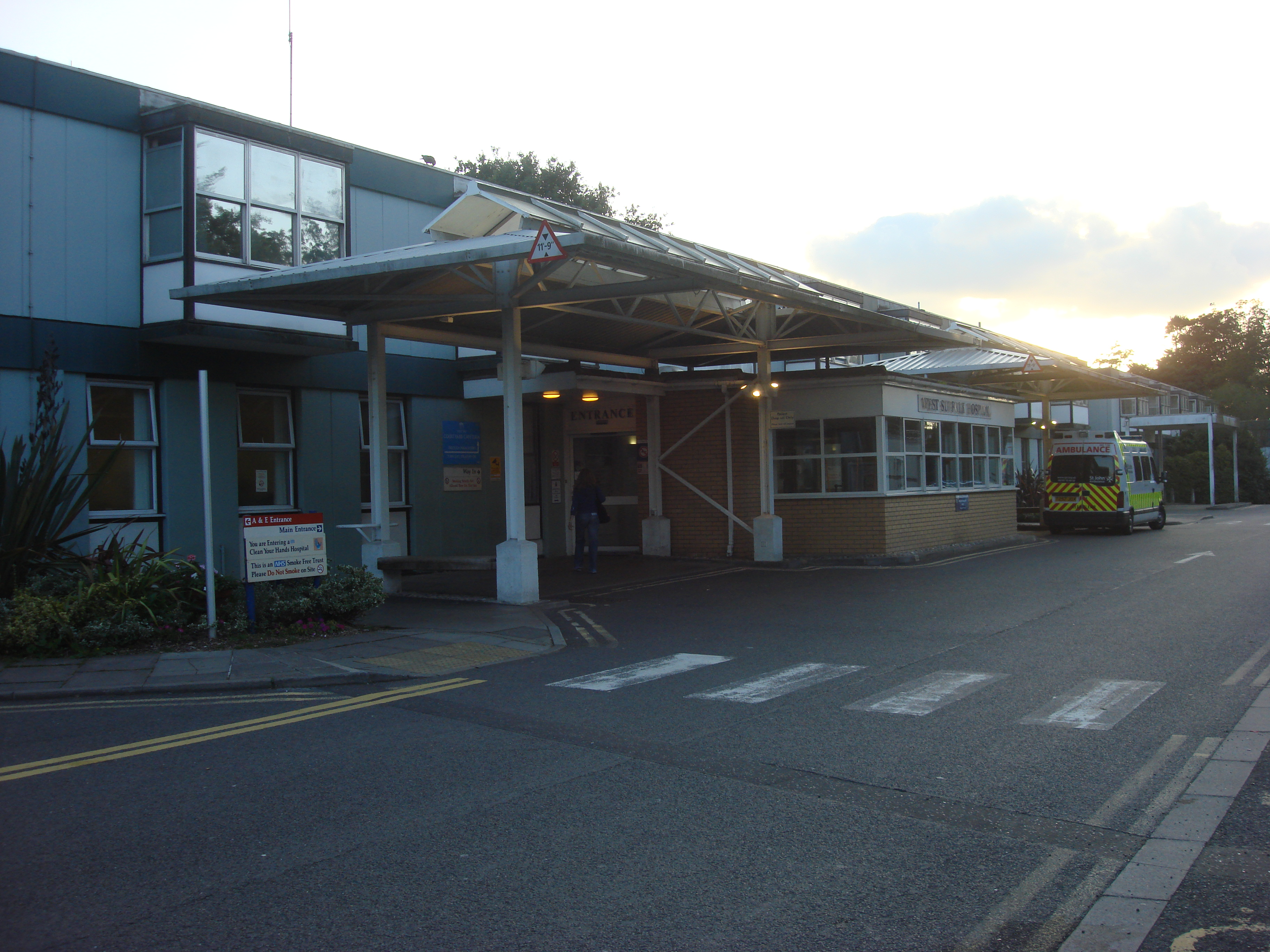
West Suffolk Hospital
West Suffolk Hospital is a small district general hospital in Bury St Edmunds, England. It is managed by the West Suffolk NHS Foundation Trust. == History... ==

St Mary's Church, Ickworth
Ickworth Church (more formally known as St Mary's Church, Ickworth) is a former parish church in Ickworth Park near Bury St Edmunds in Suffolk, England...

Whepstead
Whepstead is a village and civil parish in the West Suffolk district of Suffolk in eastern England, located south of Bury St Edmunds. Once the property...
Nearby Amenities
Located within 500m of 52.214249,0.68848303Have you been to Ash Plantation?
Leave your review of Ash Plantation below (or comments, questions and feedback).