Ash Plantation
Wood, Forest in Sussex Rother
England
Ash Plantation
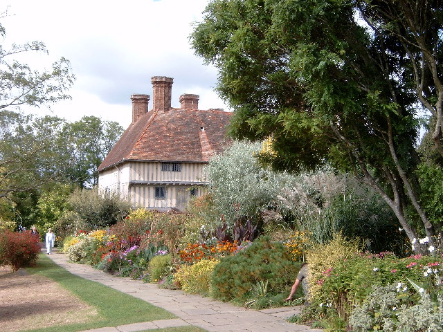
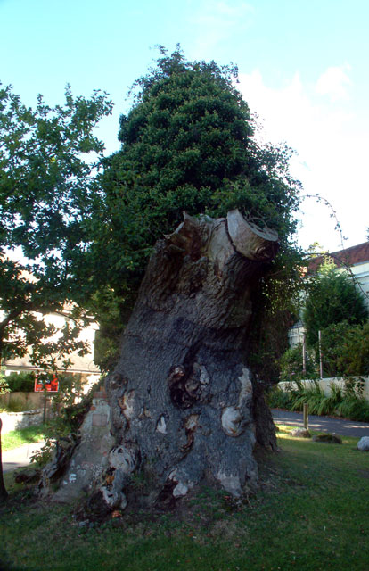
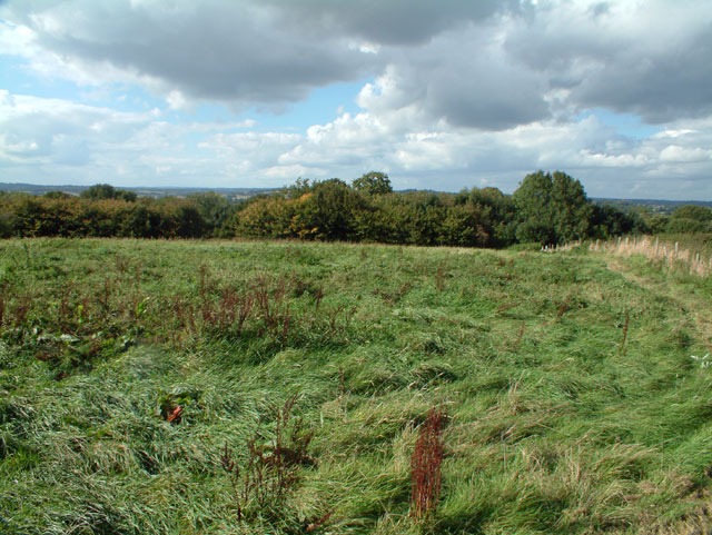
Ash Plantation is a picturesque woodland located in Sussex, England. Covering an area of approximately 100 acres, it is a well-preserved example of a traditional English plantation. The woodland is predominantly composed of ash trees, hence its name, but also includes other native species such as oak, birch, and beech.
The plantation boasts a diverse ecosystem, supporting a variety of flora and fauna. The forest floor is adorned with a rich carpet of bluebells and foxgloves during the spring months, creating a stunning display of colors. The dense canopy of the trees provides a suitable habitat for numerous bird species, including woodpeckers, owls, and various songbirds.
Visitors to Ash Plantation can enjoy a network of well-maintained footpaths that meander through the woodland, offering a chance to explore its natural beauty. The paths are suitable for all abilities, making it an ideal destination for families, nature enthusiasts, and walkers alike.
In addition to its natural charm, Ash Plantation also holds historical significance. It is believed to have been used as a hunting ground by the local nobility during the medieval period. Remnants of ancient hunting lodges and deer stands can still be found scattered throughout the woodland, providing a glimpse into its past.
Overall, Ash Plantation is a tranquil and enchanting woodland, offering visitors a serene escape from the bustle of everyday life. Its lush vegetation, abundant wildlife, and historical remnants make it a must-visit destination for nature lovers and history enthusiasts in Sussex.
If you have any feedback on the listing, please let us know in the comments section below.
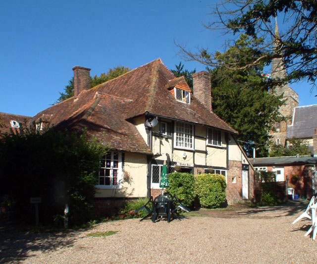
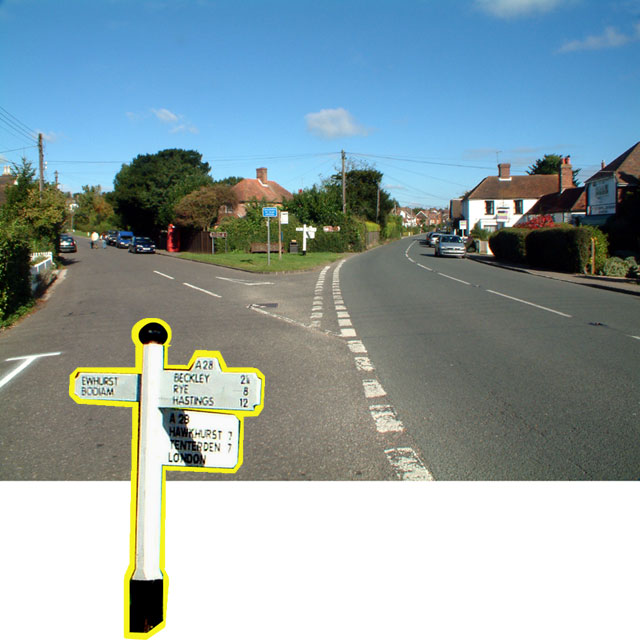
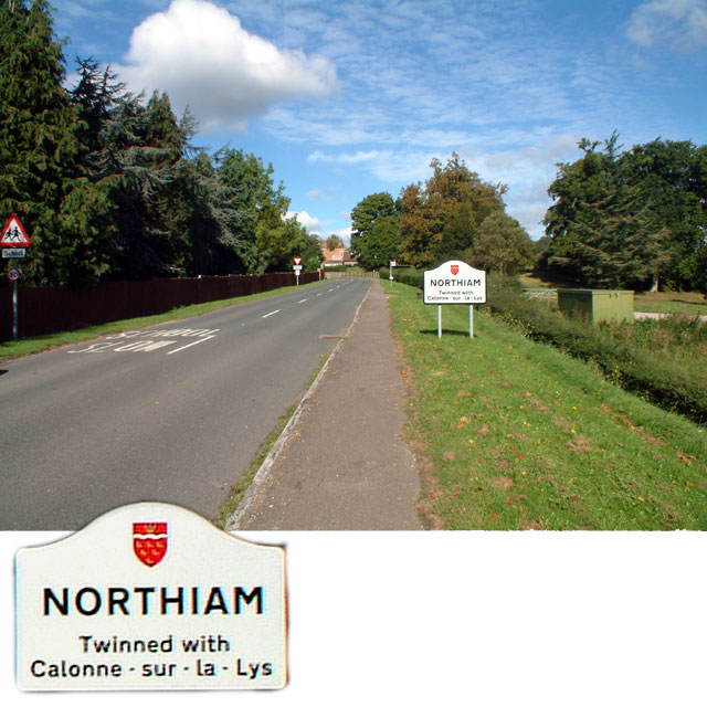
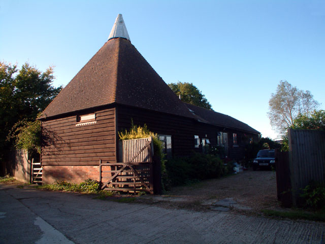
Ash Plantation Images
Images are sourced within 2km of 51.001329/0.61578592 or Grid Reference TQ8325. Thanks to Geograph Open Source API. All images are credited.


Ash Plantation is located at Grid Ref: TQ8325 (Lat: 51.001329, Lng: 0.61578592)
Administrative County: East Sussex
District: Rother
Police Authority: Sussex
What 3 Words
///shark.flask.prop. Near Northiam, East Sussex
Nearby Locations
Related Wikis

Northiam SSSI
Northiam SSSI is a 0.3-hectare (0.74-acre) geological Site of Special Scientific Interest in Northiam in East Sussex. It is a Geological Conservation Review...
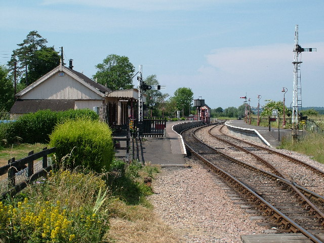
Northiam railway station
Northiam railway station is on the Kent and East Sussex Railway. It is located to the west of the level crossing on the A28 road linking the Kentish village...

Brickwall House
Brickwall House (formerly known as Down House School and Brickwall House School) is a country house in Northiam, East Sussex, England, now run as a dyslexia...

Northiam Unitarian Chapel
Northiam Unitarian Chapel is a former place of worship for Unitarians in Northiam, a village in the district of Rother in the English county of East Sussex...

Northiam
Northiam is a village and civil parish in the Rother district, in East Sussex, England, 13 miles (21 km) north of Hastings in the valley of the River Rother...

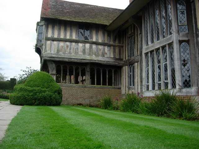
Great Dixter
Great Dixter is a house in Northiam, East Sussex, England. It was built in 1910–12 by architect Edwin Lutyens, who combined an existing mid-15th century...

Newenden
Newenden is a small village and civil parish in area and population in the Ashford District of Kent, England. == Geography == The village is clustered...

Beckley, East Sussex
Beckley is a village and civil parish in the Rother district of East Sussex, England. It is located on the B2088 minor road above the Rother Levels five...
Nearby Amenities
Located within 500m of 51.001329,0.61578592Have you been to Ash Plantation?
Leave your review of Ash Plantation below (or comments, questions and feedback).