High Grove Plantation
Wood, Forest in Norfolk Breckland
England
High Grove Plantation

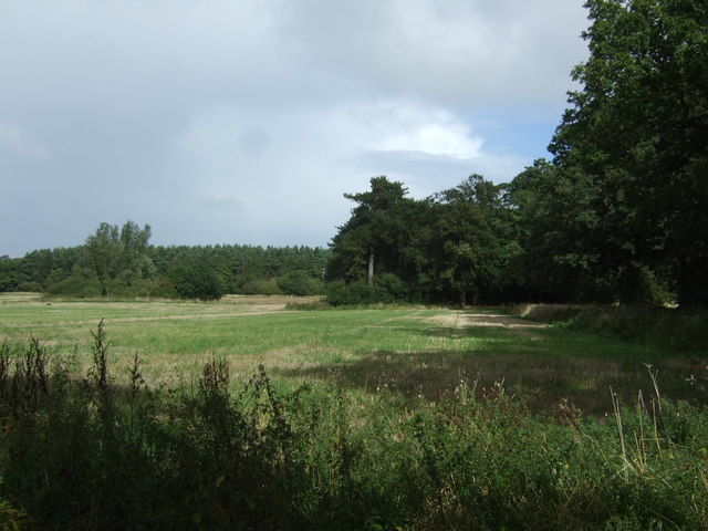
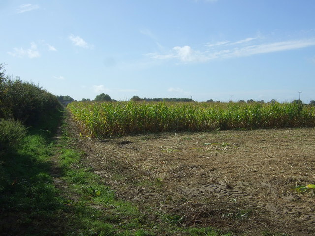
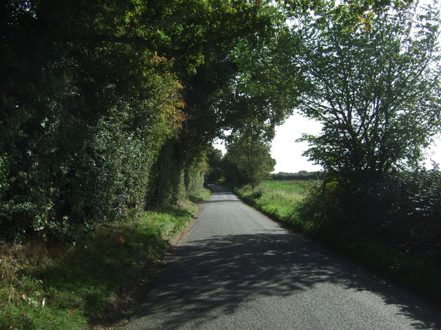
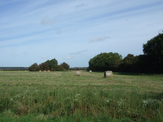
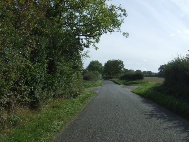
High Grove Plantation is a picturesque woodland area located in Norfolk, England. Covering an expansive area, this enchanting forest is known for its dense and ancient trees, providing a serene and tranquil escape for nature enthusiasts.
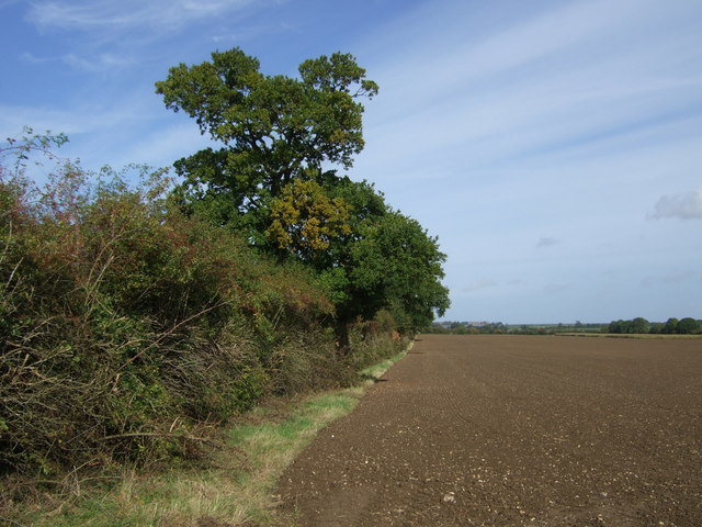
The plantation boasts a diverse range of tree species, including oak, beech, and chestnut, which have been carefully preserved over the years. These towering giants create a captivating canopy, allowing only dappled sunlight to pass through, adding to the ethereal ambiance of the woodland.
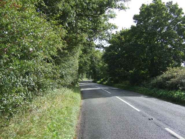
Visitors to High Grove Plantation can explore a network of well-maintained trails that wind through the forest, offering a chance to immerse oneself in the natural beauty of the surroundings. These pathways are suitable for walkers and hikers of all abilities, making it a popular destination for families and outdoor enthusiasts.
The plantation is also home to a variety of wildlife, including deer, rabbits, and a wide range of bird species. Birdwatchers will be delighted by the opportunity to spot rare and migratory birds nesting in the branches of the tall trees.
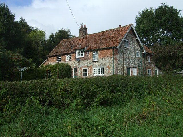
High Grove Plantation is not only a haven for flora and fauna but also a site of historical significance. The woodland holds remnants of an ancient settlement, with archaeological findings dating back to prehistoric times. These archaeological treasures contribute to the rich cultural heritage of the region.
Overall, High Grove Plantation offers a captivating blend of natural beauty and historical significance, making it a must-visit destination for those seeking tranquility and a deeper connection with nature.
If you have any feedback on the listing, please let us know in the comments section below.
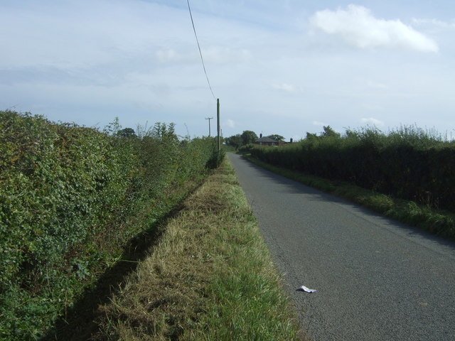
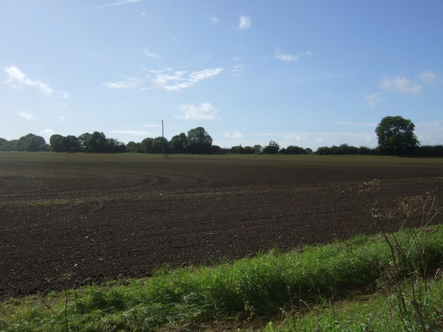
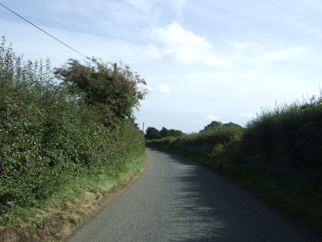
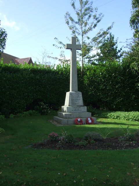
High Grove Plantation Images
Images are sourced within 2km of 52.757862/0.71736223 or Grid Reference TF8321. Thanks to Geograph Open Source API. All images are credited.


High Grove Plantation is located at Grid Ref: TF8321 (Lat: 52.757862, Lng: 0.71736223)
Administrative County: Norfolk
District: Breckland
Police Authority: Norfolk
What 3 Words
///proper.wrist.assures. Near Grimston, Norfolk
Nearby Locations
Related Wikis

Rougham, Norfolk
Rougham is a village and civil parish in the English county of Norfolk. It covers an area of 10.85 km2 (4.19 sq mi) and had a population of 152 in 69 households...

Weasenham All Saints
Weasenham All Saints is a civil parish in the English county of Norfolk. It covers an area of 8.16 km2 (3.15 sq mi) and had a population of 178 in 76 households...

Weasenham St Peter
Weasenham St Peter is a village and civil parish in the English county of Norfolk. It covers an area of 5.79 km2 (2.24 sq mi) and had a population of 166...

Wellingham
Wellingham is a village and civil parish in the English county of Norfolk. It covers an area of 4.39 km2 (1.69 sq mi) and had a population of 55 in 27...

RAF West Raynham
Royal Air Force West Raynham, or more simply RAF West Raynham, is a former Royal Air Force station located 2 miles (3.2 km) west of West Raynham, Norfolk...
RAF Great Massingham
Royal Air Force Great Massingham or more simply RAF Great Massingham is a former Royal Air Force station located 8.1 miles (13.0 km) southwest of Fakenham...
Lexham
Lexham is a parish consisting of the twin villages of East Lexham and West Lexham situated in the Breckland District of Norfolk and covers an area of 9...

Great Massingham
Great Massingham is a village and civil parish in the English county of Norfolk. It has a primary school (including a pre-school in the grounds), a village...
Nearby Amenities
Located within 500m of 52.757862,0.71736223Have you been to High Grove Plantation?
Leave your review of High Grove Plantation below (or comments, questions and feedback).