Four Corners

Wood, Forest in Suffolk West Suffolk

England

Four Corners

Elveden: One of many entrances to the King's Forest
Elveden: One of many entrances to the King's Forest Credit: Michael Garlick

Four Corners, Suffolk (Wood, Forest) is a small village located in the county of Suffolk, England. Situated in the eastern part of the country, Four Corners is known for its picturesque landscapes and charming rural atmosphere.

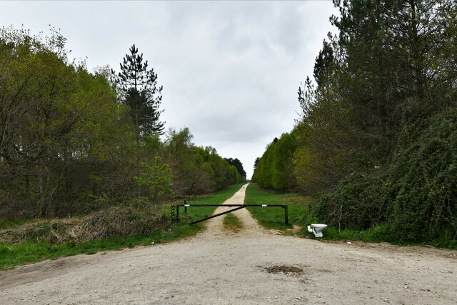
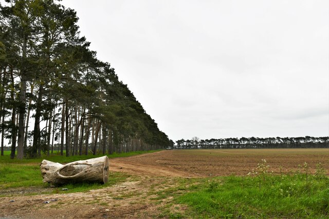
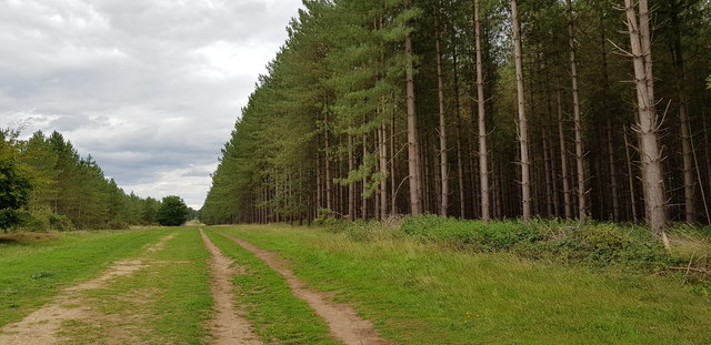
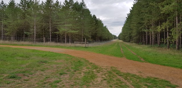
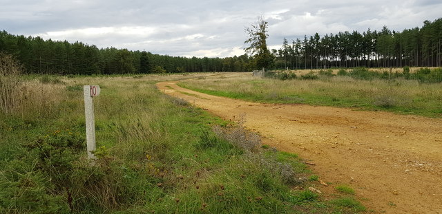
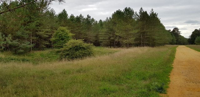
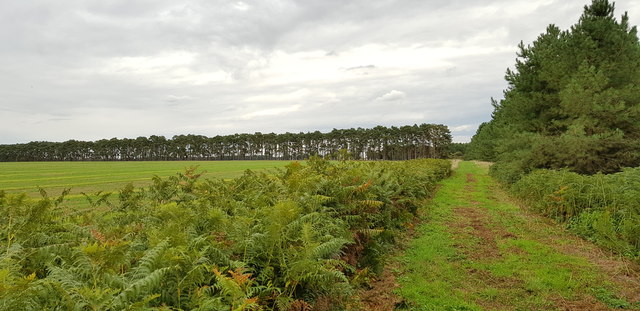
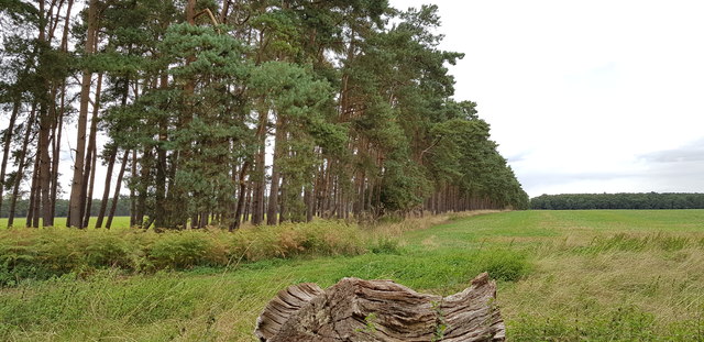
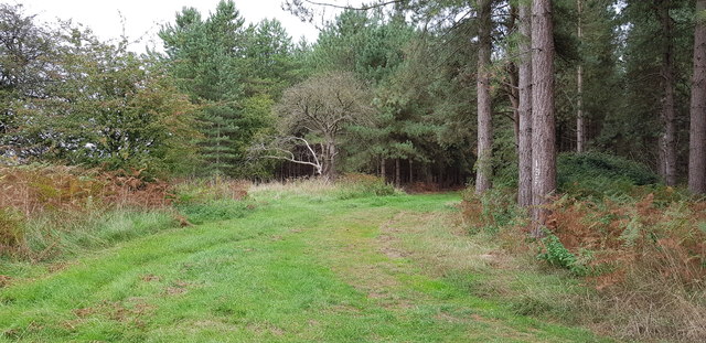
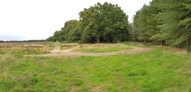
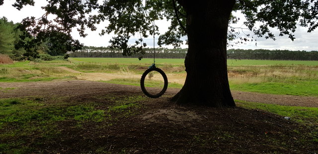
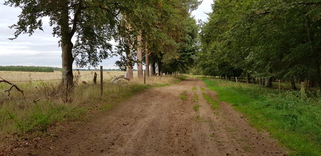
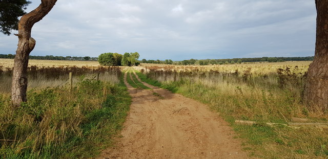
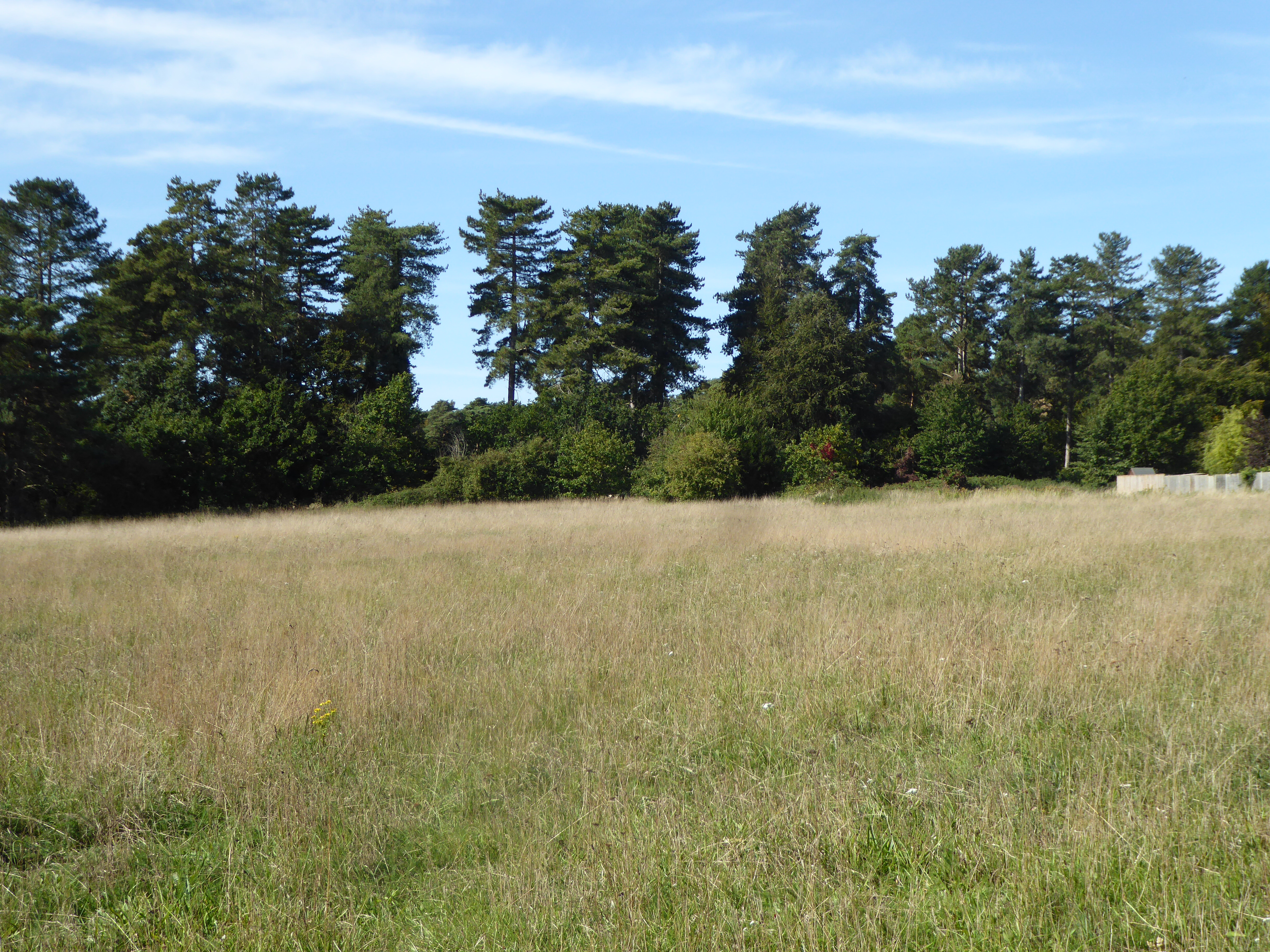
The village gets its name from its unique location, which is where four roads intersect, forming a small square. It is surrounded by lush woodlands and forests, contributing to its tranquil and scenic surroundings. The area is popular among nature enthusiasts, offering ample opportunities for hiking, walking, and exploring the great outdoors.

Four Corners is home to a tight-knit community of residents who enjoy a peaceful and close-knit village lifestyle. The village is predominantly residential, with a few small businesses and amenities catering to the needs of the local population.

The village is well-connected to larger towns and cities in the region, with good transport links and road connections. It is located a short distance from the market town of Stowmarket, which provides residents with access to a wider range of services and facilities.

In terms of landmarks and attractions, Four Corners is known for its beautiful countryside, with many walking trails and scenic spots to enjoy. The village is also close to several historic sites and attractions, including Framlingham Castle and Sutton Hoo, which attract visitors from near and far.

Overall, Four Corners, Suffolk (Wood, Forest) offers a peaceful and idyllic setting for those seeking a quaint village lifestyle amidst the natural beauty of the Suffolk countryside.

If you have any feedback on the listing, please let us know in the comments section below.

Four Corners Images

Images are sourced within 2km of 52.354179/0.6919041 or Grid Reference TL8376. Thanks to Geograph Open Source API. All images are credited.

Elveden: One of many entrances to the King's Forest
Elveden: One of many entrances to the King's Forest A discarded toilet.
Elveden: One of many entrances to the King's Forest
A discarded toilet.
Elveden: Shelterhouse Corner
Wordwell: The King's Forest
Scots Pines in The King's Forest The trees in this belt seem older than those around about. It looks like the belt has been there for over 100 years (it is on the 1882 OS map) when either side was heathland.
Scots Pines in The King's Forest
The trees in this belt seem older than those around about. It looks like the belt has been there for over 100 years (it is on the 1882 OS map) when either side was heathland.
Plantations by Chalk Lane There is a tumulus among the trees on the right. I could not see or reach it though, due to the thick undergrowth.
Plantations by Chalk Lane
There is a tumulus among the trees on the right. I could not see or reach it though, due to the thick undergrowth.
Plantations by Chalk Lane Chalk Lane, seen running into the distance, is a road (closed to the public) that predates most of the forest, being shown on the 1882 OS map when most of this land was heath.
Plantations by Chalk Lane
Chalk Lane, seen running into the distance, is a road (closed to the public) that predates most of the forest, being shown on the 1882 OS map when most of this land was heath.
Forest Road at Warren Covert This is the northernmost corner of Warren Covert. The Covert is shown on the 1883 OS map, when it was surrounded by open land and heath. Nowadays it is all managed forest here.
Forest Road at Warren Covert
This is the northernmost corner of Warren Covert. The Covert is shown on the 1883 OS map, when it was surrounded by open land and heath. Nowadays it is all managed forest here.
Old Clay Pit in The King's Forest This pit is shown as an 'old clay pit' on the 1883 OS map. At that time it was in an open field. There are many such pits in the forest.
Old Clay Pit in The King's Forest
This pit is shown as an 'old clay pit' on the 1883 OS map. At that time it was in an open field. There are many such pits in the forest.
Edge of The King's Forest To the left, sheltered and irrigated agricultural land, to the right conifer plantations.
Edge of The King's Forest
To the left, sheltered and irrigated agricultural land, to the right conifer plantations.
Scots Pine Windbreak These belts of trees were presumably planted to shelter the four diamond shaped fields they almost surround.
Scots Pine Windbreak
These belts of trees were presumably planted to shelter the four diamond shaped fields they almost surround.
Conifers at Four Corners I'm not sure what the Four Corners placename relates to but imagine it is parish boundaries, though only three civil parishes meet here now.
Conifers at Four Corners
I'm not sure what the Four Corners placename relates to but imagine it is parish boundaries, though only three civil parishes meet here now.
Pit Used as Off-roading Site This pit is evidently very popular with the users of 4x4 vehicles. Unlike the many other pits hereabouts, this one is very modern (less than 10 years old). This is the very edge of The King's Forest.
Pit Used as Off-roading Site
This pit is evidently very popular with the users of 4x4 vehicles. Unlike the many other pits hereabouts, this one is very modern (less than 10 years old). This is the very edge of The King's Forest.
Pit Used as Off-roading Site This pit is evidently very popular with the users of 4x4 vehicles. Unlike the many other pits hereabouts, this one is very modern (less than 10 years old). This is the very edge of The King's Forest and an old oak offers a great place to sit and watch the action.
Pit Used as Off-roading Site
This pit is evidently very popular with the users of 4x4 vehicles. Unlike the many other pits hereabouts, this one is very modern (less than 10 years old). This is the very edge of The King's Forest and an old oak offers a great place to sit and watch the action.
View along Elveden Road This lane is a byway but seems to have little traffic. On the right hand side is The King's Forest.
View along Elveden Road
This lane is a byway but seems to have little traffic. On the right hand side is The King's Forest.
Byway off Elveden Road This view is taken from the junction of the two byways. little has changed in 12 years <a href="https://www.geograph.org.uk/photo/206080">TL8476 : Byway junction</a>.
Byway off Elveden Road
This view is taken from the junction of the two byways. little has changed in 12 years TL8476 : Byway junction.
Byway Junction on Elveden Road This view is taken from the point where the byway from Barnham reaches Elveden Road, itself a byway. The section of Elveden Road running southeast from here (pictured) seems less frequented. The signage is for the users of off-road vehicles. Here's an older image captured at the same spot: <a href="https://www.geograph.org.uk/photo/1174441">TL8476 : Byway Post</a>
Byway Junction on Elveden Road
This view is taken from the point where the byway from Barnham reaches Elveden Road, itself a byway. The section of Elveden Road running southeast from here (pictured) seems less frequented. The signage is for the users of off-road vehicles. Here's an older image captured at the same spot: TL8476 : Byway Post
Byway to Barrow's Corner
Show me another place!

Four Corners is located at Grid Ref: TL8376 (Lat: 52.354179, Lng: 0.6919041)

Administrative County: Suffolk

District: West Suffolk

Police Authority: Suffolk

What 3 Words

///flattery.concluded.graver. Near Thetford, Norfolk

Related Wikis

Little Heath, Barnham

Little Heath, Barnham lies south-west of Barnham, Suffolk. Much of the area is now a Site of Special Scientific Interest, which almost surrounds the former...

Elm Road Field, Thetford

Elm Road Field, Thetford is a 5-hectare (12-acre) biological Site of Special Scientific Interest on the southern outskirts of Thetford in Norfolk. This...

Seven Hills Halt railway station

Seven Hills Halt railway station was a railway station in Suffolk, England on the branch line between Thetford and Bury St Edmunds. It was closed in 1953...

Elveden Hall

Elveden Hall is a large stately home on the Elveden Estate in Elveden, Suffolk, England. The seat of the Earls of Iveagh, it is a Grade II* listed building...

Have you been to Four Corners?

Leave your review of Four Corners below (or comments, questions and feedback).