Glebe Wood
Wood, Forest in Suffolk West Suffolk
England
Glebe Wood
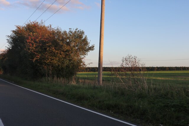
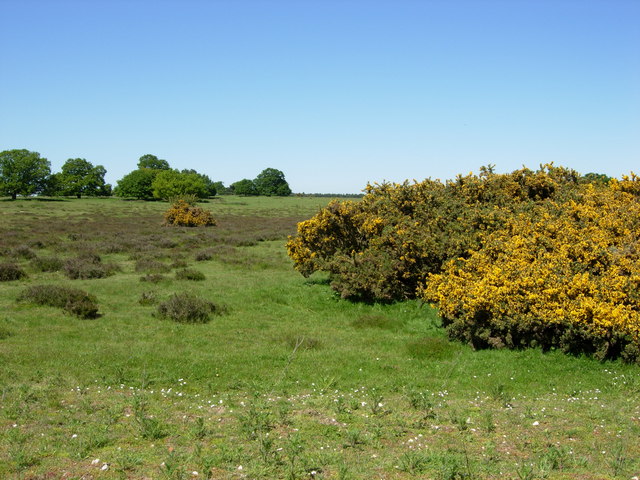
Glebe Wood is a picturesque woodland located in Suffolk, England. Covering an area of approximately 50 acres, this forest is a popular destination for nature lovers and outdoor enthusiasts. The wood is situated in the village of Glebe, near the town of Bury St. Edmunds.
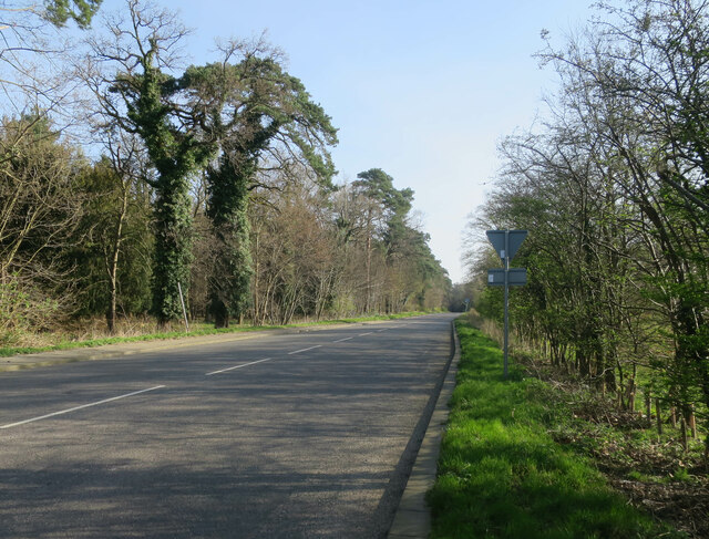
The woodland is characterized by its dense and diverse vegetation, comprising mainly of deciduous trees such as oak, beech, and ash. The trees form a lush canopy, creating a cool and shaded environment within the wood. Underneath the towering trees, the forest floor is covered in a thick layer of fallen leaves, providing a soft and natural carpet.
Glebe Wood is home to a wide variety of wildlife, including deer, rabbits, and a plethora of bird species. Nature enthusiasts often visit the wood to observe and photograph these animals in their natural habitat. Additionally, the woodland is known for its vibrant birdlife, with species such as sparrows, robins, and woodpeckers commonly spotted by birdwatchers.
The wood offers several well-maintained walking trails, allowing visitors to explore and experience the beauty of the forest. These trails wind through the wood, leading to hidden clearings and serene ponds. The peaceful atmosphere and tranquil surroundings make Glebe Wood an ideal place for relaxation and contemplation.
Overall, Glebe Wood in Suffolk is a charming and enchanting forest that offers a sanctuary for both nature and outdoor enthusiasts. Its rich biodiversity, scenic beauty, and peaceful ambiance make it a must-visit destination for anyone seeking a connection with nature.
If you have any feedback on the listing, please let us know in the comments section below.
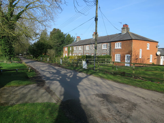
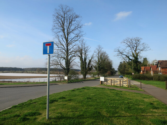
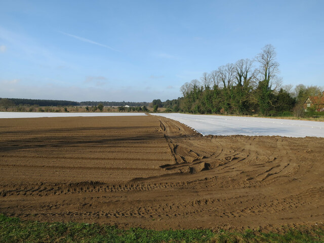
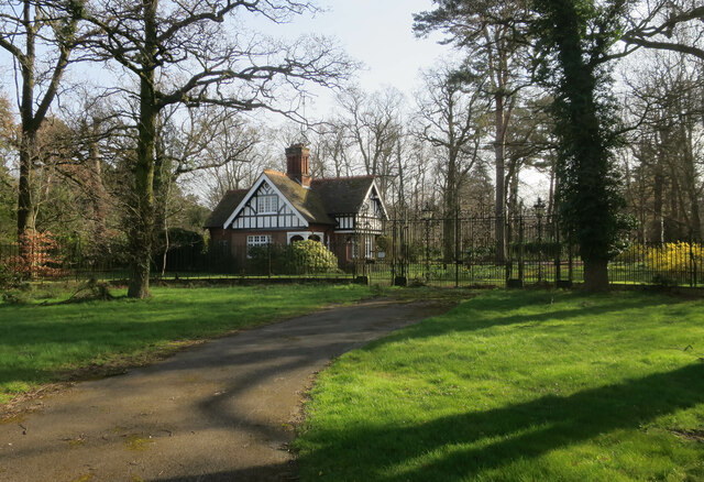
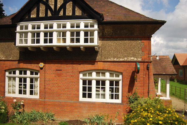
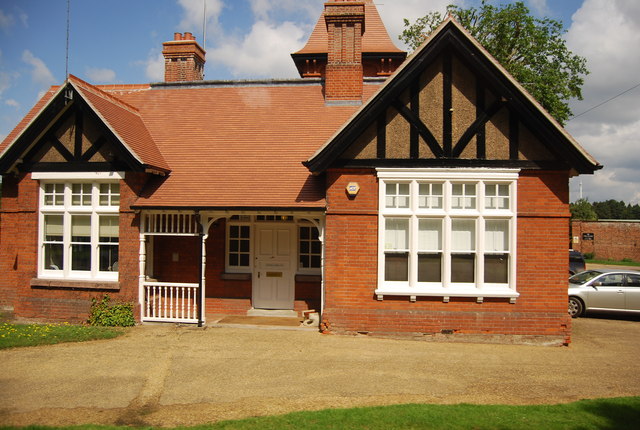
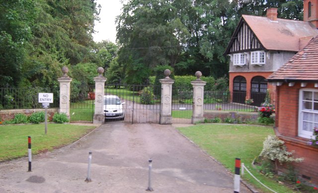
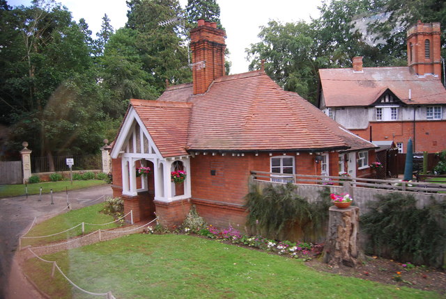
Glebe Wood Images
Images are sourced within 2km of 52.385905/0.69229146 or Grid Reference TL8379. Thanks to Geograph Open Source API. All images are credited.

Glebe Wood is located at Grid Ref: TL8379 (Lat: 52.385905, Lng: 0.69229146)
Administrative County: Suffolk
District: West Suffolk
Police Authority: Suffolk
What 3 Words
///dialects.finishers.boomers. Near Thetford, Norfolk
Nearby Locations
Related Wikis

Elveden Hall
Elveden Hall is a large stately home on the Elveden Estate in Elveden, Suffolk, England. The seat of the Earls of Iveagh, it is a Grade II* listed building...

Elveden
Elveden is a village and civil parish in the West Suffolk district of Suffolk in eastern England. In 2005 it had a population of 270. The village is bypassed...

Breckland Forest
Breckland Forest is an 18,126 hectare biological and geological Site of Special Scientific Interest in many separate areas between Swaffham in Norfolk...
Thetford Heaths
Thetford Heaths is a 270.6-hectare (669-acre) biological and geological Site of Special Scientific Interest in Suffolk. It is a Nature Conservation Review...

Little Heath, Barnham
Little Heath, Barnham lies south-west of Barnham, Suffolk. Much of the area is now a Site of Special Scientific Interest, which almost surrounds the former...

Barnham railway station (Suffolk)
Barnham railway station is a former station in Barnham, Suffolk on a now closed line between Thetford and Bury St Edmunds. It was located close to the...
RAF Barnham
RAF Barnham (also called Barnham Camp) is a Royal Air Force station situated in the English county of Suffolk 2 miles (3.2 km) south of the Norfolk town...

Thetford Hoard
The Thetford Hoard (also known as the Thetford Treasure) is a hoard of Romano-British metalwork found by Arthur and Greta Brooks at Gallows Hill, near...
Nearby Amenities
Located within 500m of 52.385905,0.69229146Have you been to Glebe Wood?
Leave your review of Glebe Wood below (or comments, questions and feedback).