Newheath Plantation

Wood, Forest in Suffolk West Suffolk

England

Newheath Plantation

Wordwell: The King's Forest
Wordwell: The King's Forest Credit: Michael Garlick

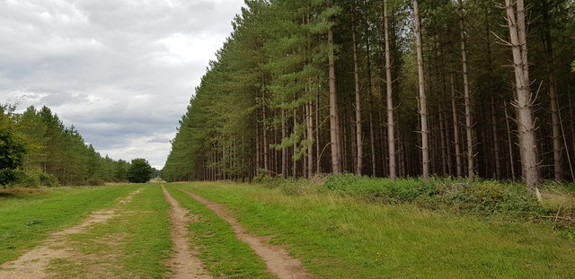
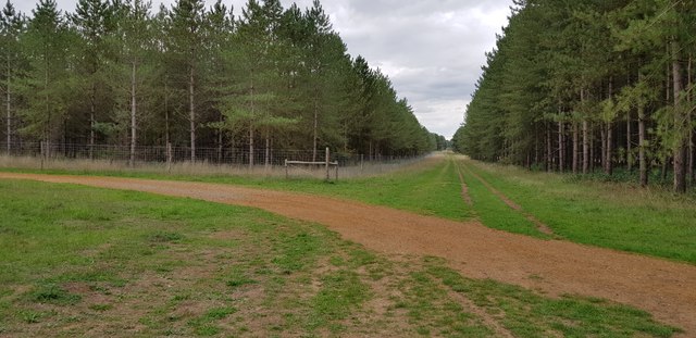
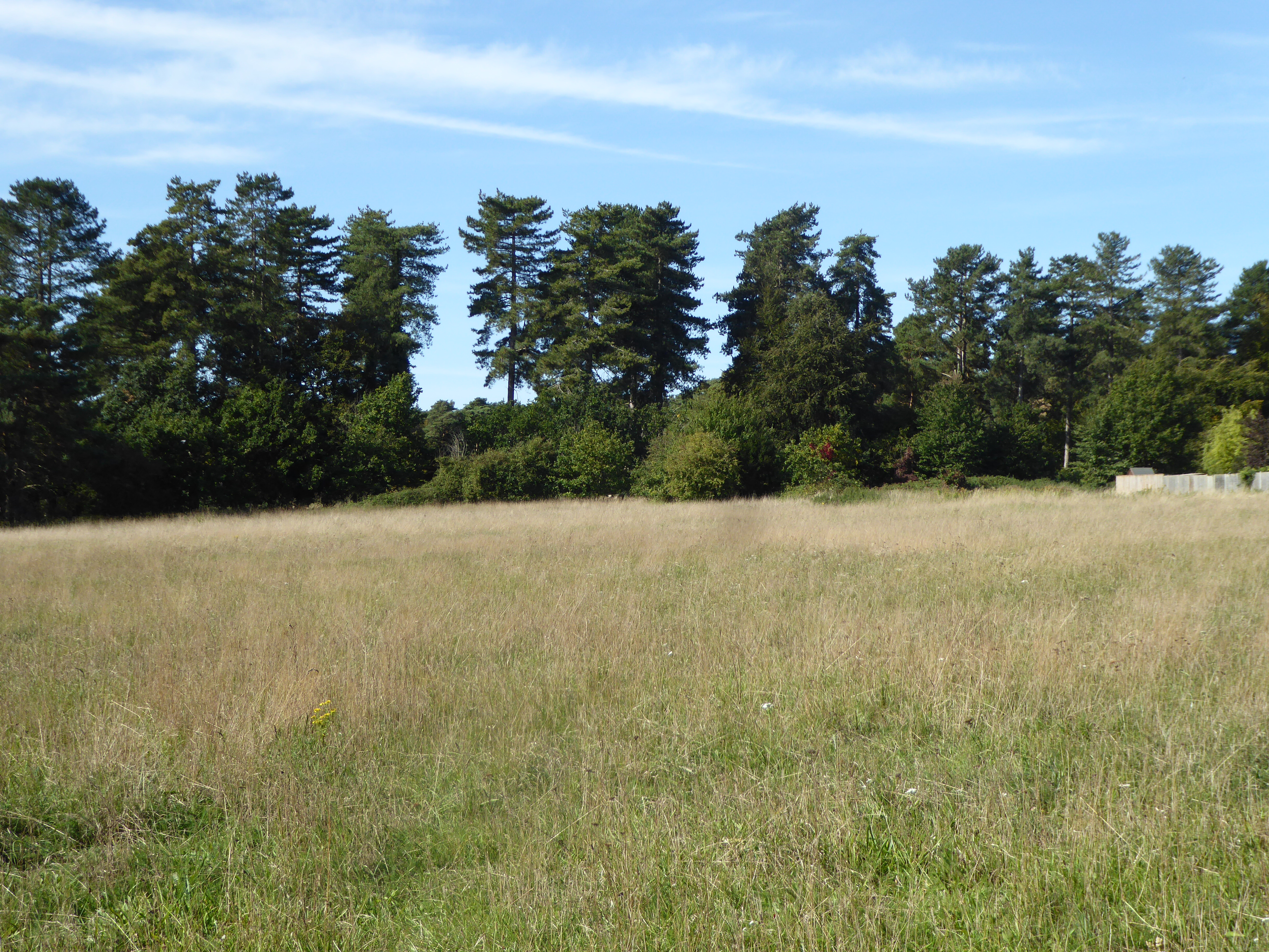
Newheath Plantation is a picturesque woodland area located in Suffolk, England. Covering an expansive area, it is widely recognized for its natural beauty and diverse ecosystem. The plantation is characterized by its dense forest, which comprises a mixture of native trees such as oak, beech, and birch.

The woodland is home to a plethora of wildlife, including various bird species, mammals, and insects. Many visitors are drawn to the plantation for its rich biodiversity and the opportunity to observe and appreciate nature in its purest form. It provides a sanctuary for numerous species and serves as an important habitat for both resident and migratory birds.

Newheath Plantation offers a range of recreational activities, making it a popular destination for outdoor enthusiasts. Visitors can explore the extensive network of walking trails, which meander through the forest, providing an immersive experience in nature. Additionally, the plantation offers opportunities for cycling, jogging, and horseback riding, catering to a wide range of interests.

The woodland is carefully managed to ensure its preservation and conservation. This includes regular tree planting and maintenance, as well as the implementation of sustainable practices. Newheath Plantation also serves as an educational resource, with guided tours and educational programs available to schools and community groups, promoting environmental awareness and appreciation for the natural world.

Overall, Newheath Plantation is a cherished natural gem in Suffolk, offering a tranquil escape from the hustle and bustle of everyday life. With its stunning landscape, diverse wildlife, and range of recreational activities, it provides a haven for both nature lovers and those seeking a peaceful retreat in the heart of the Suffolk countryside.

If you have any feedback on the listing, please let us know in the comments section below.

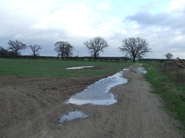
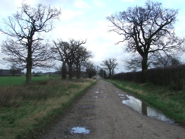
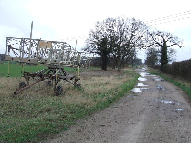
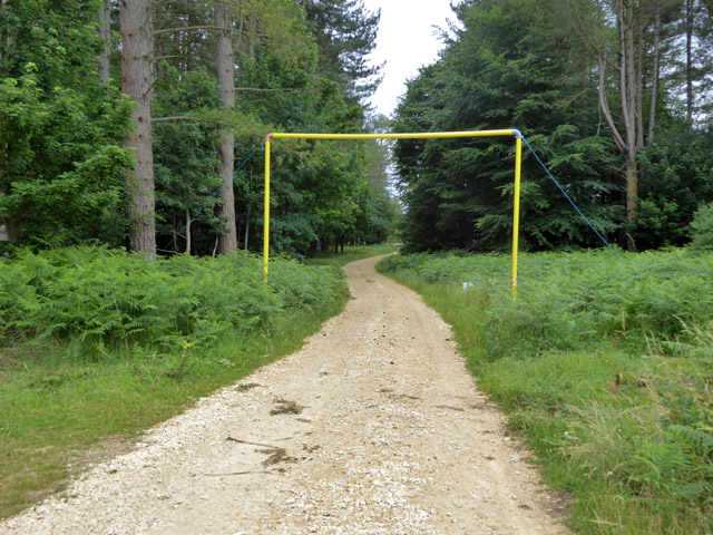
Newheath Plantation Images

Images are sourced within 2km of 52.33364/0.68833686 or Grid Reference TL8374. Thanks to Geograph Open Source API. All images are credited.

Wordwell: The King's Forest
Wordwell: One of many entrances to The King's Forest
Wordwell Hall Wordwell Hall is Grade II listed and is thought to date from the 16th century. See: <span class="nowrap"><a title="https://historicengland.org.uk/listing/the-list/list-entry/1031270?section=official-list-entry" rel="nofollow ugc noopener" href="https://historicengland.org.uk/listing/the-list/list-entry/1031270?section=official-list-entry">Link</a><img style="margin-left:2px;" alt="External link" title="External link - shift click to open in new window" src="https://s1.geograph.org.uk/img/external.png" width="10" height="10"/></span>
Wordwell Hall
Wordwell Hall is Grade II listed and is thought to date from the 16th century. See: LinkExternal link
Poplar trees Poplar trees pictured at 4am just as dawn is coming up and the mist is lifting.
Poplar trees
Poplar trees pictured at 4am just as dawn is coming up and the mist is lifting.
Dark Sky Dark sky in the distance near to Wordwell, Suffolk.
Dark Sky
Dark sky in the distance near to Wordwell, Suffolk.
Footpath Footpath looking east near to Wordwell, Suffolk.
Footpath
Footpath looking east near to Wordwell, Suffolk.
Coopers Drift Looking north along a farm track marked on the map as Coopers Drift near to Ampton, Suffolk.
Coopers Drift
Looking north along a farm track marked on the map as Coopers Drift near to Ampton, Suffolk.
Farm Machinery Farm machinery at the side of Coopers Drift near to Ampton, Suffolk.
Farm Machinery
Farm machinery at the side of Coopers Drift near to Ampton, Suffolk.
Open area, King's Forest This appears to have been open for some good time.
Open area, King's Forest
This appears to have been open for some good time.
Ride, King's Forest To the right is mapped as Brandon Plantation, which seems to have broad-leaved trees in an area largely of conifers.
Ride, King's Forest
To the right is mapped as Brandon Plantation, which seems to have broad-leaved trees in an area largely of conifers.
Loading gauge on forestry track This is because there is an overhead power line roughly above the camera position. There is another one on the other side of the power line.
Loading gauge on forestry track
This is because there is an overhead power line roughly above the camera position. There is another one on the other side of the power line.
Ride, King's Forest The yellow plant is Lady's Bedstraw. There was a great deal of this about in the sandy soil in open areas.
Ride, King's Forest
The yellow plant is Lady's Bedstraw. There was a great deal of this about in the sandy soil in open areas.
Timber stack, King's Forest The signs give various safety warnings, in particular to keep off the timber stacks.
Timber stack, King's Forest
The signs give various safety warnings, in particular to keep off the timber stacks.
Bladder Campion, Silene vulgaris In a grassy area of King's Forest.
Bladder Campion, Silene vulgaris
In a grassy area of King's Forest.
Webs on gorse I had a look at the easier bits to get at and could not see anything - I was expecting sawfly larvae (that look like caterpillars): some communal species protect the colony with such webbing. In looking things up later, I found this is the work of gorse spider mites. I had overlooked, and probably could not get close to, the orange bits at some of the vertices. These are doubtless huddles of the tiny mites, Tetranychus lintearius.
Webs on gorse
I had a look at the easier bits to get at and could not see anything - I was expecting sawfly larvae (that look like caterpillars): some communal species protect the colony with such webbing. In looking things up later, I found this is the work of gorse spider mites. I had overlooked, and probably could not get close to, the orange bits at some of the vertices. These are doubtless huddles of the tiny mites, Tetranychus lintearius.
Scots Pines in The King's Forest The trees in this belt seem older than those around about. It looks like the belt has been there for over 100 years (it is on the 1882 OS map) when either side was heathland.
Scots Pines in The King's Forest
The trees in this belt seem older than those around about. It looks like the belt has been there for over 100 years (it is on the 1882 OS map) when either side was heathland.
Plantations by Chalk Lane There is a tumulus among the trees on the right. I could not see or reach it though, due to the thick undergrowth.
Plantations by Chalk Lane
There is a tumulus among the trees on the right. I could not see or reach it though, due to the thick undergrowth.
Plantations by Chalk Lane Chalk Lane, seen running into the distance, is a road (closed to the public) that predates most of the forest, being shown on the 1882 OS map when most of this land was heath.
Plantations by Chalk Lane
Chalk Lane, seen running into the distance, is a road (closed to the public) that predates most of the forest, being shown on the 1882 OS map when most of this land was heath.
Show me another place!

Newheath Plantation is located at Grid Ref: TL8374 (Lat: 52.33364, Lng: 0.68833686)

Administrative County: Suffolk

District: West Suffolk

Police Authority: Suffolk

What 3 Words

///retina.daredevil.bordering. Near Great Barton, Suffolk

Related Wikis

Wordwell

Wordwell is a small village and civil parish in Suffolk, England, about five miles North of Bury St Edmunds. The village was hit by the Black Death in...

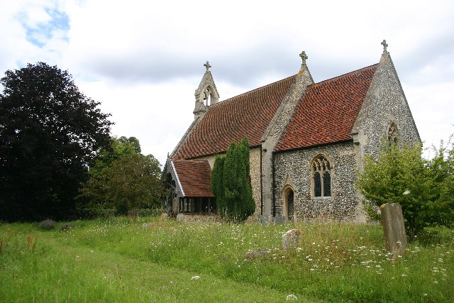
All Saints Church, Wordwell

All Saints Church is a redundant Anglican church in the village of Wordwell, Suffolk, England. It is recorded in the National Heritage List for England...

Seven Hills Halt railway station

Seven Hills Halt railway station was a railway station in Suffolk, England on the branch line between Thetford and Bury St Edmunds. It was closed in 1953...

Elm Road Field, Thetford

Elm Road Field, Thetford is a 5-hectare (12-acre) biological Site of Special Scientific Interest on the southern outskirts of Thetford in Norfolk. This...

Nearby Amenities

Located within 500m of 52.33364,0.68833686
Fixme: incomplete
Lat/Long: 52.3339443/0.6916986
The data included in this document is from www.openstreetmap.org. The data is made available under ODbL.

Have you been to Newheath Plantation?

Leave your review of Newheath Plantation below (or comments, questions and feedback).