Roger Plantation
Wood, Forest in Norfolk Breckland
England
Roger Plantation
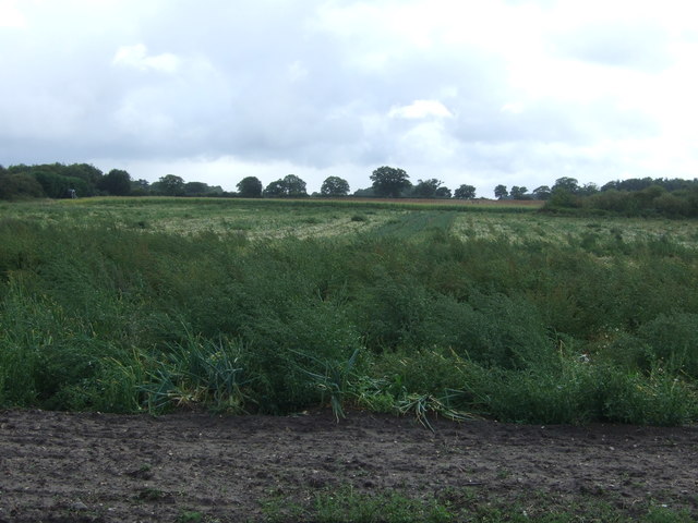
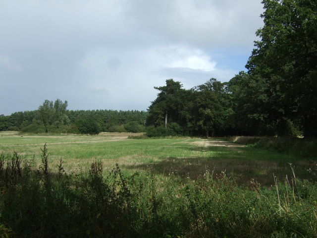
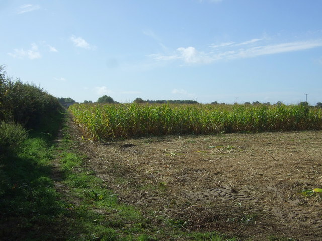
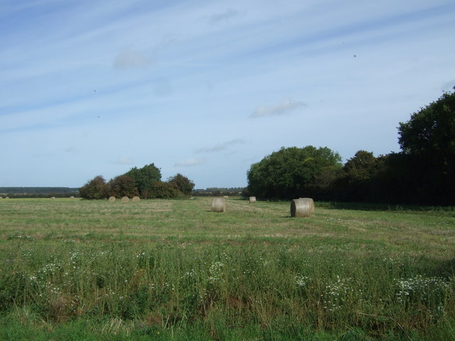
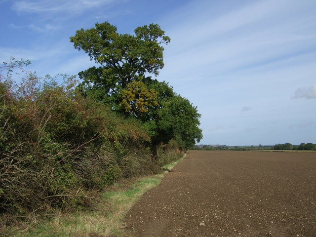
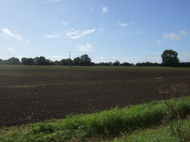
Roger Plantation, located in Norfolk, England, is a picturesque woodland area renowned for its natural beauty and rich biodiversity. Spanning approximately 200 acres, this expansive forest is a haven for nature enthusiasts and outdoor adventurers alike.
The plantation is predominantly composed of various species of trees, including oak, beech, and pine, which form a dense canopy overhead. The lush undergrowth is home to a diverse array of flora, such as bluebells, ferns, and wild orchids, making it a vibrant and colorful landscape throughout the year.
Wildlife thrives in Roger Plantation, with numerous species calling this woodland their home. The forest provides an ideal habitat for various bird species, including woodpeckers, owls, and warblers, which can often be spotted or heard by keen birdwatchers. Mammals like deer, foxes, and badgers also inhabit the forest, adding to its natural charm.
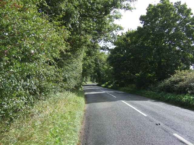
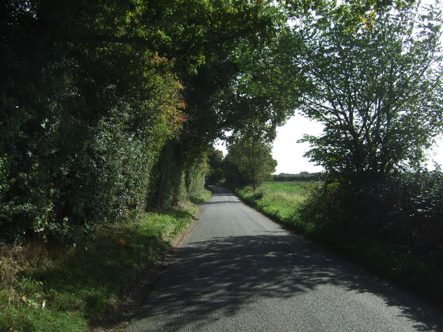
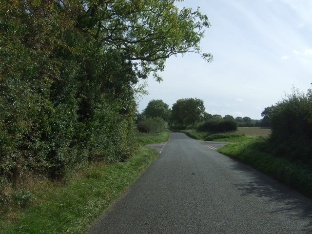
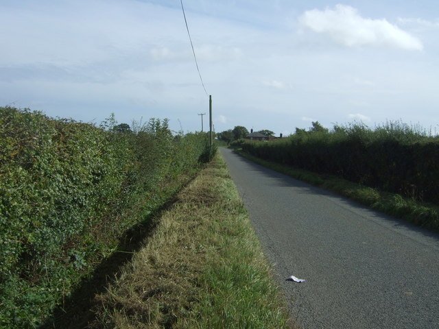
For outdoor enthusiasts, Roger Plantation offers a plethora of activities. Visitors can explore the forest through a network of well-maintained trails, which wind through the woodland and provide breathtaking views of the surrounding countryside. The plantation is also a popular destination for hiking, cycling, and horseback riding, with designated paths catering to each activity.
Additionally, the forest is a prime location for picnics and nature walks, providing a peaceful and tranquil setting for visitors to unwind and reconnect with nature. Local conservation efforts ensure that the plantation remains a pristine and protected environment, allowing future generations to appreciate its natural wonders.
In conclusion, Roger Plantation in Norfolk is a stunning woodland area that offers a diverse range of flora and fauna, making it a haven for nature enthusiasts and outdoor adventurers. Its scenic beauty, well-maintained trails, and abundant wildlife make it a must-visit destination for those seeking a peaceful and immersive natural experience.
If you have any feedback on the listing, please let us know in the comments section below.
Roger Plantation Images
Images are sourced within 2km of 52.757591/0.71033457 or Grid Reference TF8221. Thanks to Geograph Open Source API. All images are credited.


Roger Plantation is located at Grid Ref: TF8221 (Lat: 52.757591, Lng: 0.71033457)
Administrative County: Norfolk
District: Breckland
Police Authority: Norfolk
What 3 Words
///central.shorthand.tarred. Near Grimston, Norfolk
Nearby Locations
Related Wikis

Rougham, Norfolk
Rougham is a village and civil parish in the English county of Norfolk. It covers an area of 10.85 km2 (4.19 sq mi) and had a population of 152 in 69 households...

Weasenham All Saints
Weasenham All Saints is a civil parish in the English county of Norfolk. It covers an area of 8.16 km2 (3.15 sq mi) and had a population of 178 in 76 households...

Weasenham St Peter
Weasenham St Peter is a village and civil parish in the English county of Norfolk. It covers an area of 5.79 km2 (2.24 sq mi) and had a population of 166...

RAF Great Massingham
Royal Air Force Great Massingham or more simply RAF Great Massingham is a former Royal Air Force station located 8.1 miles (13 km) southwest of Fakenham...
Nearby Amenities
Located within 500m of 52.757591,0.71033457Have you been to Roger Plantation?
Leave your review of Roger Plantation below (or comments, questions and feedback).