Barn Belt

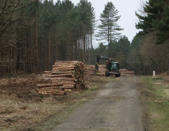
Wood, Forest in Norfolk Breckland

England

Barn Belt

Clear felled area near Lynford
Clear felled area near Lynford Credit: Jonathan Thacker

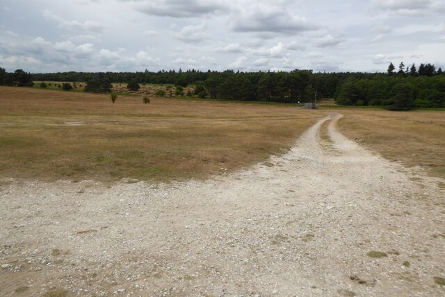
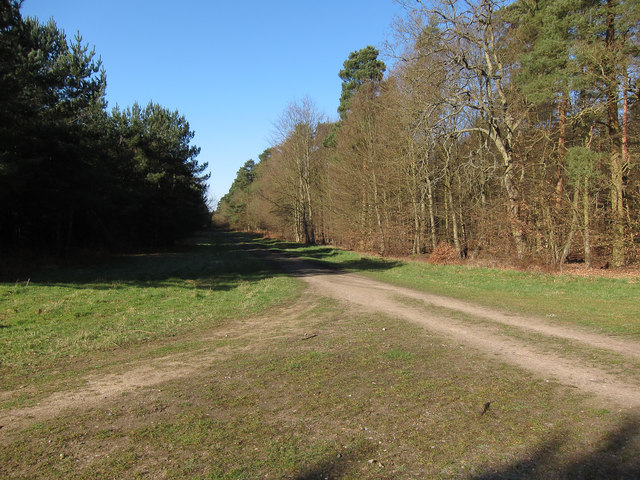
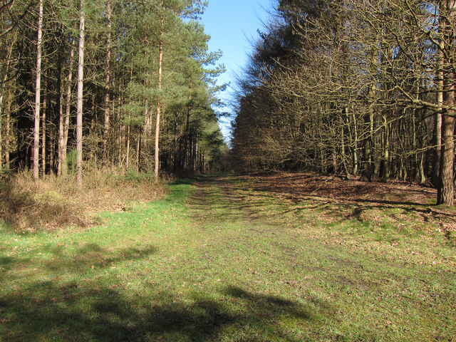
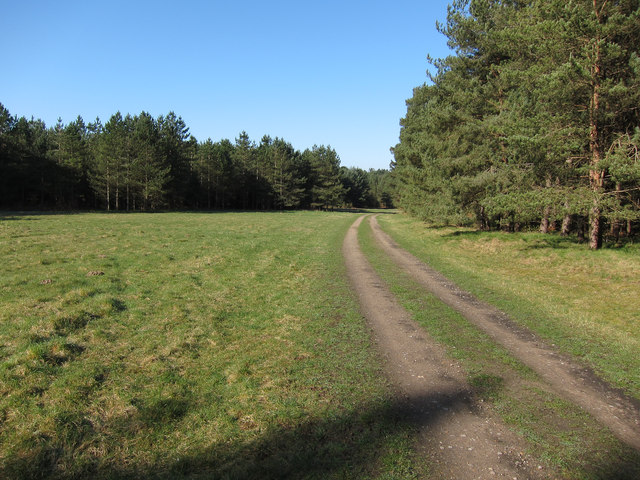
Barn Belt, Norfolk, also known as Wood or Forest, is a rural area located in the county of Norfolk, England. Situated in the eastern part of the country, it is characterized by its picturesque landscapes and abundant woodlands.

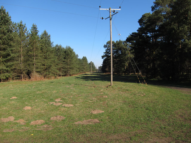
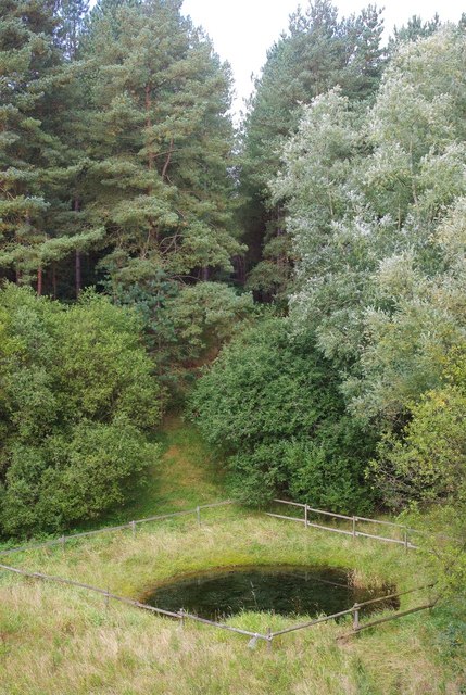
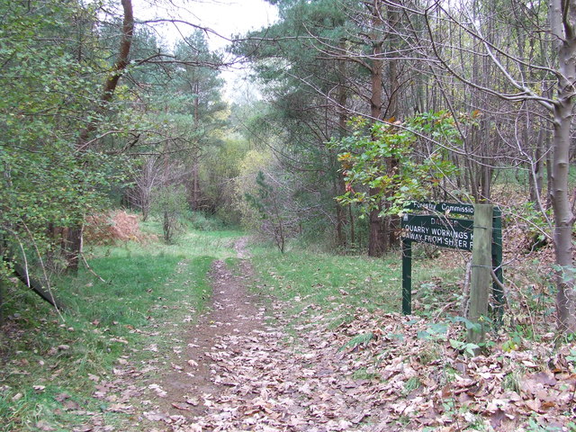
The area is renowned for its dense forests, which cover a significant portion of the region. These woodlands are home to a diverse range of flora and fauna, making it a haven for nature enthusiasts and wildlife lovers. Visitors can expect to see a variety of tree species, including oak, beech, and birch, among others.

In addition to its natural beauty, Barn Belt offers a peaceful and tranquil environment, away from the hustle and bustle of urban life. The idyllic countryside setting provides a perfect escape for those seeking relaxation and rejuvenation. It is not uncommon to hear the sounds of birds chirping and leaves rustling in the wind while exploring the area.

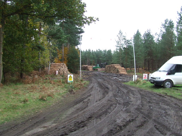
The local community in Barn Belt is tight-knit, with a strong emphasis on preserving the natural surroundings and maintaining a sustainable lifestyle. Agriculture plays a vital role in the region's economy, with many farms producing crops such as wheat, barley, and vegetables. The local farmers take pride in their traditional farming practices, which have been passed down through generations.

Overall, Barn Belt, Norfolk (Wood, Forest) offers a unique blend of natural beauty, tranquility, and rural charm. Whether it's exploring the enchanting woodlands, engaging in outdoor activities, or simply enjoying the peaceful atmosphere, visitors are sure to find solace in this picturesque corner of Norfolk.

If you have any feedback on the listing, please let us know in the comments section below.

Barn Belt Images

Images are sourced within 2km of 52.470495/0.68889813 or Grid Reference TL8289. Thanks to Geograph Open Source API. All images are credited.

Clear felled area near Lynford
Access track to Grime's Graves This is the track which gives access to the English Heritage of Grime's Grave.
Access track to Grime's Graves
This is the track which gives access to the English Heritage of Grime's Grave.
Restricted byway through West Tofts Heath Mostly coniferous plantation with some areas of deciduous trees. The area is open access.
Restricted byway through West Tofts Heath
Mostly coniferous plantation with some areas of deciduous trees. The area is open access.
Forest track Part of Thetford Forest.
Forest track
Part of Thetford Forest.
Open area in the plantation By the restricted byway to Lynford Point House.
Open area in the plantation
By the restricted byway to Lynford Point House.
Restricted byway
Restricted byway
Across the pit This disused sand pit isn't as wet as the current OS mapping suggests.  The tracks around it suggest that it's heavily used by two-wheeled vehicles.
Across the pit
This disused sand pit isn't as wet as the current OS mapping suggests. The tracks around it suggest that it's heavily used by two-wheeled vehicles.
Pool in a pit This pool sits at the bottom of the disused sand pit, carefully fenced off to stop anyone falling in.
Pool in a pit
This pool sits at the bottom of the disused sand pit, carefully fenced off to stop anyone falling in.
On the edge This birch tree clings to the edge of the disused sand pit.
On the edge
This birch tree clings to the edge of the disused sand pit.
Boundary Stone Boundary stone near to Lynford, Norfolk.For overall view see <a title="https://www.geograph.org.uk/photo/3267147" href="https://www.geograph.org.uk/photo/3267147">Link</a>
Boundary Stone
Boundary stone near to Lynford, Norfolk.For overall view see Link
Boundary Stone Old boundary stone near to Lynford, Norfolk. For close up view see <a title="https://www.geograph.org.uk/photo/3267145" href="https://www.geograph.org.uk/photo/3267145">Link</a>
Boundary Stone
Old boundary stone near to Lynford, Norfolk. For close up view see Link
The A.134 Looking south east along the A.143 near to Lynford, Norfolk.
The A.134
Looking south east along the A.143 near to Lynford, Norfolk.
Entrance To Old Quarry Entrance to old quarry near to Lynford, Norfolk.
Entrance To Old Quarry
Entrance to old quarry near to Lynford, Norfolk.
Blue Portaloo Blue Portaloo provided for the forestry workers working nearby seen near to Lynford, Norfolk.
Blue Portaloo
Blue Portaloo provided for the forestry workers working nearby seen near to Lynford, Norfolk.
Forestry Workings Forestry workings near to Lynford, Norfolk.
Forestry Workings
Forestry workings near to Lynford, Norfolk.
Track through West Tofts Heath Stacks of timber awaiting collection and a shooting tower to try to control Roe Deer numbers.
Track through West Tofts Heath
Stacks of timber awaiting collection and a shooting tower to try to control Roe Deer numbers.
Forestry operations, West Tofts Heath Piling up tree trunks ready for collection.
Forestry operations, West Tofts Heath
Piling up tree trunks ready for collection.
Restricted byway through West Tofts Heath Compare with <a href="https://www.geograph.org.uk/photo/2705438">TL8490 : Restricted byway through West Tofts Heath</a>.
Restricted byway through West Tofts Heath
Show me another place!

Barn Belt is located at Grid Ref: TL8289 (Lat: 52.470495, Lng: 0.68889813)

Administrative County: Norfolk

District: Breckland

Police Authority: Norfolk

What 3 Words

///variation.pouting.mentions. Near Mundford, Norfolk

Nearby Locations

Barn Belt

Related Wikis

Grime's Graves

Grime's Graves is a large Neolithic flint mining complex in Norfolk, England. It lies 8 km (5.0 mi) north east from Brandon, Suffolk in the East of England...

Thetford Rural District

Thetford Rural District was a rural district in Norfolk, England from 1894 to 1935. It was formed under the Local Government Act 1894 based on the Thetford...
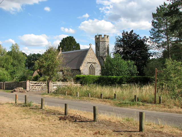
Santon, Norfolk

Santon is a depopulated village near Santon Downham, in the civil parish of Lynford, in the Breckland district, in Norfolk, England. Moated earthworks...

Lynford

Lynford is a village and civil parish in the Breckland District of Norfolk. The parish covers an area of 24.72 km2 (9.54 sq mi), and the 2001 Census recorded...

Nearby Amenities

Located within 500m of 52.470495,0.68889813
Barrier: bar
Lat/Long: 52.4748941/0.6897449
Barrier: bar
Lat/Long: 52.4688994/0.6844814
Barrier: bar
Lat/Long: 52.473584/0.6890122
Addr City: Brandon
Addr Housename: FIeld Barn
Addr Postcode: IP27 0TP
Addr Street: Santon Road
Lat/Long: 52.4685986/0.6855754
The data included in this document is from www.openstreetmap.org. The data is made available under ODbL.

Have you been to Barn Belt?

Leave your review of Barn Belt below (or comments, questions and feedback).