Chequers Belt
Wood, Forest in Suffolk West Suffolk
England
Chequers Belt

Chequers Belt, located in Suffolk, England, is a picturesque woodland and forest area known for its natural beauty and rich biodiversity. Covering an expansive area, it offers a serene environment for nature enthusiasts and provides a haven for various species of flora and fauna.
The woodland in Chequers Belt is predominantly made up of broadleaf trees, including oak, beech, birch, and ash, which create a vibrant and diverse canopy. The forest floor is adorned with an array of wildflowers, including bluebells, primroses, and foxgloves, which add splashes of color to the landscape during the spring and summer months.
The forest is crisscrossed by numerous walking trails, allowing visitors to explore its beauty at their own pace. These trails meander through the woodland, offering stunning views of towering trees, babbling brooks, and peaceful glades. The area is also home to a variety of wildlife, such as deer, foxes, badgers, and a wide range of bird species, making it a popular spot for birdwatching and wildlife photography.
Chequers Belt is managed by local authorities and conservation organizations to preserve its natural heritage. Efforts are made to maintain the balance between recreational activities and the preservation of the woodland ecosystem. Regular monitoring and conservation projects help protect the forest's delicate ecology and ensure its sustainability for future generations to enjoy.
Overall, Chequers Belt in Suffolk is a remarkable woodland and forest area that offers visitors a chance to immerse themselves in the beauty of nature. With its diverse flora and fauna, tranquil atmosphere, and well-maintained trails, it is a haven for outdoor enthusiasts and a valuable natural asset for the local community.
If you have any feedback on the listing, please let us know in the comments section below.
Chequers Belt Images
Images are sourced within 2km of 52.326412/0.67678784 or Grid Reference TL8273. Thanks to Geograph Open Source API. All images are credited.


Chequers Belt is located at Grid Ref: TL8273 (Lat: 52.326412, Lng: 0.67678784)
Administrative County: Suffolk
District: West Suffolk
Police Authority: Suffolk
What 3 Words
///lighten.stood.groom. Near Great Barton, Suffolk
Nearby Locations
Related Wikis
Wordwell
Wordwell is a small village and civil parish in Suffolk, England, about five miles North of Bury St Edmunds. The village was hit by the Black Death in...
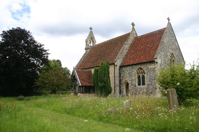
All Saints Church, Wordwell
All Saints Church is a redundant Anglican church in the village of Wordwell, Suffolk, England. It is recorded in the National Heritage List for England...

West Stow Hall
West Stow Hall is a Tudor manor house in West Stow, Suffolk, England, near Bury St Edmunds. It was begun in around 1520 for Sir John Croftes, Master of...

West Stow
West Stow is a small village and civil parish in West Suffolk, England. The village lies north of Bury St. Edmunds, south of Mildenhall and Thetford and...
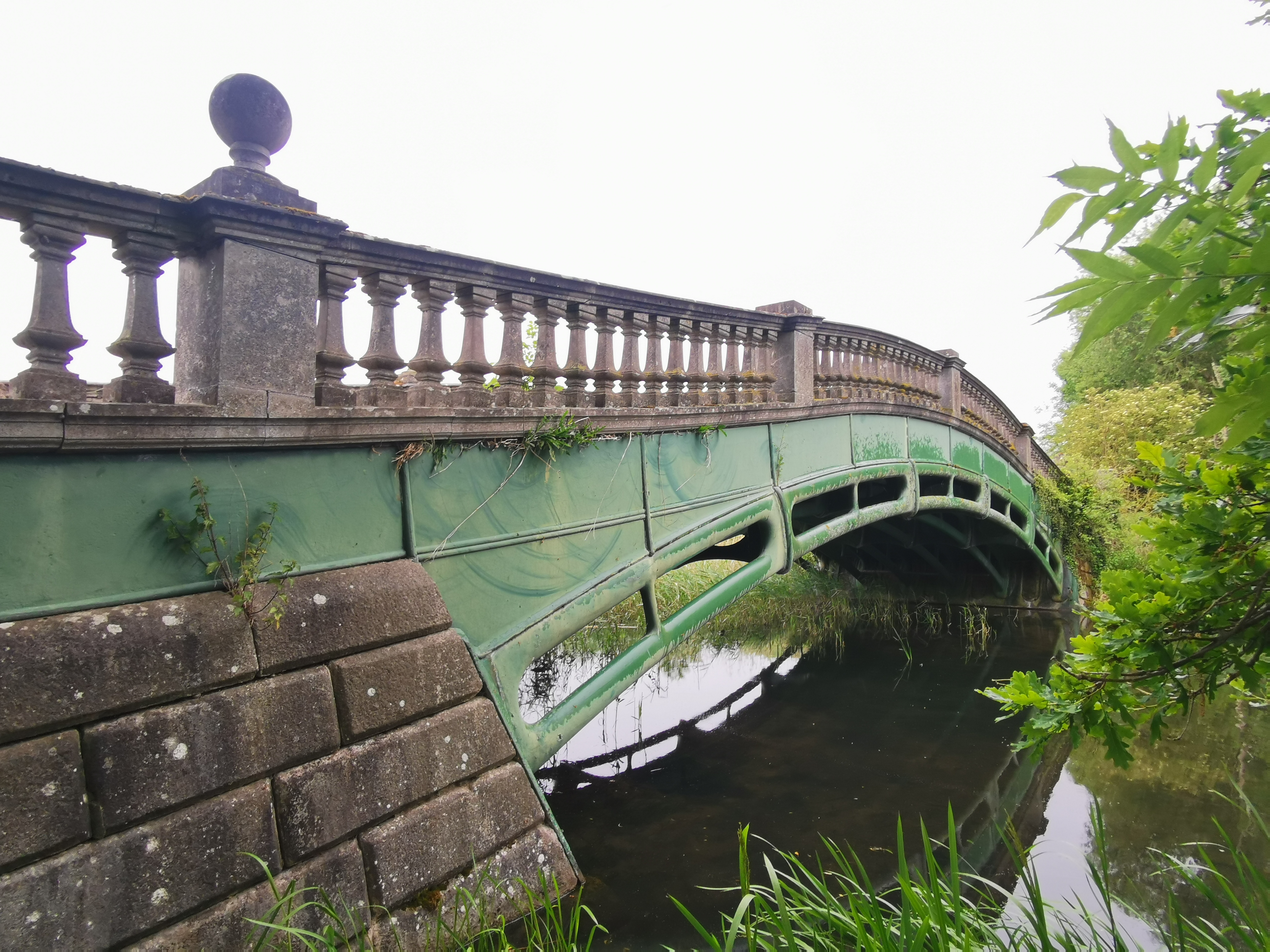
The Iron Bridge, Culford Park
The Iron Bridge is a grade I listed early cast iron bridge crossing a tributary of the River Lark in grounds of Culford Park in the village of Culford...

Culford School
Culford School is a co-educational private boarding and day school for pupils age 1–18 in the village of Culford, 4 miles (6.4 km) miles north of Bury...

Culford Park
Culford Park in Culford, Suffolk, England, is a country house that is the former seat of the Bacon, Cornwallis and Cadogan families, and now it is the...

West Stow Anglo-Saxon Village
West Stow Anglo-Saxon Village is an archaeological site and an open-air museum located near to West Stow in Suffolk, eastern England. Evidence for intermittent...
Nearby Amenities
Located within 500m of 52.326412,0.67678784Have you been to Chequers Belt?
Leave your review of Chequers Belt below (or comments, questions and feedback).