Brandon Plantation

Wood, Forest in Suffolk West Suffolk

England

Brandon Plantation

Elveden: One of many entrances to the King's Forest
Elveden: One of many entrances to the King's Forest Credit: Michael Garlick

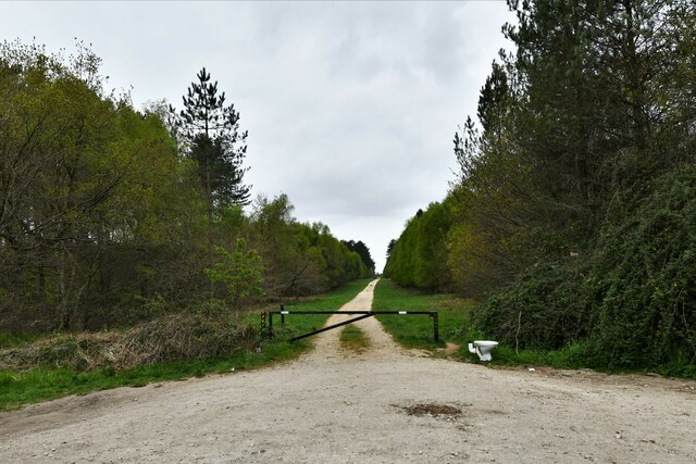
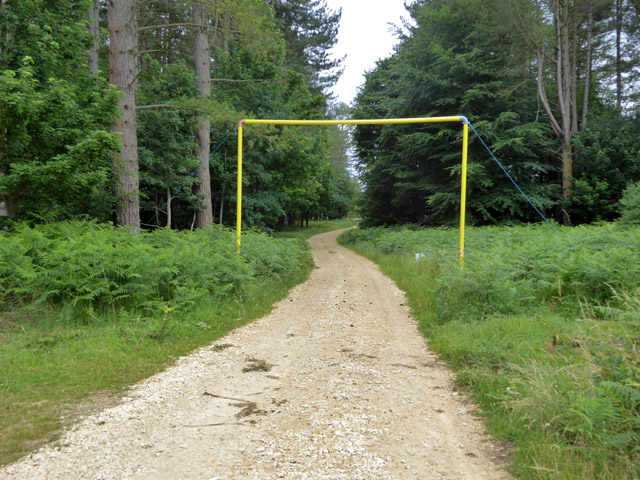
Located in Suffolk, England, Brandon Plantation is a picturesque woodland area known for its rich forest and natural beauty. Covering a sprawling landscape, the plantation is a popular destination for nature enthusiasts and those seeking tranquility amidst the lush greenery.

The plantation boasts a diverse range of trees, including oak, beech, and ash, which provide a home to various wildlife species. Visitors can explore the woodland trails that wind through the plantation, allowing them to immerse themselves in the peaceful ambiance and observe the local flora and fauna. The dense forest offers ample opportunities for birdwatching, with species such as woodpeckers, owls, and thrushes frequently spotted.

In addition to its natural wonders, Brandon Plantation offers recreational activities for visitors of all ages. The plantation features picnic areas and designated spots for barbecues, allowing families and friends to enjoy a day out surrounded by nature. Adventure enthusiasts can engage in activities like hiking, cycling, and even horseback riding along the well-maintained trails.

The plantation is easily accessible, with ample parking facilities and well-marked entrances. It is open to the public year-round, although certain areas may be restricted during specific times to protect nesting birds or facilitate reforestation efforts. Local authorities ensure that the plantation remains clean and safe for visitors, with regular maintenance and surveillance.

Overall, Brandon Plantation in Suffolk is a natural haven that offers a harmonious blend of scenic beauty, recreational activities, and wildlife encounters. It serves as a cherished destination for locals and tourists alike, providing an escape from the hustle and bustle of daily life in a serene woodland setting.

If you have any feedback on the listing, please let us know in the comments section below.

Brandon Plantation Images

Images are sourced within 2km of 52.333951/0.67465962 or Grid Reference TL8274. Thanks to Geograph Open Source API. All images are credited.

Elveden: One of many entrances to the King's Forest
Elveden: One of many entrances to the King's Forest A discarded toilet.
Elveden: One of many entrances to the King's Forest
A discarded toilet.
Wordwell: The King's Forest
Wordwell: One of many entrances to The King's Forest
Wordwell Hall Wordwell Hall is Grade II listed and is thought to date from the 16th century. See: <span class="nowrap"><a title="https://historicengland.org.uk/listing/the-list/list-entry/1031270?section=official-list-entry" rel="nofollow ugc noopener" href="https://historicengland.org.uk/listing/the-list/list-entry/1031270?section=official-list-entry">Link</a><img style="margin-left:2px;" alt="External link" title="External link - shift click to open in new window" src="https://s1.geograph.org.uk/img/external.png" width="10" height="10"/></span>
Wordwell Hall
Wordwell Hall is Grade II listed and is thought to date from the 16th century. See: LinkExternal link
Poplar trees Poplar trees pictured at 4am just as dawn is coming up and the mist is lifting.
Poplar trees
Poplar trees pictured at 4am just as dawn is coming up and the mist is lifting.
Weststow Road A public byway through King's Forest, long and straight.
Weststow Road
A public byway through King's Forest, long and straight.
Weststow Road A public byway through King's Forest, long and straight.
Weststow Road
A public byway through King's Forest, long and straight.
Open block, King's Forest Forestry Commission woodland.
Open block, King's Forest
Forestry Commission woodland.
Fire reservoir, King's Forest Looking like an extremely low profile shed.
Fire reservoir, King's Forest
Looking like an extremely low profile shed.
Open area, King's Forest This appears to have been open for some good time.
Open area, King's Forest
This appears to have been open for some good time.
Ride, King's Forest To the right is mapped as Brandon Plantation, which seems to have broad-leaved trees in an area largely of conifers.
Ride, King's Forest
To the right is mapped as Brandon Plantation, which seems to have broad-leaved trees in an area largely of conifers.
Loading gauge on forestry track This is because there is an overhead power line roughly above the camera position. There is another one on the other side of the power line.
Loading gauge on forestry track
This is because there is an overhead power line roughly above the camera position. There is another one on the other side of the power line.
Ride, King's Forest The yellow plant is Lady's Bedstraw. There was a great deal of this about in the sandy soil in open areas.
Ride, King's Forest
The yellow plant is Lady's Bedstraw. There was a great deal of this about in the sandy soil in open areas.
Timber stack, King's Forest The signs give various safety warnings, in particular to keep off the timber stacks.
Timber stack, King's Forest
The signs give various safety warnings, in particular to keep off the timber stacks.
Bladder Campion, Silene vulgaris In a grassy area of King's Forest.
Bladder Campion, Silene vulgaris
In a grassy area of King's Forest.
Webs on gorse I had a look at the easier bits to get at and could not see anything - I was expecting sawfly larvae (that look like caterpillars): some communal species protect the colony with such webbing. In looking things up later, I found this is the work of gorse spider mites. I had overlooked, and probably could not get close to, the orange bits at some of the vertices. These are doubtless huddles of the tiny mites, Tetranychus lintearius.
Webs on gorse
I had a look at the easier bits to get at and could not see anything - I was expecting sawfly larvae (that look like caterpillars): some communal species protect the colony with such webbing. In looking things up later, I found this is the work of gorse spider mites. I had overlooked, and probably could not get close to, the orange bits at some of the vertices. These are doubtless huddles of the tiny mites, Tetranychus lintearius.
Scots Pines in The King's Forest The trees in this belt seem older than those around about. It looks like the belt has been there for over 100 years (it is on the 1882 OS map) when either side was heathland.
Scots Pines in The King's Forest
The trees in this belt seem older than those around about. It looks like the belt has been there for over 100 years (it is on the 1882 OS map) when either side was heathland.
Show me another place!

Brandon Plantation is located at Grid Ref: TL8274 (Lat: 52.333951, Lng: 0.67465962)

Administrative County: Suffolk

District: West Suffolk

Police Authority: Suffolk

What 3 Words

///pinch.anguished.incorrect. Near Great Barton, Suffolk

Related Wikis

Wordwell

Wordwell is a small village and civil parish in Suffolk, England, about five miles North of Bury St Edmunds. The village was hit by the Black Death in...

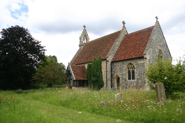
All Saints Church, Wordwell

All Saints Church is a redundant Anglican church in the village of Wordwell, Suffolk, England. It is recorded in the National Heritage List for England...

West Stow Hall

West Stow Hall is a Tudor manor house in West Stow, Suffolk, England, near Bury St Edmunds. It was begun in around 1520 for Sir John Croftes, Master of...

Seven Hills Halt railway station

Seven Hills Halt railway station was a railway station in Suffolk, England on the branch line between Thetford and Bury St Edmunds. It was closed in 1953...

West Stow

West Stow is a small village and civil parish in West Suffolk, England. The village lies north of Bury St. Edmunds, south of Mildenhall and Thetford and...

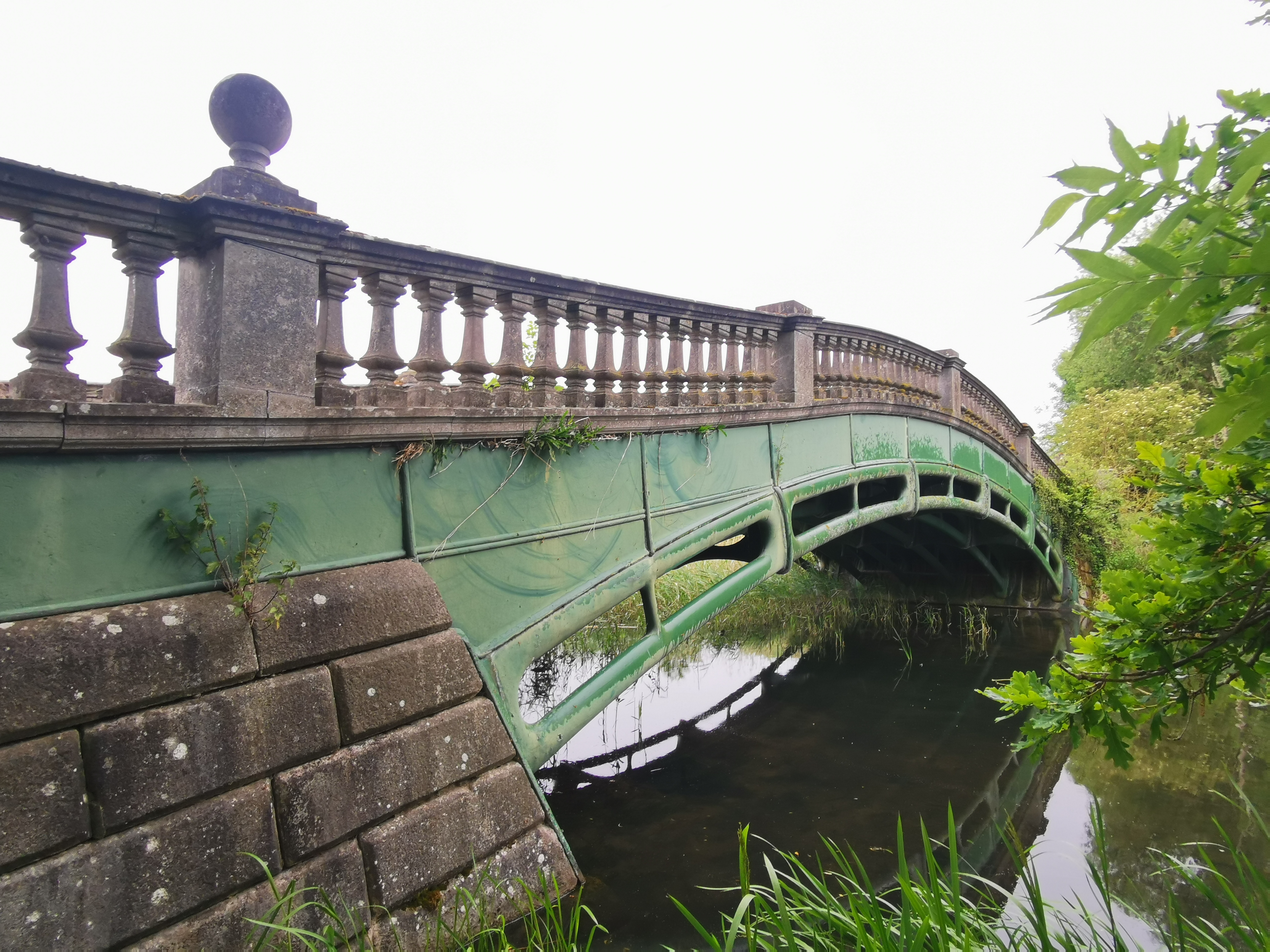
The Iron Bridge, Culford Park

The Iron Bridge is a grade I listed early cast iron bridge crossing a tributary of the River Lark in grounds of Culford Park in the village of Culford...

Culford School

Culford School is a co-educational private boarding and day school for pupils age 1-18 in the village of Culford, 4 miles (6.4 km) miles north of Bury...

West Stow Anglo-Saxon Village

West Stow Anglo-Saxon Village is an archaeological site and an open-air museum located near to West Stow in Suffolk, eastern England. Evidence for intermittent...

Nearby Amenities

Located within 500m of 52.333951,0.67465962
Fixme: incomplete
Lat/Long: 52.3354703/0.6698764
Fixme: incomplete
Lat/Long: 52.3356794/0.6691759
Barrier: lift_gate
Lat/Long: 52.331871/0.6792976
The data included in this document is from www.openstreetmap.org. The data is made available under ODbL.

Have you been to Brandon Plantation?

Leave your review of Brandon Plantation below (or comments, questions and feedback).