Fontainebleau Grove
Wood, Forest in Suffolk West Suffolk
England
Fontainebleau Grove
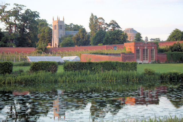
Fontainebleau Grove is a picturesque woodland located in the county of Suffolk, England. Situated in the heart of the Suffolk countryside, this enchanting forest is renowned for its natural beauty and rich history.
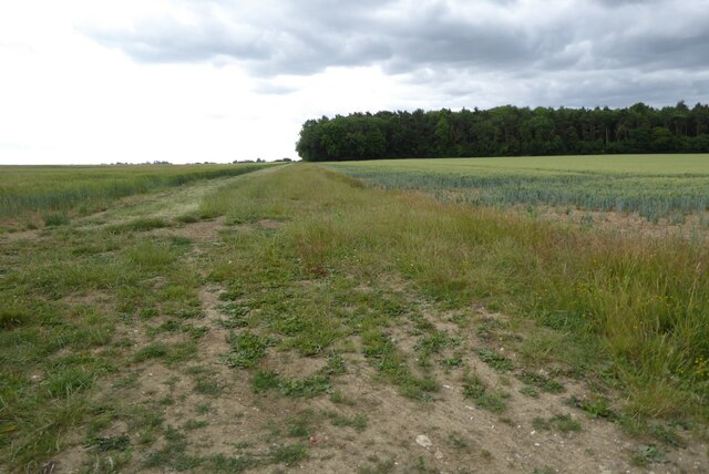
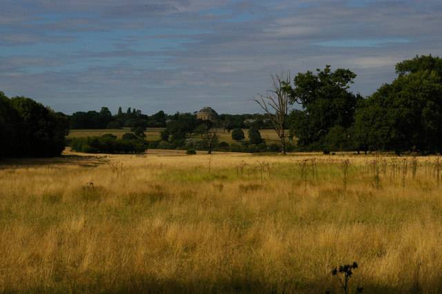
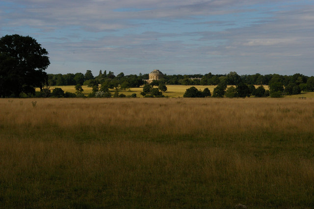
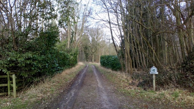
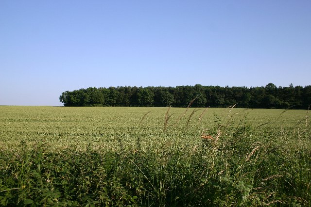
Covering an area of approximately 500 acres, Fontainebleau Grove is home to a diverse range of flora and fauna. The woodland is predominantly composed of ancient oak and beech trees, which create a dense canopy overhead and offer a sense of tranquility to visitors. The forest floor is adorned with a vibrant carpet of wildflowers and ferns, adding to the area's natural charm.
Fontainebleau Grove has a long and fascinating history. It is believed to have been used as a hunting ground for nobility during medieval times and remnants of ancient hunting lodges can still be found scattered throughout the forest. Today, the woodland is a popular destination for outdoor enthusiasts, offering a plethora of activities such as hiking, birdwatching, and nature photography.
The forest is also home to a variety of wildlife, including deer, rabbits, and a wide array of bird species. It provides a crucial habitat for many rare and endangered species, making it a site of great ecological importance.
Fontainebleau Grove is open to the public year-round, allowing visitors to immerse themselves in the beauty of nature and experience the tranquility of the Suffolk countryside. Whether it's exploring the winding woodland trails, enjoying a picnic amidst the ancient trees, or simply admiring the stunning scenery, Fontainebleau Grove offers a memorable and rejuvenating experience for all who visit.
If you have any feedback on the listing, please let us know in the comments section below.
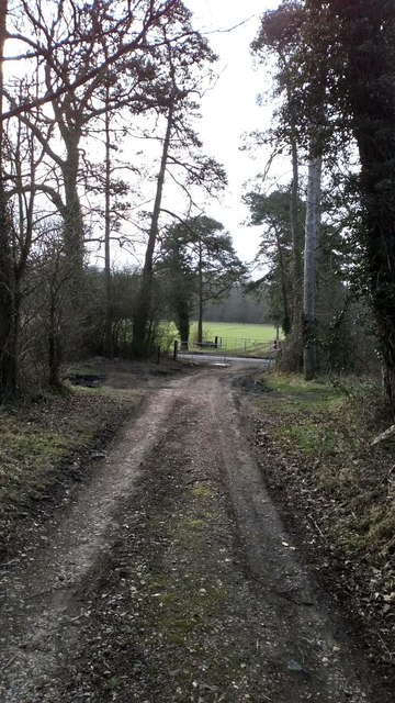
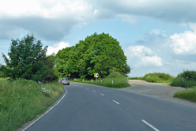
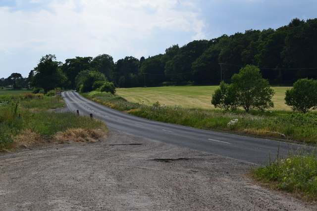
Fontainebleau Grove Images
Images are sourced within 2km of 52.216746/0.66561845 or Grid Reference TL8260. Thanks to Geograph Open Source API. All images are credited.


Fontainebleau Grove is located at Grid Ref: TL8260 (Lat: 52.216746, Lng: 0.66561845)
Administrative County: Suffolk
District: West Suffolk
Police Authority: Suffolk
What 3 Words
///preparing.tuxedos.rezoning. Near Bury St Edmunds, Suffolk
Nearby Locations
Related Wikis
Ickworth
Ickworth is a small civil parish, almost coextensive with the estate of the National Trust's Ickworth House, in the West Suffolk district of Suffolk, eastern...

Ickworth House
Ickworth House is a country house at Ickworth, near Bury St Edmunds, Suffolk, England. It is a neoclassical building set in parkland. The house was the...

Horringer
Horringer, formerly also called Horningsheath, is a village and civil parish in the West Suffolk district of Suffolk in eastern England. It lies on the...

St Mary's Church, Ickworth
Ickworth Church (more formally known as St Mary's Church, Ickworth) is a former parish church in Ickworth Park near Bury St Edmunds in Suffolk, England...

Little Horringer Hall
Little Horringer Hall is a Grade II-listed house in Horringer, Bury St Edmunds, Suffolk, England.There has been a hall in this location since the 17th...
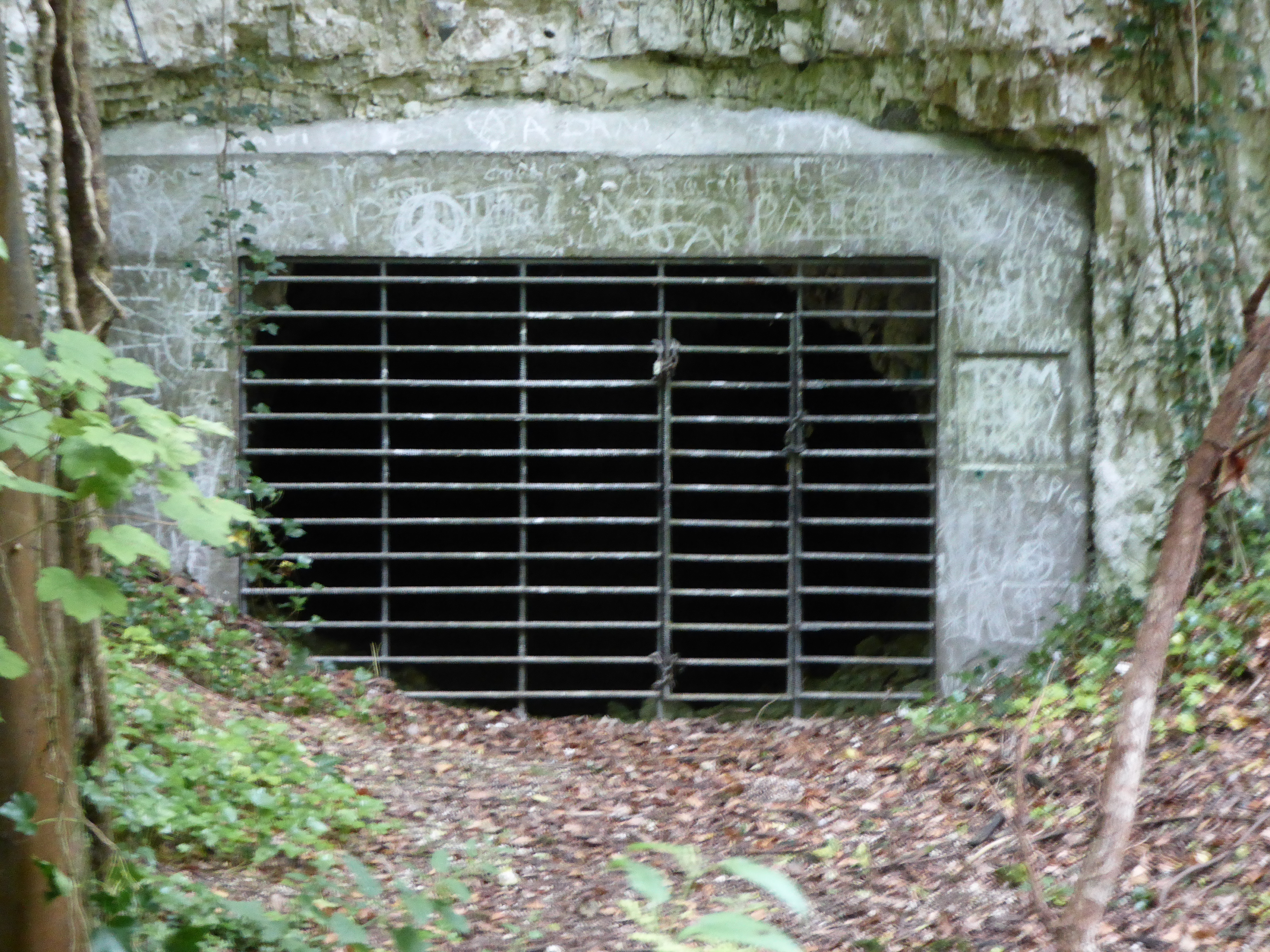
Horringer Court Caves
Horringer Court Caves is a 3.8-hectare (9.4-acre) biological Site of Special Scientific Interest on the southern outskirts of Bury St Edmunds in Suffolk...

Thingoe Rural District
Thingoe Rural District was a rural district in the county of West Suffolk, England between 1894 and 1974. It was named after the ancient Hundred of Thingoe...

Whepstead
Whepstead is a village and civil parish in the West Suffolk district of Suffolk in eastern England, located south of Bury St Edmunds. Once the property...
Nearby Amenities
Located within 500m of 52.216746,0.66561845Have you been to Fontainebleau Grove?
Leave your review of Fontainebleau Grove below (or comments, questions and feedback).