Howe Court Wood
Wood, Forest in Kent Maidstone
England
Howe Court Wood

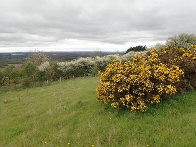
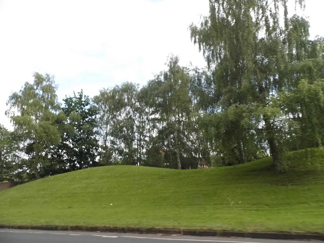
Howe Court Wood is a beautiful woodland located in the county of Kent, England. Covering an area of approximately 50 acres, it is nestled within the picturesque countryside near the village of Goudhurst. The wood is owned and managed by the Forestry Commission.
The wood is predominantly made up of broadleaf trees, including oak, beech, and ash, which create a dense and lush canopy overhead. This provides a haven for a variety of wildlife, including deer, foxes, and a wide array of bird species. The woodland floor is also rich in flora, with bluebells, wild garlic, and wood anemones carpeting the ground in spring.
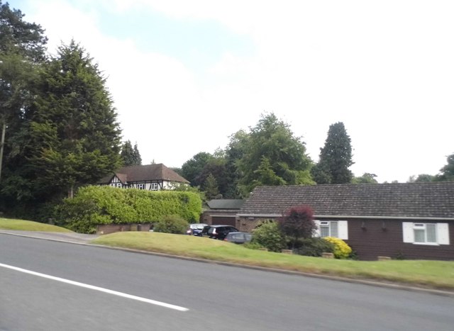
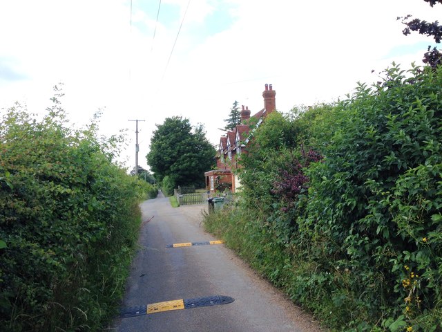
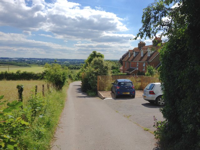
Howe Court Wood offers visitors a peaceful and tranquil environment to explore and enjoy nature. A network of well-maintained footpaths winds through the wood, allowing visitors to take leisurely strolls and discover its hidden treasures. There are also designated picnic areas where families can relax and soak up the tranquil surroundings.
The wood is a popular destination for nature enthusiasts, walkers, and photographers, who are drawn to its natural beauty and abundant wildlife. It offers a respite from the hustle and bustle of everyday life, providing an opportunity to connect with nature and enjoy the serenity of the countryside.
Overall, Howe Court Wood in Kent is a charming woodland that offers a delightful escape into nature. Its diverse range of trees, wildlife, and picturesque scenery make it a must-visit destination for anyone seeking a peaceful retreat in the heart of the English countryside.
If you have any feedback on the listing, please let us know in the comments section below.
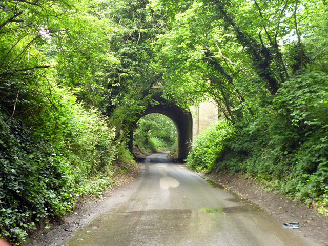
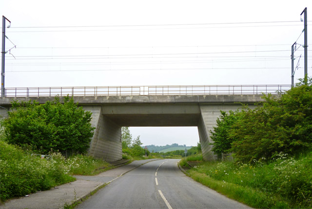
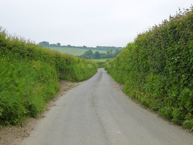
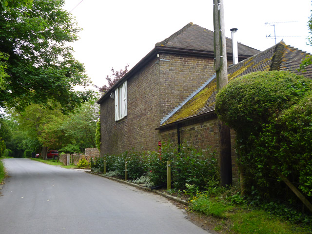
Howe Court Wood Images
Images are sourced within 2km of 51.275258/0.6098402 or Grid Reference TQ8256. Thanks to Geograph Open Source API. All images are credited.


Howe Court Wood is located at Grid Ref: TQ8256 (Lat: 51.275258, Lng: 0.6098402)
Administrative County: Kent
District: Maidstone
Police Authority: Kent
What 3 Words
///masses.baseless.gurgling. Near Harrietsham, Kent
Nearby Locations
Related Wikis

Maidstone services
Maidstone services are a motorway service station directly off Junction 8 of the M20 motorway near Maidstone, England, owned by Roadchef. They were the...

Kent International Gateway
The Kent International Gateway was a proposed logistics hub and strategic rail-freight interchange (SRFI) next to the M20 motorway east of Maidstone. The...
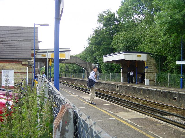
Hollingbourne railway station
Hollingbourne railway station serves Hollingbourne in Kent, England. It was opened in 1884 and is 45 miles 2 chains (72.5 km) down the line from London...
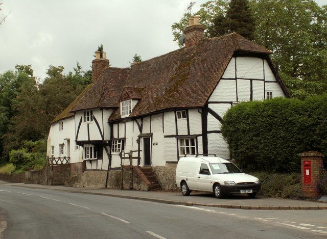
Cotuams House
Cotuams Hall is a Georgian hall in Eyhorne Street near Hollingbourne, Kent, England. == Background == Cotuams House was built on the remains of the ancient...
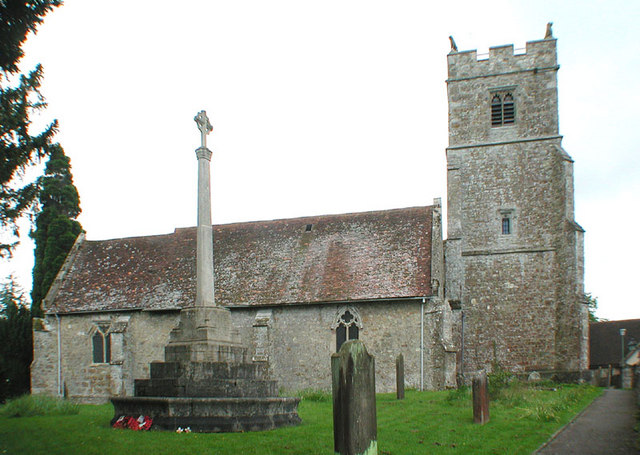
Holy Cross Church, Bearsted
Holy Cross is a parish church of the Church of England in Bearsted, Kent. Its construction begun in the 13th century. == Building == Construction of the...
Snagbrook House
Snagbrook House is a grade II listed house in Hollingbourne, near Maidstone, in the county of Kent, England. It dates from the 16th century but has a 19th...
Bearsted
Bearsted ( BAIR-sted, traditionally BUR-) is a village and civil parish with railway station in mid-Kent, England, two miles (3.2 km) east of Maidstone...

Bearsted railway station
Bearsted railway station serves Bearsted in Kent, England. The station and all trains serving it are operated by Southeastern. It is 42 miles 59 chains...
Nearby Amenities
Located within 500m of 51.275258,0.6098402Have you been to Howe Court Wood?
Leave your review of Howe Court Wood below (or comments, questions and feedback).