Flanshaw

Settlement in Yorkshire

England

Flanshaw

Crossing the line in Wakefield
Crossing the line in Wakefield Credit: Roy Hughes

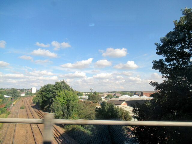
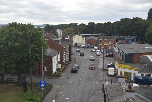
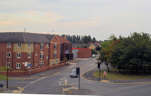
Flanshaw is a small residential area located in the county of West Yorkshire, England. It is situated within the larger city of Wakefield, specifically in the eastern part of the city. Flanshaw is bordered by the neighborhoods of Belle Vue to the north, Newmillerdam to the south, and Lupset to the east.

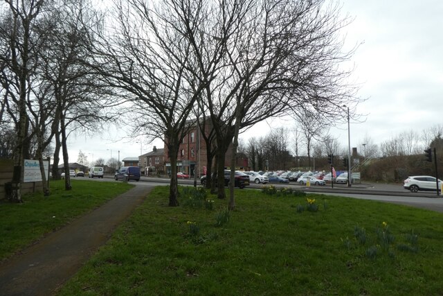
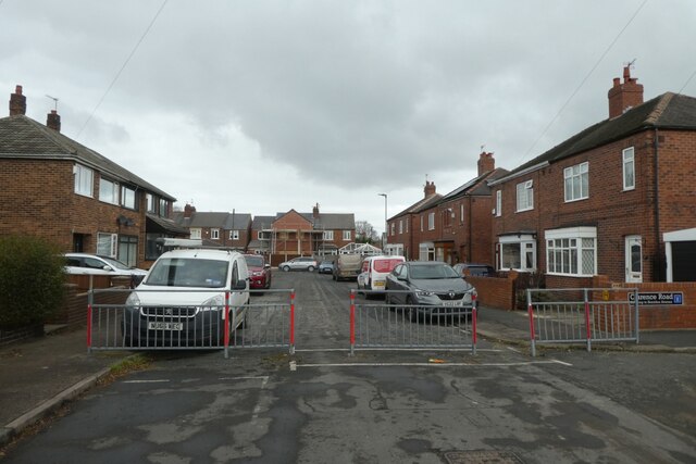
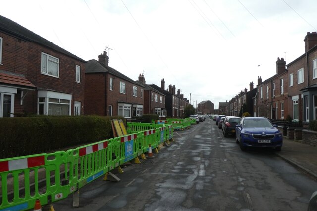
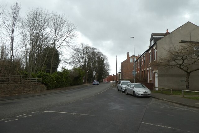
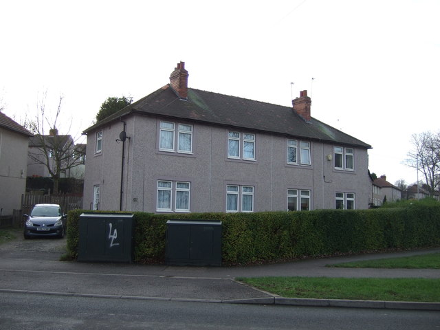
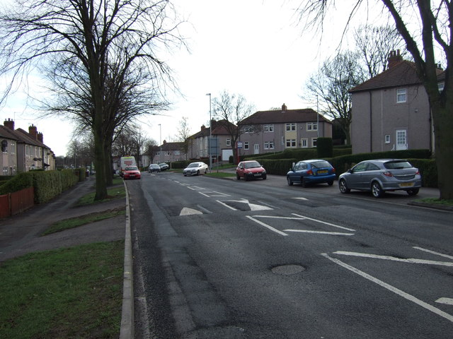
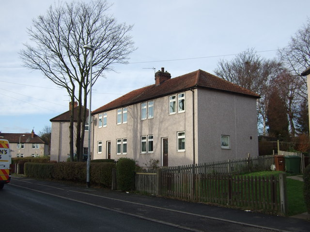
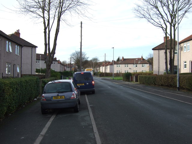
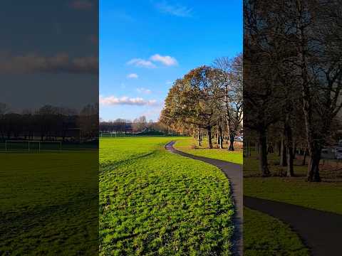
Primarily a suburban area, Flanshaw features a mix of housing types, including detached and semi-detached houses, as well as some apartment buildings. The neighborhood is known for its quiet and peaceful atmosphere, making it an attractive place to live for families and individuals looking for a more relaxed setting.

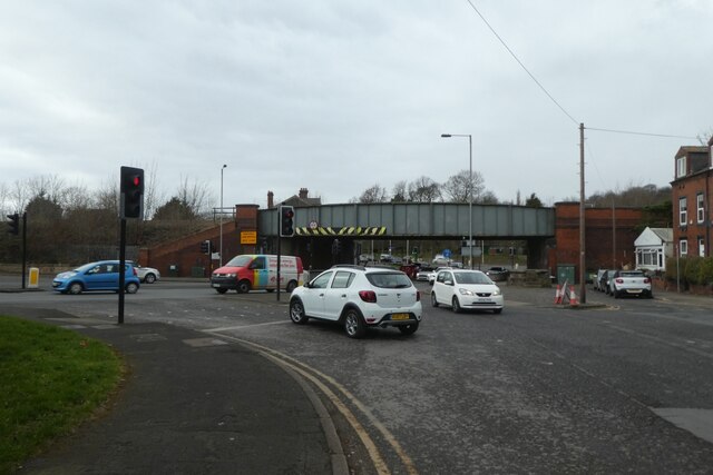
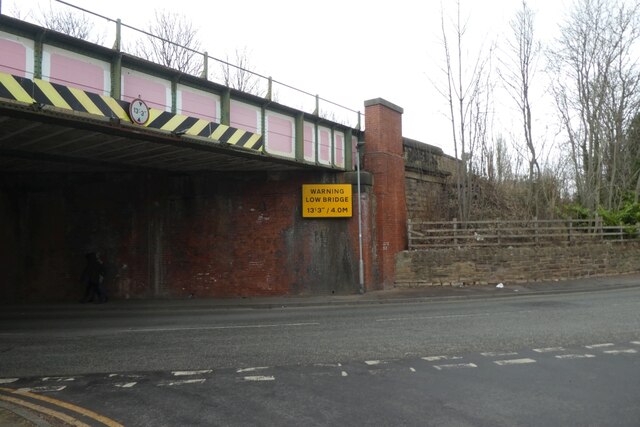
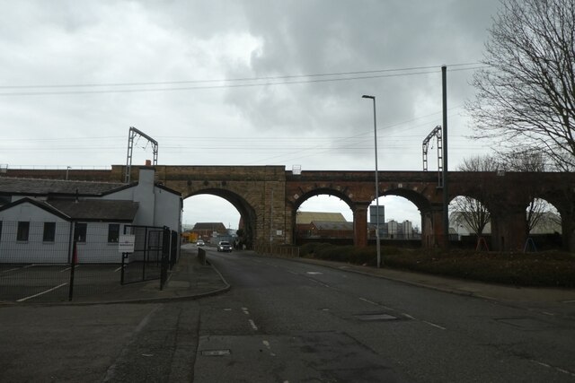
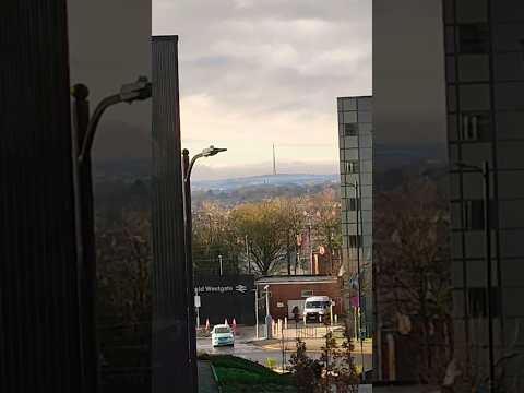
Flanshaw is well-connected to the wider region, with good transport links to Wakefield city center and other nearby towns. The M1 motorway is easily accessible, providing convenient connections to Leeds, Sheffield, and further afield. Additionally, Wakefield Westgate railway station is within reach, offering regular train services to destinations across the country.

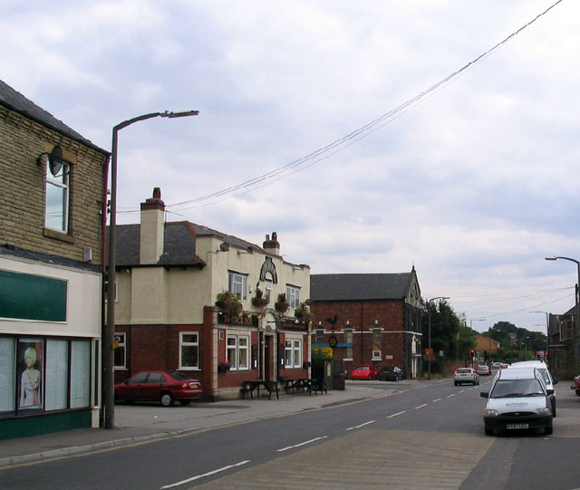
Local amenities in Flanshaw include a small selection of shops, convenience stores, and a local pub. For more extensive shopping and leisure opportunities, residents often visit the nearby town of Wakefield, which offers a wider range of amenities, including shopping centers, restaurants, and entertainment venues.

Overall, Flanshaw offers a peaceful suburban lifestyle with easy access to both urban and rural areas, making it an appealing place to call home within the picturesque Yorkshire region.

If you have any feedback on the listing, please let us know in the comments section below.
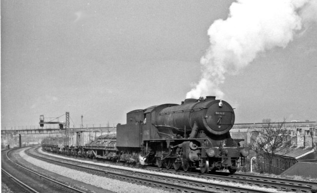
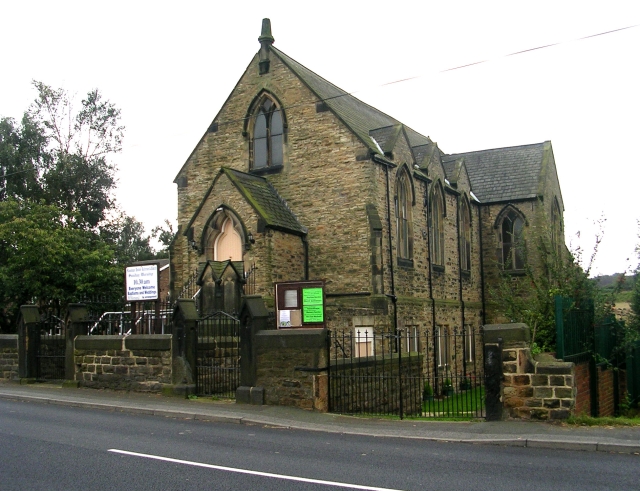
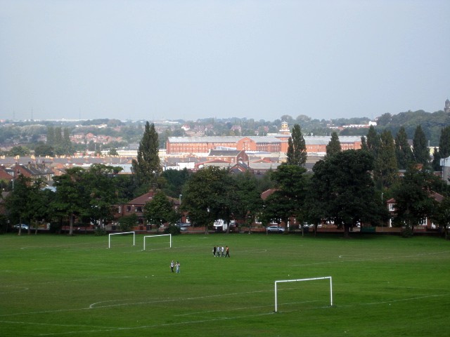
Flanshaw Images

Images are sourced within 2km of 53.682704/-1.523188 or Grid Reference SE3120. Thanks to Geograph Open Source API. All images are credited.

Crossing the line in Wakefield
Denby Dale Road Looking across the grass verge between Holmfield Lane and Denby Dale Road.
Denby Dale Road
Looking across the grass verge between Holmfield Lane and Denby Dale Road.
Denby Dale Road Bridge Looking towards a rail bridge carrying the lines from Wakefield Kirkgate towards Horbury Junction.
Denby Dale Road Bridge
Looking towards a rail bridge carrying the lines from Wakefield Kirkgate towards Horbury Junction.
Traffic calming on Major Street The road is divided by these barriers preventing through traffic.
Traffic calming on Major Street
The road is divided by these barriers preventing through traffic.
Fibre installation on Major Street Optic fibres are being buried for broadband installations.
Fibre installation on Major Street
Optic fibres are being buried for broadband installations.
Field Lane meets Thornes Lane Looking onto Thornes Lane with the railway lines to the left.
Field Lane meets Thornes Lane
Looking onto Thornes Lane with the railway lines to the left.
Thornes Lane Bridge Carrying the railway lines between Wakefield Kirkgate and Horbury Junction.
Thornes Lane Bridge
Carrying the railway lines between Wakefield Kirkgate and Horbury Junction.
Viaduct for the Doncaster and Leeds lines Looking along Thornes Lane towards the viaduct carrying the railway south of Wakefield Westgate station.
Viaduct for the Doncaster and Leeds lines
Looking along Thornes Lane towards the viaduct carrying the railway south of Wakefield Westgate station.
Thornes Lane
Thornes Lane
Pinch Stile, Dacre Avenue
Road junction of Holmsfield Lane and Denby Dale road Denby Dale road passes under railway bridge at this point and is seen in right foreground. Viewed from railway bridge
Road junction of Holmsfield Lane and Denby Dale road
Denby Dale road passes under railway bridge at this point and is seen in right foreground. Viewed from railway bridge
Wild fowl Lake, Thornes Park, Wakefield A large lake (partially iced over on this very cold March day) at the lower end of this lovely park (one of 3 parks in one large area).  On this particular day there were very many Canada Geese and gulls, far outnumbering the usual ducks!
Wild fowl Lake, Thornes Park, Wakefield
A large lake (partially iced over on this very cold March day) at the lower end of this lovely park (one of 3 parks in one large area). On this particular day there were very many Canada Geese and gulls, far outnumbering the usual ducks!
Thornes Lane, Wakefield
Houses on George-A-Green Road
George-A-Green Road
George-A-Green Road
Houses on Waterton Road
Waterton Road heading west
Westbound freight west of Wakefield West Junction View NE, towards Wakefield West Junction, Wakefield Kirkgate, Normanton etc.: ex-L&Y Calder Valley main line: the bridge in the background carries the ex-GN (West Riding & Grimsby line) from Hare Park Junction and Doncaster (right) to Wakefield Westgate, Leeds and Bradford (left).  The Class H freight is headed by ex-WD 2-8-0 No. 90362, which was built in 1/44 as No. 7299 (later 77299) and put into Store at Longmoor until shipped to the Continent in 1/45. After working on the Detmold Military Railway in Germany, it returned to England late in 1947 and was stored at Dovercourt Bay until 6/49 - longer than most, then put to work on the LMR. It was one of the large number of 'Austerities' which ousted the LMS Fowler 7F 0-8-0s on the Central Division and lasted until 6/67.
Westbound freight west of Wakefield West Junction
View NE, towards Wakefield West Junction, Wakefield Kirkgate, Normanton etc.: ex-L&Y Calder Valley main line: the bridge in the background carries the ex-GN (West Riding & Grimsby line) from Hare Park Junction and Doncaster (right) to Wakefield Westgate, Leeds and Bradford (left). The Class H freight is headed by ex-WD 2-8-0 No. 90362, which was built in 1/44 as No. 7299 (later 77299) and put into Store at Longmoor until shipped to the Continent in 1/45. After working on the Detmold Military Railway in Germany, it returned to England late in 1947 and was stored at Dovercourt Bay until 6/49 - longer than most, then put to work on the LMR. It was one of the large number of 'Austerities' which ousted the LMS Fowler 7F 0-8-0s on the Central Division and lasted until 6/67.
Show me another place!

Flanshaw is located at Grid Ref: SE3120 (Lat: 53.682704, Lng: -1.523188)

Division: West Riding

Unitary Authority: Wakefield

Police Authority: West Yorkshire

What 3 Words

///cube.themes.youth. Near Wakefield, West Yorkshire

Related Wikis

Flanshaw

Flanshaw is a suburb of Wakefield in West Yorkshire, England. It is located to the west of the city centre and is administered by the City of Wakefield...

Alverthorpe railway station

Alverthorpe railway station served the village of Alverthorpe near Wakefield in the English county of West Yorkshire. == History == Opened by the Bradford...

Alverthorpe

Alverthorpe is a suburb of, and former village in Wakefield, West Yorkshire, England. == History == After the start of the Industrial Revolution woollen...

HM Prison Wakefield

His Majesty's Prison Wakefield is a Category A men's prison in Wakefield, West Yorkshire, England, operated by His Majesty's Prison Service. The prison...

Related Videos

Nearby Amenities

Located within 500m of 53.682704,-1.523188
Traffic Signals
Lat/Long: 53.6863734/-1.5238265
Turning Circle
Lat/Long: 53.6818526/-1.5223345
Post Box
Operator: Royal Mail
Operator Wikidata: Q638098
Post Box Type: lamp
Ref: WF2 62
Lat/Long: 53.681256/-1.517544
Mini Roundabout
Direction: clockwise
Lat/Long: 53.6807693/-1.5169035
Turning Circle
Lat/Long: 53.6795365/-1.5221066
Turning Circle
Lat/Long: 53.6838074/-1.5210292
Turning Circle
Lat/Long: 53.6841916/-1.5210726
Turning Circle
Lat/Long: 53.6853008/-1.5244472
Turning Circle
Lat/Long: 53.6847133/-1.5207976
Turning Circle
Lat/Long: 53.6816112/-1.5213028
Turning Circle
Lat/Long: 53.6805934/-1.5294845
Crossing
Crossing: traffic_signals
Crossing Ref: pelican
Kerb: flush
Tactile Paving: yes
Lat/Long: 53.6864402/-1.5240621
Turning Circle
Lat/Long: 53.68451/-1.5259229
Turning Circle
Lat/Long: 53.6854527/-1.5272501
Turning Circle
Lat/Long: 53.685972/-1.5246786
Turning Circle
Lat/Long: 53.6854908/-1.5250641
Post Box
Operator: Royal Mail
Post Box Type: pillar
Ref: WF2 243
Lat/Long: 53.6835709/-1.5259038
Crossing
Crossing: traffic_signals
Crossing Ref: pelican
Kerb: flush
Tactile Paving: yes
Lat/Long: 53.6863262/-1.5235867
Traffic Signals
Crossing: traffic_signals
Crossing Ref: pelican
Kerb: flush
Tactile Paving: yes
Lat/Long: 53.6854841/-1.5198282
Power: substation
Lat/Long: 53.6853929/-1.523556
Post Box
Note: Inside Morrisons, at rear of cash registers
Operator: Royal Mail
Post Box Type: pillar
Ref: WF1 300
Lat/Long: 53.6791308/-1.5245311
Bus Stop
Flanshaw Hotel Flanshaw Road
Local Ref: 45019667
Naptan AtcoCode: 450019667
Naptan Bearing: NE
Naptan CommonName: Flanshaw Hotel Flanshaw Road
Naptan Crossing: Flanshaw View
Naptan Indicator: Stop 45019667
Naptan Landmark: Flanshaw PH
Naptan PlusbusZoneRef: LEEDS
Naptan ShortCommonName: Flanshaw View
Naptan Street: Flanshaw Road
Naptan Verified: yes
Shelter: yes
Source: naptan_import
Lat/Long: 53.6815557/-1.5282063
Bus Stop
Flanshaw Road Flanshaw Avenue
Local Ref: 45019668
Naptan AtcoCode: 450019668
Naptan Bearing: NE
Naptan CommonName: Flanshaw Road Flanshaw Avenue
Naptan Crossing: Flanshaw Avenue
Naptan Indicator: Stop 45019668
Naptan PlusbusZoneRef: LEEDS
Naptan ShortCommonName: Flanshaw Avenue
Naptan Street: Flanshaw Road
Naptan Verified: yes
Source: naptan_import
Lat/Long: 53.6819666/-1.5267139
Bus Stop
Flanshaw Road Derwent Road
Bus: yes
Local Ref: 45019669
Naptan AtcoCode: 450019669
Naptan Bearing: SW
Naptan CommonName: Flanshaw Road Derwent Road
Naptan Crossing: Derwent Road
Naptan Indicator: Stop 45019669
Naptan Landmark: YE Sub Station
Naptan PlusbusZoneRef: LEEDS
Naptan ShortCommonName: Derwent Road
Naptan Street: Flanshaw Road
Naptan Verified: yes
Public Transport: platform
Source: naptan_import
Lat/Long: 53.6844839/-1.525331
Bus Stop
Flanshaw Road Borrowdale Road
Bus: yes
Local Ref: 45019670
Naptan AtcoCode: 450019670
Naptan Bearing: NE
Naptan CommonName: Flanshaw Road Borrowdale Road
Naptan Crossing: Borrowdale Road
Naptan Indicator: Stop 45019670
Naptan PlusbusZoneRef: LEEDS
Naptan ShortCommonName: Borrowdale Road
Naptan Street: Flanshaw Road
Naptan Verified: yes
Public Transport: platform
Source: naptan_import
Lat/Long: 53.6847354/-1.5252979
Bus Stop
Flanshaw Road Batley Road
Bus: yes
Local Ref: 45019671
Naptan AtcoCode: 450019671
Naptan Bearing: NE
Naptan CommonName: Flanshaw Road Batley Road
Naptan Crossing: Batley Road
Naptan Indicator: Stop 45019671
Naptan Landmark: School
Naptan PlusbusZoneRef: LEEDS
Naptan ShortCommonName: Batley Road
Naptan Street: Flanshaw Road
Naptan Verified: yes
Public Transport: platform
Source: naptan_import
Lat/Long: 53.6859491/-1.5243163
Bus Stop
Flanshaw Road Thirlmere Road
Local Ref: 45019672
Naptan AtcoCode: 450019672
Naptan Bearing: SW
Naptan CommonName: Flanshaw Road Thirlmere Road
Naptan Indicator: Stop 45019672
Naptan PlusbusZoneRef: LEEDS
Naptan ShortCommonName: Flanshaw Road
Naptan Street: Flanshaw Road
Naptan Verified: yes
Source: naptan_import
Lat/Long: 53.6828525/-1.5264405
Bus Stop
Flanshaw Road Denhale Avenue
Bus: yes
Local Ref: 45019673
Naptan AtcoCode: 450019673
Naptan Bearing: SW
Naptan CommonName: Flanshaw Road Denhale Avenue
Naptan Crossing: Denhale Avenue
Naptan Indicator: Stop 45019673
Naptan Notes: Size 1 case fitted by OSR removed not to be replaced - email from MB 140905 - GT to rephoto.
Naptan PlusbusZoneRef: LEEDS
Naptan ShortCommonName: Denhale Avenue
Naptan Street: Flanshaw Road
Naptan Verified: yes
Public Transport: platform
Source: naptan_import
Lat/Long: 53.6813512/-1.5276384
Bus Stop
Dewsbury Road Waterton Road
Bus: yes
Local Ref: 45020489
Naptan AtcoCode: 450020489
Naptan Bearing: E
Naptan CommonName: Dewsbury Road Waterton Road
Naptan Crossing: Waterton Road
Naptan Indicator: Stop 45020489
Naptan PlusbusZoneRef: LEEDS
Naptan ShortCommonName: Waterton Road
Naptan Street: Dewsbury Road
Naptan Verified: yes
Public Transport: platform
Shelter: yes
Source: naptan_import
Timetable: yes
Lat/Long: 53.6782939/-1.5228129
Bus Stop
Alverthorpe Road Denhale Avenue
Bus: yes
Local Ref: 45020494
Naptan AtcoCode: 450020494
Naptan Bearing: SE
Naptan CommonName: Alverthorpe Road Denhale Avenue
Naptan Crossing: Denhale Avenue
Naptan Indicator: Stop 45020494
Naptan Notes: Timetable case to be fitted by contractor
Naptan PlusbusZoneRef: LEEDS
Naptan ShortCommonName: Denhale Avenue
Naptan Street: Alverthorpe Road
Naptan Verified: yes
Public Transport: platform
Shelter: yes
Source: naptan_import
Timetable: yes
Lat/Long: 53.6810667/-1.5171645
Bus Stop
Alverthorpe Road Henry Street
Bus: yes
Local Ref: 45020495
Naptan AtcoCode: 450020495
Naptan Bearing: NW
Naptan CommonName: Alverthorpe Road Henry Street
Naptan Crossing: Henry Street
Naptan Indicator: Stop 45020495
Naptan PlusbusZoneRef: LEEDS
Naptan ShortCommonName: Henry Street
Naptan Street: Alverthorpe Road
Naptan Verified: yes
Public Transport: platform
Source: naptan_import
Lat/Long: 53.6814133/-1.5176286
Bus Stop
New Scarborough Rufford Street
Bus: yes
Local Ref: 45020496
Naptan AtcoCode: 450020496
Naptan Bearing: S
Naptan CommonName: New Scarborough Rufford Street
Naptan Crossing: Moorhouse Avenue
Naptan Indicator: Stop 45020496
Naptan PlusbusZoneRef: LEEDS
Naptan ShortCommonName: Moorhouse Avenue
Naptan Street: Alverthorpe Road
Naptan Verified: yes
Public Transport: platform
Shelter: yes
Source: naptan_import
Lat/Long: 53.6824405/-1.517717
Bus Stop
New Scarborough Rufford Street
Bus: yes
Local Ref: 45020497
Naptan AtcoCode: 450020497
Naptan Bearing: N
Naptan CommonName: New Scarborough Rufford Street
Naptan Crossing: Adj-At Rufford Street
Naptan Indicator: Stop 45020497
Naptan PlusbusZoneRef: LEEDS
Naptan ShortCommonName: Rufford Street
Naptan Street: Alverthorpe Road
Naptan Verified: yes
Public Transport: platform
Source: naptan_import
Lat/Long: 53.6832052/-1.5180889
Bus Stop
Batley Road Peacock Avenue
Bus: yes
Local Ref: 45020500
Naptan AtcoCode: 450020500
Naptan Bearing: E
Naptan CommonName: Batley Road Peacock Avenue
Naptan Crossing: Peacock Avenue
Naptan Indicator: Stop 45020500
Naptan PlusbusZoneRef: LEEDS
Naptan ShortCommonName: Peacock Avenue
Naptan Street: Batley Road
Naptan Verified: yes
Public Transport: platform
Shelter: yes
Source: naptan_import
Lat/Long: 53.6857508/-1.5209912
Bus Stop
Batley Road Peacock Avenue
Bus: yes
Local Ref: 45022201
Naptan AtcoCode: 450022201
Naptan Bearing: W
Naptan CommonName: Batley Road Peacock Avenue
Naptan Crossing: Peacock Avenue
Naptan Indicator: Stop 45022201
Naptan PlusbusZoneRef: LEEDS
Naptan ShortCommonName: Peacock Avenue
Naptan Street: Batley Road
Naptan Verified: yes
Public Transport: platform
Source: naptan_import
Lat/Long: 53.68555/-1.5206307
Bus Stop
Batley Road Flanshaw Lane
Bus: yes
Local Ref: 45022202
Naptan AtcoCode: 450022202
Naptan Bearing: NW
Naptan CommonName: Batley Road Flanshaw Lane
Naptan Crossing: Flanshaw Lane
Naptan Indicator: Stop 45022202
Naptan Landmark: School
Naptan PlusbusZoneRef: LEEDS
Naptan ShortCommonName: Flanshaw Lane
Naptan Street: Batley Road
Naptan Verified: yes
Public Transport: platform
Source: naptan_import
Lat/Long: 53.6862005/-1.5232751
Bus Stop
Batley Road Flanshaw Lane
Bus: yes
Local Ref: 45022203
Naptan AtcoCode: 450022203
Naptan Bearing: SE
Naptan CommonName: Batley Road Flanshaw Lane
Naptan Crossing: Flanshaw Road
Naptan Indicator: Stop 45022203
Naptan PlusbusZoneRef: LEEDS
Naptan ShortCommonName: Flanshaw Road
Naptan Street: Batley Road
Naptan Verified: yes
Public Transport: platform
Shelter: yes
Source: naptan_import
Lat/Long: 53.6865924/-1.5244398
Bus Stop
Peacock Avenue Batley Road
Bus: yes
Local Ref: 45023860
Naptan AtcoCode: 450023860
Naptan Bearing: S
Naptan CommonName: Peacock Avenue Batley Road
Naptan Crossing: Batley Road
Naptan Indicator: Stop 45023860
Naptan Landmark: Red Lion PH
Naptan PlusbusZoneRef: LEEDS
Naptan ShortCommonName: Batley Road
Naptan Street: Peacock Avenue
Naptan Verified: yes
Public Transport: platform
Source: naptan_import
Lat/Long: 53.6859791/-1.5201085
Bus Stop
Peacock Avenue Batley Road
Bus: yes
Local Ref: 45025903
Naptan AtcoCode: 450025903
Naptan Bearing: N
Naptan CommonName: Peacock Avenue Batley Road
Naptan Crossing: Batley Road
Naptan Indicator: Stop 45025903
Naptan PlusbusZoneRef: LEEDS
Naptan ShortCommonName: Batley Road
Naptan Street: Peacock Avenue
Naptan Verified: yes
Public Transport: platform
Source: naptan_import
Lat/Long: 53.6859886/-1.5202447
Post Box
Operator: Royal Mail
Post Box Type: wall
Ref: WF2 34
Lat/Long: 53.6845982/-1.5188553
Cabinet: pstn
Operator: BT
Ref: 20
Utility: cabinet
Lat/Long: 53.6849383/-1.519315
Cabinet: pstn
Operator: BT
Ref: 52
Utility: cabinet
Lat/Long: 53.6826985/-1.5180386
Cabinet: cable_tv
Operator: Virgin
Utility: cabinet
Lat/Long: 53.6816326/-1.5299071
Cabinet: cable_tv
Operator: Virgin
Utility: cabinet
Lat/Long: 53.6856367/-1.5202202
Parking
Parking: surface
Lat/Long: 53.6836226/-1.5177537
Thirlmere Stores
Addr City: Wakefield
Addr Housenumber: 46
Addr Postcode: WF2 9ER
Addr Street: Thirlmere Road
Fhrs Id: 283697
Shop: convenience
Lat/Long: 53.68331/-1.5244246
Crossing
Button Operated: yes
Crossing: traffic_signals
Crossing Island: no
Tactile Paving: yes
Lat/Long: 53.6783082/-1.5235887
Traffic Signals
Crossing: no
Lat/Long: 53.6782729/-1.5240466
Traffic Signals
Crossing: no
Lat/Long: 53.6783443/-1.5236834
Traffic Signals
Crossing: no
Lat/Long: 53.6783505/-1.5236119
Power: substation
Lat/Long: 53.681172/-1.520394
Barrier: fence
Lat/Long: 53.680998/-1.5204322
Defibrillator
Defibrillator Location: External wall beside garage door
Emergency: defibrillator
Indoor: no
Lat/Long: 53.6840075/-1.5184181
Kindergarten
Little Learners
Addr City: Wakefield
Addr Housename: St Michael's CofE Academy
Addr Postcode: WF2 9JA
Addr Street: Flanshaw Lane
Fhrs Id: 934180
Lat/Long: 53.6798128/-1.5269601
Memorable Moments
Addr City: Wakefield
Addr Housenumber: 26
Addr Postcode: WF2 9HW
Addr Street: Derwent Road
Craft: caterer
Lat/Long: 53.6842783/-1.5229288
Reggies Sweets And Treats
Addr City: Wakefield
Addr Housenumber: 78
Addr Postcode: WF2 9ER
Addr Street: Thirlmere Road
Fhrs Id: 1173548
Not Addr Postcode: WF2
Shop: confectionery
Lat/Long: 53.6837224/-1.5246776
Slimming World
Addr City: Wakefield
Addr Housenumber: 56
Addr Postcode: WF2 9EX
Addr Street: Wasdale Road
Fhrs Id: 1080773
Lat/Long: 53.6847465/-1.5270641
Speed Camera
Direction: 70
Maxspeed: 30 mph
Ref: 334
Lat/Long: 53.6783483/-1.5213785
Crossing
Lat/Long: 53.6783685/-1.5231174
Cafe
Morrisons Cafe
Addr City: Wakefield
Addr Housename: Morrisons Wakefield - Dewsbury Road
Addr Postcode: WF2 9BY
Addr Street: Dewsbury Road
Brand: Morrisons
Brand Wikidata: Q922344
Brand Wikipedia: en:Morrisons
Website: https://my.morrisons.com/storefinder/33/wakefield-dewsbury-road
Lat/Long: 53.6789772/-1.5254411
Recycling
Recycling Type: centre
Lat/Long: 53.6799509/-1.5244646
Parcel Locker
Inpost
Brand: InPost
Brand Wikidata: Q3182097
Brand Wikipedia: pl:InPost
Parcel Mail In: yes
Parcel Pickup: yes
Lat/Long: 53.6792748/-1.5240237
Motorcycle Parking
Lat/Long: 53.6793999/-1.5240702
Bicycle Parking
Lat/Long: 53.6793896/-1.5240363
Atm
Lat/Long: 53.6790408/-1.524461
Entrance: yes
Lat/Long: 53.6791748/-1.5240689
Parcel Locker
Brand: Amazon Hub Locker
Brand Wikidata: Q16974764
Operator: Amazon
Operator Wikidata: Q3884
Operator Wikipedia: en:Amazon (company)
Parcel Locker Type: cabinet
Parcel Mail In: returns_only
Parcel Pickup: yes
Lat/Long: 53.6792424/-1.5242235
Crossing
Lat/Long: 53.6786237/-1.5231301
Crossing
Lat/Long: 53.6788528/-1.5240087
Crossing
Lat/Long: 53.6789802/-1.5241252
Crossing
Button Operated: yes
Crossing: traffic_signals
Crossing Island: no
Tactile Paving: yes
Lat/Long: 53.6782913/-1.5240017
Crossing
Button Operated: yes
Crossing: traffic_signals
Crossing Island: no
Tactile Paving: yes
Lat/Long: 53.6782988/-1.5237033
Crossing
Button Operated: yes
Crossing: traffic_signals
Crossing Island: no
Tactile Paving: yes
Lat/Long: 53.6782756/-1.5238531
Defibrillator
Defibrillator Location: outside on wall near disabled parking
Emergency: defibrillator
Operator: McDonalds
Ref GB The Circuit: AC47899A-C278-4321-BFA1-AE3100AE088E
Lat/Long: 53.6784988/-1.5228899
Place Of Worship
Wakefield Elim Community Church
Addr City: Wakefield
Addr Housename: The Denhale Active Recreation Centre
Addr Postcode: WF2 9EF
Addr Street: Denhale Avenue
Fhrs Id: 1313760
Religion: christian
Lat/Long: 53.6815564/-1.5199582
Fast Food
RS Butties
Addr City: Wakefield
Addr Housenumber: 54
Addr Postcode: WF2 9ER
Addr Street: Thirlmere Road
Fhrs Id: 1371411
Lat/Long: 53.6834507/-1.5243758
Generator Method: photovoltaic
Generator Output Electricity: yes
Generator Source: solar
Generator Type: solar_photovoltaic_panel
Power: generator
Lat/Long: 53.6806901/-1.5176747
Generator Method: photovoltaic
Generator Output Electricity: yes
Generator Source: solar
Generator Type: solar_photovoltaic_panel
Power: generator
Lat/Long: 53.6808264/-1.5173668
Generator Method: photovoltaic
Generator Output Electricity: yes
Generator Source: solar
Generator Type: solar_photovoltaic_panel
Power: generator
Lat/Long: 53.6800591/-1.5177567
Generator Method: photovoltaic
Generator Output Electricity: yes
Generator Source: solar
Generator Type: solar_photovoltaic_panel
Power: generator
Lat/Long: 53.6803109/-1.5186633
Generator Method: photovoltaic
Generator Output Electricity: yes
Generator Source: solar
Generator Type: solar_photovoltaic_panel
Power: generator
Lat/Long: 53.6789267/-1.5211307
Barrier: bollard
Motor Vehicle: no
Lat/Long: 53.6840736/-1.5192974
Sardar UK
Tourism: apartment
Lat/Long: 53.6816122/-1.5175124
The data included in this document is from www.openstreetmap.org. The data is made available under ODbL.

Have you been to Flanshaw?

Leave your review of Flanshaw below (or comments, questions and feedback).