Cottage Belt

Wood, Forest in Suffolk West Suffolk

England

Cottage Belt

Elveden: One of many entrances to the King's Forest
Elveden: One of many entrances to the King's Forest Credit: Michael Garlick

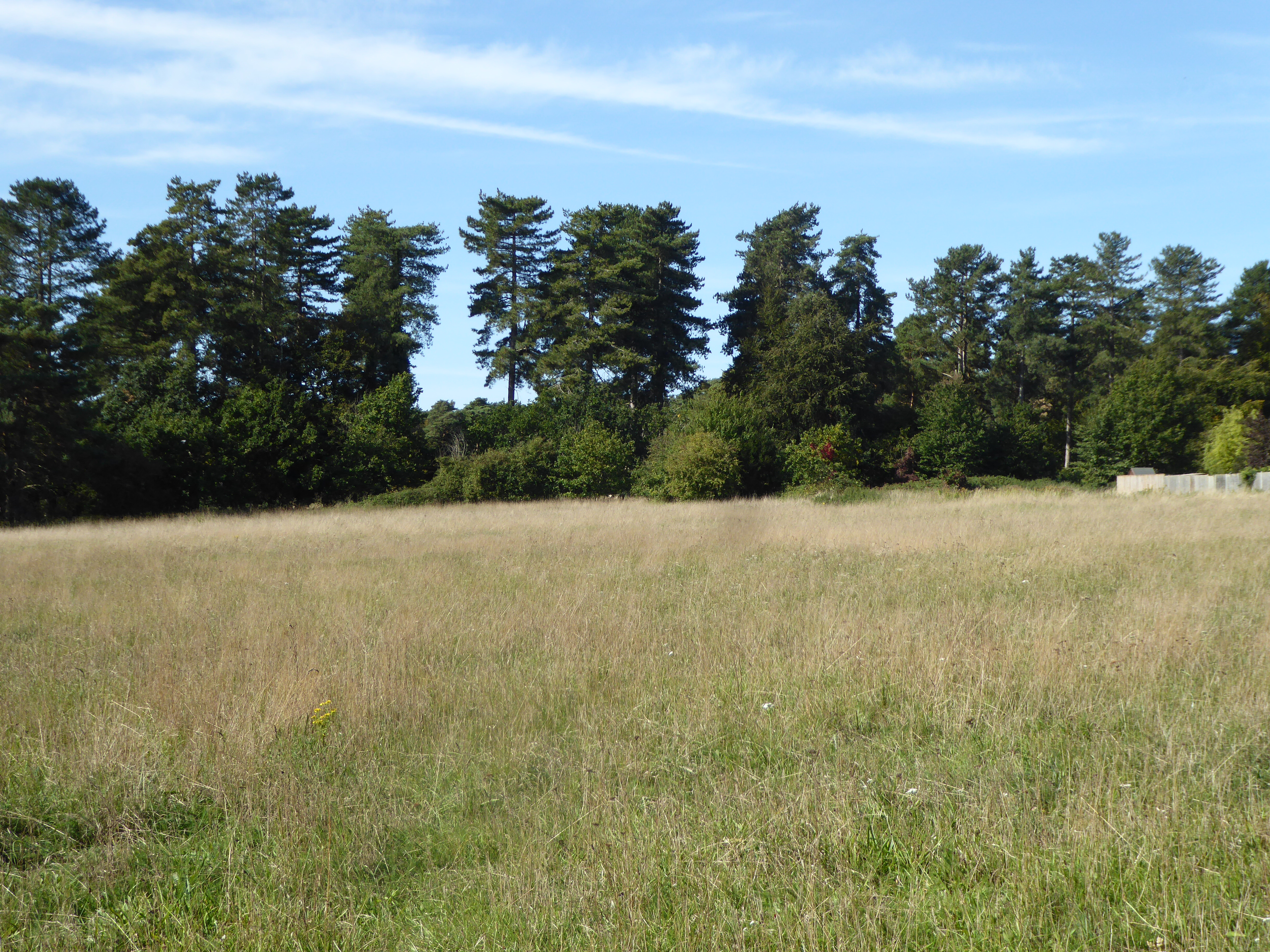
Cottage Belt is a picturesque woodland area located in Suffolk, England. Nestled amidst the lush countryside, this enchanting forest is a haven for nature enthusiasts and those seeking tranquility away from the hustle and bustle of urban life.

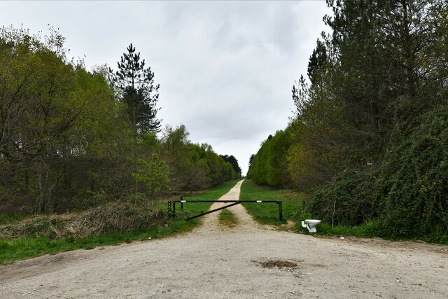
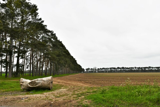
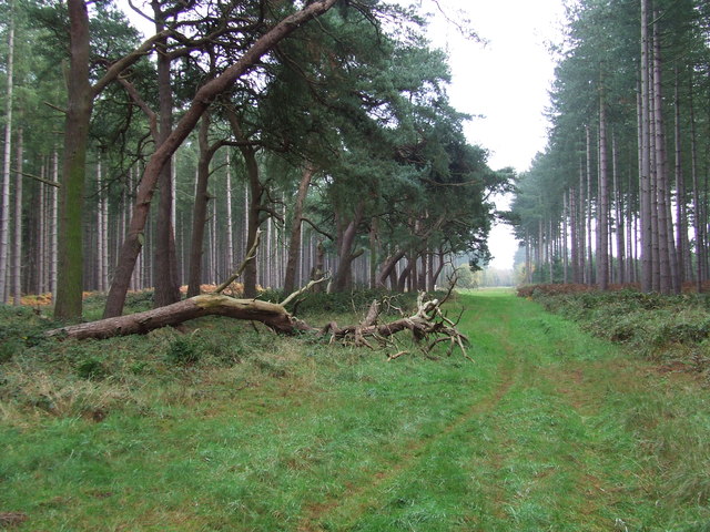
Stretching across several acres, Cottage Belt is known for its dense foliage, towering trees, and vibrant flora. The forest is home to a diverse range of plant species, including oak, beech, and ash trees, which provide a captivating canopy of greenery. As visitors wander through the woodland, they are greeted by a symphony of birdsong and the occasional rustle of wildlife, creating an immersive and immersive experience in nature.

The forest offers a network of well-maintained walking trails, which meander through the woods, providing opportunities for leisurely strolls and invigorating hikes. These trails wind their way past babbling brooks, charming cottages, and scenic viewpoints, offering visitors a chance to immerse themselves in the beauty of their surroundings.

Cottage Belt is not only a haven for nature lovers but also a sanctuary for wildlife. The forest is home to a variety of animals, including deer, foxes, and rabbits, which can often be spotted among the trees. Birdwatchers will find themselves captivated by the presence of owls, woodpeckers, and other feathered inhabitants.

The natural beauty of Cottage Belt is complemented by the presence of charming cottages dotted throughout the woodland. These quaint houses add to the idyllic atmosphere and offer visitors a glimpse into a simpler way of life.

Overall, Cottage Belt in Suffolk is a natural paradise, offering a serene escape into the heart of the countryside. Whether one chooses to explore the trails, observe wildlife, or simply unwind in the peaceful surroundings, Cottage Belt promises an unforgettable experience for all who venture into its embrace.

If you have any feedback on the listing, please let us know in the comments section below.
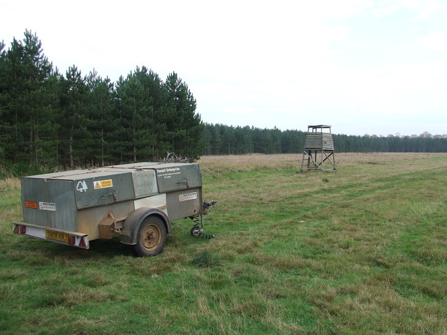
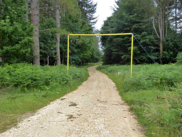
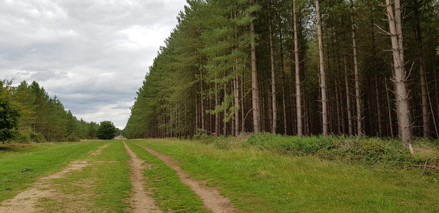
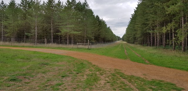
Cottage Belt Images

Images are sourced within 2km of 52.344184/0.6715186 or Grid Reference TL8275. Thanks to Geograph Open Source API. All images are credited.

Elveden: One of many entrances to the King's Forest
Elveden: One of many entrances to the King's Forest A discarded toilet.
Elveden: One of many entrances to the King's Forest
A discarded toilet.
Elveden: Shelterhouse Corner
Wordwell: The King's Forest
Forest Track Forest track near to Icklingham, Suffolk.
Forest Track
Forest track near to Icklingham, Suffolk.
Forest View Forest commission trailer and tower in the forest near to Icklingham, Suffolk.
Forest View
Forest commission trailer and tower in the forest near to Icklingham, Suffolk.
Weststow Road A public byway through King's Forest, long and straight.
Weststow Road
A public byway through King's Forest, long and straight.
Weststow Road A public byway through King's Forest, long and straight.
Weststow Road
A public byway through King's Forest, long and straight.
Open block, King's Forest Forestry Commission woodland.
Open block, King's Forest
Forestry Commission woodland.
Fire reservoir, King's Forest Looking like an extremely low profile shed.
Fire reservoir, King's Forest
Looking like an extremely low profile shed.
Open area, King's Forest This appears to have been open for some good time.
Open area, King's Forest
This appears to have been open for some good time.
Ride, King's Forest To the right is mapped as Brandon Plantation, which seems to have broad-leaved trees in an area largely of conifers.
Ride, King's Forest
To the right is mapped as Brandon Plantation, which seems to have broad-leaved trees in an area largely of conifers.
Loading gauge on forestry track This is because there is an overhead power line roughly above the camera position. There is another one on the other side of the power line.
Loading gauge on forestry track
This is because there is an overhead power line roughly above the camera position. There is another one on the other side of the power line.
Bladder Campion, Silene vulgaris In a grassy area of King's Forest.
Bladder Campion, Silene vulgaris
In a grassy area of King's Forest.
Webs on gorse I had a look at the easier bits to get at and could not see anything - I was expecting sawfly larvae (that look like caterpillars): some communal species protect the colony with such webbing. In looking things up later, I found this is the work of gorse spider mites. I had overlooked, and probably could not get close to, the orange bits at some of the vertices. These are doubtless huddles of the tiny mites, Tetranychus lintearius.
Webs on gorse
I had a look at the easier bits to get at and could not see anything - I was expecting sawfly larvae (that look like caterpillars): some communal species protect the colony with such webbing. In looking things up later, I found this is the work of gorse spider mites. I had overlooked, and probably could not get close to, the orange bits at some of the vertices. These are doubtless huddles of the tiny mites, Tetranychus lintearius.
Scots Pines in The King's Forest The trees in this belt seem older than those around about. It looks like the belt has been there for over 100 years (it is on the 1882 OS map) when either side was heathland.
Scots Pines in The King's Forest
The trees in this belt seem older than those around about. It looks like the belt has been there for over 100 years (it is on the 1882 OS map) when either side was heathland.
Plantations by Chalk Lane There is a tumulus among the trees on the right. I could not see or reach it though, due to the thick undergrowth.
Plantations by Chalk Lane
There is a tumulus among the trees on the right. I could not see or reach it though, due to the thick undergrowth.
Plantations by Chalk Lane Chalk Lane, seen running into the distance, is a road (closed to the public) that predates most of the forest, being shown on the 1882 OS map when most of this land was heath.
Plantations by Chalk Lane
Chalk Lane, seen running into the distance, is a road (closed to the public) that predates most of the forest, being shown on the 1882 OS map when most of this land was heath.
Show me another place!

Cottage Belt is located at Grid Ref: TL8275 (Lat: 52.344184, Lng: 0.6715186)

Administrative County: Suffolk

District: West Suffolk

Police Authority: Suffolk

What 3 Words

///verb.undulation.prelude. Near Thetford, Norfolk

Related Wikis

Berner's Heath

Berner's Heath is a 236.9-hectare (585-acre) biological Site of Special Scientific Interest north-east of Icklingham in Suffolk. It is a Nature Conservation...

Wordwell

Wordwell is a small village and civil parish in Suffolk, England, about five miles North of Bury St Edmunds. The village was hit by the Black Death in...

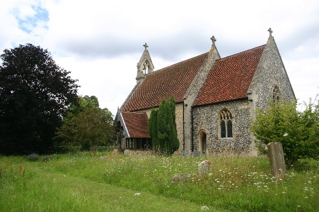
All Saints Church, Wordwell

All Saints Church is a redundant Anglican church in the village of Wordwell, Suffolk, England. It is recorded in the National Heritage List for England...

Seven Hills Halt railway station

Seven Hills Halt railway station was a railway station in Suffolk, England on the branch line between Thetford and Bury St Edmunds. It was closed in 1953...

Elm Road Field, Thetford

Elm Road Field, Thetford is a 5-hectare (12-acre) biological Site of Special Scientific Interest on the southern outskirts of Thetford in Norfolk.This...

Deadman's Grave, Icklingham

Deadman's Grave, Icklingham is a 127.3-hectare (315-acre) biological Site of Special Scientific Interest north-east of Icklingham in Suffolk. It is a Nature...

West Stow Hall

West Stow Hall is a Tudor manor house in West Stow, Suffolk, England, near Bury St Edmunds. It was begun in around 1520 for Sir John Croftes, Master of...

Little Heath, Barnham

Little Heath, Barnham lies south-west of Barnham, Suffolk. Much of the area is now a Site of Special Scientific Interest, which almost surrounds the former...

Nearby Amenities

Located within 500m of 52.344184,0.6715186
North Stow Hall
Naptan AtcoCode: 390050601
Naptan Bearing: N
Naptan BusStopType: CUS
Naptan CommonName: North Stow Hall
Naptan Indicator: adj
Naptan Landmark: North Stow Hall
Naptan NaptanCode: sufgjdjt
Naptan Street: B1106
Naptan Verified: no
Source: naptan_import
Lat/Long: 52.3458589/0.6754392
North Stow Hall
Naptan AtcoCode: 390050602
Naptan Bearing: S
Naptan BusStopType: CUS
Naptan CommonName: North Stow Hall
Naptan Indicator: opp
Naptan Landmark: North Stow Hall
Naptan NaptanCode: sufgjdjw
Naptan Street: B1106
Naptan Verified: no
Source: naptan_import
Lat/Long: 52.3458286/0.6755842
The data included in this document is from www.openstreetmap.org. The data is made available under ODbL.

Have you been to Cottage Belt?

Leave your review of Cottage Belt below (or comments, questions and feedback).