Bath House Covert
Wood, Forest in Suffolk West Suffolk
England
Bath House Covert
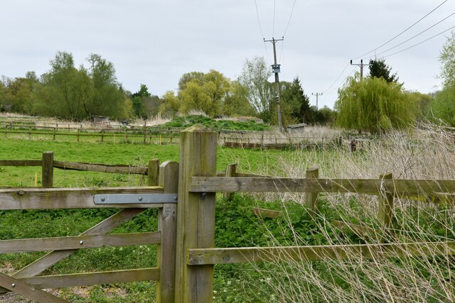
Bath House Covert is a picturesque woodland area located in Suffolk, England. Situated within the larger Thetford Forest Park, it covers an area of approximately 5 square kilometers. The woodland is characterized by its dense canopy of deciduous and coniferous trees, creating a serene and tranquil environment for visitors.
The name "Bath House Covert" originates from the historical presence of a Roman bathhouse that once stood in the area. Although the bathhouse is no longer visible, its remnants can still be found in the form of ancient brickwork and foundations.
The woodland is home to a diverse range of flora and fauna, providing a habitat for various species of birds, mammals, and insects. Visitors to Bath House Covert may have the opportunity to spot creatures such as deer, foxes, owls, and woodpeckers.
A network of well-maintained paths and trails wind through the woodland, offering visitors the chance to explore and enjoy the natural beauty of the area. These paths cater to different levels of difficulty, making the woodland accessible to both casual walkers and more experienced hikers.
Bath House Covert is a popular destination for nature enthusiasts, photographers, and families seeking outdoor activities. The woodland provides ample opportunities for picnicking, wildlife observation, and nature photography. It also serves as an excellent location for educational trips and school outings, allowing students to learn about the local ecosystem and the importance of conservation.
Overall, Bath House Covert in Suffolk is a captivating woodland area that offers visitors a chance to immerse themselves in nature and appreciate the tranquility of the forest.
If you have any feedback on the listing, please let us know in the comments section below.
Bath House Covert Images
Images are sourced within 2km of 52.286333/0.66598262 or Grid Reference TL8168. Thanks to Geograph Open Source API. All images are credited.


Bath House Covert is located at Grid Ref: TL8168 (Lat: 52.286333, Lng: 0.66598262)
Administrative County: Suffolk
District: West Suffolk
Police Authority: Suffolk
What 3 Words
///thickened.wired.liner. Near Bury St Edmunds, Suffolk
Nearby Locations
Related Wikis
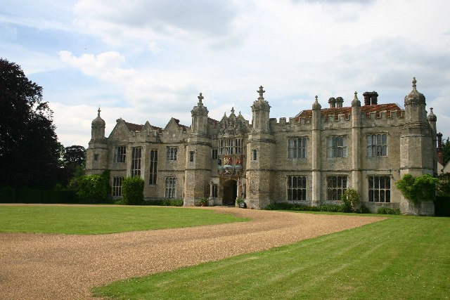
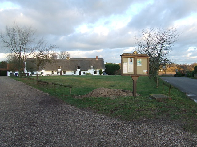
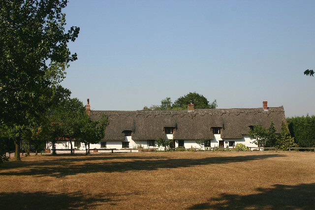
Hengrave Hall
Hengrave Hall is a Grade I listed Tudor manor house in Hengrave near Bury St. Edmunds in Suffolk, England and was the seat of the Kitson and Gage families...

Church of St John Lateran, Hengrave
The Church of St John Lateran, Hengrave is the former parish church of Hengrave, Suffolk. In 1589 this parish was consolidated with that of adjacent Flempton...
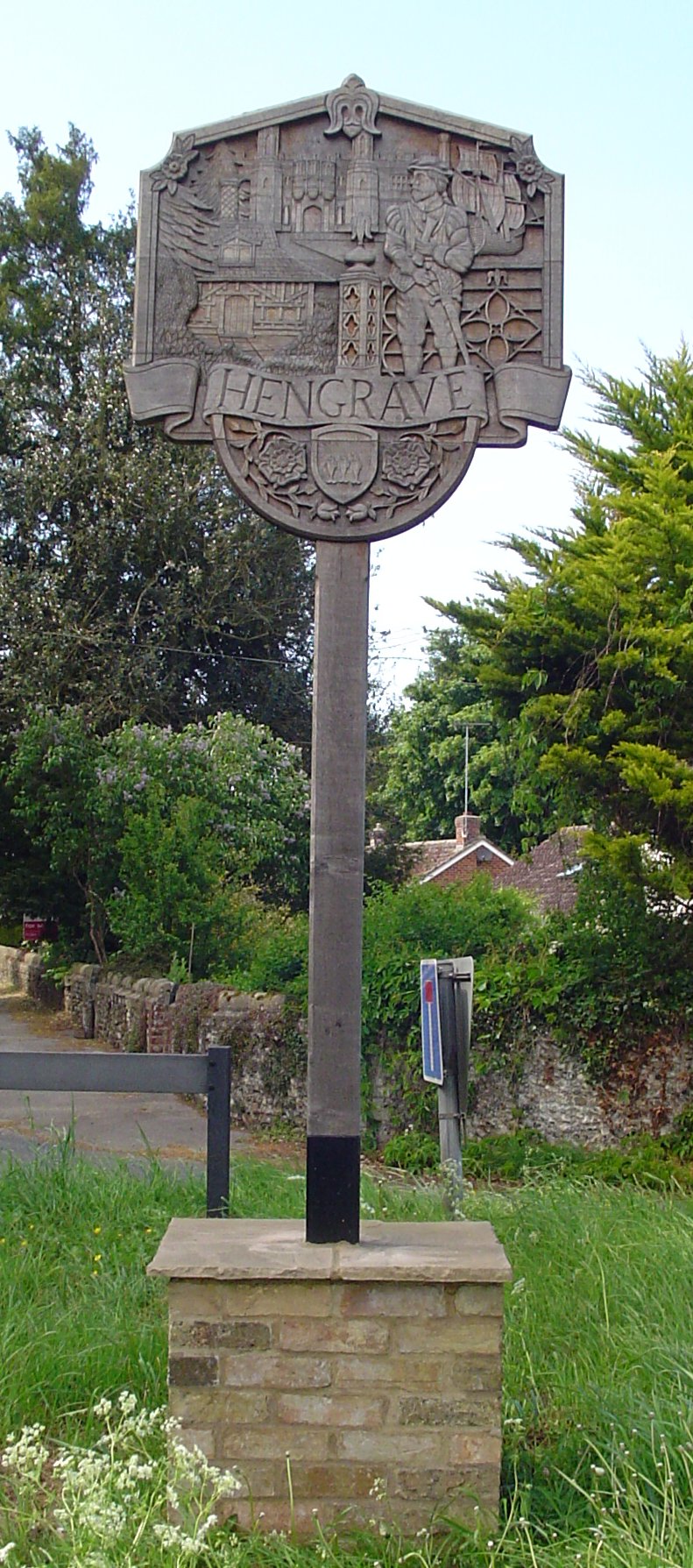
Hengrave
Hengrave is a small village and civil parish in the West Suffolk district, in the county of Suffolk, England. It is to the North the town of Bury St Edmunds...

West Stow
West Stow is a small village and civil parish in West Suffolk, England. The village lies north of Bury St. Edmunds, south of Mildenhall and Thetford and...

Flempton
Flempton is a village and civil parish in the West Suffolk district of Suffolk, England. It is on the A1101 road 5 miles NW from Bury St Edmunds. Flempton...
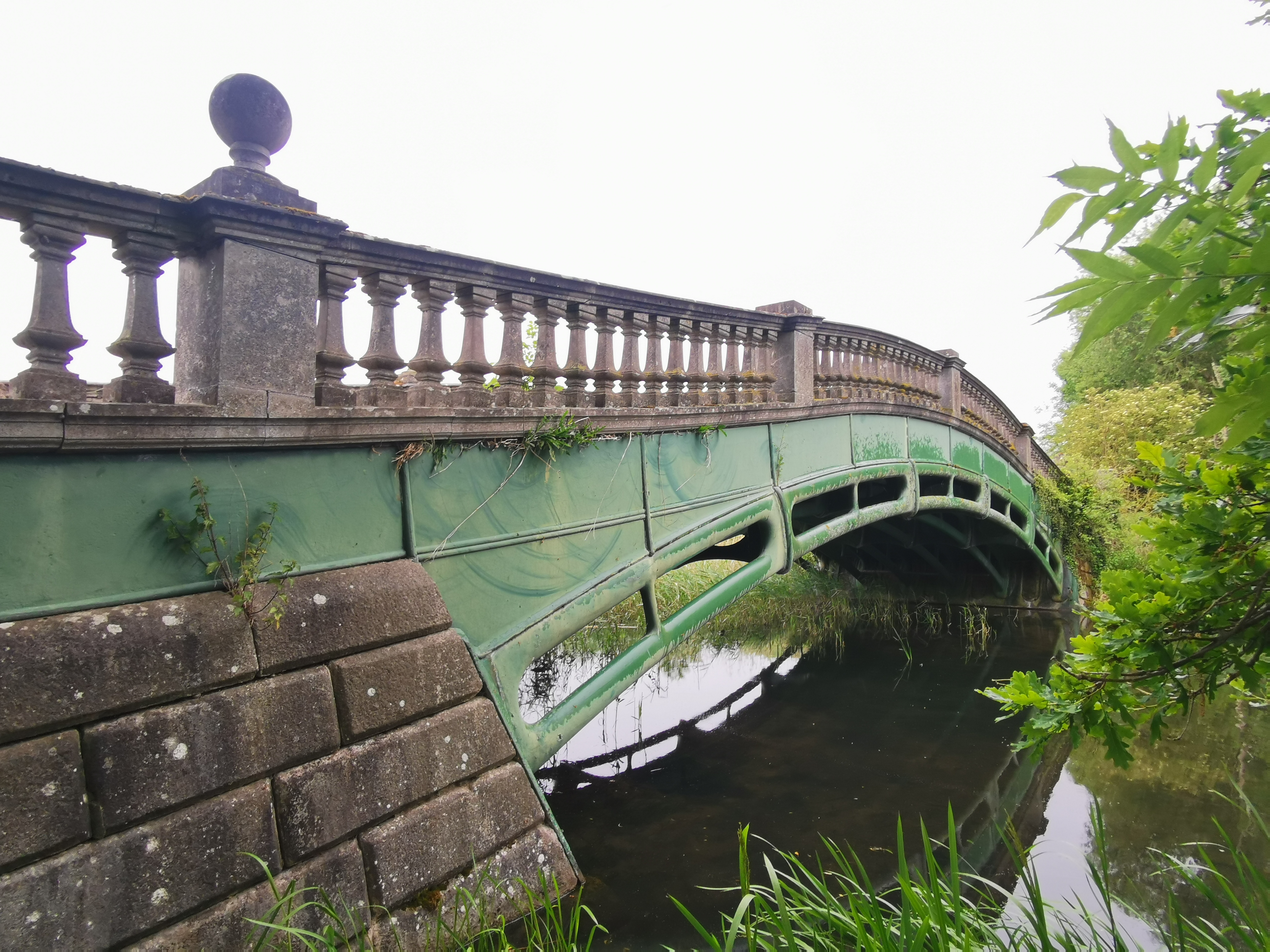
The Iron Bridge, Culford Park
The Iron Bridge is a grade I listed early cast iron bridge crossing a tributary of the River Lark in grounds of Culford Park in the village of Culford...

Fornham All Saints
Fornham All Saints is a village and civil parish in Suffolk, England in the West Suffolk district. It is north-northwest of the town of Bury St Edmunds...

Culford School
Culford School is a co-educational private boarding and day school for pupils age 1-18 in the village of Culford, 4 miles (6.4 km) miles north of Bury...
Nearby Amenities
Located within 500m of 52.286333,0.66598262Have you been to Bath House Covert?
Leave your review of Bath House Covert below (or comments, questions and feedback).