Broom Hill Shaw

Wood, Forest in Kent Tunbridge Wells

England

Broom Hill Shaw

Old Water Pump In Iden Green village
Old Water Pump Credit: John Brown

Broom Hill Shaw is a woodland area located in Kent, England. Situated near the town of Wood and within close proximity to the Forest, this natural reserve spans over a vast expanse of approximately 200 acres. The Shaw is characterized by its dense collection of trees, predominantly consisting of oak, beech, and maple varieties.

The woodland is known for its rich biodiversity, providing a habitat for numerous species of flora and fauna. The forest floor is adorned with an array of wildflowers, including bluebells and primroses, which bloom in abundance during the spring season. Additionally, the Shaw is home to various ferns, mosses, and lichens, contributing to its vibrant and diverse ecosystem.

Broom Hill Shaw offers a tranquil and picturesque setting for nature enthusiasts and hikers alike. The well-maintained footpaths and trails meander through the woodland, allowing visitors to explore its natural beauty at their own pace. The forest also provides a habitat for a diverse range of wildlife, including deer, squirrels, and various bird species, making it a popular spot for birdwatching and wildlife photography.

Visitors to Broom Hill Shaw can take advantage of the picnic areas and benches scattered throughout the woodland, providing a picturesque setting for outdoor meals and relaxation. The Shaw is easily accessible, with ample parking facilities available nearby, making it an ideal destination for day trips and family outings.

Overall, Broom Hill Shaw in Kent is a thriving woodland area, offering visitors a chance to immerse themselves in nature and experience the tranquility and beauty of a well-preserved natural habitat.

If you have any feedback on the listing, please let us know in the comments section below.

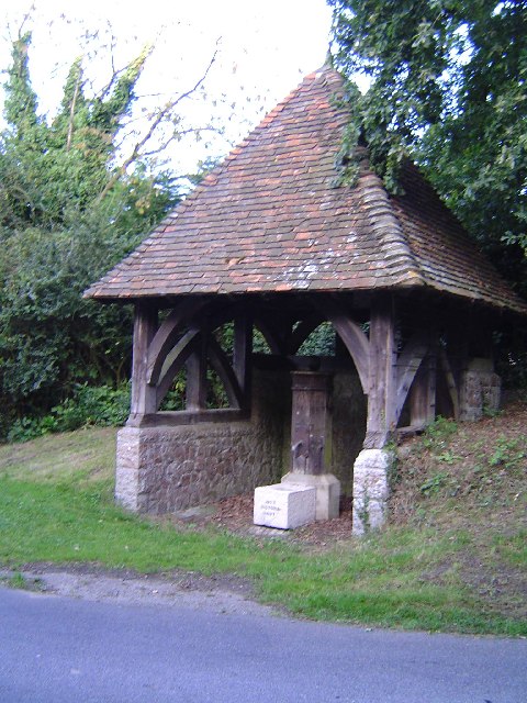
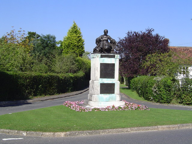
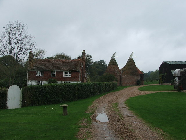
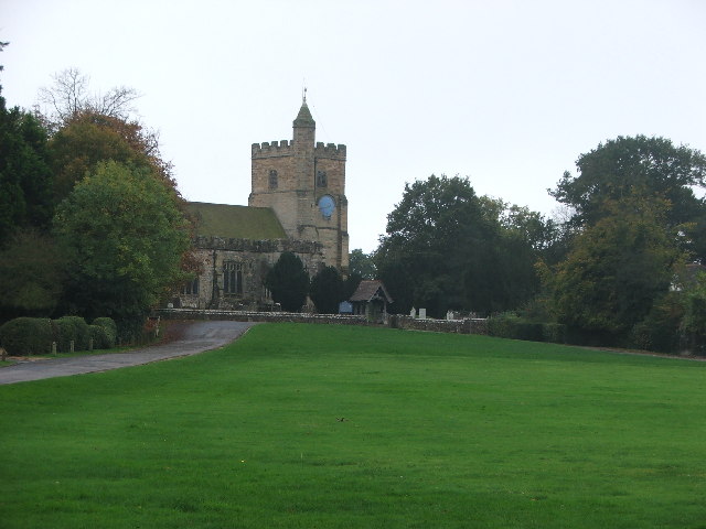
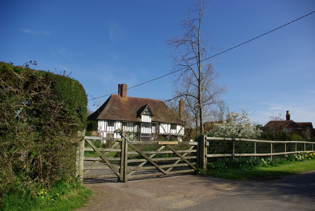
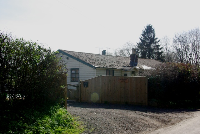
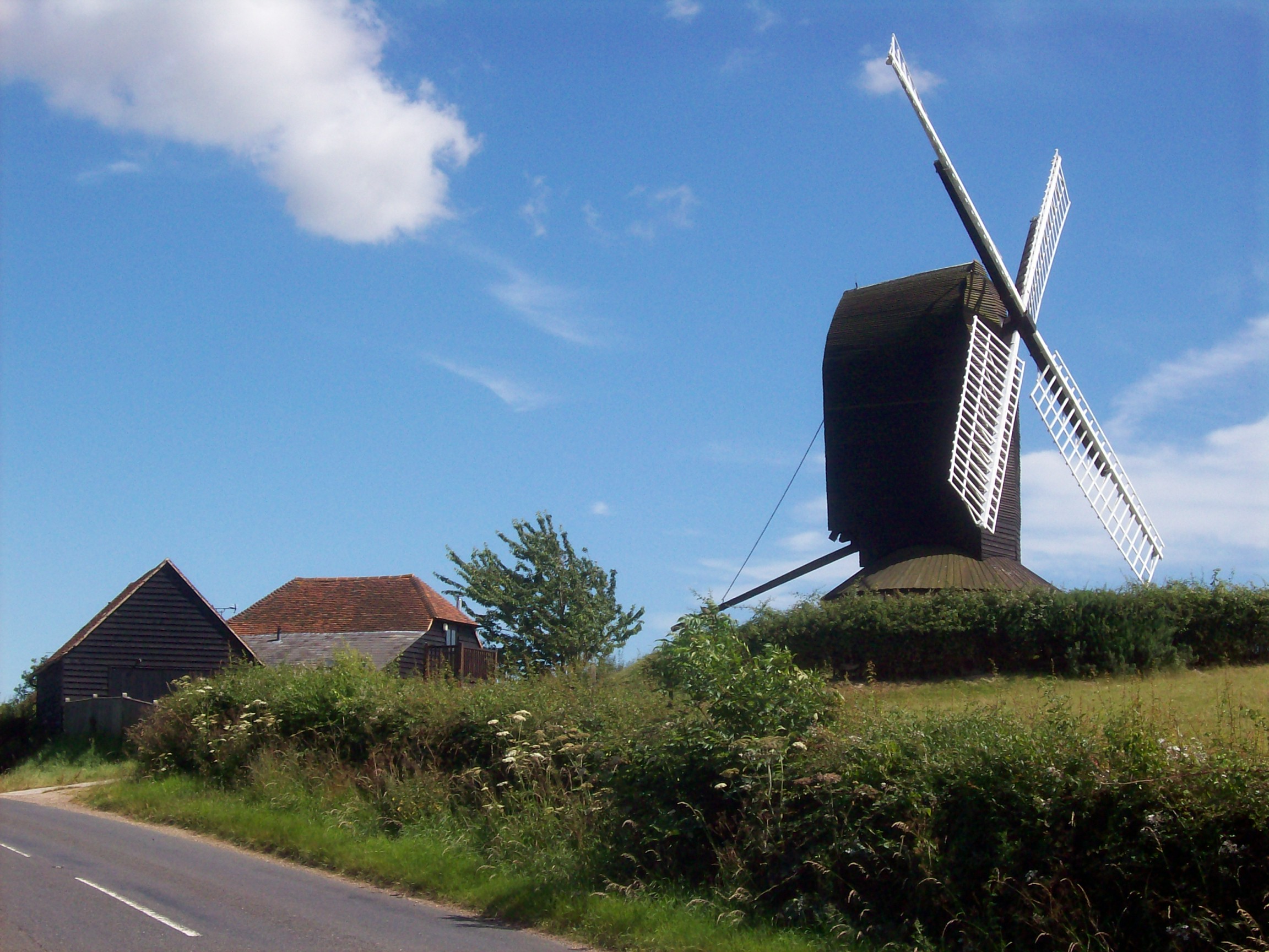
Broom Hill Shaw Images

Images are sourced within 2km of 51.05393/0.59183593 or Grid Reference TQ8131. Thanks to Geograph Open Source API. All images are credited.

Old Water Pump In Iden Green village
Old Water Pump
In Iden Green village
Benenden Monument Commemorative statue opposite "The Bull".
Benenden Monument
Commemorative statue opposite "The Bull".
Stream Farm and Oast House Taken from the site of ford used in Roman times.
Stream Farm and Oast House
Taken from the site of ford used in Roman times.
Benenden Village, church and cricket field Just had a nice pint in the village pub during our stroll along High Weald Landscape Trail
Benenden Village, church and cricket field
Just had a nice pint in the village pub during our stroll along High Weald Landscape Trail
Rolvenden Mill A grey May day!
Rolvenden Mill
A grey May day!
Oast House An Oast House is a building used to dry fresh hops before they are sent to the brewers, to be used for flavouring beer. A traditional Oast House consists of the 'oast' and the 'stowage'. The oast was a kiln, with a plenum chamber fired by charcoal at ground floor and the drying floor directly above. The steep pitched roof channelled the hot air through the hops to the top. The stowage, was the barn section, it had a cooling floor and press at first floor and storage area at ground floor. Read more <a title="https://www.geograph.org.uk/article/Oast-Houses" href="https://www.geograph.org.uk/article/Oast-Houses">Link</a>
Oast House
An Oast House is a building used to dry fresh hops before they are sent to the brewers, to be used for flavouring beer. A traditional Oast House consists of the 'oast' and the 'stowage'. The oast was a kiln, with a plenum chamber fired by charcoal at ground floor and the drying floor directly above. The steep pitched roof channelled the hot air through the hops to the top. The stowage, was the barn section, it had a cooling floor and press at first floor and storage area at ground floor. Read more Link
Derelict Barn, Dingleden Lane
Oast House at Dingleden Farm, Dingleden Lane, Benenden, Kent Twin round kiln oast house. Slate tiled roofs.
Oast House at Dingleden Farm, Dingleden Lane, Benenden, Kent
Twin round kiln oast house. Slate tiled roofs.
Oast House Twin round kilned oast house.
Oast House
Twin round kilned oast house.
Beacon Mill There are three main types of windmill in Great Britain: post mills, smock mills and tower mills.

The smock mill is of a timber-framed construction with weatherboarded, steeply sloping external walls.  It was built on a brick base.  A pivoting wooden top with sails moved independently of the main structure so that the sails could be positioned towards the wind.  This was controlled by a tail fan.

Windmill article <a title="https://www.geograph.org.uk/article/Windmills" href="https://www.geograph.org.uk/article/Windmills">Link</a>
Beacon Mill
There are three main types of windmill in Great Britain: post mills, smock mills and tower mills. The smock mill is of a timber-framed construction with weatherboarded, steeply sloping external walls. It was built on a brick base. A pivoting wooden top with sails moved independently of the main structure so that the sails could be positioned towards the wind. This was controlled by a tail fan. Windmill article Link
Benenden Primary School, The Green, Benenden, Kent Currently the village primary school, though a new one is planned near to the village hall.

In 2009 the school celebrated its 400th year.

Grade II listed.
Benenden Primary School, The Green, Benenden, Kent
Currently the village primary school, though a new one is planned near to the village hall. In 2009 the school celebrated its 400th year. Grade II listed.
Benenden village sign The sign was replaced with a new image in 2009. See <a href="https://www.geograph.org.uk/photo/1455832">TQ8032 : Benenden Village Sign</a>
Benenden village sign
The sign was replaced with a new image in 2009. See TQ8032 : Benenden Village Sign
Ranters Oast, Benenden Road, Rolvenden, Kent Twin round kiln oast house, missing cowls.
Ranters Oast, Benenden Road, Rolvenden, Kent
Twin round kiln oast house, missing cowls.
Orchard near Greenlane Farm The high bank of Stepneyford Lane must be scaled for this view.
Orchard near Greenlane Farm
The high bank of Stepneyford Lane must be scaled for this view.
Dingleden House A very impressive 15th century building.
Dingleden House
A very impressive 15th century building.
"Border View" The border that is viewed is a puzzle. The parish boundary runs down the lane in the foreground, the local authority boundary runs a few metres away to the left. The county boundary would be very long view and unlikely to be visible from such a low bungalow.
"Border View"
The border that is viewed is a puzzle. The parish boundary runs down the lane in the foreground, the local authority boundary runs a few metres away to the left. The county boundary would be very long view and unlikely to be visible from such a low bungalow.
Show me another place!

Broom Hill Shaw is located at Grid Ref: TQ8131 (Lat: 51.05393, Lng: 0.59183593)

Administrative County: Kent

District: Tunbridge Wells

Police Authority: Kent

What 3 Words

///margin.masks.smirking. Near Hawkhurst, Kent

Related Wikis

Beacon Mill, Benenden

Beacon Mill is a Grade II listed smock mill in Benenden, Kent, England which is in need of restoration. The mill has been out of use since 1923 and is...

St George, Benenden

St George's Church, Benenden is a Church of England church in Benenden, Kent. The building is Grade II* listed with Historic England. == References... ==

Hole Park

Hole Park is a privately owned country house near the village of Rolvenden, in Kent, England. It is a Grade II listed building. The gardens, first opened...
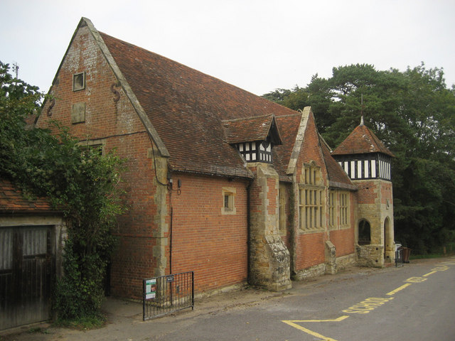
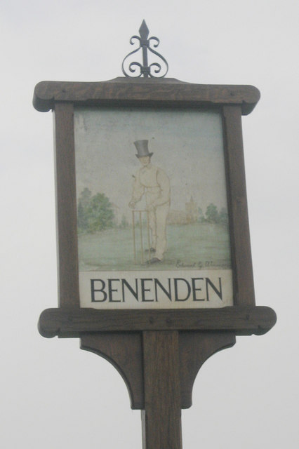
Benenden

Benenden is a village and civil parish in the borough of Tunbridge Wells in Kent, England. The parish is located on the Weald, 6 miles (10 km) to the...
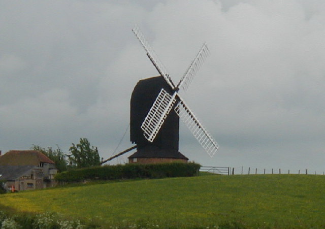
Rolvenden Windmill

Rolvenden Windmill is a grade II* listed Post mill on the B2086 road west of Rolvenden in southeast England. It is maintained as a memorial to a local...

Kensham

Kensham is a hamlet in Kent, between Rolvenden and Sandhurst. In the medieval era it was called Cassingham.

Parsonage Wood

Parsonage Wood is a 9.7-hectare (24-acre) biological Site of Special Scientific Interest south-east of Cranbrook in Kent. It is owned and managed by the...

Hemsted Park

Hemsted Park, historically sometimes known as Hempsted Park, is a 100 hectares (250 acres) former country estate and manor house north-west of the village...

Nearby Amenities

Located within 500m of 51.05393,0.59183593
IDENGREEN
Disused: yes
Fixme: This is a stub. The footpath carries on...
Man Made: petroleum_well
Ref GB Decc: LS/28-2
Source: DECC
Lat/Long: 51.0543699/0.5871961
Barrier: kissing_gate
Lat/Long: 51.054298/0.5880441
Telephone
Booth: K6
Covered: booth
Lat/Long: 51.0512632/0.5897965
The data included in this document is from www.openstreetmap.org. The data is made available under ODbL.

Have you been to Broom Hill Shaw?

Leave your review of Broom Hill Shaw below (or comments, questions and feedback).