Elgar's Wood

Wood, Forest in Norfolk King's Lynn and West Norfolk

England

Elgar's Wood

Remote undulating lane in the middle of nowhere Heading towards North Pole Farm in Norfolk
Remote undulating lane in the middle of nowhere Credit: Richard Humphrey

Elgar's Wood is a charming forest located in Norfolk, England. Spread across a vast expanse of land, this woodland area is known for its natural beauty and tranquil atmosphere. The forest is named after the renowned English composer, Sir Edward Elgar, who spent much of his time here seeking inspiration for his musical compositions.

Elgar's Wood is characterized by its diverse range of tree species, including oak, beech, and birch. The forest floor is carpeted with lush ferns and wildflowers, creating a picturesque scene that attracts nature enthusiasts and hikers alike. The woodland is home to a plethora of wildlife, including deer, foxes, and various bird species, making it a popular spot for wildlife observation and photography.

Numerous walking trails and footpaths wind through Elgar's Wood, providing visitors with the opportunity to explore the forest at their own pace. These paths are well-maintained and offer stunning views of the surrounding countryside. Many visitors also enjoy picnicking in designated areas or finding a peaceful spot to meditate and unwind.

Elgar's Wood is an important natural habitat, and efforts have been made to preserve its ecological integrity. Conservation efforts have been implemented to protect the forest's biodiversity and prevent any degradation of the environment. The forest is managed by local authorities and volunteers who work tirelessly to maintain its natural balance.

Overall, Elgar's Wood is a captivating destination that offers a serene retreat from the hustle and bustle of everyday life. Whether one seeks solitude, adventure, or a closer connection with nature, this woodland paradise provides an ideal setting for all.

If you have any feedback on the listing, please let us know in the comments section below.
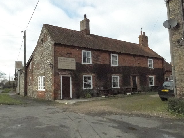
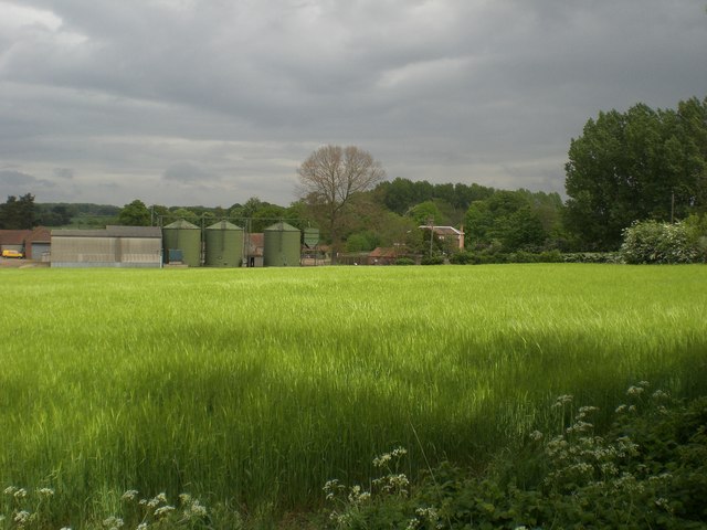
Elgar's Wood Images

Images are sourced within 2km of 52.824562/0.69504112 or Grid Reference TF8128. Thanks to Geograph Open Source API. All images are credited.

Remote undulating lane in the middle of nowhere Heading towards North Pole Farm in Norfolk
Remote undulating lane in the middle of nowhere
Heading towards North Pole Farm in Norfolk
East and West Rudham: aerial 2015
East and West Rudham War Memorial The brass memorial hangs in East Rudham church but has the names of 29 men who were lost from both villages in WW1. 
A further ten names relate to WW2 encompassing both parishes.
East and West Rudham War Memorial
The brass memorial hangs in East Rudham church but has the names of 29 men who were lost from both villages in WW1. A further ten names relate to WW2 encompassing both parishes.
Back Lane, West Rudham An old part of the village, the road is still little more than a rough track.
Back Lane, West Rudham
An old part of the village, the road is still little more than a rough track.
West Rudham: aerial 2017 View to Houghton Park and the Wash.
West Rudham: aerial 2017
View to Houghton Park and the Wash.
East Rudham Village Sign East Rudham is a village on the A148, King's Lynn to Cromer road, about 6 miles west of Fakenham.
The village sign is located at the western end of the village green.
East Rudham Village Sign
East Rudham is a village on the A148, King's Lynn to Cromer road, about 6 miles west of Fakenham. The village sign is located at the western end of the village green.
East Rudham Village Green Looking east along the village green with the A148, King's Lynn to Cromer road, to the left of the village green.
East Rudham Village Green
Looking east along the village green with the A148, King's Lynn to Cromer road, to the left of the village green.
West Rudham Village Sign and Village Green Looking east along the village green with the A148, King's Lynn to Cromer road, to the left of the green.
West Rudham Village Sign and Village Green
Looking east along the village green with the A148, King's Lynn to Cromer road, to the left of the green.
The Duke's Head West Rudham Built in 1663 and still serving pints.
<a title="https://www.geograph.org.uk/photo/5616155" href="https://www.geograph.org.uk/photo/5616155">Link</a>
The Duke's Head West Rudham
Built in 1663 and still serving pints. Link
Hanging sign for 'The Duke's Head' West Rudham <a title="https://www.geograph.org.uk/photo/5616152" href="https://www.geograph.org.uk/photo/5616152">Link</a>
Hanging sign for 'The Duke's Head' West Rudham
Lynn Road, West Rudham
Hall Farm Barn on School Road, West Rudham
East Rudham cemetery On the outskirts of the village.
East Rudham cemetery
On the outskirts of the village.
Old Milestone by the A148, East Rudham Carved stone post by the A148, in parish of EAST RUDHAM (KINGS LYNN AND WEST NORFOLK District), 80yds East of junction with Eye Lane, at rear of wide verge, on South side of road. Wells stone, erected by the Wells to Fakenham turnpike trust in the 20th century. 

Inscription reads:-
: TO / LYNN / 15 : : E. RUDHAM : : TO / FAKENHAM / 6 :

Norfolk HER listed.  
NHER Number: 56750 <span class="nowrap"><a title="https://www.heritagegateway.org.uk/Gateway/Results_Single.aspx?uid=MNF63161&resourceID=1002" rel="nofollow ugc noopener" href="https://www.heritagegateway.org.uk/Gateway/Results_Single.aspx?uid=MNF63161&resourceID=1002">Link</a><img style="margin-left:2px;" alt="External link" title="External link - shift click to open in new window" src="https://s1.geograph.org.uk/img/external.png" width="10" height="10"/></span>

Milestone Society National ID: NO_FKL06.
Old Milestone by the A148, East Rudham
Carved stone post by the A148, in parish of EAST RUDHAM (KINGS LYNN AND WEST NORFOLK District), 80yds East of junction with Eye Lane, at rear of wide verge, on South side of road. Wells stone, erected by the Wells to Fakenham turnpike trust in the 20th century. Inscription reads:- : TO / LYNN / 15 : : E. RUDHAM : : TO / FAKENHAM / 6 : Norfolk HER listed. NHER Number: 56750 LinkExternal link Milestone Society National ID: NO_FKL06.
Old Milestone by the A148, West Rudham Carved stone post by the A148, in parish of West Rudham (Kings Lynn and West Norfolk District), opposite drive between "Rosedean" and "Albion House", at edge of village green about 1ft from edge of road, on South side of road. Wells stone, erected by the Wells to Fakenham turnpike trust in the 20th century. 

Inscription reads:-
: TO / LYNN / 14 : : W RUDHAM : : TO / FAKENHAM / 7 :

Norfolk HER.
NHER Number: 56751 <span class="nowrap"><a title="https://www.heritagegateway.org.uk/Gateway/Results_Single.aspx?uid=MNF63162&resourceID=1002" rel="nofollow ugc noopener" href="https://www.heritagegateway.org.uk/Gateway/Results_Single.aspx?uid=MNF63162&resourceID=1002">Link</a><img style="margin-left:2px;" alt="External link" title="External link - shift click to open in new window" src="https://s1.geograph.org.uk/img/external.png" width="10" height="10"/></span>  

Milestone Society National ID: NO_FKL07
Old Milestone by the A148, West Rudham
Carved stone post by the A148, in parish of West Rudham (Kings Lynn and West Norfolk District), opposite drive between "Rosedean" and "Albion House", at edge of village green about 1ft from edge of road, on South side of road. Wells stone, erected by the Wells to Fakenham turnpike trust in the 20th century. Inscription reads:- : TO / LYNN / 14 : : W RUDHAM : : TO / FAKENHAM / 7 : Norfolk HER. NHER Number: 56751 LinkExternal link Milestone Society National ID: NO_FKL07
Old Milestone by the A148, West Rudham parish Carved stone post by the A148, in parish of West Rudham (Kings Lynn and West Norfolk District), 300yds West of crosstracks, on the verge, backed by field, on South side of road. Wells stone, erected by the Wells to Fakenham turnpike trust in the 20th century. 

Inscription reads:-
: TO / LYNN / 13 : : (W) RUDHAM : : TO / FAKENHAM / 8 :
Carved benchmark on top.

Norfolk HER.
NHER Number: 56752 <span class="nowrap"><a title="https://www.heritagegateway.org.uk/Gateway/Results_Single.aspx?uid=MNF63163&resourceID=1002" rel="nofollow ugc noopener" href="https://www.heritagegateway.org.uk/Gateway/Results_Single.aspx?uid=MNF63163&resourceID=1002">Link</a><img style="margin-left:2px;" alt="External link" title="External link - shift click to open in new window" src="https://s1.geograph.org.uk/img/external.png" width="10" height="10"/></span>

Milestone Society National ID: NO_FKL08
Old Milestone by the A148, West Rudham parish
Carved stone post by the A148, in parish of West Rudham (Kings Lynn and West Norfolk District), 300yds West of crosstracks, on the verge, backed by field, on South side of road. Wells stone, erected by the Wells to Fakenham turnpike trust in the 20th century. Inscription reads:- : TO / LYNN / 13 : : (W) RUDHAM : : TO / FAKENHAM / 8 : Carved benchmark on top. Norfolk HER. NHER Number: 56752 LinkExternal link Milestone Society National ID: NO_FKL08
Approaching  East  Rudham  on  the  A148 Westbound toward Kings Lynn
Approaching East Rudham on the A148
Westbound toward Kings Lynn
Entering  East  Rudham  on  the  A148 Toward Kings Lynn
Entering East Rudham on the A148
Toward Kings Lynn
Show me another place!

Elgar's Wood is located at Grid Ref: TF8128 (Lat: 52.824562, Lng: 0.69504112)

Administrative County: Norfolk

District: King's Lynn and West Norfolk

Police Authority: Norfolk

What 3 Words

///added.rattler.befitting. Near Fakenham, Norfolk

Nearby Locations

Elgar's Wood

Related Wikis

West Rudham

West Rudham is a civil parish in the English county of Norfolk. The village straddles the A148 King's Lynn to Cromer road. It covers an area of 11.81 km2...

Coxford, Norfolk

Coxford is a village in the English county of Norfolk. The village is on the south side of the A 148 King's Lynn to Cromer road. The River Tat, which...
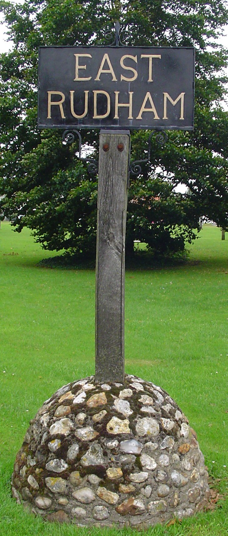
East Rudham

East Rudham is a village and civil parish in the English county of Norfolk. The village is located 14 miles (23 km) north-east of King's Lynn and 28 miles...

St Martin at Tours' Church, Houghton

St Martin at Tours' Church is an active Church of England parish church in the village of Houghton, Norfolk, England. It is a Grade I listed building...

Broomsthorpe

Broomsthorpe is a place and former civil parish, now in the parish of East Rudham, in the King's Lynn and West Norfolk district, in the English county...

Houghton Hall

Houghton Hall ( HOW-tən) is a country house in the parish of Houghton in Norfolk, England. It is the residence of David Cholmondeley, 7th Marquess of Cholmondeley...

Houghton, Norfolk

Houghton is a small village and a civil parish in the English county of Norfolk. It covers an area of 7.64 km2 (2.95 sq mi) and had a population of 69...

Tattersett

Tattersett is a village and civil parish in the English county of Norfolk. It covers an area of 11.38 square kilometres (4.39 square miles), and had a...

Have you been to Elgar's Wood?

Leave your review of Elgar's Wood below (or comments, questions and feedback).