The Belt

Wood, Forest in Norfolk King's Lynn and West Norfolk

England

The Belt

Footpath from the church at Barmer
Footpath from the church at Barmer Credit: Jonathan Thacker

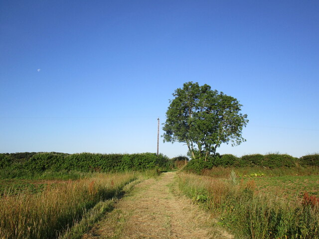
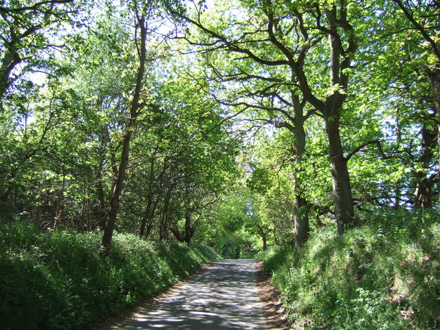
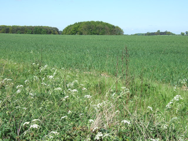
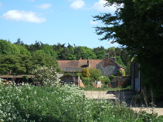
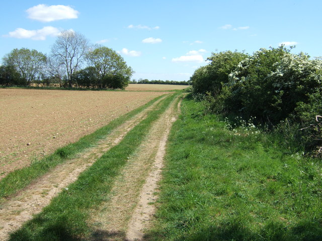
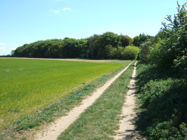
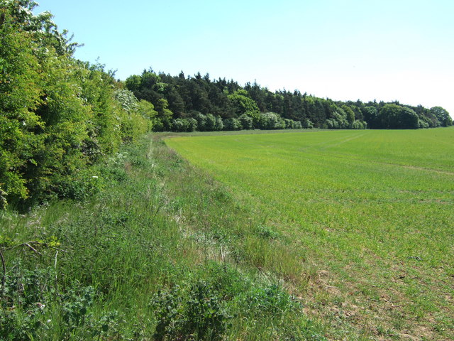
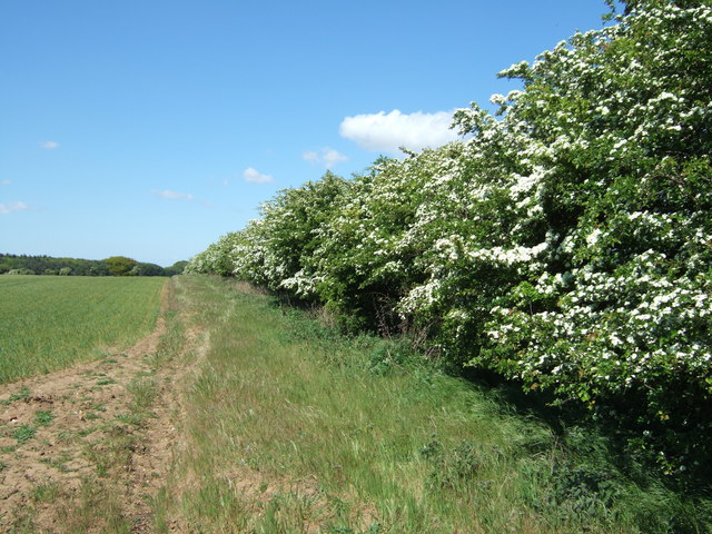
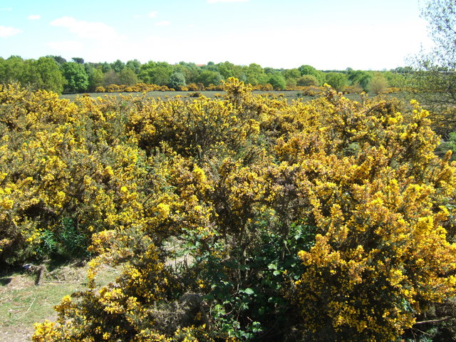
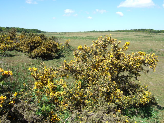
The Belt, Norfolk, also known as Wood or Forest, is a sprawling area located in the eastern region of England. With an approximate area of 1,334 square kilometers, it is one of the largest woodlands in the country. The Belt is a diverse mix of both coniferous and deciduous trees, providing a rich and varied ecosystem.

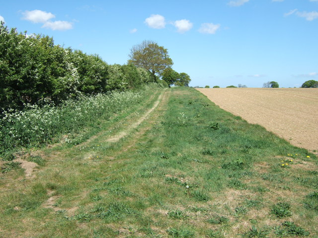
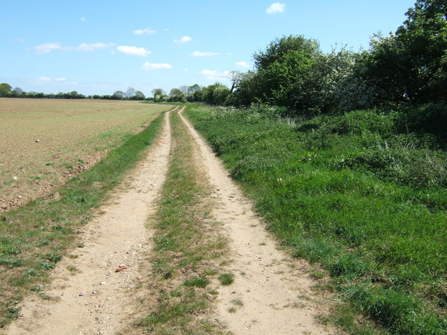
The woodland is home to a wide array of flora and fauna, including various species of birds, mammals, and insects. It serves as an important habitat for several endangered species, such as the red squirrel and the woodcock. Additionally, the woodland has a network of walking trails, allowing visitors to explore its natural beauty while enjoying leisure activities like hiking and wildlife spotting.

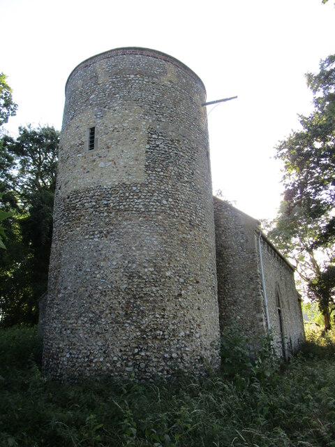
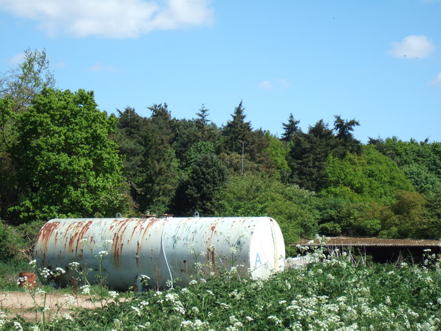
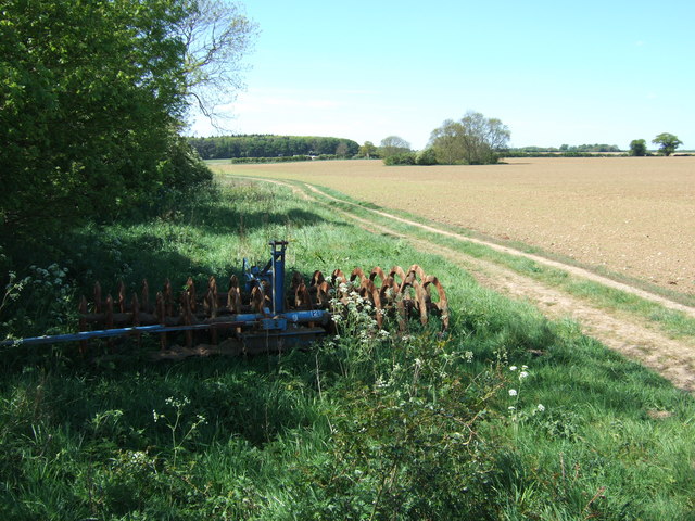
The Belt, Norfolk, has a long and fascinating history. It has been subject to human influence for centuries, with evidence of ancient settlements and farming practices. The woodland has also played a role in local industries, such as timber production and hunting. Today, it is actively managed by forestry organizations to maintain its ecological balance and preserve its natural heritage.

The Belt, Norfolk, attracts a significant number of visitors each year, both locals and tourists. Its tranquil atmosphere and picturesque landscapes make it a popular destination for nature enthusiasts and outdoor enthusiasts alike. The woodland offers a peaceful retreat from the hustle and bustle of city life, allowing visitors to connect with nature and experience the beauty of the English countryside.

If you have any feedback on the listing, please let us know in the comments section below.

The Belt Images

Images are sourced within 2km of 52.86906/0.69681892 or Grid Reference TF8133. Thanks to Geograph Open Source API. All images are credited.

Footpath from the church at Barmer
All Saints' church, Barmer Hidden in an overgrown churchyard which has effectively become woodland.
The church is largely of the twelfth century <span class="nowrap"><a title="https://historicengland.org.uk/listing/the-list/list-entry/1077802?section=official-list-entry" rel="nofollow ugc noopener" href="https://historicengland.org.uk/listing/the-list/list-entry/1077802?section=official-list-entry">Link</a><img style="margin-left:2px;" alt="External link" title="External link - shift click to open in new window" src="https://s1.geograph.org.uk/img/external.png" width="10" height="10"/></span> and is maintained by the Norfolk Churches Trust <span class="nowrap"><a title="https://norfolkchurchestrust.org.uk/churches/barmer-all-saints/" rel="nofollow ugc noopener" href="https://norfolkchurchestrust.org.uk/churches/barmer-all-saints/">Link</a><img style="margin-left:2px;" alt="External link" title="External link - shift click to open in new window" src="https://s1.geograph.org.uk/img/external.png" width="10" height="10"/></span>
All Saints' church, Barmer
Hidden in an overgrown churchyard which has effectively become woodland. The church is largely of the twelfth century LinkExternal link and is maintained by the Norfolk Churches Trust LinkExternal link
Wind turbines beyond Hundred Acre Plantation
Junction on Barwick Road The road to the right is to Barwick Hall Farm.
Junction on Barwick Road
The road to the right is to Barwick Hall Farm.
Two Trees on a field boundary On the edge of the medieval village site of Great Barwick.  The concrete "lego" blocks form a farm machinery storage area.
Two Trees on a field boundary
On the edge of the medieval village site of Great Barwick. The concrete "lego" blocks form a farm machinery storage area.
Lane in Coxford Wood On the edge of Syderstone Common and probably called Rudham Road? This road was cut in two by the B1454 which was one of several new roads constructed or diverted in the area when Sculthorpe Airfield was built in the mid 20th century
Lane in Coxford Wood
On the edge of Syderstone Common and probably called Rudham Road? This road was cut in two by the B1454 which was one of several new roads constructed or diverted in the area when Sculthorpe Airfield was built in the mid 20th century
Farmland near Barmer Common Plantation West of Syderstone in Norfolk
Farmland near Barmer Common Plantation
West of Syderstone in Norfolk
Barmer Farm, Barmer North west of Syderstone in Norfolk
Barmer Farm, Barmer
North west of Syderstone in Norfolk
Large tank at Barmer Farm, Barmer Tank A - probably used for water storage at this farm north west of Syderstone
Large tank at Barmer Farm, Barmer
Tank A - probably used for water storage at this farm north west of Syderstone
Track north of Barmer in Norfolk
Not what's shown on the map! This track north east of Barmer in Norfolk is shown on OS maps as a metalled road. It is actually a deeply rutted track in places
Not what's shown on the map!
This track north east of Barmer in Norfolk is shown on OS maps as a metalled road. It is actually a deeply rutted track in places
Track shown as metalled road on map! North east of Barmer in Norfolk
Track shown as metalled road on map!
North east of Barmer in Norfolk
Cultivator and farmland North east of Barmer in Norfolk
Cultivator and farmland
North east of Barmer in Norfolk
Track to Manor Ling, Syderstone, Norfolk
Farmland near Manor Ling north of  Syderstone in Norfolk
Farmland near Manor Ling north of Syderstone in Norfolk
Hawthorn hedge near Manor Ling North of Syderstone in Norfolk
Hawthorn hedge near Manor Ling
North of Syderstone in Norfolk
Gorse bushes on Syderstone Common in Norfolk A view looking east from Rudham Road
Gorse bushes on Syderstone Common in Norfolk
A view looking east from Rudham Road
Syderstone Common in Norfolk
Show me another place!

The Belt is located at Grid Ref: TF8133 (Lat: 52.86906, Lng: 0.69681892)

Administrative County: Norfolk

District: King's Lynn and West Norfolk

Police Authority: Norfolk

What 3 Words

///maternal.escapes.narrating. Near Fakenham, Norfolk

Related Wikis

Bagthorpe with Barmer

Bagthorpe with Barmer is a civil parish in the English county of Norfolk. The parish includes the hamlets of Bagthorpe and Barmer, it is around 7+1⁄2 miles...

Syderstone

Syderstone is a civil parish in the English county of Norfolk, near the town of Fakenham. It has an area of 9.94 km2 (3.84 sq mi). The population of 532...

Barwick, Norfolk

Barwick is a scattered hamlet and civil parish in the north-west part of the English county of Norfolk. It is situated adjacent to the slightly larger...

Syderstone Common

Syderstone Common is a 43.7-hectare (108-acre) biological Site of Special Scientific Interest west of Fakenham in Norfolk. An area of 24-hectare (59-acre...

Nearby Amenities

Located within 500m of 52.86906,0.69681892
Barmer
Place: hamlet
Lat/Long: 52.8689778/0.6935808
The Garden
Phone: +44 1485578220
Tourism: camp_site
Lat/Long: 52.8698656/0.6917029
The data included in this document is from www.openstreetmap.org. The data is made available under ODbL.

Have you been to The Belt?

Leave your review of The Belt below (or comments, questions and feedback).