Attleborough Covert

Wood, Forest in Norfolk Breckland

England

Attleborough Covert

Paddock at Lynford Arboretum The best place to see Hawfinch in the Brecks, see <a href="https://www.geograph.org.uk/photo/1036176">TL8293 : Hawfinch (Coccothraustes coccothraustes)</a>
Paddock at Lynford Arboretum Credit: Hugh Venables

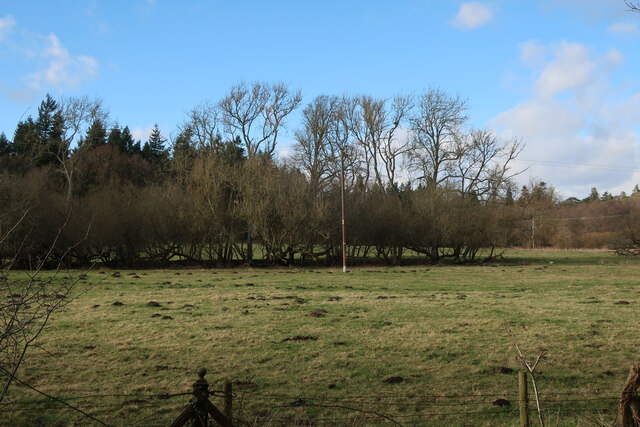
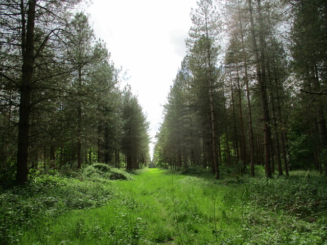
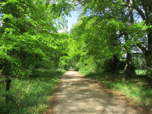
Attleborough Covert is a picturesque woodland located in Norfolk, England. Covering an area of approximately 30 acres, it is a popular destination for nature enthusiasts and those seeking a tranquil retreat. This ancient woodland is known for its diverse range of plant and animal species, providing a habitat for a variety of wildlife.

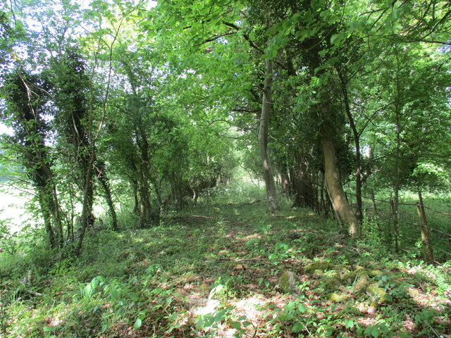
The woodland is predominantly composed of broad-leaved trees, including oak, beech, and birch. The dense canopy formed by these trees creates a shaded and cool environment, perfect for a leisurely walk or a picnic on a hot summer day. The forest floor is covered in a lush carpet of bluebells, wild garlic, and ferns, adding to the enchanting atmosphere of the covert.

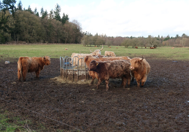
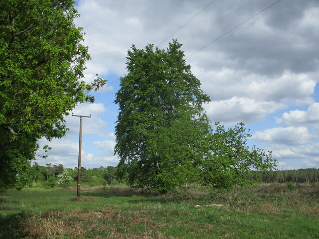
Attleborough Covert is also home to a rich array of wildlife. Birdwatchers can spot species such as woodpeckers, nuthatches, and tawny owls, while those with a keen eye may catch a glimpse of the elusive deer that roam the woodland. The covert is also inhabited by a variety of small mammals, including foxes, rabbits, and squirrels.

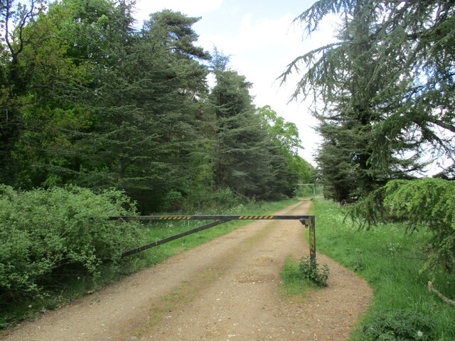
Visitors to Attleborough Covert can enjoy a network of well-maintained footpaths that meander through the woodland, allowing for easy exploration of its hidden corners. The peaceful atmosphere and natural beauty of the covert make it an ideal location for photography, nature walks, or simply unwinding in the serenity of the forest.

Managed by local authorities, Attleborough Covert is open to the public throughout the year, free of charge. It is easily accessible by car or public transportation, making it a popular destination for both locals and tourists alike.

If you have any feedback on the listing, please let us know in the comments section below.

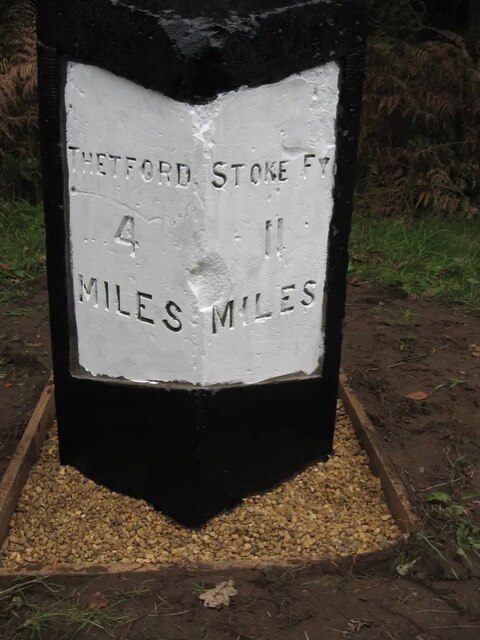
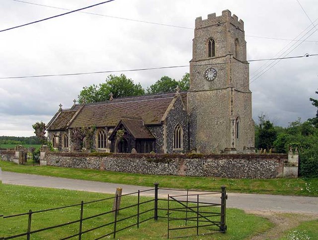
Attleborough Covert Images

Images are sourced within 2km of 52.504196/0.67154756 or Grid Reference TL8192. Thanks to Geograph Open Source API. All images are credited.

Paddock at Lynford Arboretum The best place to see Hawfinch in the Brecks, see <a href="https://www.geograph.org.uk/photo/1036176">TL8293 : Hawfinch (Coccothraustes coccothraustes)</a>
Paddock at Lynford Arboretum
The best place to see Hawfinch in the Brecks, see TL8293 : Hawfinch (Coccothraustes coccothraustes)
Paddock at Lynford Arboretum
Forest track at Lynford
Overgrown track to the church of Our Lady of Consolation and St. Stephen, Lynford
Ride in Big Wood, Lynford
Forest track at Lynford
Restoration at the Church of Our Lady of Consolation and St Stephen, Lynford The church was built in 1879 and designed by Henry Clutton <span class="nowrap"><a title="https://historicengland.org.uk/listing/the-list/list-entry/1077247?section=official-list-entry" rel="nofollow ugc noopener" href="https://historicengland.org.uk/listing/the-list/list-entry/1077247?section=official-list-entry">Link</a><img style="margin-left:2px;" alt="External link" title="External link - shift click to open in new window" src="https://s1.geograph.org.uk/img/external.png" width="10" height="10"/></span>
Restoration at the Church of Our Lady of Consolation and St Stephen, Lynford
The church was built in 1879 and designed by Henry Clutton LinkExternal link
Remaining tree This area has been clear felled but one or two trees remain.
Remaining tree
This area has been clear felled but one or two trees remain.
Old Milestone by the A134, north of Lynford Carved stone post by the A134, in parish of Lynford (Breckland District), West Tofts Heath, on the verge, on East side of road. Erected by the Bury St Edmunds to Cranwich turnpike trust in the 19th century. An earlier photograph can be found here <a title="https://www.geograph.org.uk/photo/6035325" href="https://www.geograph.org.uk/photo/6035325">Link</a>.

Inscription reads:-
: THETFORD / 4 / MILES : : STOKE FY / 11 / MILES :
Carved benchmark on top.

Norfolk HER listed. NHER Number: 56804 <span class="nowrap"><a title="https://www.heritagegateway.org.uk/Gateway/Results_Single.aspx?uid=MNF63218&resourceID=1002" rel="nofollow ugc noopener" href="https://www.heritagegateway.org.uk/Gateway/Results_Single.aspx?uid=MNF63218&resourceID=1002">Link</a><img style="margin-left:2px;" alt="External link" title="External link - shift click to open in new window" src="https://s1.geograph.org.uk/img/external.png" width="10" height="10"/></span>

Milestone Society National ID: NO_SFT11
Old Milestone by the A134, north of Lynford
Carved stone post by the A134, in parish of Lynford (Breckland District), West Tofts Heath, on the verge, on East side of road. Erected by the Bury St Edmunds to Cranwich turnpike trust in the 19th century. An earlier photograph can be found here Link. Inscription reads:- : THETFORD / 4 / MILES : : STOKE FY / 11 / MILES : Carved benchmark on top. Norfolk HER listed. NHER Number: 56804 LinkExternal link Milestone Society National ID: NO_SFT11
Path through Big Wood Close to Lynford Stag car park <a href="https://www.geograph.org.uk/photo/1456866">TL8191 : Lynford Stag</a>, hence the bench. This area is within the open access land that makes up a large part of Thetford Forest.
Path through Big Wood
Close to Lynford Stag car park TL8191 : Lynford Stag, hence the bench. This area is within the open access land that makes up a large part of Thetford Forest.
Path through Big Wood Looking back towards the Lynford Stag car park.
Path through Big Wood
Looking back towards the Lynford Stag car park.
Path through Big Wood Heading towards Lynford Arboretum.
Path through Big Wood
Heading towards Lynford Arboretum.
Track in Thetford Forest Most of the forest is designated as open access land so you are free to wander down any of the tracks.
Track in Thetford Forest
Most of the forest is designated as open access land so you are free to wander down any of the tracks.
Lynford Arboretum paddocks Looking towards Lynford Hall Hotel.
Lynford Arboretum paddocks
Looking towards Lynford Hall Hotel.
Lynford Water Former gravel pits, now opened for access. This pit is left undisturbed for the birds.
Lynford Water
Former gravel pits, now opened for access. This pit is left undisturbed for the birds.
Lynford Lakes bird hide Overlooking the western pit.
Lynford Lakes bird hide
Overlooking the western pit.
Lynford Water beach The sign says the water is not up to designated standards for swimming and no-one has got round to removing the quicksand sign. There would have been the potential for quicksand when gravel was cleaned and the sand and silt laden water poured back into the pit creating sand supersaturated with water. By now it will have all settled.
Lynford Water beach
The sign says the water is not up to designated standards for swimming and no-one has got round to removing the quicksand sign. There would have been the potential for quicksand when gravel was cleaned and the sand and silt laden water poured back into the pit creating sand supersaturated with water. By now it will have all settled.
Lynford Water information board Giving details about access to the gravel pits.
Lynford Water information board
Giving details about access to the gravel pits.
Show me another place!

Attleborough Covert is located at Grid Ref: TL8192 (Lat: 52.504196, Lng: 0.67154756)

Administrative County: Norfolk

District: Breckland

Police Authority: Norfolk

What 3 Words

///supposes.openly.land. Near Mundford, Norfolk

Related Wikis

Nearby Amenities

Located within 500m of 52.504196,0.67154756
Barrier: bar
Lat/Long: 52.5041153/0.6755583
Barrier: bar
Lat/Long: 52.5062805/0.6765326
Bench
Lat/Long: 52.5045141/0.6687098
Barrier: bar
Lat/Long: 52.5080975/0.6692231
Barrier: bar
Lat/Long: 52.5080688/0.6696772
Barrier: bar
Bicycle: yes
Foot: yes
Motor Vehicle: yes
Lat/Long: 52.5044542/0.6757317
The data included in this document is from www.openstreetmap.org. The data is made available under ODbL.

Have you been to Attleborough Covert?

Leave your review of Attleborough Covert below (or comments, questions and feedback).