Chiplow Thirty Acre Plantation
Wood, Forest in Norfolk King's Lynn and West Norfolk
England
Chiplow Thirty Acre Plantation
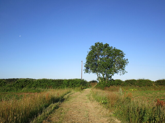
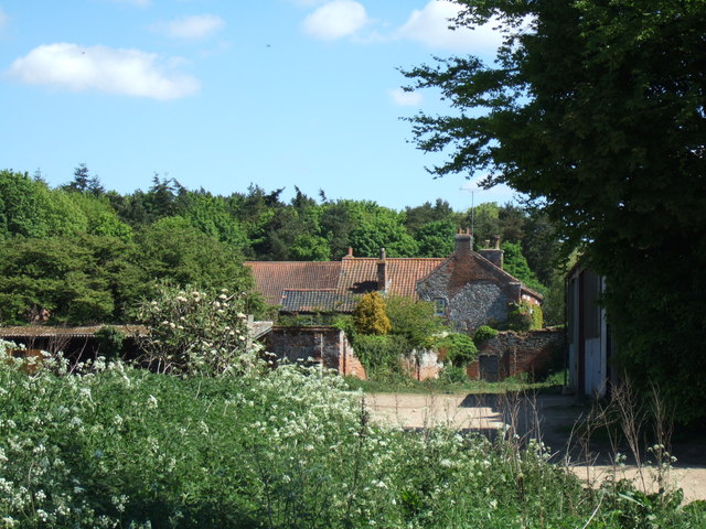
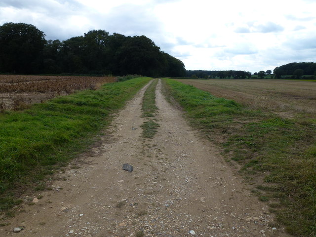
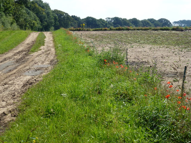
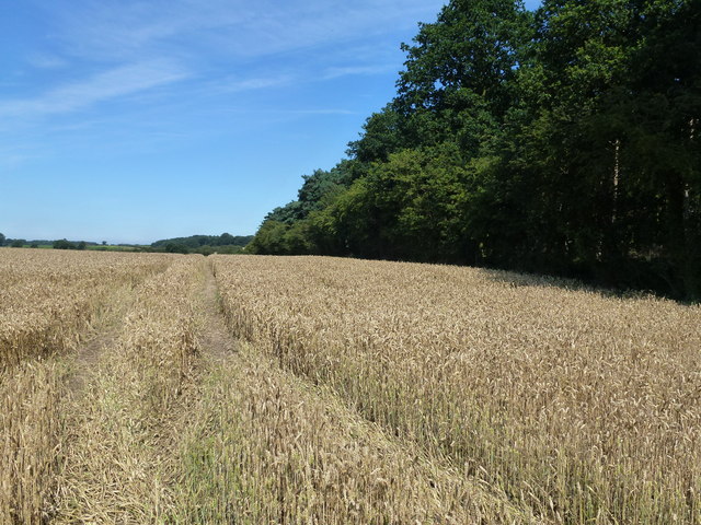
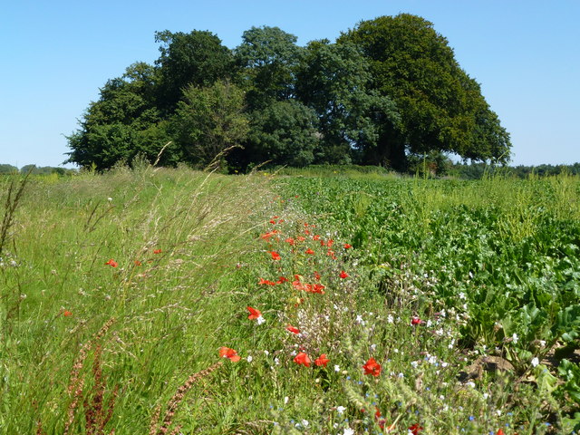
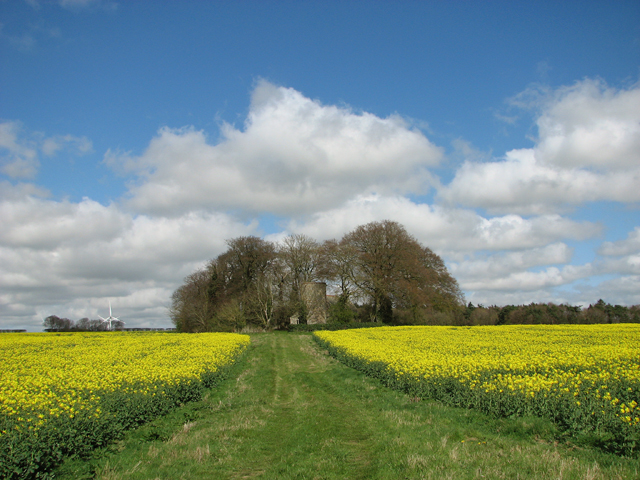
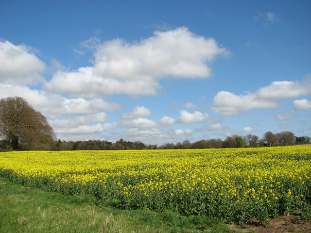
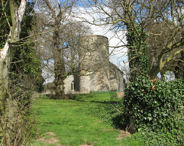
Chiplow Thirty Acre Plantation, located in Norfolk, is a picturesque wood and forest area that spans approximately 30 acres. Nestled in the heart of the Norfolk countryside, this plantation offers a serene and tranquil environment for nature enthusiasts and visitors alike.
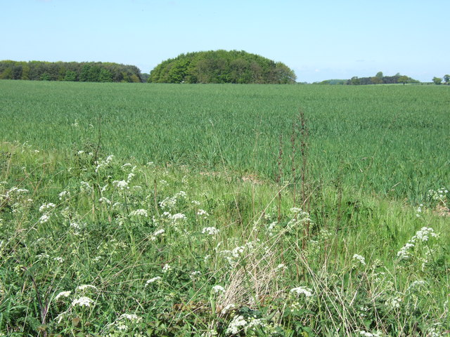
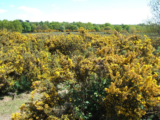
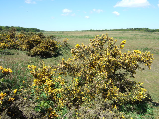
The plantation is characterized by its dense woodland, which consists of a diverse range of tree species, including oak, ash, beech, and pine. The towering trees provide a lush canopy that offers shade and shelter to various wildlife species that call this plantation their home.
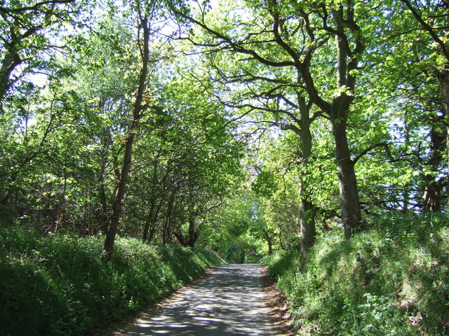
Walking through the Chiplow Thirty Acre Plantation, visitors can enjoy a network of well-marked trails that wind through the forested area. These trails offer an opportunity to explore the natural beauty of the plantation while enjoying the fresh air and peaceful ambiance. Along the way, visitors may come across small streams, wildflowers, and occasional glimpses of wildlife, such as squirrels, rabbits, and a variety of bird species.
The Chiplow Thirty Acre Plantation also serves as an important habitat for many rare and endangered species. Conservation efforts are in place to protect and preserve the plantation's unique ecosystem, ensuring the continued survival of these species.
In addition to its natural beauty, the plantation also offers educational programs and guided tours for schools and interested groups. These programs aim to raise awareness about the importance of conservation and the various ecosystems present within the Chiplow Thirty Acre Plantation.
Overall, Chiplow Thirty Acre Plantation in Norfolk is a haven for nature lovers, providing a tranquil escape where visitors can immerse themselves in the beauty of the woodland and forest environment while learning about the importance of preserving our natural heritage.
If you have any feedback on the listing, please let us know in the comments section below.
Chiplow Thirty Acre Plantation Images
Images are sourced within 2km of 52.852572/0.68833945 or Grid Reference TF8131. Thanks to Geograph Open Source API. All images are credited.

Chiplow Thirty Acre Plantation is located at Grid Ref: TF8131 (Lat: 52.852572, Lng: 0.68833945)
Administrative County: Norfolk
District: King's Lynn and West Norfolk
Police Authority: Norfolk
What 3 Words
///unravel.prowling.loft. Near Fakenham, Norfolk
Nearby Locations
Related Wikis

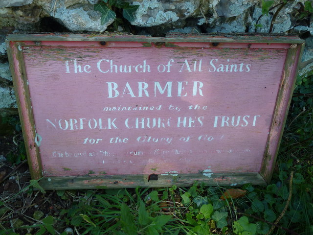
Bagthorpe with Barmer
Bagthorpe with Barmer is a civil parish in the English county of Norfolk. The parish includes the hamlets of Bagthorpe and Barmer, it is around 7+1⁄2 miles...

Syderstone Common
Syderstone Common is a 43.7-hectare (108-acre) biological Site of Special Scientific Interest west of Fakenham in Norfolk. An area of 24-hectare (59-acre...

Syderstone
Syderstone is a civil parish in the English county of Norfolk, near the town of Fakenham. It has an area of 9.94 km2 (3.84 sq mi). The population of 532...

Bagthorpe, Norfolk
Bagthorpe is a village and former civil parish, now in the parish of Bagthorpe with Barmer, in the King's Lynn and West Norfolk district, in the county...

Bircham Tofts
Bircham Tofts is one of the three villages that make up the civil parish of Bircham, in the west of the English county of Norfolk. The village is located...

Barwick, Norfolk
Barwick is a scattered hamlet and civil parish in the north-west part of the English county of Norfolk. It is situated adjacent to the slightly larger...

Houghton Hall
Houghton Hall ( HOW-tən) is a country house in the parish of Houghton in Norfolk, England. It is the residence of David Cholmondeley, 7th Marquess of Cholmondeley...
RAF Bircham Newton
Royal Air Force Bircham Newton or more simply RAF Bircham Newton is a former Royal Air Force station located 2.1 miles (3.4 km) south east of Docking,...
Nearby Amenities
Located within 500m of 52.852572,0.68833945Have you been to Chiplow Thirty Acre Plantation?
Leave your review of Chiplow Thirty Acre Plantation below (or comments, questions and feedback).