Brooms Wood

Wood, Forest in Kent

England

Brooms Wood

M2 from Medway Services The M2 runs for 26 miles between Strood and Faversham. It was constructed between 1963 and 1965. 
Read more at wikipedia <span class="nowrap"><a title="http://en.wikipedia.org/wiki/M2_motorway_(Great_Britain)" rel="nofollow ugc noopener" href="http://en.wikipedia.org/wiki/M2_motorway_(Great_Britain)">Link</a><img style="margin-left:2px;" alt="External link" title="External link - shift click to open in new window" src="https://s1.geograph.org.uk/img/external.png" width="10" height="10"/></span>
M2 from Medway Services Credit: PAUL FARMER

Brooms Wood is a picturesque and enchanting woodland located in Kent, England. Covering an area of approximately 200 acres, this ancient woodland is a haven for nature lovers, offering a diverse range of flora and fauna. Situated in the heart of the Kent Downs Area of Outstanding Natural Beauty, Brooms Wood is surrounded by rolling hills and stunning landscapes.

The wood is predominantly composed of broad-leaved trees such as oak, ash, and beech, creating a dense and vibrant canopy that provides a sheltered and tranquil environment. The woodland floor is carpeted with a variety of wildflowers, including bluebells, primroses, and wood anemones, which create a colorful display during springtime.

Brooms Wood is home to a wide array of wildlife, making it a popular spot for birdwatchers and nature enthusiasts. Visitors can frequently spot woodland birds such as great spotted woodpeckers, tawny owls, and nuthatches. The wood also supports a rich population of mammals, including foxes, badgers, and deer.

Several walking trails meander through Brooms Wood, allowing visitors to explore its natural beauty at their own pace. The paths wind through the ancient trees, leading to hidden clearings and peaceful glades that provide perfect spots for a picnic or a moment of quiet reflection.

With its idyllic setting and diverse ecosystem, Brooms Wood is not only a local gem but also a valuable habitat for wildlife. Its accessibility and natural beauty make it a popular destination for those seeking a peaceful retreat in the heart of the Kent countryside.

If you have any feedback on the listing, please let us know in the comments section below.
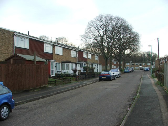
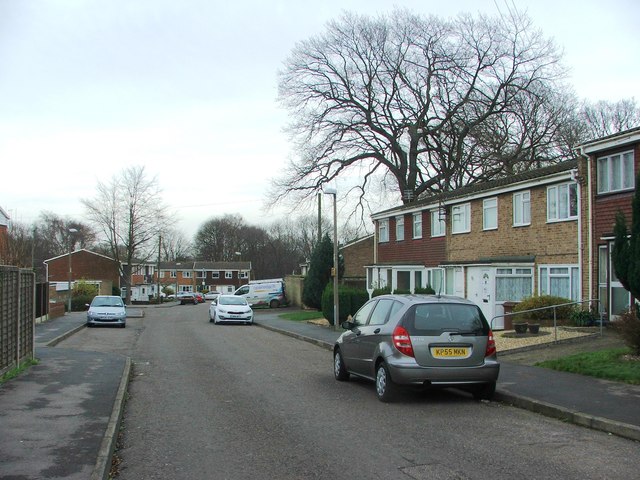
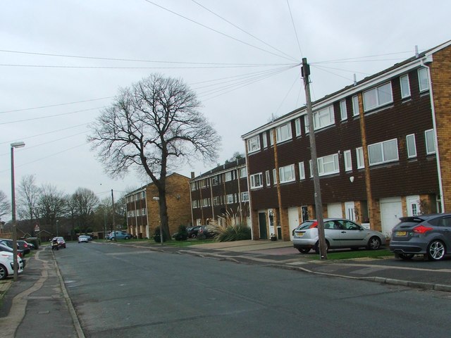
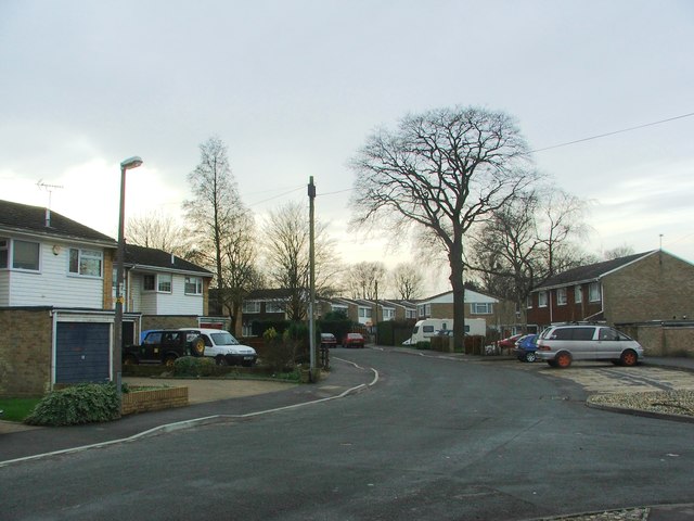
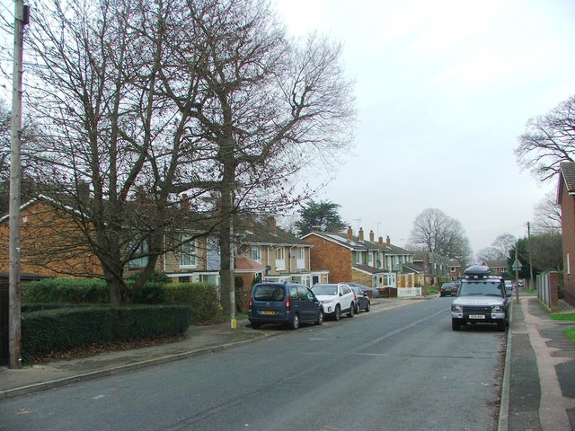
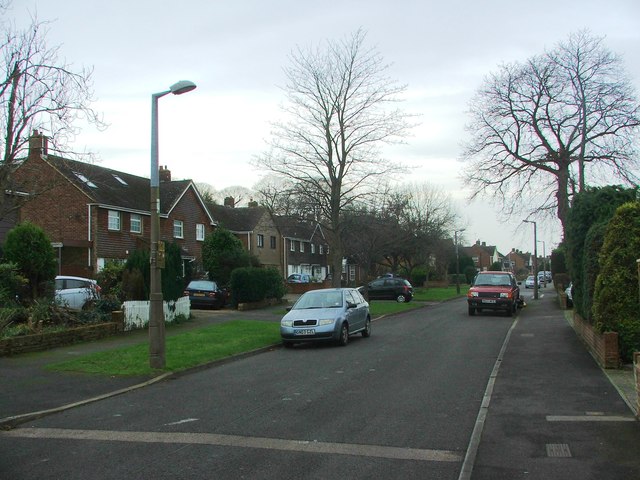
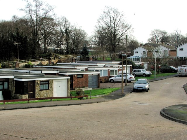
Brooms Wood Images

Images are sourced within 2km of 51.338446/0.59780657 or Grid Reference TQ8163. Thanks to Geograph Open Source API. All images are credited.

M2 from Medway Services The M2 runs for 26 miles between Strood and Faversham. It was constructed between 1963 and 1965. 
Read more at wikipedia <span class="nowrap"><a title="http://en.wikipedia.org/wiki/M2_motorway_(Great_Britain)" rel="nofollow ugc noopener" href="http://en.wikipedia.org/wiki/M2_motorway_(Great_Britain)">Link</a><img style="margin-left:2px;" alt="External link" title="External link - shift click to open in new window" src="https://s1.geograph.org.uk/img/external.png" width="10" height="10"/></span>
M2 from Medway Services
The M2 runs for 26 miles between Strood and Faversham. It was constructed between 1963 and 1965. Read more at wikipedia LinkExternal link
Wollaston Close, Park Wood
Wildman Close, Park Wood
Hawbeck Road, Park Wood
Roper Close, Park Wood
Hawbeck Road, Park Wood
Georgian Way, Wigmore
Prinys Drive, Wigmore
Hanover Drive, Wigmore
Prinys Drive, Wigmore
Georgian Way, Wigmore
Bredhurst Road, Wigmore
Fairview Avenue, Wigmore
Brackwood Close, Park Wood
De Mere Close, Rainham
Chesham Drive, Rainham
Sutherland Gardens, Rainham
Barleycorn Drive, Rainham
Show me another place!

Brooms Wood is located at Grid Ref: TQ8163 (Lat: 51.338446, Lng: 0.59780657)

Unitary Authority: Medway

Police Authority: Kent

What 3 Words

///imparting.peanut.people. Near Rainham, Kent

Related Wikis

Medway services

Medway is a service area on the M2 motorway south of Medway, near Junction 4 in Kent, southeast England. It is managed by Moto and was previously named...

Park Wood, Medway

Park Wood or Parkwood is a housing estate and district in Gillingham at the south-eastern corner of the Medway conurbation in Kent, England. It was built...

Purple Hill

Purple Hill is a 14.9-hectare (37-acre) biological Site of Special Scientific Interest south of Gillingham in Kent. It is a Nature Conservation Review...

Levan Strice

Levan Strice is a 2.8-hectare (6.9-acre) Local Nature Reserve in Wigmore in Kent. It consists mostly of woodland with public access trails. It is owned...

Foxburrow Wood

Foxburrow Wood is a 6.1-hectare (15-acre) Local Nature Reserve in Rainham in Kent. It is owned and managed by Medway Council.This is a remnant of a much...

Yelsted

Yelsted is a hamlet in the Borough of Maidstone, in the county of Kent, England. In 1800, Edward Hasted noted that it was spelt Gillested. It was a manor...
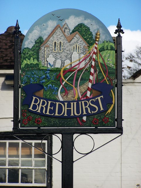
Bredhurst

Bredhurst is a village and civil parish in Kent, that forms part of the Borough of Maidstone in England. Its population was 330 (1990), increasing to 397...

Queendown Warren

Queendown Warren is a 22.2-hectare (55-acre) biological Site of Special Scientific Interest south-east of Rainham in Kent. It is a Local Nature Reserve...

Nearby Amenities

Located within 500m of 51.338446,0.59780657
Turning Circle
Lat/Long: 51.3421846/0.5997909
Crossing
Crossing Island: yes
Lat/Long: 51.3418217/0.5959739
Barrier: kissing_gate
Lat/Long: 51.3391606/0.5945601
Place Of Worship
St Augustine's Catholic Church
Denomination: catholic
Religion: christian
Lat/Long: 51.3409687/0.5954594
Bus Stop
Deanwood Drive, Longcatlis Road
Bus: yes
Naptan AtcoCode: 249000000455
Naptan Bearing: SW
Naptan CommonName: St Augustine School
Naptan Indicator: adj
Naptan Landmark: St Augustine of Canterbury RC Prim Sch
Naptan NaptanCode: chagjga
Naptan PlusbusZoneRef: MEDWAY
Naptan Street: Deanwood Drive
Naptan Verified: yes
Public Transport: platform
Source: naptan_import
Lat/Long: 51.3412862/0.5951659
Community Centre
Farthing Corner Families Association Community Centre
Building: yes
Lat/Long: 51.3401091/0.5985018
Barrier: kissing_gate
Lat/Long: 51.3400243/0.598395
Post Box
Postal Code: ME8
Ref: ME8 419
Lat/Long: 51.3393465/0.5912114
Post Box
Collection Plate: CP8D
Collection Times: Mo-Fr 09:00; Sa 07:00
Old Ref: ME8 386
Operator: Royal Mail
Operator Wikidata: Q638098
Post Box Type: pillar
Postal Code: ME8
Ref: ME8 386D
Royal Cypher: EIIR
Source: survey
Survey Date: 2022-12-17
Lat/Long: 51.3414267/0.6020907
Sandringham Road
Power: substation
Ref: 312065
Lat/Long: 51.3417003/0.6022157
Bus Stop
Deanwood Drive, Longcatlis Road
Bus: yes
Naptan AtcoCode: 249000000454
Naptan Bearing: NE
Naptan CommonName: St Augustine School
Naptan Indicator: opp
Naptan Landmark: St Augustine of Canterbury RC Prim Sch
Naptan NaptanCode: chagjdw
Naptan PlusbusZoneRef: MEDWAY
Naptan Street: Deanwood Drive
Naptan Verified: yes
Public Transport: platform
Source: naptan_import
Lat/Long: 51.3414405/0.5951173
Bus Stop
Hawbeck Road
Bus: yes
Naptan AtcoCode: 249000000456
Naptan Bearing: NE
Naptan CommonName: Hawbeck Road
Naptan Indicator: adj
Naptan Landmark: Hawbeck Road
Naptan NaptanCode: chagjgd
Naptan PlusbusZoneRef: MEDWAY
Naptan Street: Deanwood Drive
Naptan Verified: no
Public Transport: platform
Source: naptan_import
Lat/Long: 51.3396722/0.5919835
Bus Stop
Hawbeck Road
Bus: yes
Naptan AtcoCode: 249000000457
Naptan Bearing: SW
Naptan CommonName: Hawbeck Road
Naptan Indicator: opp
Naptan Landmark: Hawbeck Road
Naptan NaptanCode: chagjgj
Naptan PlusbusZoneRef: MEDWAY
Naptan Street: Deanwood Drive
Naptan Verified: yes
Public Transport: platform
Source: naptan_import
Lat/Long: 51.3393755/0.5917999
Air Training Corps
Building: yes
Lat/Long: 51.3408262/0.5917206
Barrier: kissing_gate
Lat/Long: 51.3407651/0.6021482
Traffic Calming: cushion
Lat/Long: 51.3412285/0.5939552
Traffic Calming: cushion
Lat/Long: 51.3416696/0.5933987
Generator Method: photovoltaic
Generator Output Electricity: yes
Generator Source: solar
Generator Type: solar_photovoltaic_panel
Location: roof
Power: generator
Lat/Long: 51.3412474/0.6017777
Generator Method: photovoltaic
Generator Output Electricity: yes
Generator Source: solar
Generator Type: solar_photovoltaic_panel
Location: roof
Power: generator
Lat/Long: 51.341229/0.6017187
Generator Method: photovoltaic
Generator Output Electricity: yes
Generator Source: solar
Generator Type: solar_photovoltaic_panel
Location: roof
Power: generator
Lat/Long: 51.3416093/0.6007612
Generator Method: photovoltaic
Generator Output Electricity: yes
Generator Source: solar
Generator Type: solar_photovoltaic_panel
Location: roof
Power: generator
Lat/Long: 51.3415574/0.6005841
Generator Method: photovoltaic
Generator Output Electricity: yes
Generator Source: solar
Generator Type: solar_photovoltaic_panel
Location: roof
Power: generator
Lat/Long: 51.3415205/0.6004554
Generator Method: photovoltaic
Generator Output Electricity: yes
Generator Source: solar
Generator Type: solar_photovoltaic_panel
Location: roof
Power: generator
Lat/Long: 51.3414988/0.5989024
Generator Method: photovoltaic
Generator Output Electricity: yes
Generator Source: solar
Generator Type: solar_photovoltaic_panel
Location: roof
Power: generator
Lat/Long: 51.3414535/0.5989373
Generator Method: photovoltaic
Generator Output Electricity: yes
Generator Source: solar
Generator Type: solar_photovoltaic_panel
Location: roof
Power: generator
Lat/Long: 51.3414602/0.5990124
Generator Method: photovoltaic
Generator Output Electricity: yes
Generator Source: solar
Generator Type: solar_photovoltaic_panel
Location: roof
Power: generator
Lat/Long: 51.3415138/0.5989721
Generator Method: photovoltaic
Generator Output Electricity: yes
Generator Source: solar
Generator Type: solar_photovoltaic_panel
Location: roof
Power: generator
Lat/Long: 51.3418757/0.5986208
Generator Method: photovoltaic
Generator Output Electricity: yes
Generator Source: solar
Generator Type: solar_photovoltaic_panel
Location: roof
Power: generator
Lat/Long: 51.3419059/0.598543
Generator Method: photovoltaic
Generator Output Electricity: yes
Generator Source: solar
Generator Type: solar_photovoltaic_panel
Location: roof
Power: generator
Lat/Long: 51.3409224/0.6024134
Generator Method: photovoltaic
Generator Output Electricity: yes
Generator Source: solar
Generator Type: solar_photovoltaic_panel
Location: roof
Power: generator
Lat/Long: 51.3409375/0.6024778
Generator Method: photovoltaic
Generator Output Electricity: yes
Generator Source: solar
Generator Type: solar_photovoltaic_panel
Location: roof
Power: generator
Lat/Long: 51.3411201/0.5975667
Generator Method: photovoltaic
Generator Output Electricity: yes
Generator Source: solar
Generator Type: solar_photovoltaic_panel
Location: roof
Power: generator
Lat/Long: 51.3410832/0.5980441
Generator Method: photovoltaic
Generator Output Electricity: yes
Generator Source: solar
Generator Type: solar_photovoltaic_panel
Location: roof
Power: generator
Lat/Long: 51.3410966/0.5981219
Generator Method: photovoltaic
Generator Output Electricity: yes
Generator Source: solar
Generator Type: solar_photovoltaic_panel
Location: roof
Power: generator
Lat/Long: 51.3423566/0.5987173
The data included in this document is from www.openstreetmap.org. The data is made available under ODbL.

Have you been to Brooms Wood?

Leave your review of Brooms Wood below (or comments, questions and feedback).