Randan Wood

Wood, Forest in Suffolk West Suffolk

England

Randan Wood

Farmland and Dovedenhall Wood Farmland and Dovedenhall Wood south of Horringer.
Farmland and Dovedenhall Wood Credit: Philip Halling

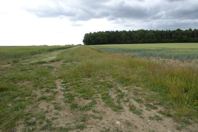
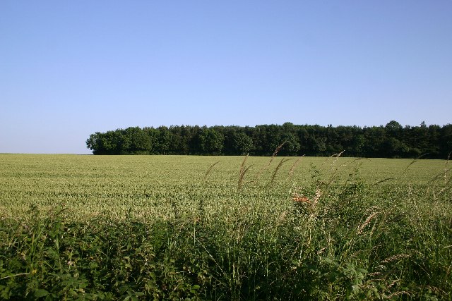
Randan Wood is a picturesque forest located in the county of Suffolk, England. Covering an area of approximately 200 acres, this enchanting woodland is known for its diverse flora and fauna, making it a haven for nature enthusiasts and wildlife lovers.

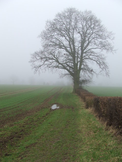
The wood is characterized by a dense canopy of trees, predominantly consisting of oak, birch, and beech. These towering trees create a tranquil and serene atmosphere, providing a perfect escape from the hustle and bustle of everyday life. The forest floor is carpeted with a rich undergrowth of ferns, mosses, and wildflowers, adding to the beauty and biodiversity of the area.

Randan Wood is home to a variety of wildlife species, including mammals such as deer, badgers, and foxes. Birdwatchers can delight in spotting a wide range of avian creatures, including woodpeckers, owls, and various songbirds. The forest also supports a diverse insect population, with butterflies and dragonflies fluttering among the foliage.

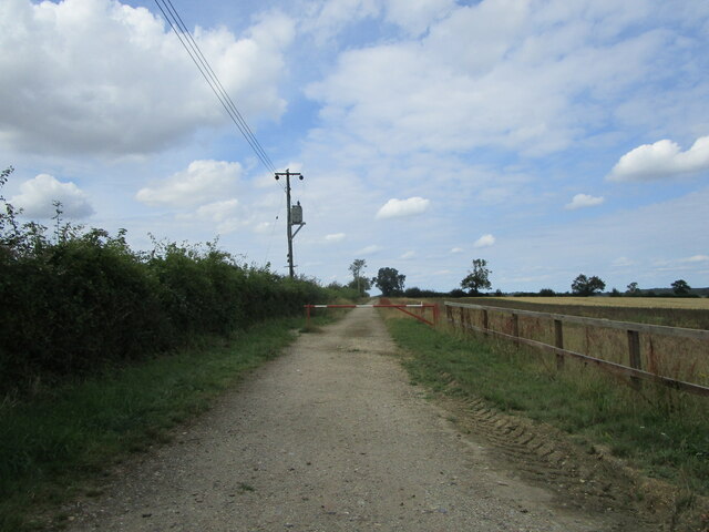
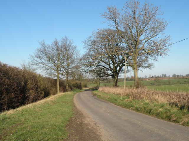
The wood offers numerous walking trails and paths, allowing visitors to explore its natural beauty at their own pace. These pathways meander through the forest, leading to hidden clearings and secluded spots, perfect for picnics or simply immersing oneself in the peaceful surroundings.

Randan Wood, Suffolk, is a true gem of natural beauty, offering a tranquil retreat for those seeking solace in the midst of nature. Its diverse ecosystem and scenic landscapes make it an ideal destination for outdoor enthusiasts and anyone looking to connect with the natural world.

If you have any feedback on the listing, please let us know in the comments section below.

Randan Wood Images

Images are sourced within 2km of 52.206351/0.64803124 or Grid Reference TL8159. Thanks to Geograph Open Source API. All images are credited.

Farmland and Dovedenhall Wood Farmland and Dovedenhall Wood south of Horringer.
Farmland and Dovedenhall Wood
Farmland and Dovedenhall Wood south of Horringer.
View east from near Selwood House
Farm track and footpath to Chevington Hill Farm
Houses on Old Post Office Road, Chevington
Fields near Chevington
Footpath to Chevington Hall Farm This footpath leads northwards from the minor road that connects Chevington to the A143.
Footpath to Chevington Hall Farm
This footpath leads northwards from the minor road that connects Chevington to the A143.
Queens Hill, heading away from Chevington
Winter Tree Tree in its winter state near to Chevington, Suffolk.
Winter Tree
Tree in its winter state near to Chevington, Suffolk.
Two When One Would Do Two footpath signs for the same footpath near to Chevington, Suffolk.
Two When One Would Do
Two footpath signs for the same footpath near to Chevington, Suffolk.
Road Junction The road junction of Queens Hill and Queens Lane near to Chevington, Suffolk.
Road Junction
The road junction of Queens Hill and Queens Lane near to Chevington, Suffolk.
Queens Lane Queens Lane looking north near to Chevington, Suffolk.
Queens Lane
Queens Lane looking north near to Chevington, Suffolk.
Queens Lane, just north of Chedburgh
Track out of the Ickworth estate towards Chevington
Conservation Area signage
Dovedenhall Wood The northern end of the wood, just south of the village of Horringer.
Dovedenhall Wood
The northern end of the wood, just south of the village of Horringer.
Plumton Hall Lodge The entrance lodge on the track leading to Plumton Hall.
Plumton Hall Lodge
The entrance lodge on the track leading to Plumton Hall.
Lady Katherine's Wood Southern end of the wood, which forms part of the boundary to Ickworth Park.
Lady Katherine's Wood
Southern end of the wood, which forms part of the boundary to Ickworth Park.
Pond at Chevington Hall Farm A large pond in the grounds of the farm, which can be seen in the background.
Pond at Chevington Hall Farm
A large pond in the grounds of the farm, which can be seen in the background.
Show me another place!

Randan Wood is located at Grid Ref: TL8159 (Lat: 52.206351, Lng: 0.64803124)

Administrative County: Suffolk

District: West Suffolk

Police Authority: Suffolk

What 3 Words

///wheat.vaulting.dockers. Near Bury St Edmunds, Suffolk

Related Wikis

St Mary's Church, Ickworth

Ickworth Church (more formally known as St Mary's Church, Ickworth) is a former parish church in Ickworth Park near Bury St Edmunds in Suffolk, England...

Ickworth House

Ickworth House is a country house at Ickworth, near Bury St Edmunds in Suffolk, England. It is a neoclassical building set in parkland. The house was the...

Hay Wood, Whepstead

Hay Wood, Whepstead is a 10.4-hectare (26-acre) biological Site of Special Scientific Interest west of Whepstead in Suffolk.This ancient wood on poorly...

Thingoe Rural District

Thingoe Rural District was a rural district in the county of West Suffolk, England between 1894 and 1974. It was named after the ancient Hundred of Thingoe...

Nearby Amenities

Located within 500m of 52.206351,0.64803124
Barrier: swing_gate
Lat/Long: 52.2065604/0.6522597
Power: pole
Lat/Long: 52.2049068/0.6544481
Power: pole
Lat/Long: 52.2053861/0.6479978
Power: pole
Lat/Long: 52.205489/0.6467926
Power: pole
Lat/Long: 52.2055922/0.645584
Power: pole
Lat/Long: 52.2050105/0.6529437
Power: pole
Lat/Long: 52.2059111/0.6417994
Power: pole
Lat/Long: 52.2052122/0.6502024
Power: pole
Lat/Long: 52.2057977/0.6431458
Power: pole
Lat/Long: 52.2052841/0.6491912
Power: pole
Lat/Long: 52.2051068/0.6515471
The Obelisk
Historic: monument
Tourism: attraction
Lat/Long: 52.2077113/0.6414748
Power: pole
Lat/Long: 52.2056942/0.6443739
Fixme: incomplete
Lat/Long: 52.2086364/0.6431468
Fixme: incomplete
Lat/Long: 52.2088345/0.6429201
Barrier: stile
Lat/Long: 52.2084852/0.6430159
Barrier: swing_gate
Lat/Long: 52.2074267/0.6489725
The data included in this document is from www.openstreetmap.org. The data is made available under ODbL.

Have you been to Randan Wood?

Leave your review of Randan Wood below (or comments, questions and feedback).