Marlpits Wood
Wood, Forest in Essex Maldon
England
Marlpits Wood
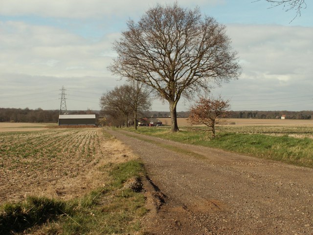
Marlpits Wood is a picturesque woodland located in the county of Essex, England. Situated near the village of Tolleshunt D'Arcy, this woodland covers an area of approximately 70 acres and is a popular destination for nature enthusiasts and hikers.
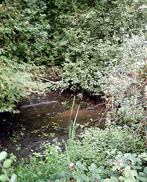
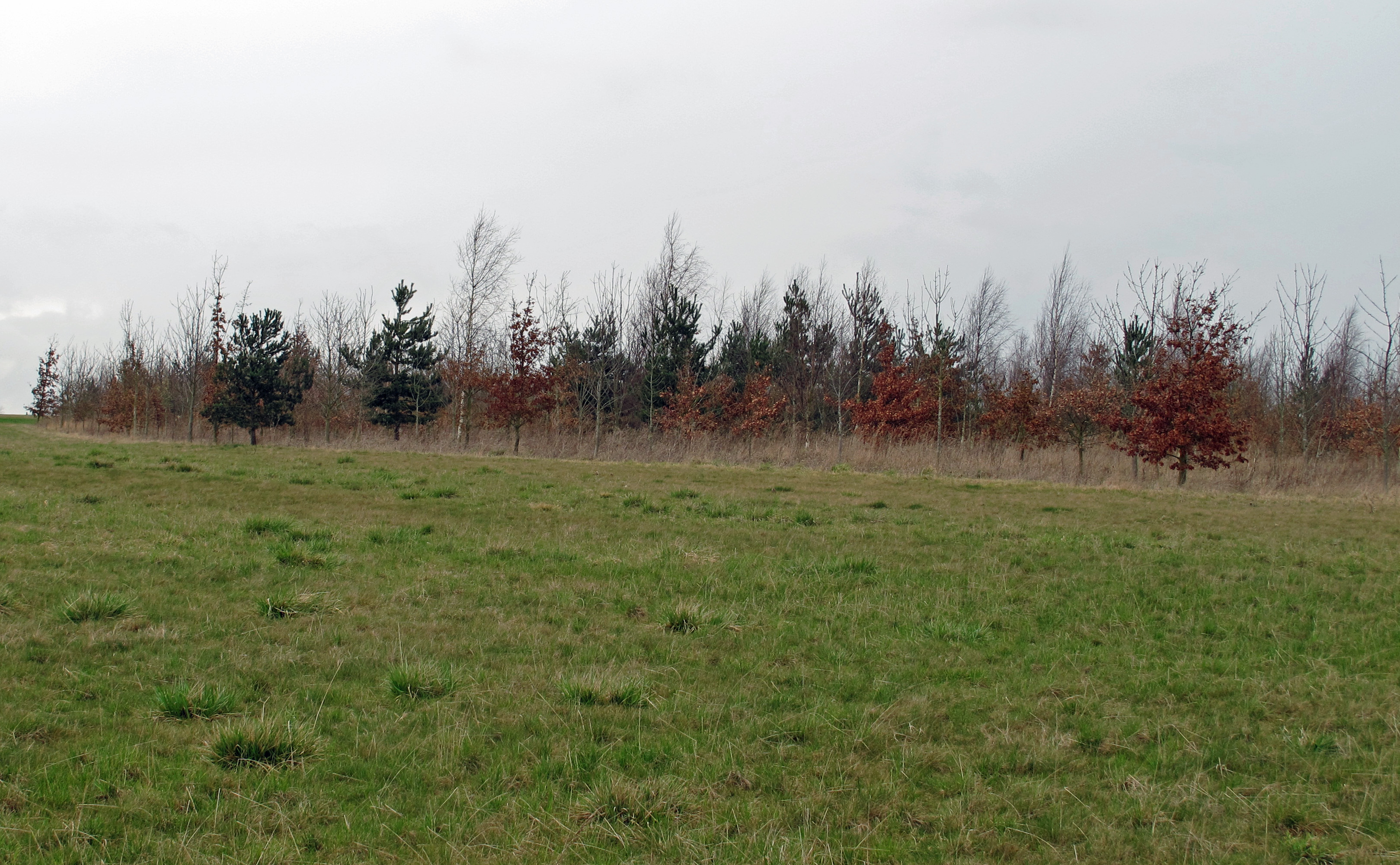
The wood is predominantly made up of native deciduous trees, including oak, ash, and birch, which provide a diverse habitat for a range of wildlife species. The forest floor is covered with a lush carpet of bluebells in the spring, creating a vibrant and colorful landscape.
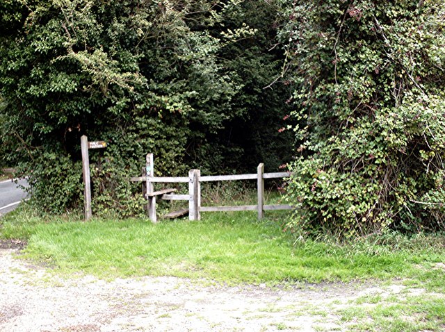
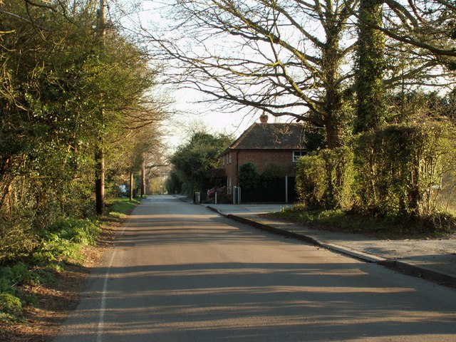
The wood is crisscrossed with a network of well-maintained footpaths, allowing visitors to explore the area and enjoy its natural beauty. These paths lead to various points of interest, including a small pond and a meadow, which is home to a variety of wildflowers and butterflies.
Marlpits Wood is also known for its rich history. The name "Marlpits" refers to the extraction of marl, a type of clay, which was once carried out in the area. The clay was used for various purposes, including pottery and construction.
Today, the wood is managed by a local conservation organization, which ensures the preservation of its natural features and encourages biodiversity. Visitors are encouraged to respect the woodland and its inhabitants, including the various bird species that can be spotted throughout the year.
Overall, Marlpits Wood offers a tranquil and scenic escape for nature lovers, providing a glimpse into the beauty and diversity of Essex's woodlands.
If you have any feedback on the listing, please let us know in the comments section below.
Marlpits Wood Images
Images are sourced within 2km of 51.699558/0.61825613 or Grid Reference TL8103. Thanks to Geograph Open Source API. All images are credited.


Marlpits Wood is located at Grid Ref: TL8103 (Lat: 51.699558, Lng: 0.61825613)
Administrative County: Essex
District: Maldon
Police Authority: Essex
What 3 Words
///striving.fills.cured. Near Bicknacre, Essex
Nearby Locations
Related Wikis

Hazeleigh
Hazeleigh is a village and civil parish on the Dengie peninsula in the English county of Essex. It lies 2.6 miles south-west of Maldon. == Hazeleigh... ==
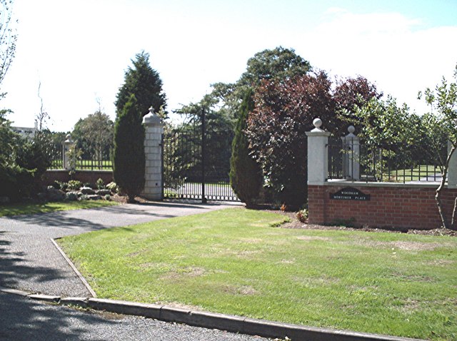
Woodham Mortimer
Woodham Mortimer is a village on the Dengie peninsula about three miles west-south-west of Maldon in the English county of Essex. The village is part of...

Bicknacre
Bicknacre is a village in the civil parish of Woodham Ferrers and Bicknacre, in the county of Essex, England. It is approximately 4.0 mi (6.5 km) north...
Woodham Ferrers and Bicknacre
Woodham Ferrers and Bicknacre is a civil parish in the Chelmsford district in Essex, England. The parish includes the villages of Bicknacre and Woodham...

Danbury, Essex
Danbury is a village in the City of Chelmsford district, in the county of Essex, England. It is located 33.5 miles (53.9 km) northeast of Charing Cross...
Purleigh
Purleigh is a village on the Dengie peninsula about 4 miles (6.4 km) south of Maldon in the English county of Essex. The village is part of the Purleigh...
Stow Maries Aerodrome
Stow Maries Aerodrome is a historical airfield located in the village of Stow Maries, Essex, England. The airfield was in use by the Royal Flying Corps...

Danbury Ridge Nature Reserves
Danbury Ridge Nature Reserves are a group of nature reserves totalling 101 hectares near Danbury in Essex, England. They are managed by the Essex Wildlife...
Nearby Amenities
Located within 500m of 51.699558,0.61825613Have you been to Marlpits Wood?
Leave your review of Marlpits Wood below (or comments, questions and feedback).