Boston Elms Wood
Wood, Forest in Kent Maidstone
England
Boston Elms Wood
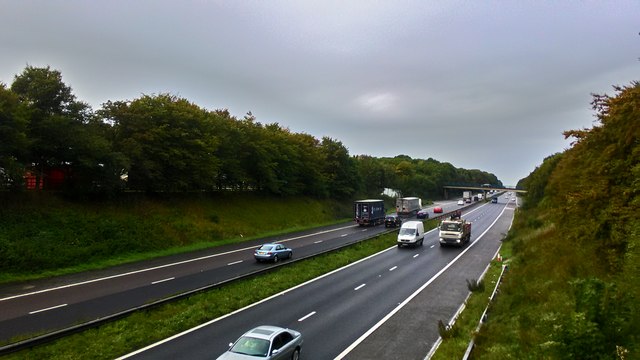
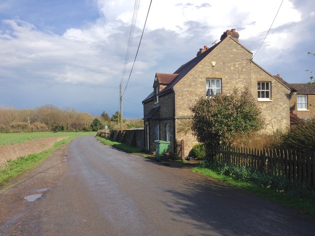
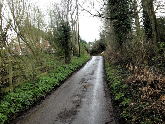
Boston Elms Wood, Kent (Wood, Forest) is a picturesque woodland located in the county of Kent, England. Covering an expansive area of approximately 200 acres, it is a popular destination for nature enthusiasts and outdoor adventurers alike. The woodland is characterized by its dense population of majestic elm trees, which give the area its distinctive name.
The forest boasts a diverse ecosystem, with a wide variety of plant and animal species. Visitors can expect to encounter vibrant wildflowers, ferns, and mosses that thrive in the damp and shaded environment. The woodland provides a sanctuary for numerous bird species, including woodpeckers, owls, and various songbirds, making it a haven for birdwatchers.
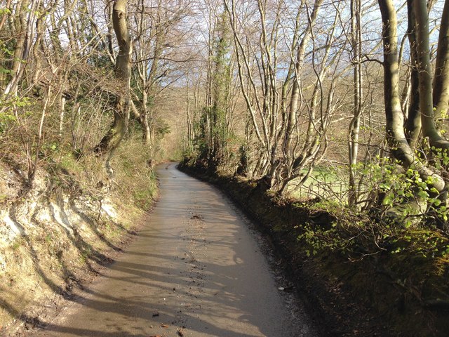
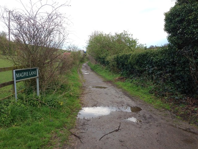
Boston Elms Wood offers a range of recreational opportunities for visitors. There are well-maintained walking trails that meander through the forest, allowing visitors to explore its beauty at their own pace. These trails provide a tranquil escape from the hustle and bustle of everyday life, with the soothing sounds of nature as a constant companion.
The woodland also features designated picnic areas and clearings, providing a perfect spot for families and friends to relax and enjoy a picnic amidst the scenic surroundings. Additionally, there are designated areas for camping, allowing visitors to immerse themselves in the peaceful ambiance of the forest overnight.
Overall, Boston Elms Wood, Kent is a captivating woodland that offers a serene and enchanting experience for nature enthusiasts, hikers, and families alike. With its lush vegetation, diverse wildlife, and well-maintained facilities, it is a must-visit destination for those seeking a connection with nature in the heart of Kent.
If you have any feedback on the listing, please let us know in the comments section below.
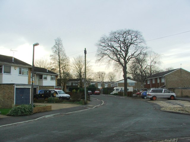
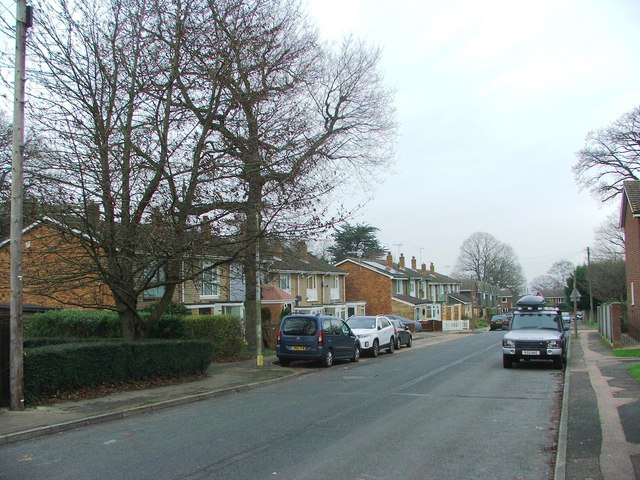
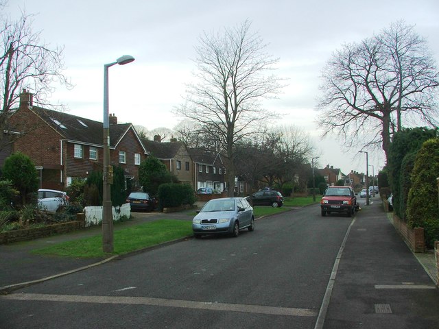
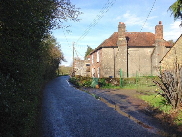
Boston Elms Wood Images
Images are sourced within 2km of 51.329767/0.59374122 or Grid Reference TQ8062. Thanks to Geograph Open Source API. All images are credited.


Boston Elms Wood is located at Grid Ref: TQ8062 (Lat: 51.329767, Lng: 0.59374122)
Administrative County: Kent
District: Maidstone
Police Authority: Kent
What 3 Words
///alpha.zipped.propelled. Near Rainham, Kent
Nearby Locations
Related Wikis

Purple Hill
Purple Hill is a 14.9-hectare (37-acre) biological Site of Special Scientific Interest south of Gillingham in Kent. It is a Nature Conservation Review...
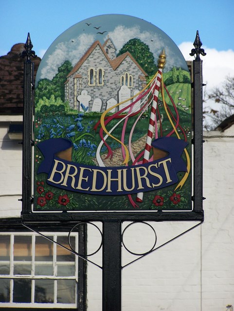
Bredhurst
Bredhurst is a village and civil parish in Kent, that forms part of the Borough of Maidstone in England. Its population was 330 (1990), increasing to 397...

Medway services
Medway is a service area on the M2 motorway south of Medway, near Junction 4 in Kent, southeast England. It is managed by Moto and was previously named...

Levan Strice
Levan Strice is a 2.8-hectare (6.9-acre) Local Nature Reserve in Wigmore in Kent. It consists mostly of woodland with public access trails. It is owned...

Dunn Street, Maidstone
Dunn Street is a hamlet near the village of Bredhurst and the M2 motorway, in Maidstone District, in the English county of Kent. It is south of the town...

Yelsted
Yelsted is a hamlet in the Borough of Maidstone, in the county of Kent, England. In 1800, Edward Hasted noted that it was spelt Gillested. It was a manor...

Park Wood, Medway
Park Wood or Parkwood is a housing estate and district in Gillingham at the south-eastern corner of the Medway conurbation in Kent, England. It was built...

Queendown Warren
Queendown Warren is a 22.2-hectare (55-acre) biological Site of Special Scientific Interest south-east of Rainham in Kent. It is a Local Nature Reserve...
Nearby Amenities
Located within 500m of 51.329767,0.59374122Have you been to Boston Elms Wood?
Leave your review of Boston Elms Wood below (or comments, questions and feedback).