Bearagehill Belt
Wood, Forest in Suffolk West Suffolk
England
Bearagehill Belt
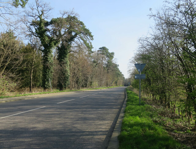
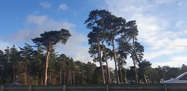
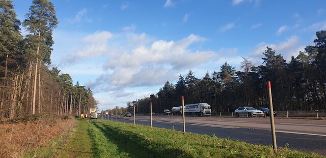
Bearagehill Belt, Suffolk is a dense woodland area located in the eastern region of England. Covering an approximate area of [insert area], it is renowned for its breathtaking natural beauty and rich biodiversity. The belt is characterized by its dense canopy of deciduous and coniferous trees, creating a lush and verdant landscape.
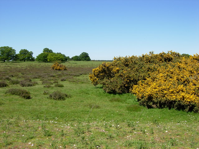
The woodland is predominantly composed of native tree species like oak, beech, birch, and pine. These trees provide valuable habitats for a diverse range of wildlife, including various species of birds, mammals, and insects. The forest floor is carpeted with a wide array of flora, such as bluebells, ferns, and mosses, adding to the enchanting atmosphere of the area.
Bearagehill Belt offers numerous opportunities for outdoor activities and exploration. There are several well-maintained trails that crisscross through the woodland, allowing visitors to immerse themselves in the tranquility of nature. These paths are suitable for walking, jogging, and cycling, catering to individuals of all fitness levels.
The forest is also home to a variety of recreational facilities, including picnic areas, nature reserves, and designated camping spots. These amenities provide visitors with the opportunity to enjoy a peaceful day surrounded by the sights and sounds of the natural world.
Bearagehill Belt is not only a popular destination for nature enthusiasts, but it also plays a vital role in conserving the local ecosystem. The Suffolk Wildlife Trust actively manages the area to maintain its ecological balance and protect its rare and endangered species.
In conclusion, Bearagehill Belt, Suffolk is a captivating woodland that offers a haven of serenity and natural beauty. Its lush vegetation, diverse wildlife, and recreational opportunities make it a cherished destination for locals and tourists alike.
If you have any feedback on the listing, please let us know in the comments section below.
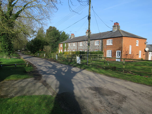
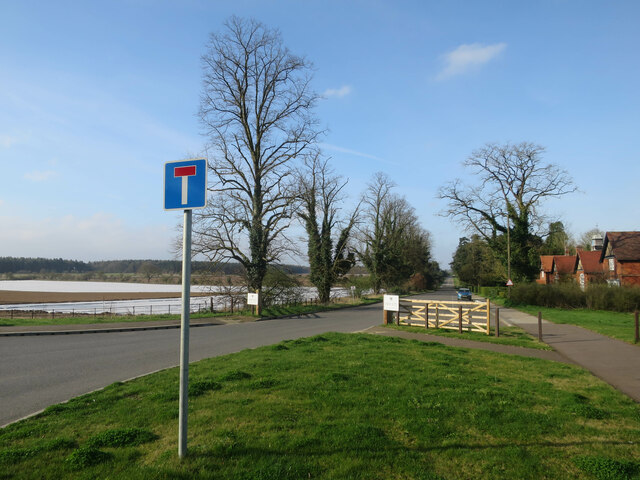
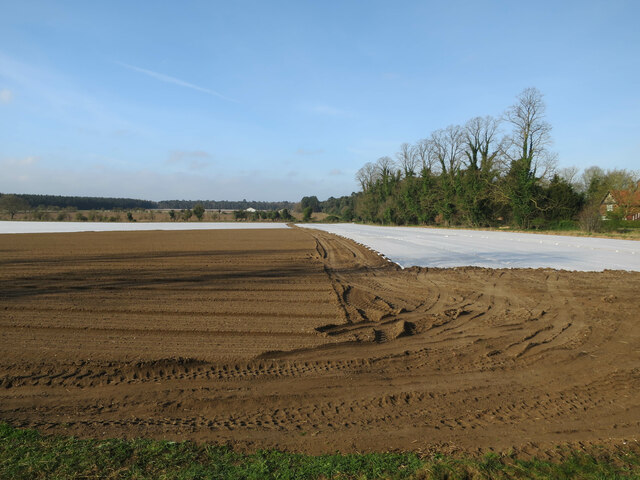
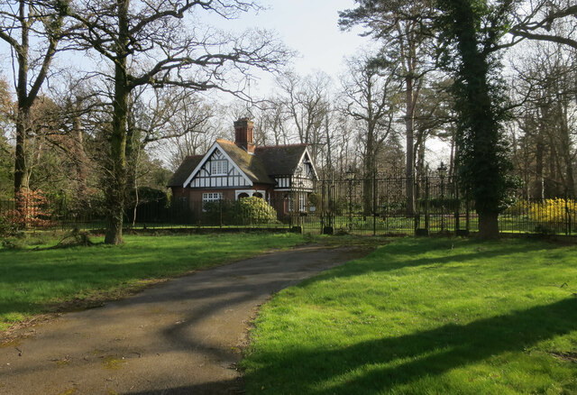
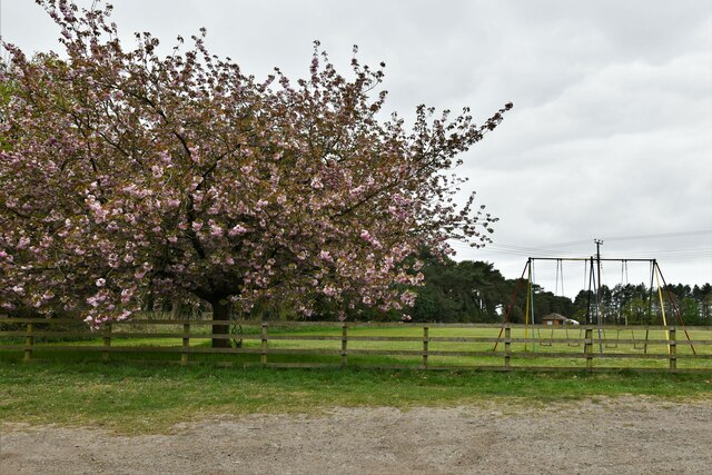
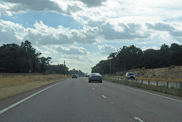
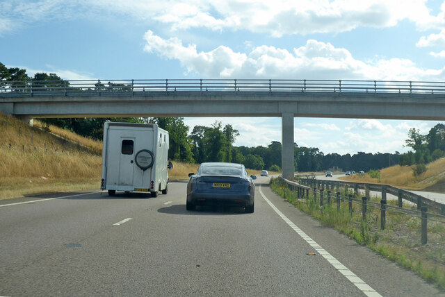
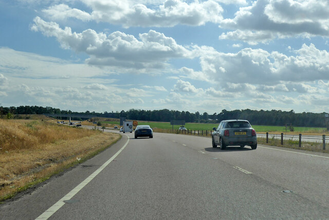
Bearagehill Belt Images
Images are sourced within 2km of 52.383383/0.65275262 or Grid Reference TL8079. Thanks to Geograph Open Source API. All images are credited.


Bearagehill Belt is located at Grid Ref: TL8079 (Lat: 52.383383, Lng: 0.65275262)
Administrative County: Suffolk
District: West Suffolk
Police Authority: Suffolk
What 3 Words
///descended.iron.ourselves. Near Thetford, Norfolk
Nearby Locations
Related Wikis

Elveden
Elveden is a village and civil parish in the West Suffolk district of Suffolk in eastern England. In 2005 it had a population of 270. The village is bypassed...

Elveden Hall
Elveden Hall is a large stately home on the Elveden Estate in Elveden, Suffolk, England. The seat of the Earls of Iveagh, it is a Grade II* listed building...

Weather and Horn Heaths, Eriswell
Weather and Horn Heaths, Eriswell is a 133.3-hectare (329-acre) biological Site of Special Scientific Interest east of Eriswell in Suffolk. It is a Nature...

Berner's Heath
Berner's Heath is a 236.9-hectare (585-acre) biological Site of Special Scientific Interest north-east of Icklingham in Suffolk. It is a Nature Conservation...

Breckland Forest
Breckland Forest is an 18,126 hectare biological and geological Site of Special Scientific Interest in many separate areas between Swaffham in Norfolk...

Breckland Farmland
Breckland Farmland is a 13,392.4 hectare biological Site of Special Scientific Interest (SSSI) in many separate areas between Swaffham in Norfolk and Bury...

Lakenheath Warren
Lakenheath Warren is a 588.3-hectare (1,454-acre) biological Site of Special Scientific Interest south-east of Lakenheath in Suffolk, England. It is a...
Thetford Heaths
Thetford Heaths is a 270.6-hectare (669-acre) biological and geological Site of Special Scientific Interest in Suffolk. It is a Nature Conservation Review...
Nearby Amenities
Located within 500m of 52.383383,0.65275262Have you been to Bearagehill Belt?
Leave your review of Bearagehill Belt below (or comments, questions and feedback).