Coronation Wood
Wood, Forest in Sussex Hastings
England
Coronation Wood
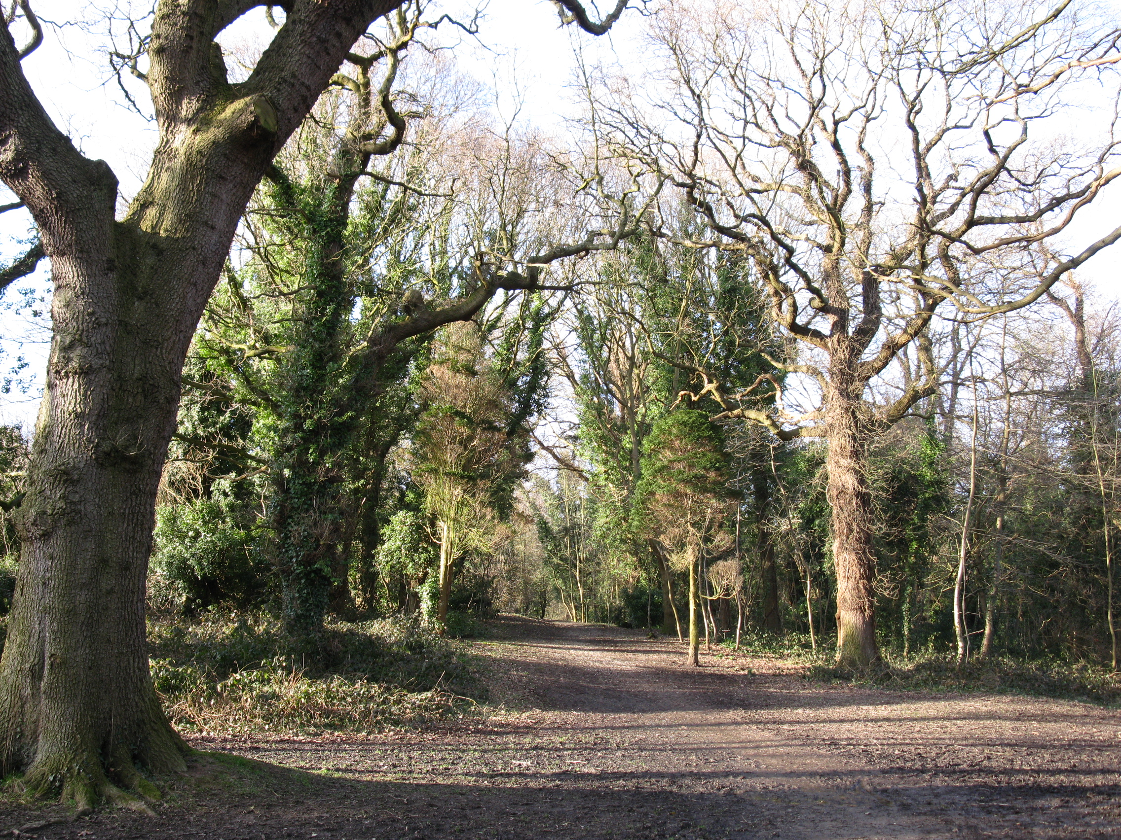
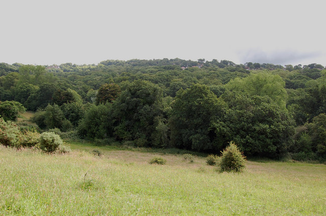
Coronation Wood, located in Sussex, England, is a picturesque woodland area that covers a significant portion of the landscape. Spanning over a vast area, this forest is a popular destination for nature enthusiasts and those seeking tranquility amidst the beauty of nature.
The wood boasts a diverse range of tree species, including oak, beech, and birch, creating a rich and vibrant ecosystem. The canopy formed by these trees provides shade and shelter for various wildlife species, making it a haven for birds and small mammals. The forest floor is carpeted with a lush carpet of wildflowers, adding to the enchanting ambiance of Coronation Wood.
A network of well-maintained walking trails winds through the forest, allowing visitors to explore its natural wonders at their own pace. These trails offer stunning views of the woodland, with occasional glimpses of open meadows and streams that meander through the area. The paths are suitable for all levels of walkers, making it accessible to families and individuals of all ages.
Coronation Wood is also steeped in history and folklore. It is said to have been named after King George VI's coronation in 1937, commemorating the historic event. Local legends tell tales of mythical creatures and ancient rituals that took place within the woods, adding an air of mystery and intrigue to the area.
Overall, Coronation Wood in Sussex is a captivating destination that offers a serene escape from the hustle and bustle of everyday life. Its natural beauty, diverse wildlife, and rich history make it a must-visit location for anyone seeking to immerse themselves in the wonders of nature.
If you have any feedback on the listing, please let us know in the comments section below.
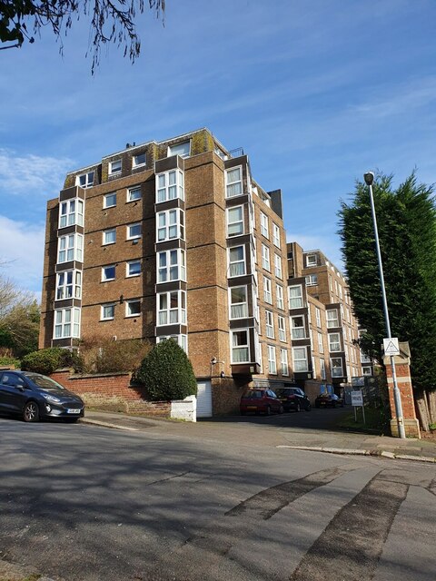
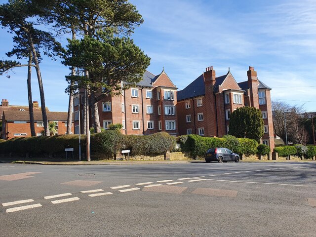
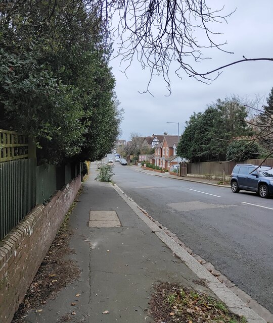
Coronation Wood Images
Images are sourced within 2km of 50.873249/0.56320325 or Grid Reference TQ8011. Thanks to Geograph Open Source API. All images are credited.


Coronation Wood is located at Grid Ref: TQ8011 (Lat: 50.873249, Lng: 0.56320325)
Administrative County: East Sussex
District: Hastings
Police Authority: Sussex
What 3 Words
///chemistry.recent.slug. Near Hastings, East Sussex
Nearby Locations
Related Wikis
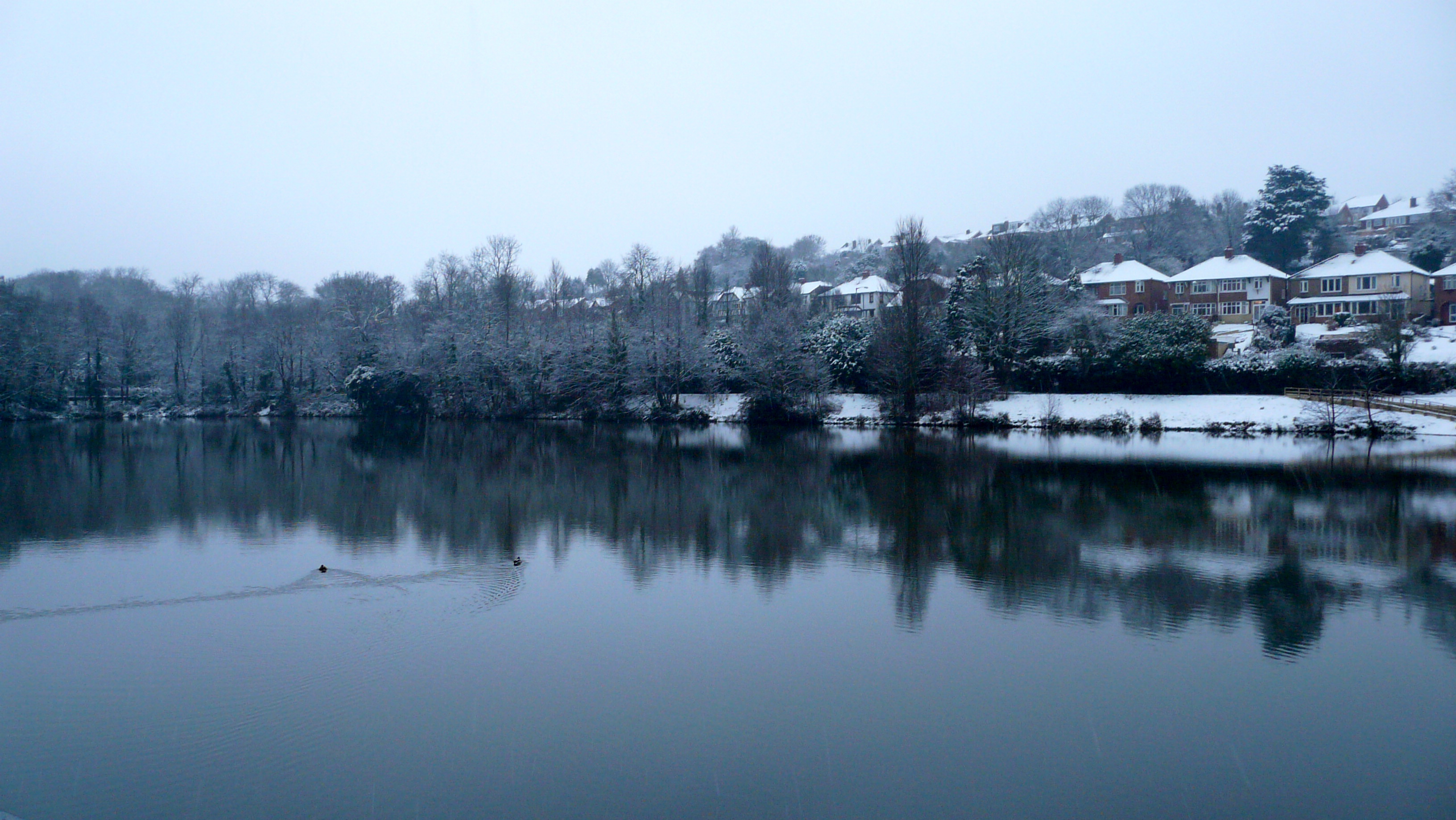
Old Roar Gill and Coronation Wood
Old Roar Gill and Coronation Wood is a 7.6-hectare (19-acre) Local Nature Reserve in Hastings in East Sussex. It is owned and managed by Hastings Borough...

Ark Alexandra Academy
Ark Alexandra, previously known as Hastings Grammar School, William Parker School, William Parker Sports College, and later as Ark William Parker is a...
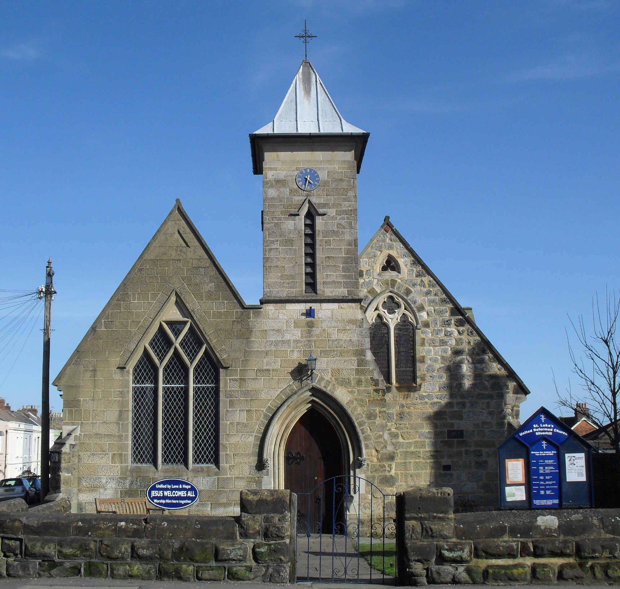
St Luke's United Reformed Church, Silverhill, Hastings
St Luke's Church is a United Reformed church in the Silverhill suburb of Hastings, a town and borough in East Sussex, England. The congregation was originally...

Silverhill, East Sussex
Silverhill is a suburb and local government ward of Hastings, East Sussex, England. It has a central location within the town, where the A21 meets the...
Alexandra Park, Hastings
Alexandra Park is a public park located in Hastings, East Sussex in England. Originally named St Andrews Gardens at its opening in 1864, it was then redesigned...

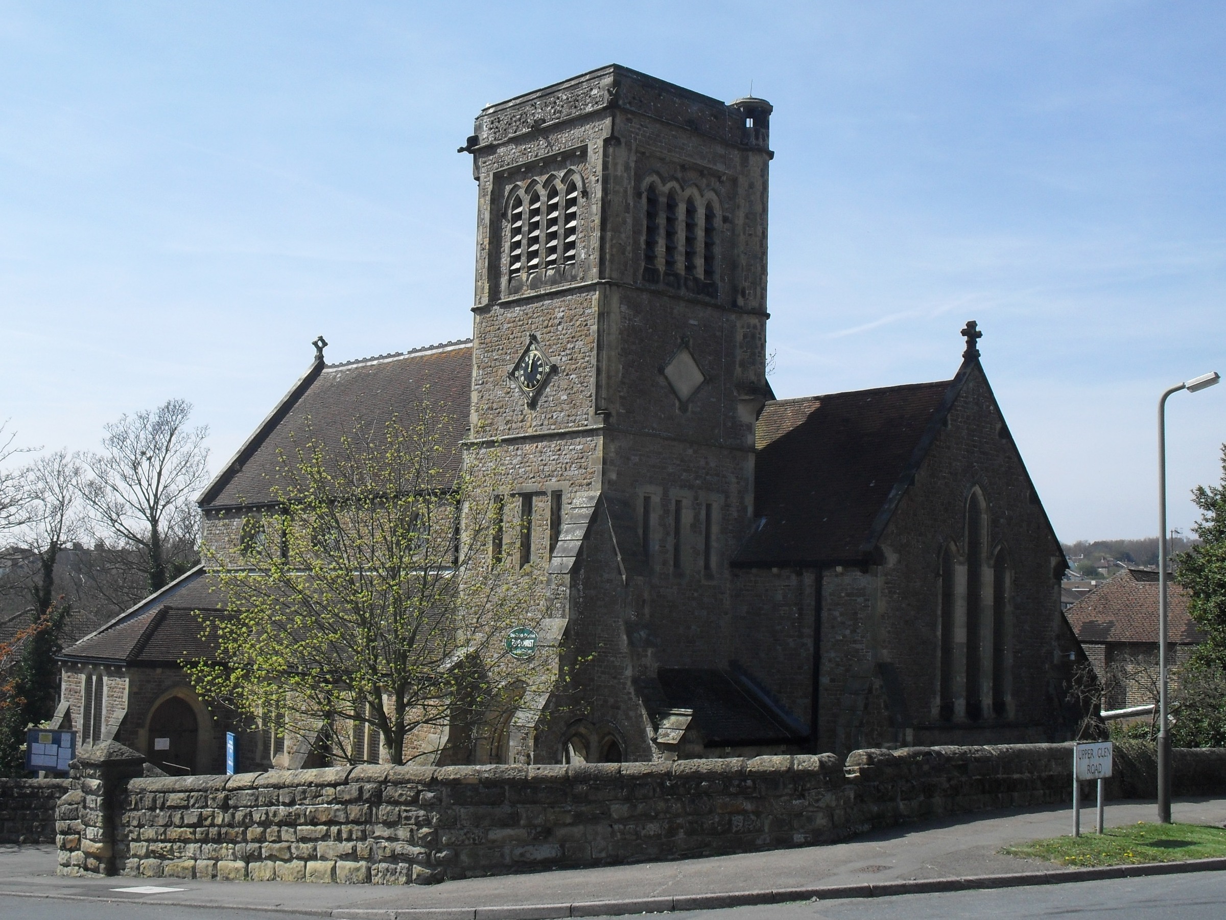
St Matthew's Church, Silverhill
St Matthew's Church is an Anglican church in the Silverhill suburb of Hastings, a town and borough in the English county of East Sussex. The present building...
Hollington, Hastings
Hollington is a council estate and local government ward in the northwest of Hastings, in the Hastings district, in the county of East Sussex, England...
St Helen's Wood
St Helen's Wood is a 34.6-hectare (85-acre) Local Nature Reserve in Hastings in East Sussex. It is owned and managed by the St Helens Park Preservation...
Nearby Amenities
Located within 500m of 50.873249,0.56320325Have you been to Coronation Wood?
Leave your review of Coronation Wood below (or comments, questions and feedback).