Easty Wood
Wood, Forest in Suffolk West Suffolk
England
Easty Wood
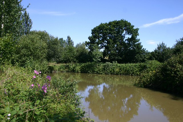
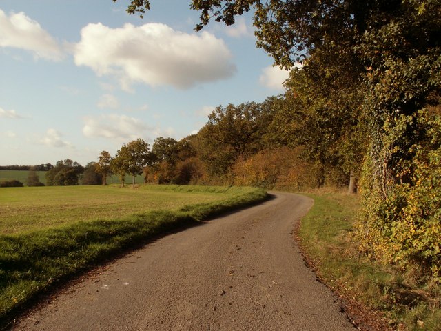
Easty Wood is a picturesque forest located in the county of Suffolk, England. It covers an area of approximately 500 acres and is known for its rich flora and fauna, making it a popular destination for nature lovers and outdoor enthusiasts.
The forest is characterized by a diverse range of tree species, including oak, beech, birch, and pine, which create a dense canopy that provides shade and shelter for a variety of wildlife. Visitors to Easty Wood can expect to encounter an array of bird species, such as woodpeckers, owls, and thrushes, as well as small mammals like squirrels and rabbits.
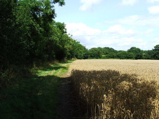
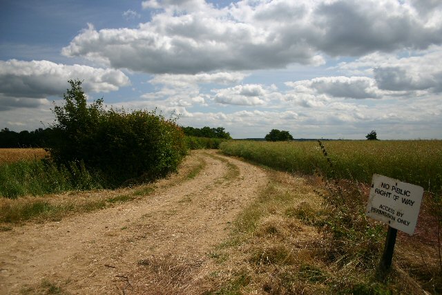
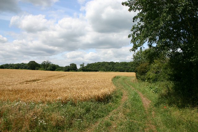
The woodland is crisscrossed by a network of well-maintained trails, allowing visitors to explore its natural beauty on foot or by bike. These trails lead to charming spots within the forest, such as tranquil ponds and clearings that are perfect for picnics or simply enjoying the peaceful surroundings.
Easty Wood is also home to an abundance of wildflowers, which carpet the forest floor in vibrant colors during the spring and summer months. Bluebells, primroses, and wild garlic are just a few of the species that can be found blooming in these enchanting woodlands.
In addition to its natural beauty, Easty Wood holds historical significance as well. The remains of an ancient Roman road can be found within the forest, offering glimpses into the area's past.
Overall, Easty Wood is a hidden gem in Suffolk, offering a tranquil escape from the hustle and bustle of everyday life, while providing a haven for wildlife and a haven for visitors seeking a connection with nature.
If you have any feedback on the listing, please let us know in the comments section below.
Easty Wood Images
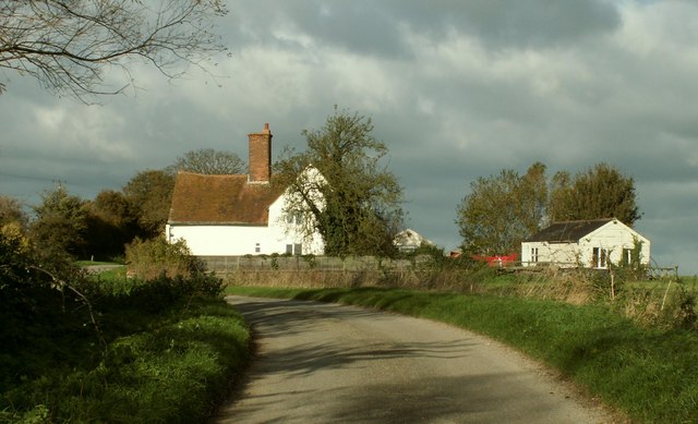
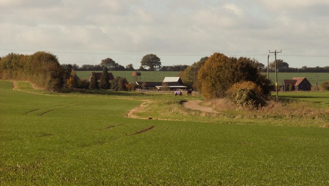
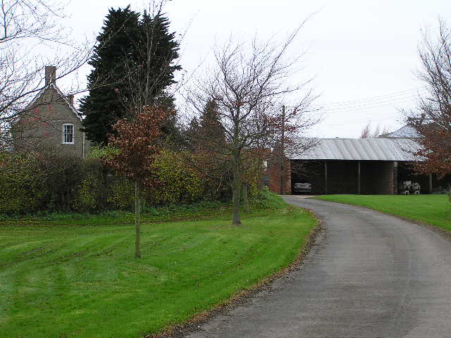
Images are sourced within 2km of 52.109243/0.62607407 or Grid Reference TL7948. Thanks to Geograph Open Source API. All images are credited.


Easty Wood is located at Grid Ref: TL7948 (Lat: 52.109243, Lng: 0.62607407)
Administrative County: Suffolk
District: West Suffolk
Police Authority: Suffolk
What 3 Words
///vegetable.removing.fighters. Near Glemsford, Suffolk
Nearby Locations
Related Wikis

Cavendish Woods
Cavendish Woods is a 53.5-hectare (132-acre) biological Site of Special Scientific Interest north-west of Glemsford in Suffolk.These ancient woods are...

Colt's Hall, Cavendish
Colt's Hall is an old manor house in Cavendish, Suffolk, England. It is a Grade II listed building. == Queen Elizabeth's visit == In this house George...
Risbridge Hundred
Risbridge is a hundred of Suffolk, consisting of 58,468 acres (236.61 km2).Risbridge Hundred forms the south western corner of Suffolk extending 15 miles...

St Mary the Virgin's Church, Cavendish
St Mary the Virgin's Church, Cavendish is a Grade I listed parish church in the Church of England in Cavendish, Suffolk. == History == A Saxon church at...

Cavendish, Suffolk
Cavendish is a village and civil parish in the Stour Valley in Suffolk, England. == Toponymy == Toponymists agree that Cavendish is called so because a...

Cavendish railway station
Cavendish railway station was a station that served the village of Cavendish in Suffolk, England. It opened in 1865 on the Stour Valley Railway between...

Poslingford
Poslingford is a village and civil parish in the West Suffolk district of Suffolk in eastern England, near to a stream that feeds the into the Chilton...

Glemsford
Glemsford is a village in the Babergh district in Suffolk, England, near the town of Sudbury. Glemsford is located near the River Glem and the River Stour...
Nearby Amenities
Located within 500m of 52.109243,0.62607407Have you been to Easty Wood?
Leave your review of Easty Wood below (or comments, questions and feedback).