Bircham Lane Plantation

Wood, Forest in Norfolk King's Lynn and West Norfolk

England

Bircham Lane Plantation

The Duck Inn, Stanhoe The Duck Inn 'has been a pub since the 1700's' <span class="nowrap"><a title="https://duckinn.co.uk/" rel="nofollow ugc noopener" href="https://duckinn.co.uk/">Link</a><img style="margin-left:2px;" alt="External link" title="External link - shift click to open in new window" src="https://s1.geograph.org.uk/img/external.png" width="10" height="10"/></span> and serves meals made from local produce as well as catering for those who just want a drink.  The name is appropriate to a village which boasts a large duckpond nearby.  The pub stands on the Burnham Road at the very edge of the village.
The Duck Inn, Stanhoe Credit: HelenK

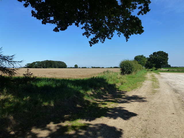
Bircham Lane Plantation is a picturesque woodland located in the county of Norfolk, England. Covering an area of approximately 100 acres, it is nestled in the heart of the Norfolk countryside, offering visitors a tranquil and natural escape from the bustling city life.

The plantation is predominantly composed of birch trees, which give the woodland its name. These elegant trees provide a stunning backdrop throughout the year, with their delicate silver bark and vibrant green leaves in the spring and summer, and their golden hues in the autumn months. The plantation is also home to a variety of other tree species, including oak, ash, and beech, which further enriches the diverse ecosystem within the woodland.

Walking through Bircham Lane Plantation, visitors will find a network of well-maintained footpaths that wind their way through the forest. These paths guide explorers through the enchanting woodland, leading them to discover hidden clearings, babbling brooks, and an abundance of wildlife. The woodland is teeming with animal and birdlife, providing a haven for species such as deer, rabbits, badgers, and a wide array of bird species.

The plantation is open to the public throughout the year, attracting nature enthusiasts, walkers, and families alike. It offers a peaceful retreat for those seeking solace in nature, as well as opportunities for outdoor activities such as picnicking, birdwatching, and photography.

In conclusion, Bircham Lane Plantation is a captivating woodland in Norfolk, England. With its diverse tree species, well-maintained footpaths, and abundant wildlife, it provides a delightful escape into nature for visitors of all ages.

If you have any feedback on the listing, please let us know in the comments section below.

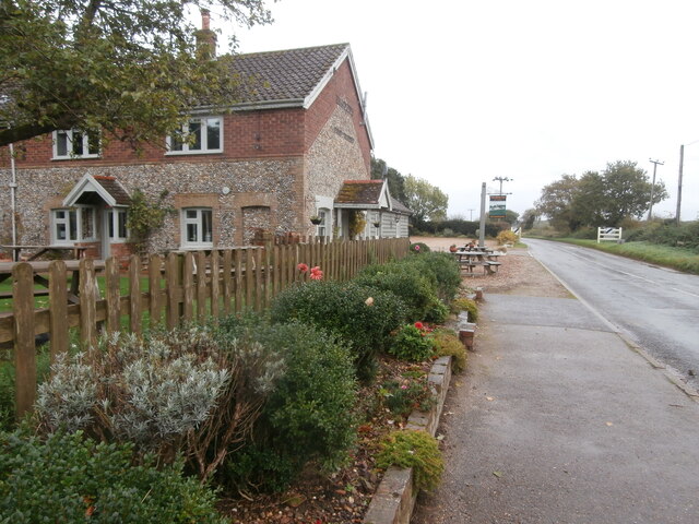
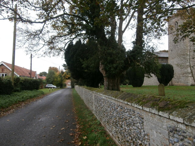
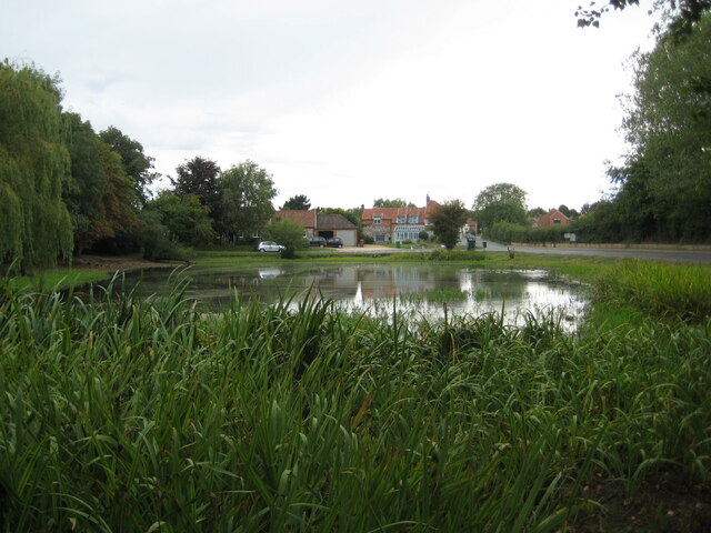
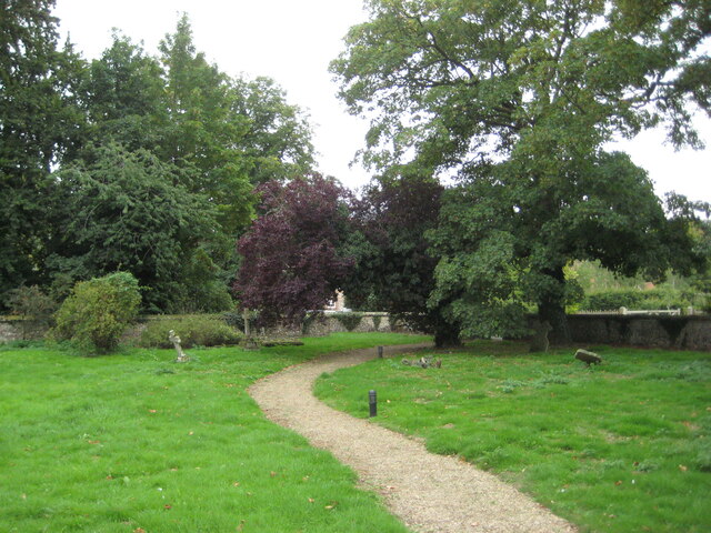
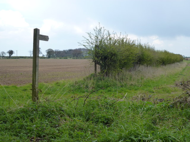
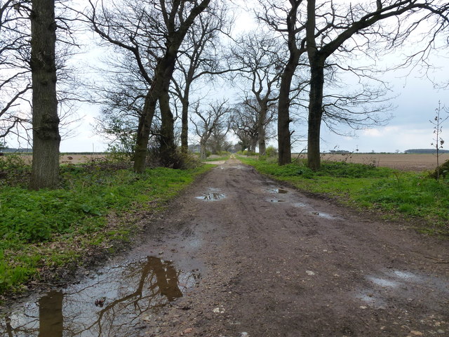
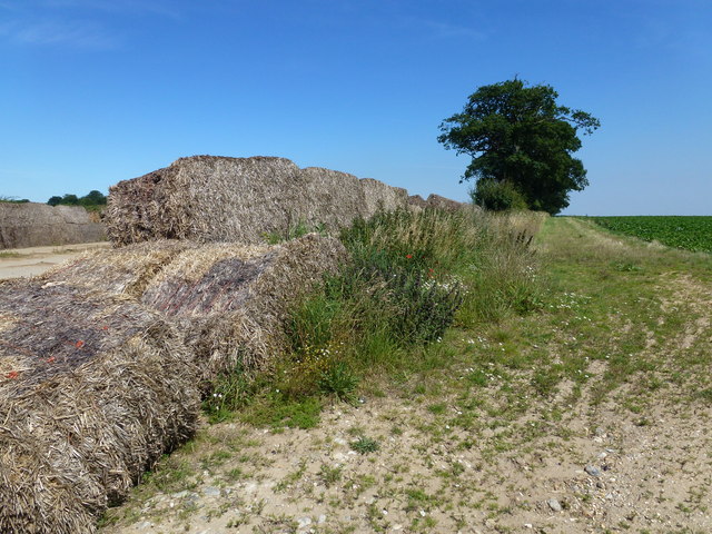
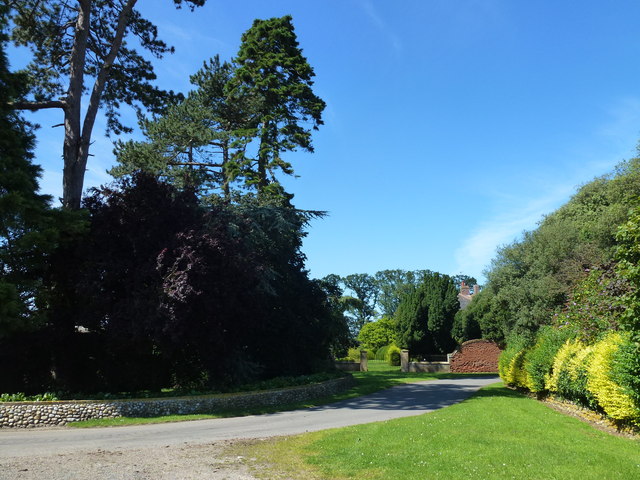
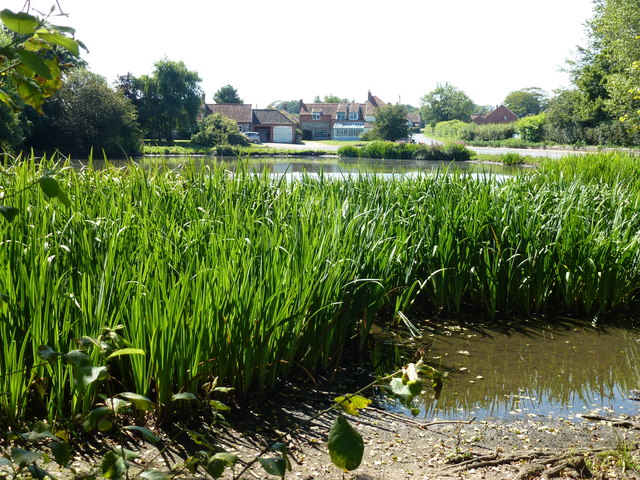
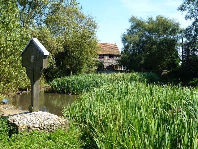
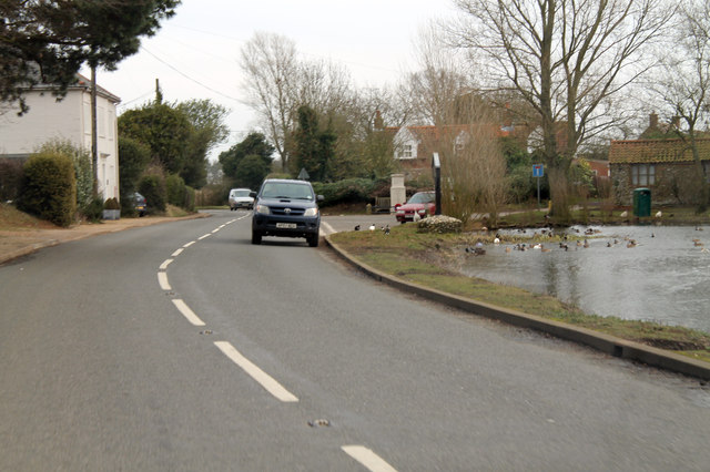
Bircham Lane Plantation Images

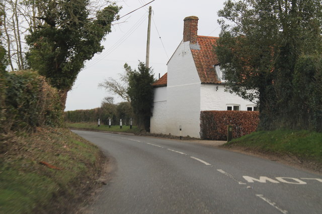
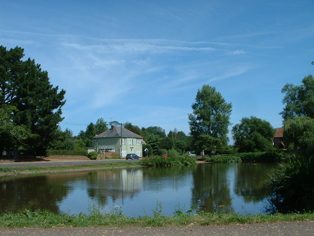
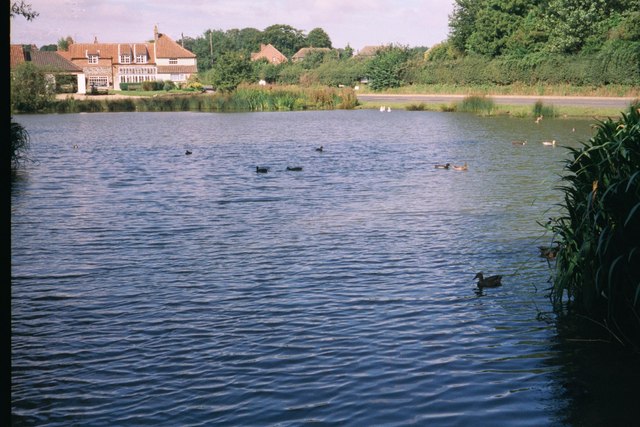
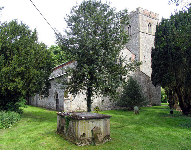
Images are sourced within 2km of 52.89128/0.67250763 or Grid Reference TF7935. Thanks to Geograph Open Source API. All images are credited.

The Duck Inn, Stanhoe The Duck Inn 'has been a pub since the 1700's' <span class="nowrap"><a title="https://duckinn.co.uk/" rel="nofollow ugc noopener" href="https://duckinn.co.uk/">Link</a><img style="margin-left:2px;" alt="External link" title="External link - shift click to open in new window" src="https://s1.geograph.org.uk/img/external.png" width="10" height="10"/></span> and serves meals made from local produce as well as catering for those who just want a drink.  The name is appropriate to a village which boasts a large duckpond nearby.  The pub stands on the Burnham Road at the very edge of the village.
The Duck Inn, Stanhoe
The Duck Inn 'has been a pub since the 1700's' LinkExternal link and serves meals made from local produce as well as catering for those who just want a drink. The name is appropriate to a village which boasts a large duckpond nearby. The pub stands on the Burnham Road at the very edge of the village.
Church Lane, Stanhoe On the right is All Saints' Church <span class="nowrap"><a title="https://stanhoe.org/church" rel="nofollow ugc noopener" href="https://stanhoe.org/church">Link</a><img style="margin-left:2px;" alt="External link" title="External link - shift click to open in new window" src="https://s1.geograph.org.uk/img/external.png" width="10" height="10"/></span> ; the materials used for the perimeter wall are characteristic of the area. On the left is the former school house, now a private home. A similar view of this road in past times can be seen at <span class="nowrap"><a title="https://stanhoe.org/gallery/picture.php?/1312/category/34" rel="nofollow ugc noopener" href="https://stanhoe.org/gallery/picture.php?/1312/category/34">Link</a><img style="margin-left:2px;" alt="External link" title="External link - shift click to open in new window" src="https://s1.geograph.org.uk/img/external.png" width="10" height="10"/></span>
Church Lane, Stanhoe
On the right is All Saints' Church LinkExternal link ; the materials used for the perimeter wall are characteristic of the area. On the left is the former school house, now a private home. A similar view of this road in past times can be seen at LinkExternal link
Village pond, Stanhoe The water level is low following a period of little rain.
Village pond, Stanhoe
The water level is low following a period of little rain.
The churchyard, Stanhoe
Public footpath near Little Barwick, Norfolk
Track near Little Barwick, Norfolk
Rotting straw bales on a beet storage slab, Great Barwick The usual method of storing lifted sugar beet is on large concrete slabs with walls made of large straw bales, these have seen better days.
Rotting straw bales on a beet storage slab, Great Barwick
The usual method of storing lifted sugar beet is on large concrete slabs with walls made of large straw bales, these have seen better days.
Driveway to Barwick Hall
Holgate Road near Little Barwick Close to the Norfolk village of Stanhoe Holgate Road is actually a track which runs for several miles through farmland
Holgate Road near Little Barwick
Close to the Norfolk village of Stanhoe Holgate Road is actually a track which runs for several miles through farmland
Looking over the village pond, Stanhoe, Norfolk
Stanhoe in Norfolk The village sign on the edge of the pond, also see <span class="nowrap"><a title="http://stanhoe.org/history/notes/harvest-1920s" rel="nofollow ugc noopener" href="http://stanhoe.org/history/notes/harvest-1920s">Link</a><img style="margin-left:2px;" alt="External link" title="External link - shift click to open in new window" src="https://s1.geograph.org.uk/img/external.png" width="10" height="10"/></span>
Stanhoe in Norfolk
The village sign on the edge of the pond, also see LinkExternal link
B1155 and duckpond at Stanhoe
House on Bircham Road B1155 heading north east.
House on Bircham Road
B1155 heading north east.
Village pond, Stanhoe, Norfolk As 2006 progresses this pond is getting less full as the amount of rainfall decreases.
Village pond, Stanhoe, Norfolk
As 2006 progresses this pond is getting less full as the amount of rainfall decreases.
Stanhoe Village Pond
All Saints, Stanhoe, Norfolk
All Saints, Stanhoe, Norfolk - East end
Show me another place!

Bircham Lane Plantation is located at Grid Ref: TF7935 (Lat: 52.89128, Lng: 0.67250763)

Administrative County: Norfolk

District: King's Lynn and West Norfolk

Police Authority: Norfolk

What 3 Words

///keeps.compress.chew. Near Snettisham, Norfolk

Nearby Locations

Bircham Lane Plantation

Related Wikis

Stanhoe

Stanhoe is a village and civil parish in the English county of Norfolk, 6.4 miles (10.2 km) from the North Sea. It covers an area of 6.06 km2 (2.34 sq...

Barwick, Norfolk

Barwick is a scattered hamlet and civil parish in the north-west part of the English county of Norfolk. It is situated adjacent to the slightly larger...

RAF Bircham Newton

Royal Air Force Bircham Newton or more simply RAF Bircham Newton is a former Royal Air Force station located 2.1 miles (3.4 km) south east of Docking,...

Stanhoe railway station

Stanhoe was a railway station which served the village of Stanhoe in Norfolk, England. Opened by the West Norfolk Junction Railway in 1866, it closed to...

Have you been to Bircham Lane Plantation?

Leave your review of Bircham Lane Plantation below (or comments, questions and feedback).