Crabrow Belt
Wood, Forest in Suffolk West Suffolk
England
Crabrow Belt
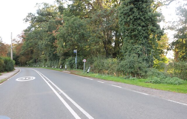
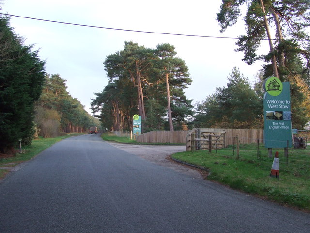
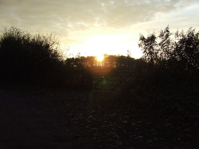
Crabrow Belt, Suffolk is a picturesque woodland area located in the county of Suffolk, England. It is known for its dense and lush forest, which spans over a vast area. The belt is situated in close proximity to the village of Wood, making it easily accessible to visitors and locals alike.
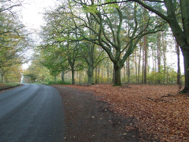
The forest in Crabrow Belt is predominantly composed of a variety of tree species, including oak, beech, and pine, creating a diverse and vibrant ecosystem. The dense canopy provides shelter to numerous wildlife species, such as deer, squirrels, and a wide array of bird species.
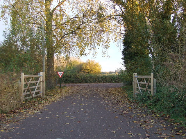
The area is a haven for nature enthusiasts and outdoor adventurers, offering various recreational activities. Visitors can explore the forest through well-maintained walking trails, which wind through the woodland, providing stunning views of the natural surroundings. The trails are suitable for all levels of hikers, from beginners to experienced trekkers.
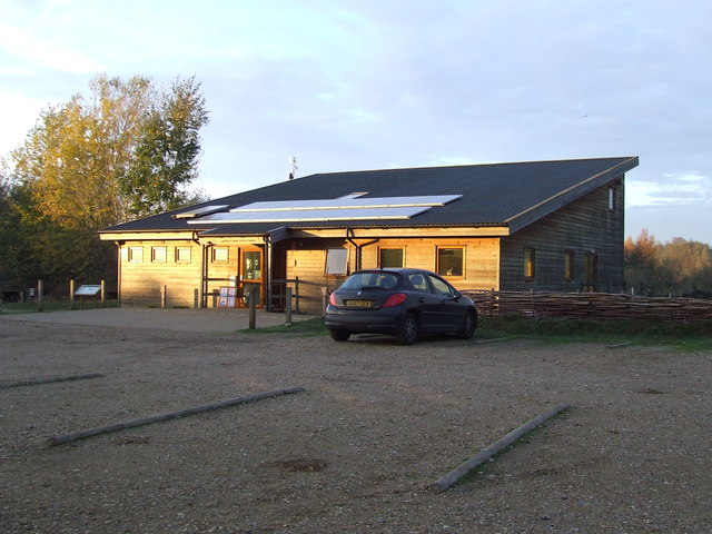
Crabrow Belt also features a designated picnic area, allowing visitors to enjoy a leisurely lunch amidst the tranquil ambiance of the forest. Additionally, there are areas specifically designated for birdwatching, providing bird lovers with the opportunity to observe and appreciate the diverse avian population.
The Suffolk Forest Commission plays an integral role in preserving and maintaining the Crabrow Belt woodland. Their dedicated efforts ensure that the forest remains a pristine and natural habitat for wildlife while providing a serene and peaceful environment for visitors to enjoy.
Overall, Crabrow Belt, Suffolk is a captivating woodland area that offers a harmonious blend of natural beauty, wildlife diversity, and recreational opportunities, making it a must-visit destination for nature enthusiasts in Suffolk.
If you have any feedback on the listing, please let us know in the comments section below.
Crabrow Belt Images
Images are sourced within 2km of 52.295695/0.63310463 or Grid Reference TL7969. Thanks to Geograph Open Source API. All images are credited.

Crabrow Belt is located at Grid Ref: TL7969 (Lat: 52.295695, Lng: 0.63310463)
Administrative County: Suffolk
District: West Suffolk
Police Authority: Suffolk
What 3 Words
///signified.foiled.finishing. Near Bury St Edmunds, Suffolk
Nearby Locations
Related Wikis

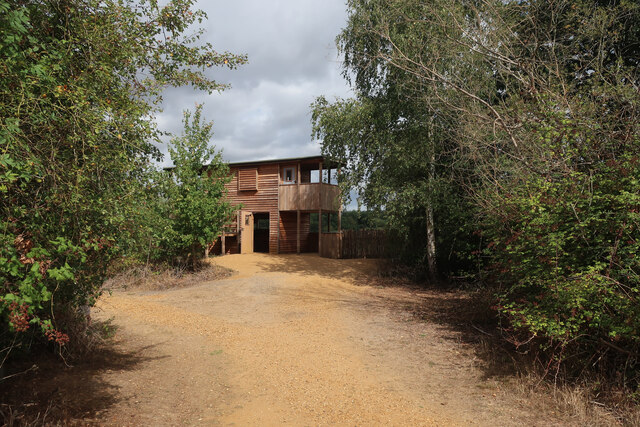
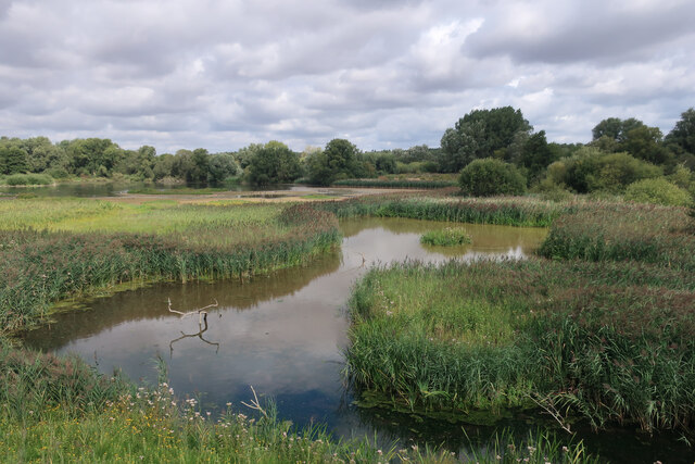
Lackford Lakes
Lackford Lakes is a 105.8-hectare (261-acre) biological Site of Special Scientific Interest (SSSI) north and east of Lackford in Suffolk. The SSSI is part...

Lackford
Lackford is a village and civil parish in the West Suffolk district of Suffolk in eastern England. Located around four miles north-west of Bury St Edmunds...

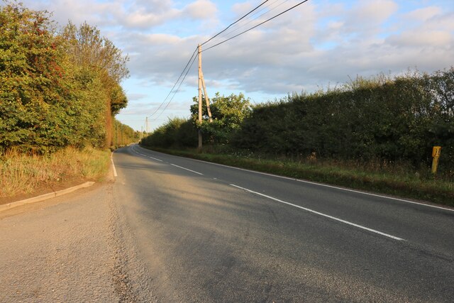
Flempton
Flempton is a village and civil parish in the West Suffolk district of Suffolk, England. It is on the A1101 road 5 miles NW from Bury St Edmunds. Flempton...

West Stow Heath
West Stow Heath is a 44.3-hectare (109-acre) biological Site of Special Scientific Interest west of West Stow in Suffolk. It is part of the Breckland Special...

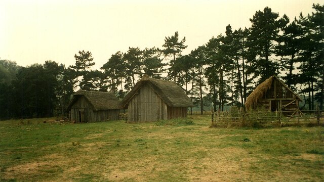
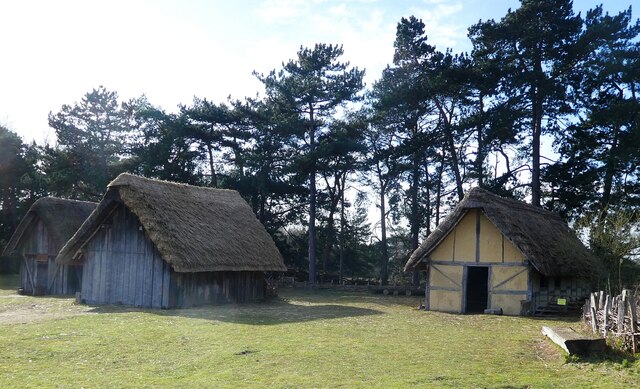
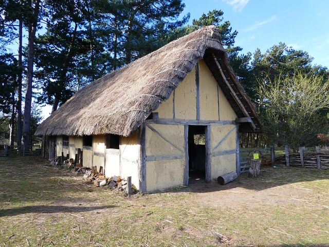
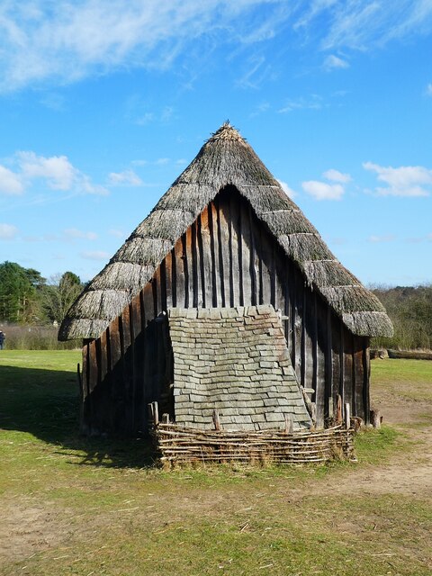
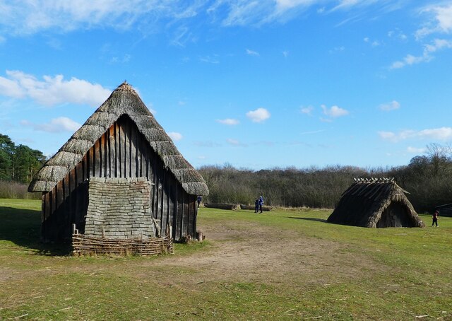
West Stow Anglo-Saxon Village
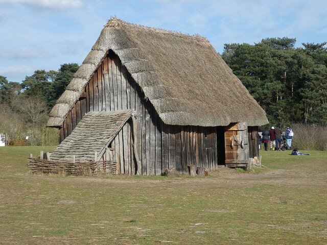
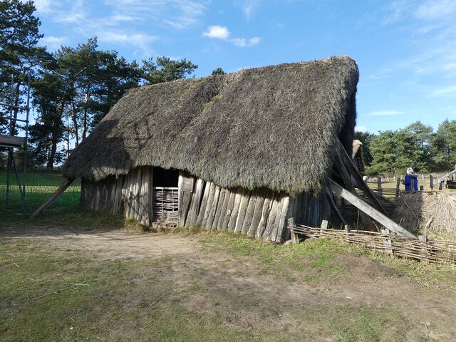
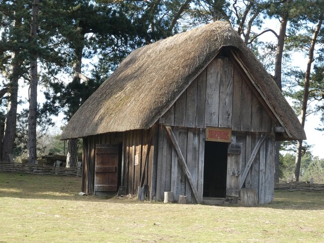
West Stow Anglo-Saxon Village is an archaeological site and an open-air museum located near to West Stow in Suffolk, eastern England. Evidence for intermittent...

West Stow Hall
West Stow Hall is a Tudor manor house in West Stow, Suffolk, England, near Bury St Edmunds. It was begun in around 1520 for Sir John Croftes, Master of...

Old Broom
Old Broom is a 6.5-hectare (16-acre) nature reserve north of Risby in Suffolk. It is managed by the Suffolk Wildlife Trust.This is a remnant of an ancient...

Black Ditches, Cavenham
Black Ditches is an earthwork close to the village of Cavenham of Suffolk, and part of it is a biological Site of Special Scientific Interest (SSSI). The...
Nearby Amenities
Located within 500m of 52.295695,0.63310463Have you been to Crabrow Belt?
Leave your review of Crabrow Belt below (or comments, questions and feedback).