Poors Plantation
Wood, Forest in Suffolk West Suffolk
England
Poors Plantation
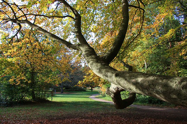
Poors Plantation, located in Suffolk, England, is a sprawling woodland area known for its diverse ecosystem and natural beauty. Covering a vast area, this plantation is a significant part of the local landscape and plays a crucial role in preserving the region's biodiversity.
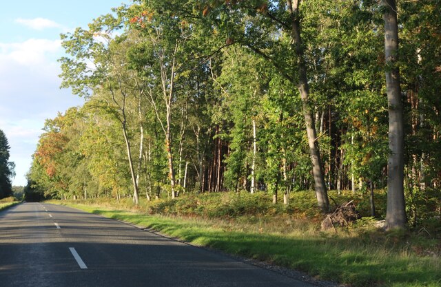
The plantation is primarily comprised of dense woodlands, housing a wide variety of tree species such as oak, beech, and birch. These towering trees create a dense canopy, providing shelter and a nesting ground for numerous bird species, including woodpeckers, nightingales, and owls. Additionally, the woodland floor is carpeted with an assortment of wildflowers, adding a vibrant splash of colors during the spring and summer months.
The plantation is also home to a diverse range of wildlife, including deer, foxes, badgers, and rabbits. These animals find refuge within the woodland, benefiting from the abundant food sources and protective cover offered by the dense vegetation.
Poors Plantation is not only a haven for flora and fauna but also serves as a recreational area for locals and visitors alike. With well-marked trails meandering through the woodland, it provides an ideal setting for hiking, walking, and birdwatching. The peaceful ambiance, coupled with the enchanting natural surroundings, attracts nature enthusiasts and photographers who are keen to capture the area's raw beauty.
Furthermore, the plantation is actively managed to maintain its ecological balance. Regular tree planting initiatives and conservation efforts are undertaken to ensure the long-term sustainability of the woodland and its inhabitants.
Overall, Poors Plantation in Suffolk is a remarkable woodland area that showcases the beauty of nature and serves as a vital ecological resource for the region.
If you have any feedback on the listing, please let us know in the comments section below.
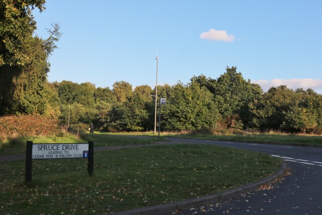
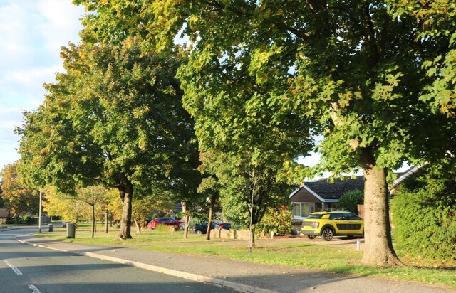
Poors Plantation Images
Images are sourced within 2km of 52.435124/0.63957286 or Grid Reference TL7985. Thanks to Geograph Open Source API. All images are credited.


Poors Plantation is located at Grid Ref: TL7985 (Lat: 52.435124, Lng: 0.63957286)
Administrative County: Suffolk
District: West Suffolk
Police Authority: Suffolk
What 3 Words
///highly.slippery.manliness. Near Weeting, Norfolk
Nearby Locations
Related Wikis
Brandon Country Park
Brandon Country Park is a country park in Brandon, Suffolk, England. == History == In 1820 Edward Bliss bought Brandon Park house and grounds using wealth...

Brandon, Suffolk
Brandon is a town and civil parish in the English county of Suffolk. Brandon is located in the Breckland area of Suffolk in the extreme north-west of the...
London Road Industrial Estate, Brandon
London Road Industrial Estate, Brandon is a 0.1-hectare (0.25-acre) biological Site of Special Scientific Interest (SSSI) in Brandon in Suffolk.This very...

Brandon railway station
Brandon railway station is on the Breckland Line in the East of England, serving the town of Brandon, Suffolk, although the station is actually situated...
Nearby Amenities
Located within 500m of 52.435124,0.63957286Have you been to Poors Plantation?
Leave your review of Poors Plantation below (or comments, questions and feedback).