Alder Carr

Wood, Forest in Suffolk West Suffolk

England

Alder Carr

Bridleway, Hickford Hill A broad fieldside track through arable farmland.
Bridleway, Hickford Hill Credit: Des Blenkinsopp

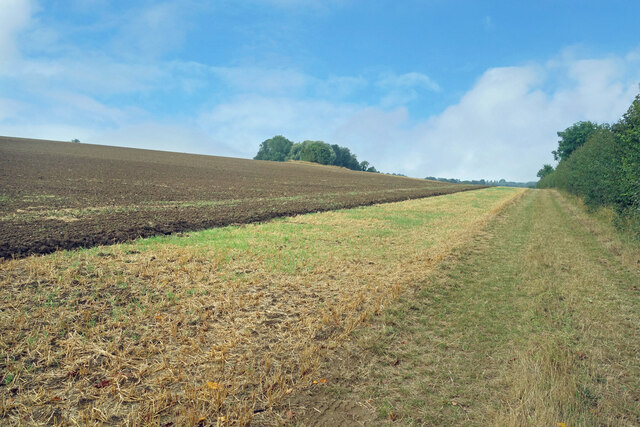
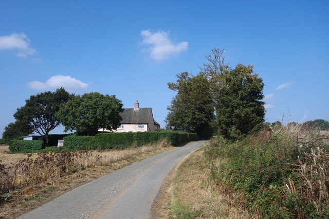
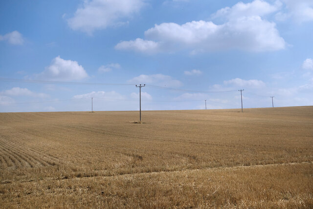
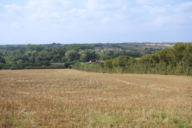
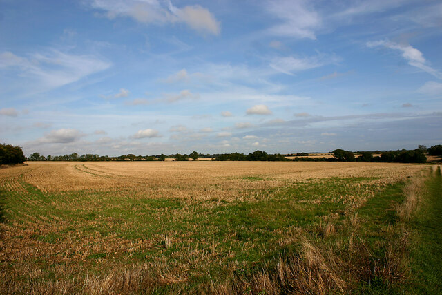
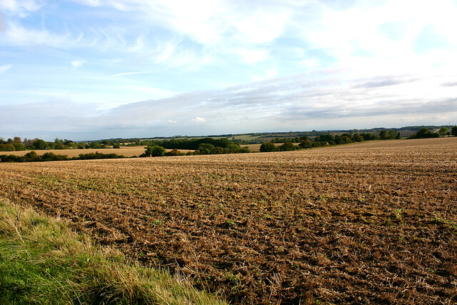
Alder Carr, Suffolk, also known as the Wood or Forest of Alder Carr, is a breathtaking natural area located in the county of Suffolk, England. Spanning approximately 1,000 acres, this magnificent woodland is a haven for nature enthusiasts and outdoor adventurers alike.

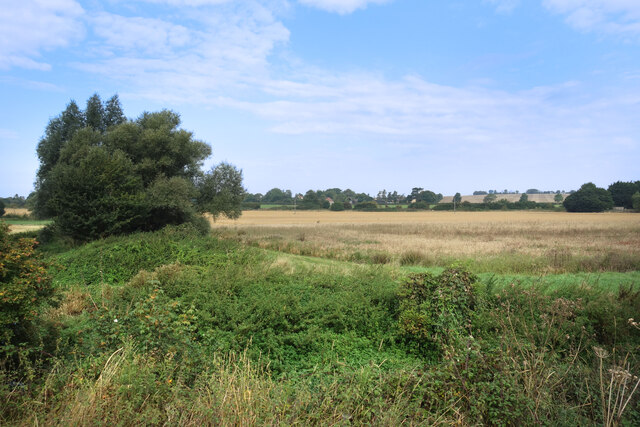
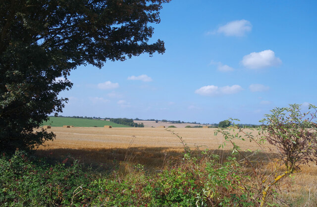
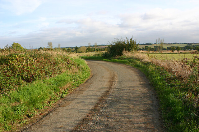
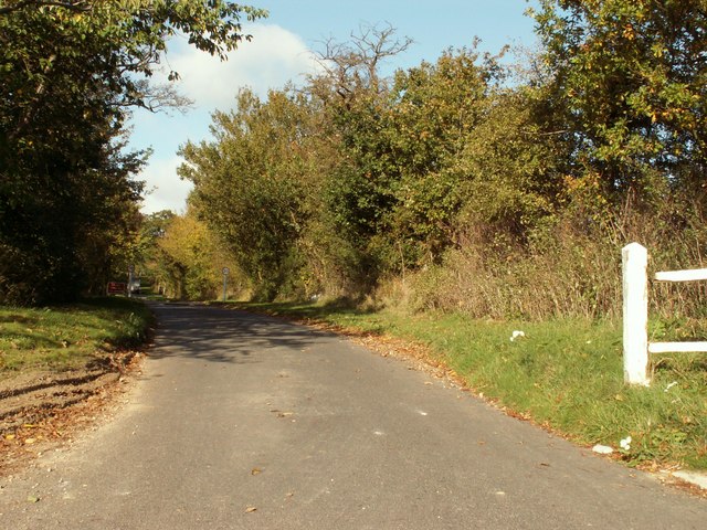
The Alder Carr is defined by its dense forest cover, primarily consisting of alder trees, which give the area its name. These trees thrive in the wet and marshy soil found in the region, creating a unique and diverse ecosystem. The woodland also features a variety of other tree species, including oak, birch, and willow, adding to its rich biodiversity.

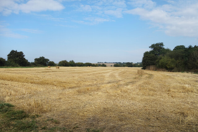
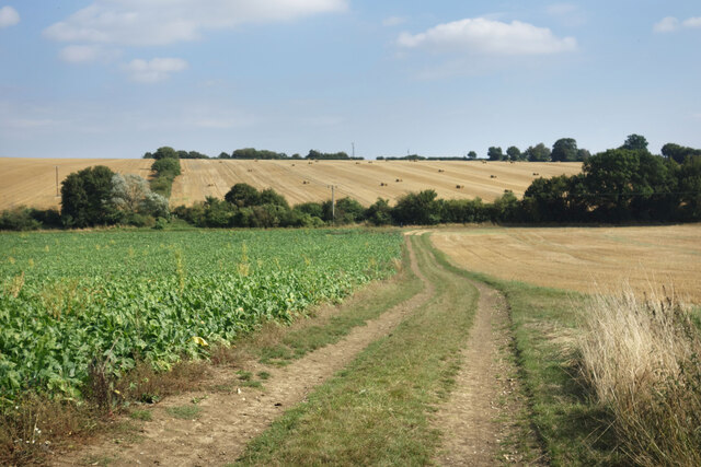
The landscape of Alder Carr is characterized by its tranquil beauty, with winding footpaths that meander through the forest, offering visitors a chance to immerse themselves in nature. The area is home to an abundance of wildlife, including deer, foxes, badgers, and a wide array of bird species. Birdwatchers will be particularly captivated by the numerous bird hides scattered throughout the forest, providing ideal vantage points for observing the local avian population.

Alder Carr is not only a natural wonder but also plays a vital role in water management for the surrounding areas. The wetland areas found within the woodland act as natural sponges, absorbing and filtering rainfall, helping to prevent flooding in nearby communities.

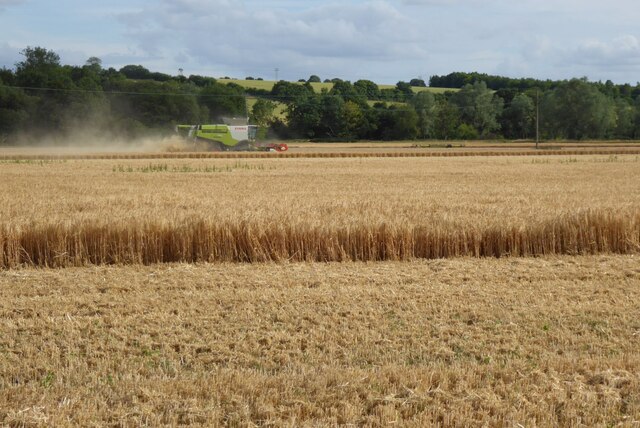
Visitors to Alder Carr can enjoy a range of recreational activities, such as walking, cycling, and birdwatching. There are also designated picnic areas, allowing families and friends to relax and enjoy the peaceful surroundings. With its stunning landscapes and abundant wildlife, Alder Carr is a true gem of Suffolk, offering a serene and unforgettable experience for all who venture into its depths.

If you have any feedback on the listing, please let us know in the comments section below.
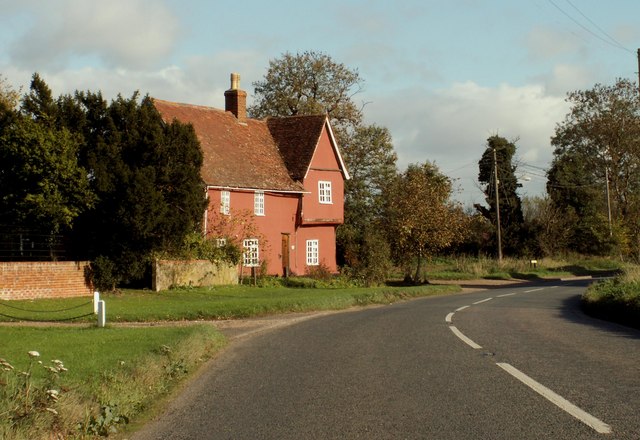
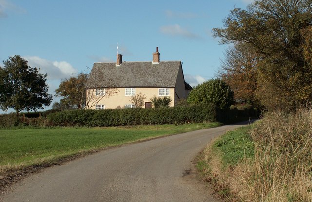
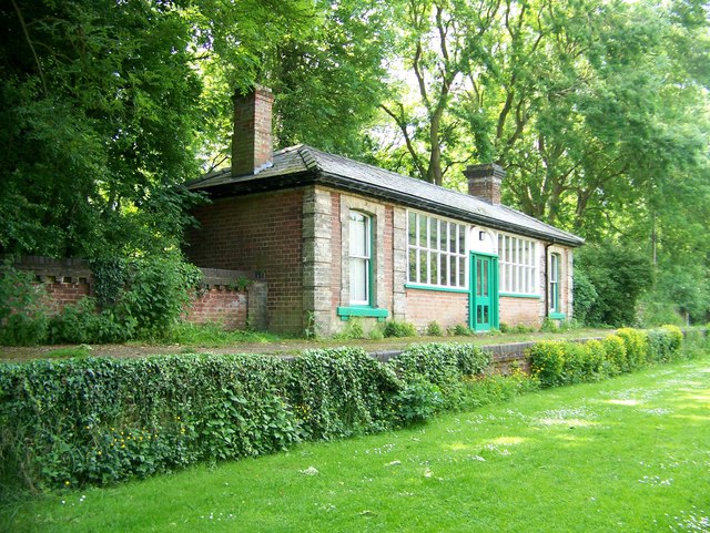
Alder Carr Images

Images are sourced within 2km of 52.085926/0.6167194 or Grid Reference TL7946. Thanks to Geograph Open Source API. All images are credited.

Bridleway, Hickford Hill A broad fieldside track through arable farmland.
Bridleway, Hickford Hill
A broad fieldside track through arable farmland.
Can't see the Stour The River Stour is in amongst all the weeds in the foreground, but there's not a lot of water in it just now and you can't really see it from the path.
Clare Hill Farm just visible in the trees mid picture.
Can't see the Stour
The River Stour is in amongst all the weeds in the foreground, but there's not a lot of water in it just now and you can't really see it from the path. Clare Hill Farm just visible in the trees mid picture.
Stubble field near Clare The bridleway between Clare and Cavendish is nearly all through arable fields.
Stubble field near Clare
The bridleway between Clare and Cavendish is nearly all through arable fields.
Old Shed at Bower Hall One of several old timber buildings here.
Old Shed at Bower Hall
One of several old timber buildings here.
House by the Stour Valley Path Mumford Cottages according to the map. A short roadside length of the Stour Valley Path goes past before heading off left beyond the trees.
House by the Stour Valley Path
Mumford Cottages according to the map. A short roadside length of the Stour Valley Path goes past before heading off left beyond the trees.
North of the Stour Valley Path Arable farmland all the way.
North of the Stour Valley Path
Arable farmland all the way.
Concrete Yard at Houghton Hall The Stour Valley Path goes round the back of various farm buildings here.
Concrete Yard at Houghton Hall
The Stour Valley Path goes round the back of various farm buildings here.
Farmland at Houghton Hall The Stour Valley Path amidst the stubble and sugar beet.
Farmland at Houghton Hall
The Stour Valley Path amidst the stubble and sugar beet.
Farmland & Cables A large open field dotted with hazards to stop tractor drivers dozing off.
Farmland & Cables
A large open field dotted with hazards to stop tractor drivers dozing off.
Clare in the Valley The town of Clare is down there among the trees. A view from the Stour Valley Path.
Clare in the Valley
The town of Clare is down there among the trees. A view from the Stour Valley Path.
Suffolk landscape north of Houghton Hall, Cavendish Taken from the footpath from Clare to Cavendish west of Houghton Hall.
Suffolk landscape north of Houghton Hall, Cavendish
Taken from the footpath from Clare to Cavendish west of Houghton Hall.
Suffolk landscape south of Houghton Hall, Cavendish This gives a view into the Stour valley from the footpath between Clare and Cavendish which runs along the northern edge of the valley.
Suffolk landscape south of Houghton Hall, Cavendish
This gives a view into the Stour valley from the footpath between Clare and Cavendish which runs along the northern edge of the valley.
Bend in Colt's Hall Road, Cavendish
Harvesting a field of wheat This is the first time I have ever seen wheat harvested before the end of June.  In fact not only is it the earliest I have seen wheat harvested, it is the first time I have ever heard a cuckoo after the first harvest.  The following morning I heard a cuckoo call near Wordwell, north of Bury St Edmunds.
Harvesting a field of wheat
This is the first time I have ever seen wheat harvested before the end of June. In fact not only is it the earliest I have seen wheat harvested, it is the first time I have ever heard a cuckoo after the first harvest. The following morning I heard a cuckoo call near Wordwell, north of Bury St Edmunds.
Paine's Manor The original timber-framed part of Paine's Manor must be, at least, early 16th century, and there has been modern extensions added.
Paine's Manor
The original timber-framed part of Paine's Manor must be, at least, early 16th century, and there has been modern extensions added.
Road to Houghton Hall, just west of Cavendish
Old house on the A.1092 This house is called Yew Tree House.
Old house on the A.1092
This house is called Yew Tree House.
Cottage on the road to Colt's Hall Just behind the cottage lies the Stour Valley Path.
Cottage on the road to Colt's Hall
Just behind the cottage lies the Stour Valley Path.
Show me another place!

Alder Carr is located at Grid Ref: TL7946 (Lat: 52.085926, Lng: 0.6167194)

Administrative County: Suffolk

District: West Suffolk

Police Authority: Suffolk

What 3 Words

///suitably.differ.spines. Near Clare, Suffolk

Nearby Locations

Alder Carr

Related Wikis

Cavendish, Suffolk

Cavendish is a village and civil parish in the Stour Valley in Suffolk, England. == Toponymy == Toponymists agree that Cavendish is called so because a...

St Mary the Virgin's Church, Cavendish

St Mary the Virgin's Church, Cavendish is a Grade I listed parish church in the Church of England in Cavendish, Suffolk. == History == A Saxon church at...

Colt's Hall, Cavendish

Colt's Hall is an old manor house in Cavendish, Suffolk, England. It is a Grade II listed building. == Queen Elizabeth's visit == In this house George...

Cavendish railway station

Cavendish railway station was a station that served the village of Cavendish in Suffolk, England. It opened in 1865 on the Stour Valley Railway between...

Risbridge Hundred

Risbridge is a hundred of Suffolk, consisting of 58,468 acres (236.61 km2).Risbridge Hundred forms the south western corner of Suffolk extending 15 miles...

Stour Valley Community School

Stour Valley Community School is a coeducational free school for pupils aged 11 to 16 in Clare in the English county of Suffolk. It opened in September...

Clare railway station

Clare railway station was a station that served the village of Clare in Suffolk, England. It opened in 1865 on the Stour Valley Railway between Sudbury...

Clare Castle Country Park

Clare Castle Country Park in Suffolk, England, was created around the ruins of Clare Castle and incorporates the now defunct Clare railway station on the...

Nearby Amenities

Located within 500m of 52.085926,0.6167194
Power: pole
Lat/Long: 52.0880191/0.6111065
Power: pole
Lat/Long: 52.0888497/0.6118978
Power: pole
Lat/Long: 52.0870995/0.6102402
The data included in this document is from www.openstreetmap.org. The data is made available under ODbL.

Have you been to Alder Carr?

Leave your review of Alder Carr below (or comments, questions and feedback).